The best walks and hikes around Armentieux
4.6
(31)
195
hikers
32
hikes
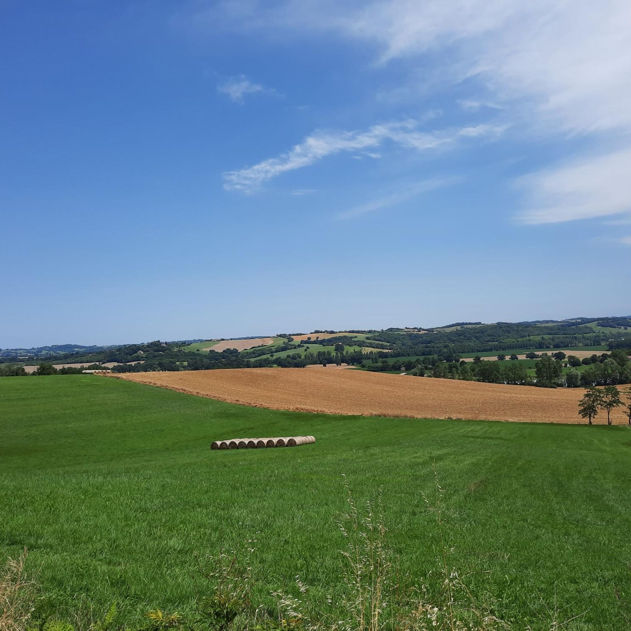
Hiking around Armentieux offers a range of routes through the region's varied terrain. The area features a mix of open countryside and agricultural lands, with gentle ascents and descents. Elevations on hiking trails typically range up to 368 meters, providing diverse landscapes without significant mountainous features. The network of paths includes options from short, easy walks to longer, more challenging routes.
Best hiking trails around Armentieux
- The most popular hiking route is Marciac – Chiesa di Notre-Dame loop from Marciac…
Last updated: May 23, 2026
4.5
(2)
27
hikers
14.9km
04:02
210m
210m
Moderate hike. Good fitness required. Easily-accessible paths. Suitable for all skill levels.
5.0
(4)
29
hikers
29.8km
08:00
370m
370m
Hard hike. Very good fitness required. Easily-accessible paths. Suitable for all skill levels.

Sign up for free
4.7
(3)
36
hikers
2.79km
00:42
10m
10m
Easy hike. Great for any fitness level. Easily-accessible paths. Suitable for all skill levels.
4.5
(2)
28
hikers
5.07km
01:17
10m
10m
Easy hike. Great for any fitness level. Easily-accessible paths. Suitable for all skill levels.
7
hikers
10.4km
02:48
140m
140m
Moderate hike. Good fitness required. Easily-accessible paths. Suitable for all skill levels.
Get access to more routes and recommendations from other explorers.
Sign up for free
Already have an account?
Our route recommendations are based on thousands of hikes, rides, and runs completed by other people on komoot.
Start today with a free account
Your next adventure awaits.
Login or Signup



Tips from the Community


Pretty little town in the Gers which has a jazz festival in August.
0
0


Bastide founded in 1298, Marciac is an essential stop on the road to Compostela. Its small, atypical streets and market halls give it a certain charm. The city is also renowned for its jazz festival which has attracted big names for over 40 years.
2
0
Frequently Asked Questions
How many hiking trails are available around Armentieux?
Armentieux offers a diverse network of over 30 hiking trails. These routes traverse the region's rolling countryside and agricultural lands, providing options for various skill levels.
Are there easy hiking trails suitable for beginners or families in Armentieux?
Yes, Armentieux has 14 easy hiking trails perfect for beginners or families. An excellent option is the Chiesa di Notre-Dame loop from Marciac, which is 3.2 miles (5.1 km) long and features gentle paths and views of local landmarks.
What kind of terrain can I expect on hikes in Armentieux?
The hiking trails in Armentieux primarily feature rolling countryside, agricultural lands, and small hills. You'll experience a mix of open fields and gentle ascents and descents, with elevations typically reaching up to 368 meters.
Are there challenging hiking routes for experienced hikers in Armentieux?
For experienced hikers seeking a challenge, Armentieux offers routes like the Samazan – Trattore Fiat loop from Auriébat. This difficult 18.5-mile (29.8 km) path traverses open countryside with significant elevation changes.
What do other hikers enjoy most about hiking in Armentieux?
The komoot community highly rates the trails in Armentieux, with an average score of 4.6 stars from over 40 reviews. Hikers often praise the varied terrain, scenic views, and the peaceful experience of exploring the region's countryside.
Are there any circular walking routes in Armentieux?
Yes, many of the trails in Armentieux are circular, offering convenient starting and ending points. A popular moderate option is the Marciac – Chiesa di Notre-Dame loop from Marciac, which is 9.2 miles (14.9 km) long.
What is the typical duration for hikes in Armentieux?
Hike durations in Armentieux vary widely depending on the route's length and difficulty. Easy walks can take around 1 to 2 hours, while longer, more challenging routes, such as the Samazan – Trattore Fiat loop from Auriébat, can take over 8 hours.
When is the best time of year to go hiking in Armentieux?
The best time to hike in Armentieux is generally during spring and autumn when the weather is mild and the landscapes are vibrant. Summer can also be pleasant, but it's advisable to start early to avoid the midday heat.
Are the hiking trails in Armentieux suitable for dogs?
While specific regulations can vary, most trails in the open countryside and agricultural areas around Armentieux are generally dog-friendly. It's always recommended to keep dogs on a leash, especially near livestock, and to carry water for them.
Is parking available at the trailheads for hikes in Armentieux?
Parking is typically available near the starting points of many trails, especially in or near villages like Marciac or Auriébat. Look for designated parking areas or roadside spots where safe and permitted.
Are there any moderate hiking options in Armentieux?
Yes, Armentieux features 16 moderate hiking trails. The Marciac – Strutting loop from Marciac is a good example, covering 6.4 miles (10.4 km) with varied terrain and moderate elevation changes.

Get inspired with the komoot mobile app


Explore more
Browse the best Hikes in other regions.
