The best MTB trails around Laveline-Du-Houx
4.4
(240)
1,233
riders
92
rides
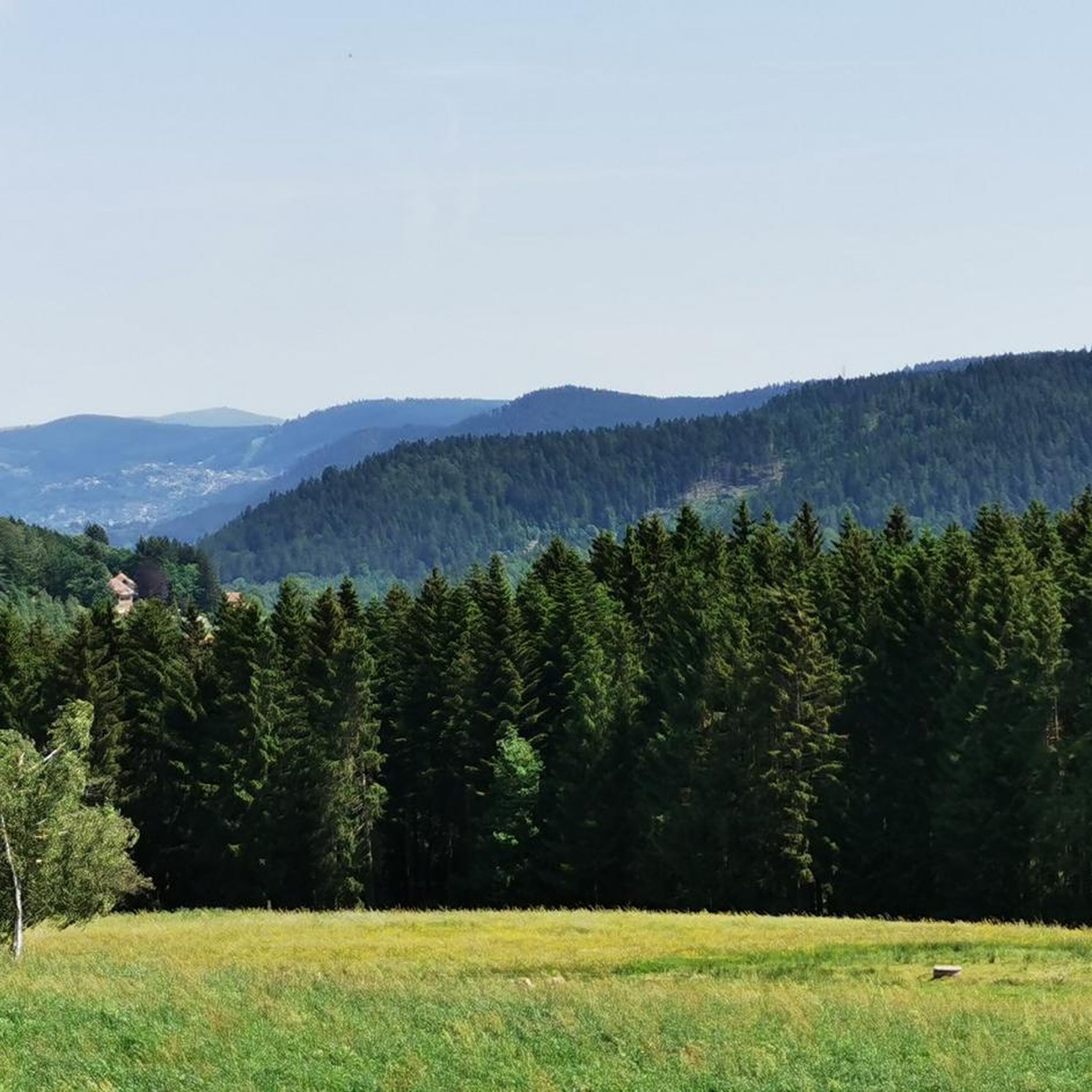
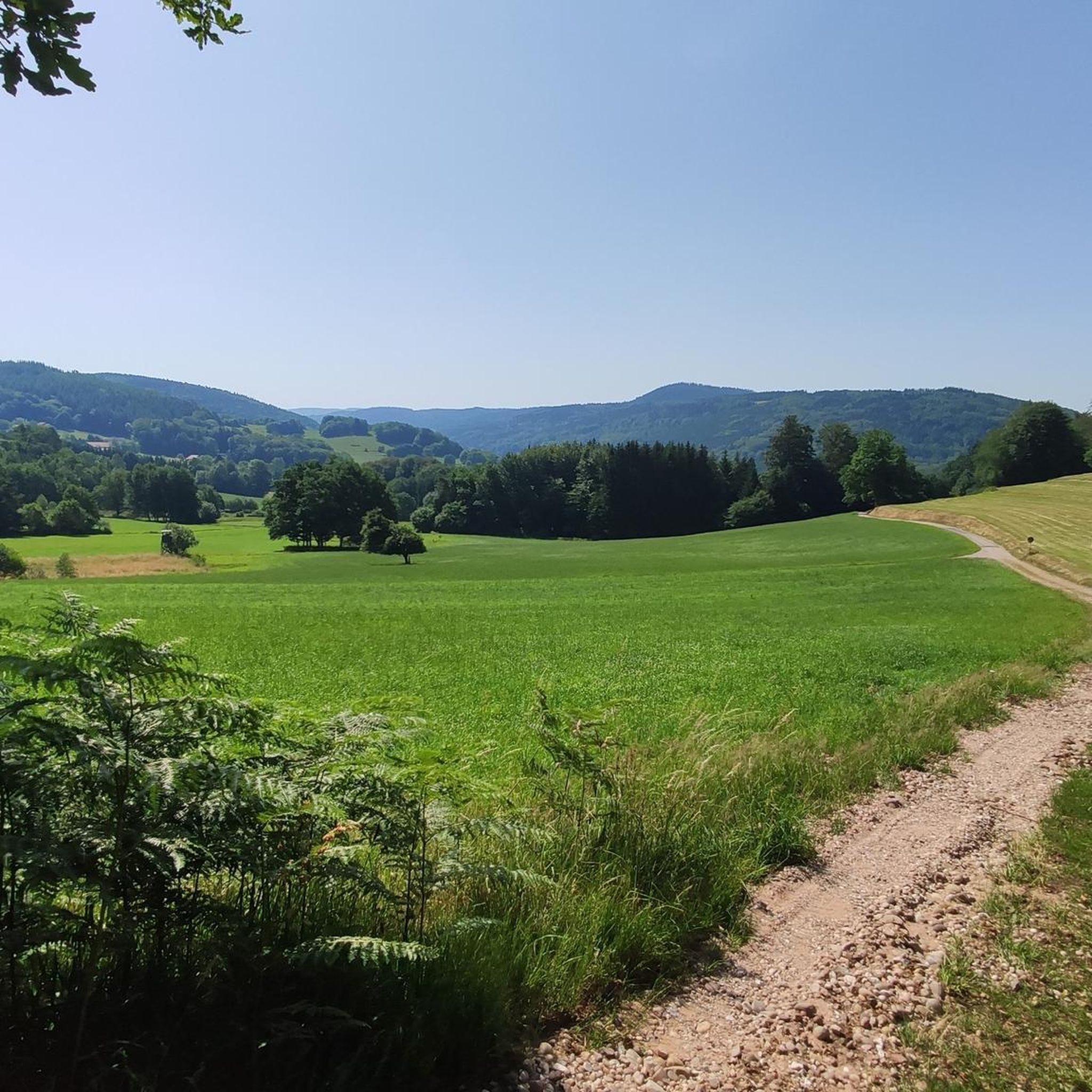
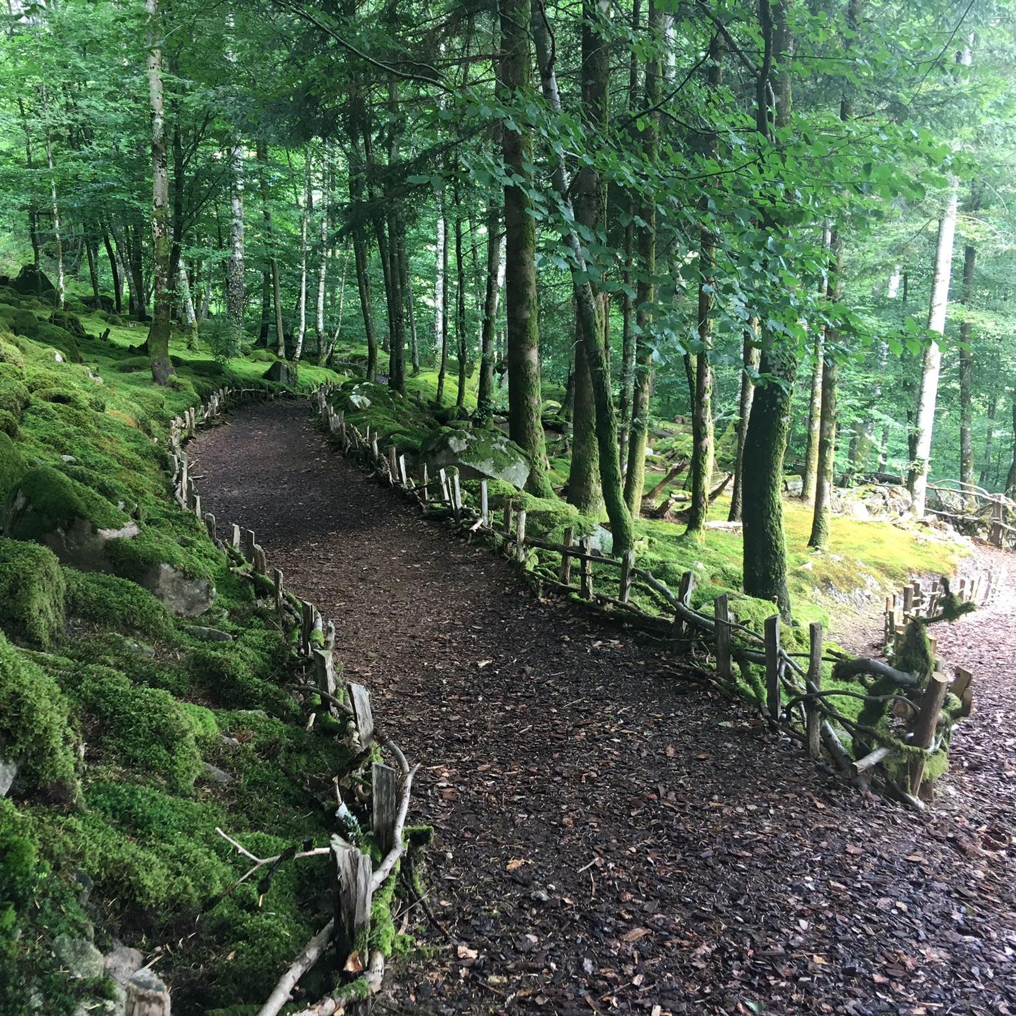
Mountain biking around Laveline-Du-Houx offers diverse terrain within the Vosges Massif, characterized by elevations ranging from 444 to 710 meters. The landscape features coniferous forests, fir plantations, meadows, and ridges, providing varied routes. This area is situated at the foot of the Ballons des Vosges Nature Park, enhancing its appeal for outdoor activities. The region's topography ensures a mix of ascents and descents suitable for different skill levels.
Best mountain bike trails around Laveline-Du-Houx
- The most popular mountain bike trail…
Last updated: July 5, 2026
4.4
(14)
41
riders
45.1km
03:56
1,050m
1,050m
Hard mountain bike ride. Very good fitness required. Advanced riding skills necessary.
6
riders
27.4km
02:07
430m
430m
Moderate mountain bike ride. Good fitness required. Suitable for all skill levels.

Sign up for free
4.3
(4)
22
riders
62.3km
04:42
1,030m
1,030m
Hard mountain bike ride. Very good fitness required. Suitable for all skill levels.
4.0
(3)
13
riders
29.0km
02:48
690m
690m
Moderate mountain bike ride. Good fitness required. Suitable for all skill levels.
4.8
(5)
20
riders
15.9km
01:17
230m
240m
Easy mountain bike ride. Great for any fitness level. Suitable for all skill levels.
Get access to more routes and recommendations from other explorers.
Sign up for free
Already have an account?
Our route recommendations are based on thousands of hikes, rides, and runs completed by other people on komoot.
Start today with a free account
Your next adventure awaits.
Login or Signup
Tips from the Community

Nice place to sit on the benches. And there is a snack bar and a (dirty) toilet building
0
0
Take your time to enjoy the view. There are few viewpoints
0
0

path with large stones
0
0

Beautiful church in the hamlet of Le Haut du Tôt. Opposite, the Café Gegout invites you to take a short break.
1
0

Yes, I confirm the path "on the other side of the road" is a little, sometimes a lot, technical. The day I did it we were coming out of about fifteen days of rain. It was almost a small stream. What a hassle that day. But even under the grayness the landscape is magnificent.
0
0

Path uphill, goes further on the other side of the road with some difficult sections. Leads to VVT/MTB track 3 and 4 around Le Valtin (not the best routes in the region, but scenery is great). Downhill is sweet :)
0
1

The beautiful chapel is located in the middle of a local recreation area with a volleyball court, kiosk and playgrounds for all ages. There are many free parking spaces and swimming areas on the lake nearby.
1
0
Steep difficult climb before slightly easier highlight 'nice path' on the other side of the main road. Popular walking path as well. To combine with VTT track 10.
0
0
Frequently Asked Questions
How many mountain bike trails are available around Laveline-Du-Houx?
There are over 85 mountain bike trails around Laveline-Du-Houx, catering to various skill levels. This includes 10 easy, 55 moderate, and 20 difficult routes, offering a wide range of experiences within the Vosges Massif.
What kind of terrain can I expect on mountain bike trails in Laveline-Du-Houx?
The terrain around Laveline-Du-Houx is diverse, featuring coniferous forests, fir plantations, meadows, and ridges. You'll encounter varied elevations, ranging from 444 to 710 meters, which means a mix of ascents and descents. Some routes, like the difficult Ant Mountain – Fays loop from Lépanges-sur-Vologne, include significant elevation gain and technical sections.
Are there any family-friendly mountain bike trails in the area?
Yes, there are several family-friendly options. For an easier ride, consider routes like the Camping Domaine de Messires loop from Prey, which is 16.1 km long and leads through pleasant forested areas, typically completed in about 1 hour 18 minutes. The region's diverse trails include 10 easy routes suitable for families.
What are some notable natural attractions or viewpoints I can see along the mountain bike trails?
The region offers several natural highlights. You can visit the beautiful Great Tendon Waterfall and the Little Waterfall of Tendon, which are particularly impressive after rain or in spring. Some trails also offer breathtaking views over the Vologne valley, such as those found on the difficult 'La D'Vall' route mentioned in the regional research, or the View of Vallée Glacière des Huites.
What is the best time of year for mountain biking in Laveline-Du-Houx?
The best time for mountain biking in Laveline-Du-Houx is generally from spring through autumn when the weather is milder and trails are clear of snow. The Tendon waterfalls are best visited after rain or in spring when water levels are higher, adding to the scenic beauty of the rides.
Are there any circular mountain bike routes available?
Yes, many of the mountain bike trails around Laveline-Du-Houx are designed as loops. For example, the popular MTB/VTT tracks from Gérardmer – Liézey loop from Champdray is a moderate 27 km circular route, and the Fays – Ant Mountain loop from Lépanges-sur-Vologne offers a moderate 27.2 km ride.
Where can I park my car when going mountain biking in Laveline-Du-Houx?
While specific parking spots for every trail are not detailed, many routes, such as the 'La Val'Seuse MTB' mentioned in regional research, start from accessible points like Messires campsite or the town hall, where parking is typically available. It's advisable to check the starting point of your chosen route for specific parking information.
What do other mountain bikers enjoy most about the trails in Laveline-Du-Houx?
The mountain biking trails around Laveline-Du-Houx are highly rated by the komoot community, with an average score of 4.37 stars from over 190 reviews. Reviewers often praise the diverse terrain, the mix of challenging ascents and descents, and the immersive experience within the dense forests and open meadows of the Vosges Massif.
Are there any cafes or pubs in Laveline-Du-Houx for mountain bikers?
Laveline-Du-Houx is a commune with local amenities. While specific cafes or pubs catering directly to mountain bikers are not detailed, you can generally find options for refreshments and accommodation within the village or nearby towns to refuel after your ride.
Can I access the mountain bike trails using public transport?
Information on direct public transport access specifically for mountain biking trails in Laveline-Du-Houx is limited. The area is nestled in the Vosges department, and while public transport connects larger towns, reaching specific trailheads might require a car or a combination of transport methods. It's best to plan your route and check local transport options in advance.
Are there any difficult mountain bike trails for experienced riders?
Yes, experienced riders will find challenging options. The 'La D'Vall' route, for instance, is classified as difficult, covering 13.2 km with an elevation gain of 358 meters and offering breathtaking views. Another difficult option is the Ant Mountain – Fays loop from Lépanges-sur-Vologne, which is 44.4 km long with significant elevation gain and technical sections.
What is the 'L'Équi'Vall' mountain bike route like?
The 'L'Équi'Vall' (MTB No. 3) is a blue-rated route that takes riders to the heights of Ménémont, passing along Laleu Hill at approximately 700 meters altitude. While generally not overly demanding, it does include some challenging sections, offering a balanced experience for intermediate riders.
Most popular routes around Laveline-Du-Houx
Most popular attractions around Laveline-Du-Houx

Get inspired with the komoot mobile app


Explore more
Browse the best MTB trails in other regions.
