The best walks and hikes around Nébouzat
4.6
(3109)
24,219
hikers
28
hikes
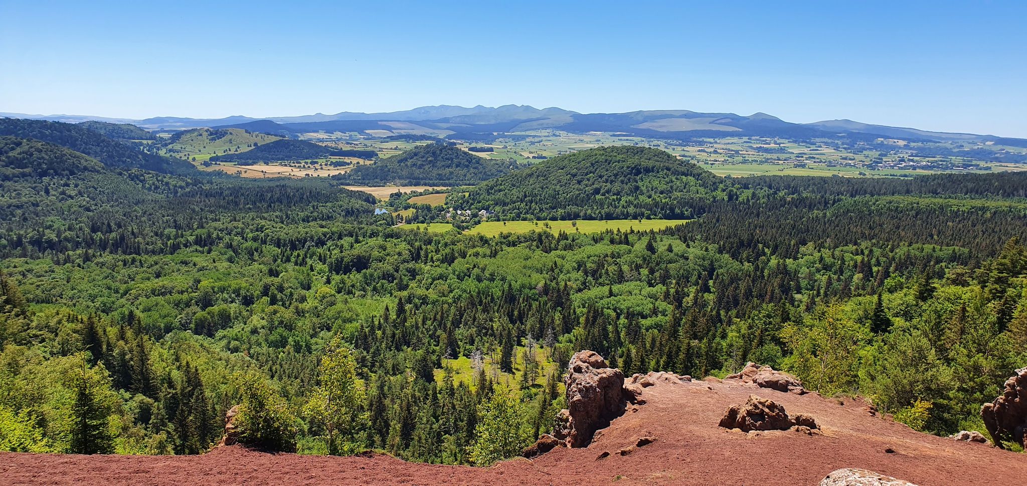
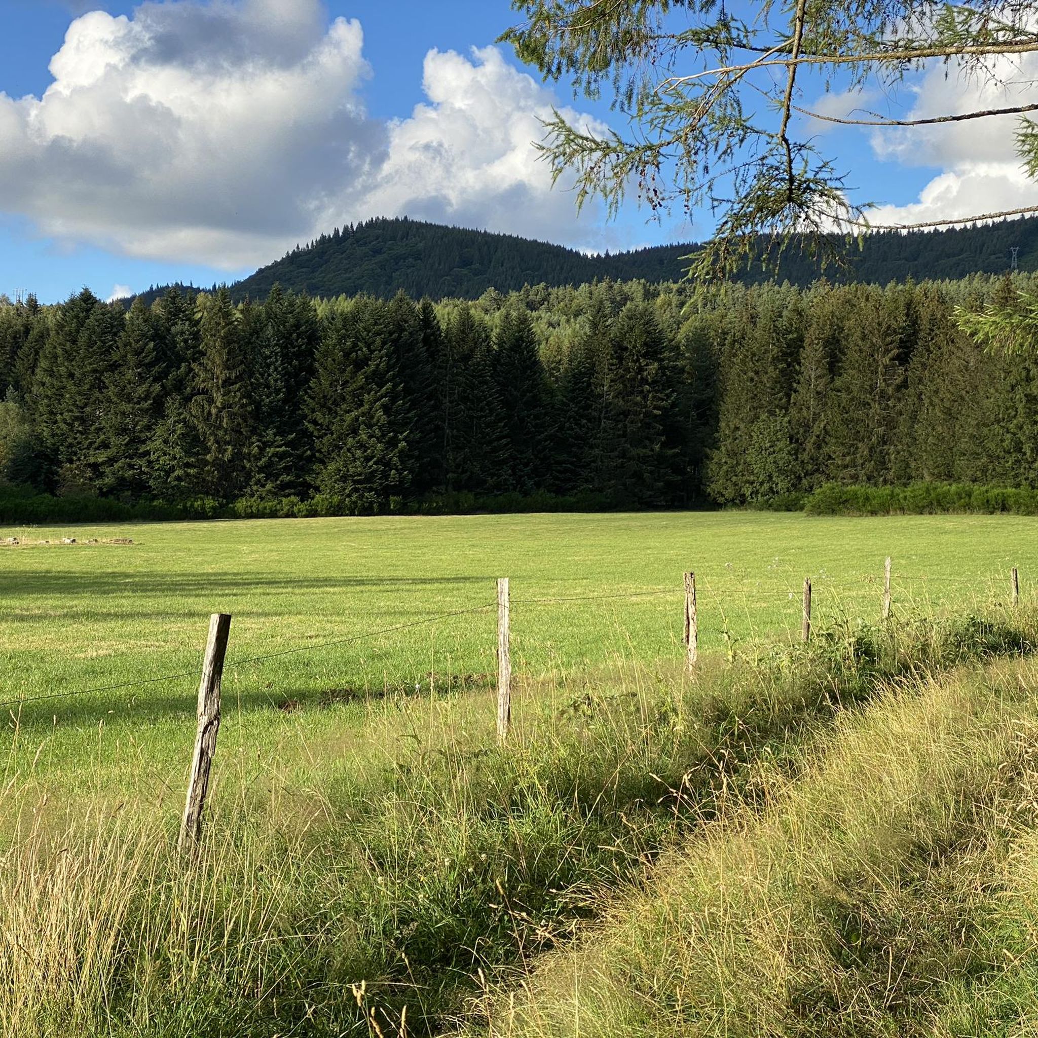
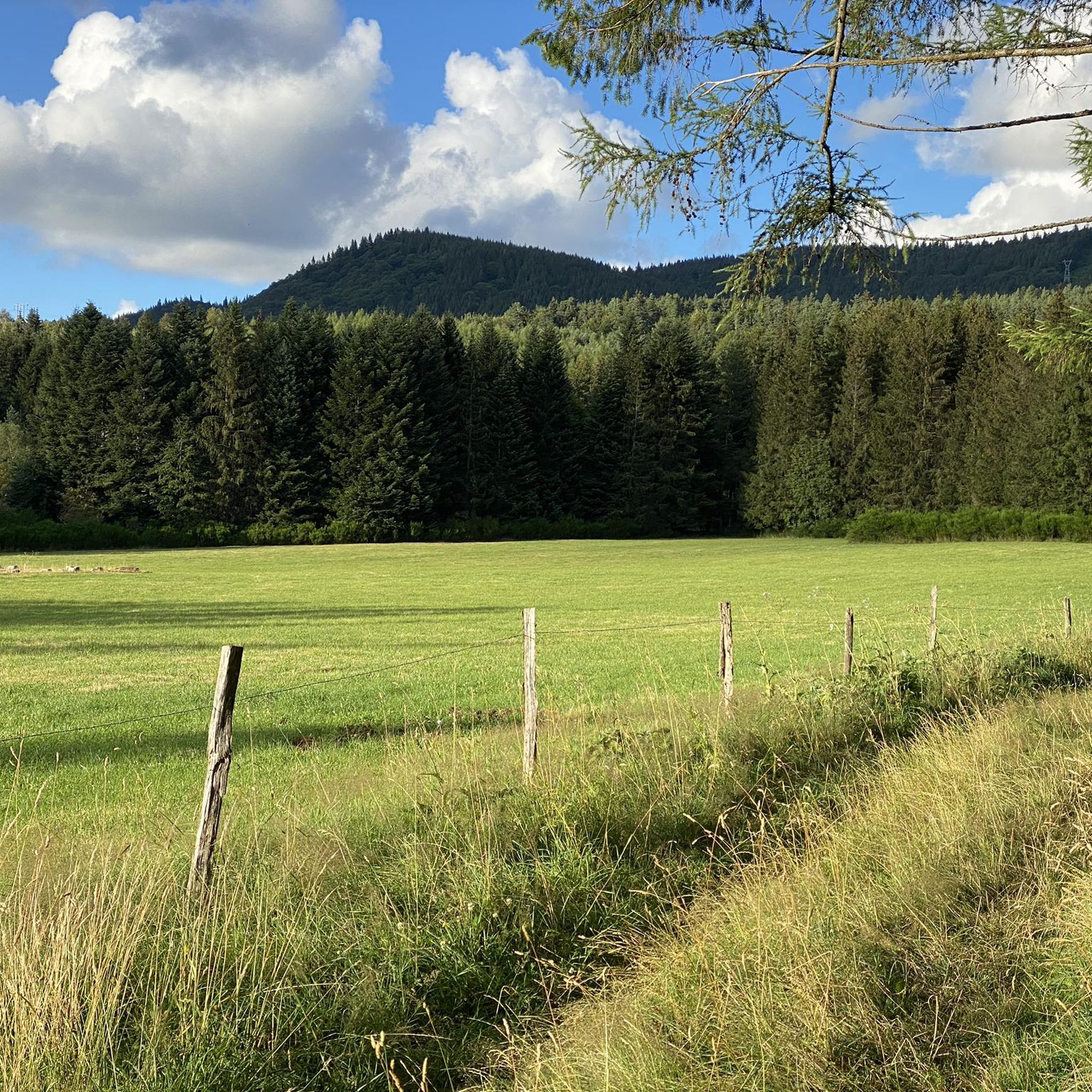
Hiking around Nébouzat offers access to diverse volcanic landscapes within the Auvergne-Rhône-Alpes region of France. The area is characterized by its unique volcanic terrain, including rounded ridges, ancient lava flows, and lush green forests, notably within the Chaîne des Puys, a UNESCO World Heritage site. Hikers can explore a landscape shaped by millennia of geological history, featuring prominent peaks like Puy de Dôme and Puy de la Vache.
Best hiking trails around Nébouzat
- The most popular hiking route is Oak…
Last updated: August 29, 2026
4.9
(16)
64
hikers
9.79km
02:41
150m
150m
Moderate hike. Good fitness required. Easily-accessible paths. Suitable for all skill levels.
4.0
(2)
32
hikers
19.1km
05:14
310m
310m
Hard hike. Very good fitness required. Easily-accessible paths. Suitable for all skill levels.

Sign up for free
3.9
(7)
23
hikers
4.05km
01:09
80m
80m
Easy hike. Great for any fitness level. Easily-accessible paths. Suitable for all skill levels.
4.6
(5)
24
hikers
10.8km
02:57
160m
160m
Moderate hike. Good fitness required. Easily-accessible paths. Suitable for all skill levels.
5.0
(3)
14
hikers
6.23km
01:48
160m
160m
Easy hike. Great for any fitness level. Easily-accessible paths. Suitable for all skill levels.
Get access to more routes and recommendations from other explorers.
Sign up for free
Already have an account?
Our route recommendations are based on thousands of hikes, rides, and runs completed by other people on komoot.
Start today with a free account
Your next adventure awaits.
Login or Signup


Other adventures around Nébouzat

Tips from the Community

It's better to go up via Ceyssat and come back down via Orcines. The climb still hurts but there's less traffic and the descent is worth it 😉
0
0

Super nice tour!
0
0

Anyone staying at the 'Les Domes' campsite should definitely take a detour to this small waterfall. It's not particularly spectacular, but it's still very beautiful to look at. Even if you're cycling past, you should stop and take the short detour.
0
0

Beautiful trail which winds between several puys including Pourcharet and Montjuger which peak at 1,164 and 1,142 meters above sea level respectively.
0
0

Possibility of having a drink and/or something to eat just opposite the pass sign
0
0


Perfect for a picnic by the water
0
0

Error or ignorance: there is no panoramic cable car to reach the summit of the Puy de Dôme. There is only a panoramic cogwheel train that leaves from the bottom of the volcano. The journey offers the possibility of seeing superb points of view. Other information: the road bordering the train track is a service road. It is prohibited for cars and bicycles. From time to time, thanks to sporting events, it is exceptionally open to cyclists. This road will be taken in July 2023 by the riders of the Tour de France in the final of one of the stages run in Auvergne.
0
0
Frequently Asked Questions
How many hiking trails are available around Nébouzat?
Nébouzat offers a diverse network of over 25 hiking trails, catering to various skill levels. These routes explore the unique volcanic landscapes of the Auvergne-Rhône-Alpes region, including ancient lava flows and lush forests.
What are the typical difficulty levels for hikes in Nébouzat?
The trails around Nébouzat range from easy strolls to more challenging ascents. You'll find approximately 9 easy routes, 12 moderate paths, and 5 difficult trails, ensuring options for all experience levels.
Are there any circular hiking routes in Nébouzat?
Yes, many of the hiking routes around Nébouzat are designed as loops, allowing you to start and finish at the same point. For example, the Puy de Montjuger loop from Nébouzat is an easy 3.9-mile (6.2 km) trail that takes you through volcanic terrain.
What natural landmarks or viewpoints can I expect to see on a hike?
The region is rich in volcanic features and offers stunning panoramic views. You can explore prominent peaks like the Puy de Dôme Summit, the highest point in the Monts Dôme area, or the Puy Pariou summit and crater. The Puy de la Vache also provides excellent views of the Chaîne des Puys.
Are there any hikes featuring waterfalls near Nébouzat?
Yes, you can discover beautiful natural features like the Saliens Waterfall. A popular moderate route is the Saliens Waterfall – Stone Bridge over the Sioule River loop from Nébouzat, which is 7.6 miles (12.2 km) long and follows the Sioule River.
What do other hikers say about the trails in Nébouzat?
The hiking trails in Nébouzat are highly regarded by the komoot community, with an average rating of 4.6 stars from over 2,600 reviews. Hikers often praise the diverse volcanic landscapes, well-maintained paths, and the exceptional views of the Chaîne des Puys.
Are there any historical sites or ancient ruins accessible via hiking trails?
Yes, the region has historical significance. At the summit of Puy de Dôme, you can find the remains of the Temple of Mercury, one of the largest mountain sanctuaries in Roman Gaul. This adds a cultural dimension to the natural beauty of the hikes.
What is the best time of year to go hiking in Nébouzat?
The spring, summer, and autumn months generally offer the most pleasant conditions for hiking in Nébouzat, with lush greenery and comfortable temperatures. While winter hiking is possible, some trails might be affected by snow or ice, especially at higher elevations.
Are there family-friendly hiking options around Nébouzat?
Yes, Nébouzat offers several easier routes suitable for families. These trails often feature less elevation gain and shorter distances, allowing for an enjoyable outdoor experience for all ages. An example is the Saliens Waterfall – Camping loop from Nébouzat, an easy 2.5-mile (4 km) route.
Can I bring my dog on the hiking trails in Nébouzat?
Most hiking trails in the Nébouzat area are generally dog-friendly, but it's always recommended to keep your dog on a leash, especially in areas with livestock or protected wildlife. Please ensure you respect local regulations and clean up after your pet.
What is the longest challenging hike available in the area?
For experienced hikers seeking a challenge, the Oak forests on Puy Lacroix – Tour of the Puy de Dôme loop from Laschamps is a difficult 15.9-mile (25.5 km) trail. This route explores extensive oak forests and provides expansive views of the Puy de Dôme, typically taking over 7 hours to complete.
Are there any multi-day hiking opportunities in the Nébouzat region?
While individual routes around Nébouzat are typically day hikes, the region is part of the larger Chaîne des Puys, which hosts the GR441, also known as the Tour de la Chaîne des Puys. This emblematic long-distance trail spans 114 km and can be completed over 5 to 6 days, offering a comprehensive exploration of the volcanic landscape.
Most popular routes around Nébouzat
Most popular attractions around Nébouzat

Get inspired with the komoot mobile app


Explore more
Browse the best Hikes in other regions.
