The best walks and hikes around Le Cendre
4.5
(991)
7,471
hikers
418
hikes
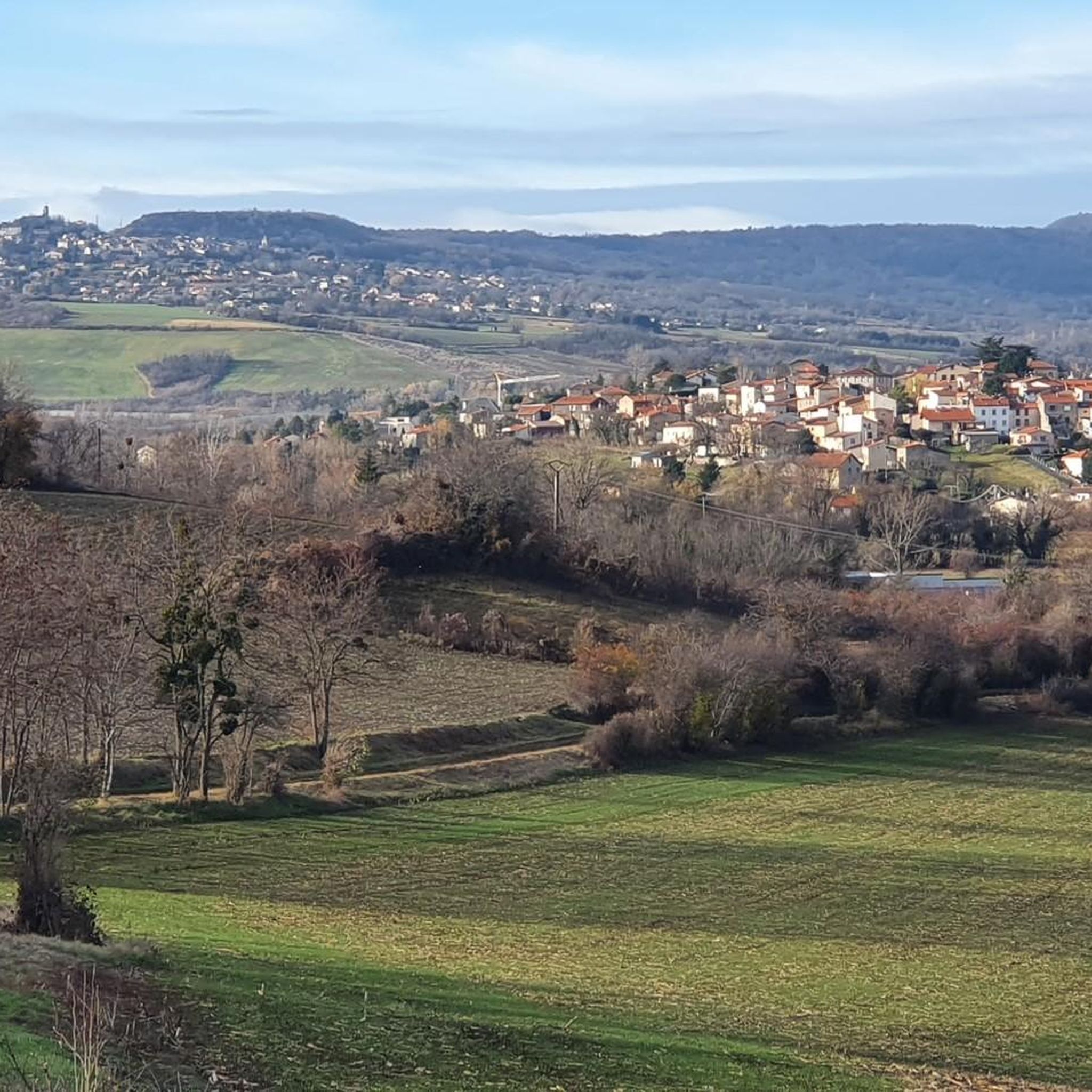
Hiking around Le Cendre offers diverse terrain, characterized by its proximity to the volcanic Chaîne des Puys and the tranquil Auzon and Allier river valleys. The region features a mix of dormant volcanoes, such as the Puy de Dôme, and preserved natural areas like the Coulée Verte. Trails often traverse wooded areas, open landscapes, and provide views of the surrounding Auvergne region. The varied topography includes gentle riverside paths and ascents to hills, catering to different hiking preferences.
Best hiking…
Last updated: July 3, 2026
4.7
(22)
145
hikers
9.51km
02:28
50m
50m
Moderate hike. Good fitness required. Easily-accessible paths. Suitable for all skill levels.
4.5
(15)
100
hikers
8.68km
02:14
40m
40m
Moderate hike. Good fitness required. Easily-accessible paths. Suitable for all skill levels.

Sign up for free
4.6
(16)
102
hikers
3.67km
00:56
10m
10m
Easy hike. Great for any fitness level. Easily-accessible paths. Suitable for all skill levels.
3.5
(2)
32
hikers
9.52km
02:29
70m
70m
Moderate hike. Good fitness required. Easily-accessible paths. Suitable for all skill levels.
5.0
(1)
27
hikers
11.6km
03:09
170m
170m
Moderate hike. Good fitness required. Easily-accessible paths. Suitable for all skill levels.
Get access to more routes and recommendations from other explorers.
Sign up for free
Already have an account?
Our route recommendations are based on thousands of hikes, rides, and runs completed by other people on komoot.
Start today with a free account
Your next adventure awaits.
Login or Signup

Tips from the Community


this "fruit" attracts walkers because it is not "common". quite large, the size of an orange, it is green and has a particular surface. it is not a fruit, but an infructescence, ie a set of fruits.
0
0

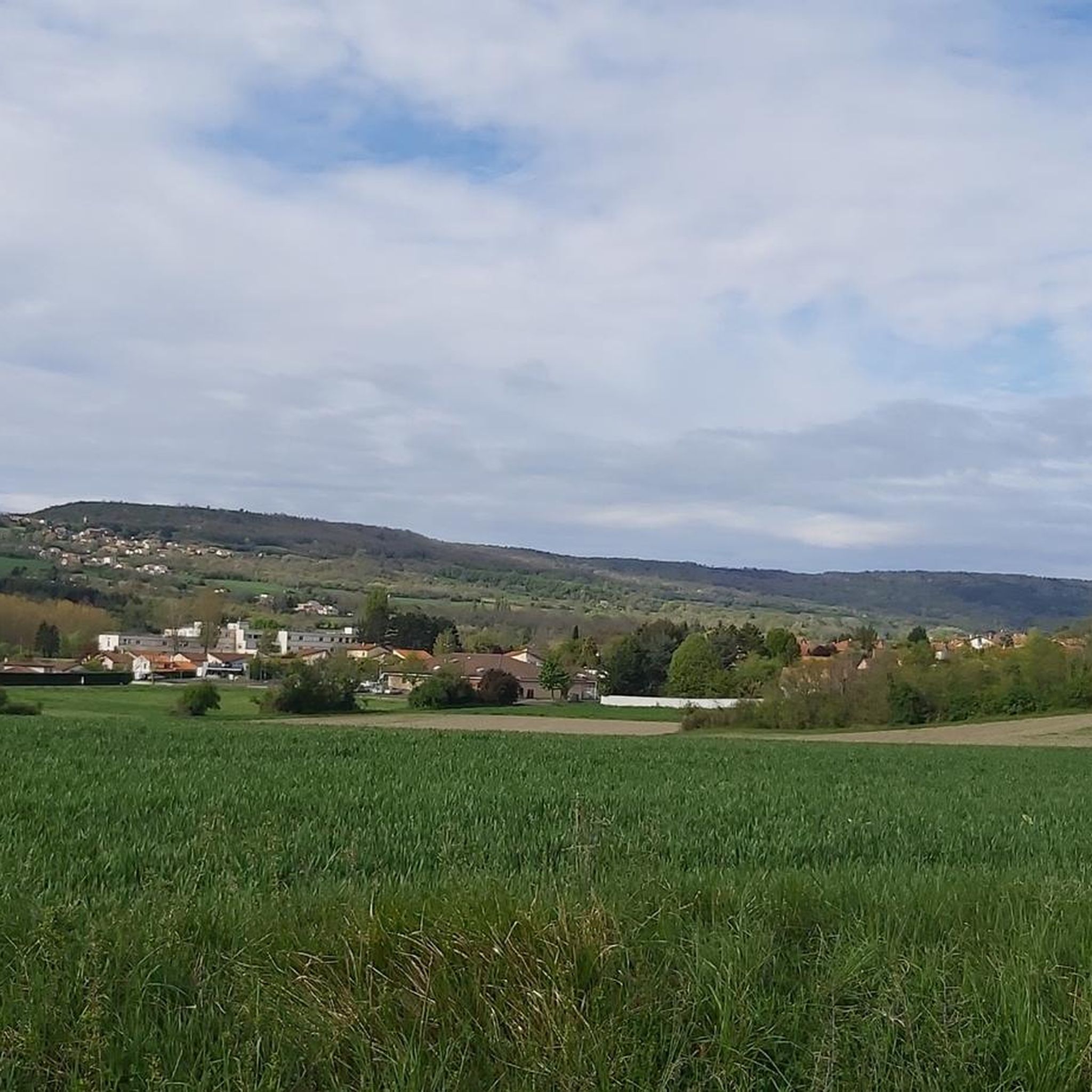
The green corridor on the south bank of the Auzon between Cendre and Cournon allows you to escape from the city.
0
0
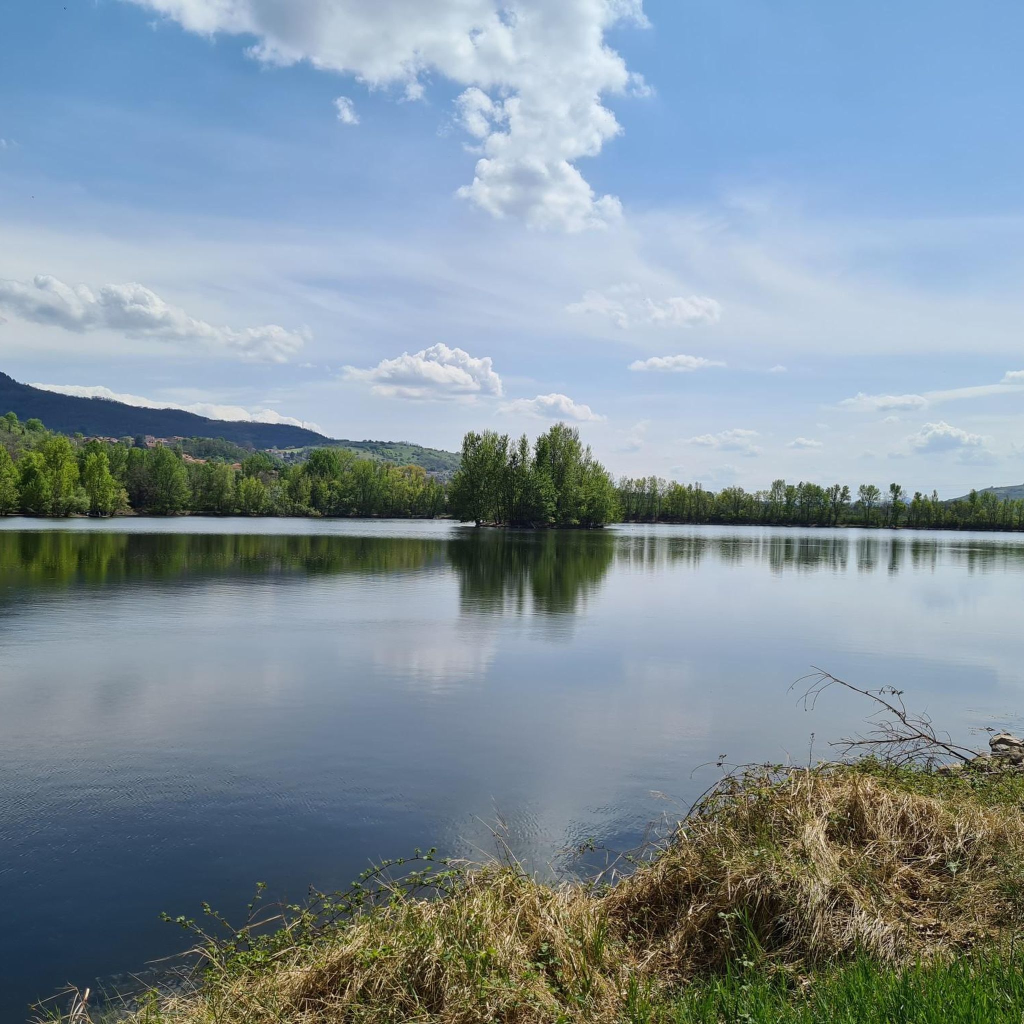
The Via Allier greenway and the landscaped lake of Cournon allow you to cut off from the nearby town.
0
0

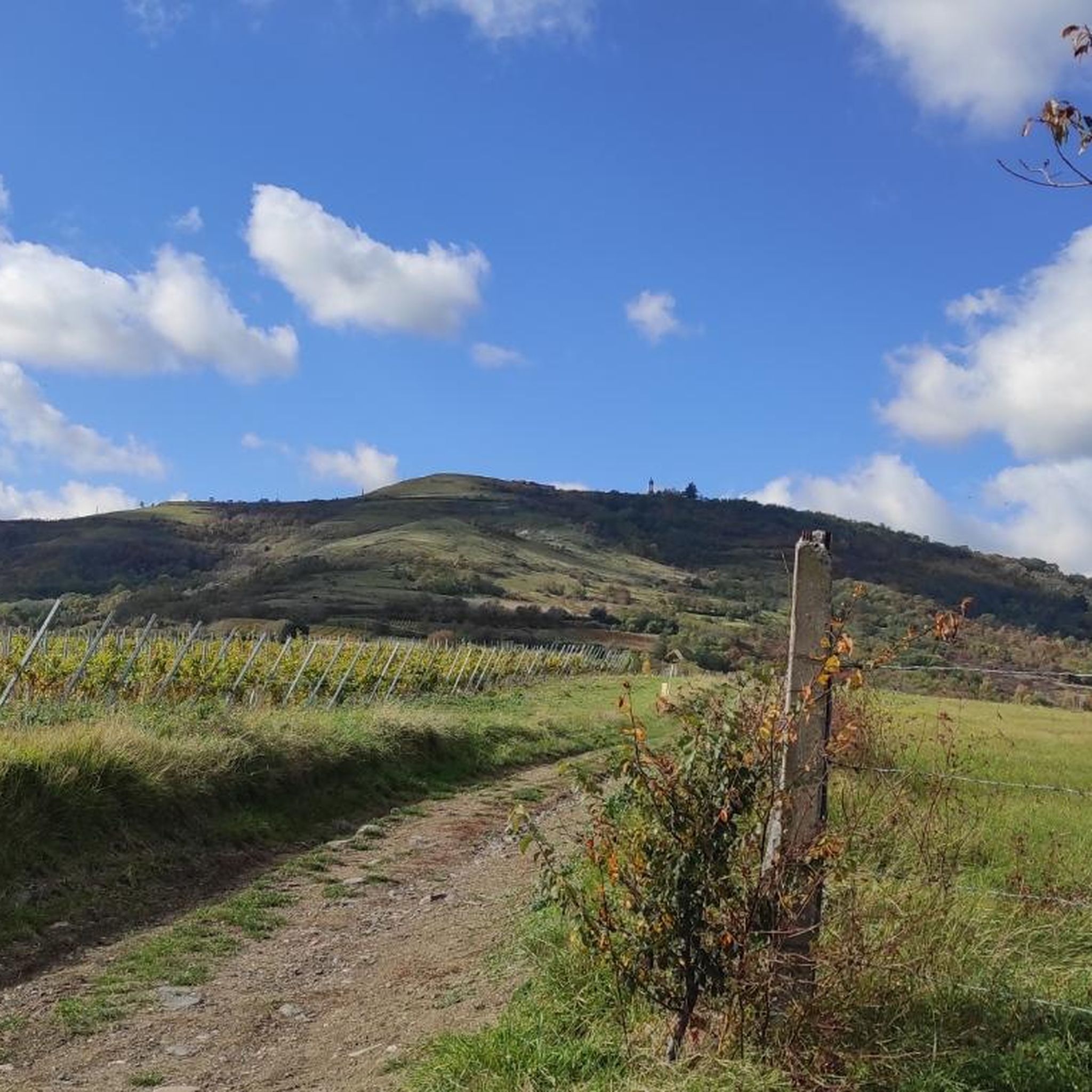
Easy hike that goes up a bit, very nice view.
0
0
Frequently Asked Questions
How many hiking trails are available around Le Cendre?
There are over 400 hiking trails around Le Cendre, offering a wide variety of options. These include more than 180 easy routes, over 210 moderate trails, and a selection of more challenging paths for experienced hikers.
What kind of terrain can I expect on hikes near Le Cendre?
Hikes near Le Cendre feature diverse terrain, ranging from tranquil river valleys along the Auzon and Allier rivers to the dramatic volcanic landscapes of the Chaîne des Puys. You'll find paths through wooded areas, open fields, and ascents to hills offering panoramic views. The region is known for its mix of dormant volcanoes and preserved natural areas like the Coulée Verte.
Are there easy hiking trails suitable for beginners or families in Le Cendre?
Yes, Le Cendre offers many easy and family-friendly hiking options. For a pleasant and accessible walk, consider the Étang Sous-le-Torre loop from Clermont-Ferrand, which is an easy 2.3-mile (3.7 km) path around the lake. The Coulée Verte also provides a gentle promenade suitable for all ages.
Can I bring my dog on hikes around Le Cendre?
Generally, dogs are welcome on many hiking trails around Le Cendre, especially on paths through natural areas and riverbanks. However, it's always advisable to keep them on a leash, particularly in protected areas or near livestock, and to check local regulations for specific trails or nature reserves.
Are there any circular hiking routes in Le Cendre?
Yes, many of the hiking routes around Le Cendre are circular, allowing you to start and end at the same point. An example of a moderate circular route is the Arbre tombe loop from Clermont-Ferrand, which is 5.4 miles (8.7 km) long and takes you through varied natural scenery.
What are some notable natural features or viewpoints to look out for?
The region is rich in natural features. You can explore the volcanic landscapes of the Chaîne des Puys, including the famous Puy de Dôme and Puy Pariou. The Auzon River and the Coulée Verte offer pleasant riverside scenery. For elevated views, trails around the Puy de Marmant provide lovely walks with vistas of the surrounding landscape.
Are there any historical or cultural landmarks I can visit while hiking?
Yes, some trails combine natural exploration with cultural discovery. For instance, routes around the Plateau de Corent offer insights into an archaeological site. Additionally, you can find historical attractions nearby, such as the View of Busseol castle or the impressive Cathedral of Our Lady of the Assumption in Clermont-Ferrand.
What do other hikers enjoy the most about hiking in Le Cendre?
The hiking experience in Le Cendre is highly rated by the komoot community, with an average score of 4.5 stars from over 900 reviews. Hikers often praise the varied terrain, the beautiful volcanic landscapes, and the tranquil river valleys. The well-maintained trails and options for different ability levels are also frequently highlighted.
Are there any longer or more challenging hikes for experienced hikers?
While many trails are easy to moderate, more challenging options exist, especially when venturing towards the volcanic peaks of the Chaîne des Puys. For a moderate hike with more elevation, consider the Orcet Cross-Country Circuit loop from Le Cendre, which covers 7.2 miles (11.6 km) and features more significant ascents.
What is the best time of year to go hiking in Le Cendre?
The best time for hiking in Le Cendre is generally from spring through autumn (April to October) when the weather is mild and the landscapes are vibrant. Summer offers warm conditions, while spring and autumn provide pleasant temperatures and beautiful seasonal colors. Winter hiking is possible but may require appropriate gear, especially at higher elevations.
Are there any trails that follow the Coulée Verte?
Yes, the Coulée Verte (Green Corridor) is a prominent feature along the Auzon River, offering a pleasant promenade. You can find routes that incorporate this green space, which is enhanced with wooded areas, lawns, and picnic spots. The Coulée verte – Oppidum de Gondole loop from Clermont-Ferrand is one such moderate route that includes this area.
Most popular routes around Le Cendre
Most popular attractions around Le Cendre

Get inspired with the komoot mobile app


Explore more
Browse the best Hikes in other regions.
