The best running trails around Saint-Bonnet-Lès-Allier
4.5
(149)
6,880
runners
451
runs
Jogging around Saint-Bonnet-Lès-Allier, located in the Puy-de-Dôme department, offers diverse landscapes for outdoor activity. The region is characterized by the Allier River, providing riverside paths, sandy islands, and forested areas. Elevated viewpoints from hills like Puy de Mur and Puy Saint-Romain offer panoramic perspectives of the Allier valley and the surrounding volcanic landscapes. These varied terrains ensure a range of running experiences.
Best jogging routes around Saint-Bonnet-Lès-Allier
- The most popular jogging route is The Cournon-Mezel footbridge – Water level loop…
Last updated: June 29, 2026
5.0
(1)
184
runners
Moderate run. Good fitness required. Mostly paved surfaces. Suitable for all skill levels.
44
runners
13.4km
01:48
480m
480m
Hard run. Very good fitness required. Mostly paved surfaces. Suitable for all skill levels.

Sign up for free
14
runners
11.4km
01:22
200m
200m
Moderate run. Good fitness required. Mostly paved surfaces. Suitable for all skill levels.
5.0
(1)
7
runners
13.2km
01:34
160m
160m
Moderate run. Good fitness required. Mostly paved surfaces. Suitable for all skill levels.
8
runners
12.4km
01:42
410m
410m
Hard run. Very good fitness required. Mostly paved surfaces. Suitable for all skill levels.
Get access to more routes and recommendations from other explorers.
Sign up for free
Already have an account?
Our route recommendations are based on thousands of hikes, rides, and runs completed by other people on komoot.
Start today with a free account
Your next adventure awaits.
Login or Signup
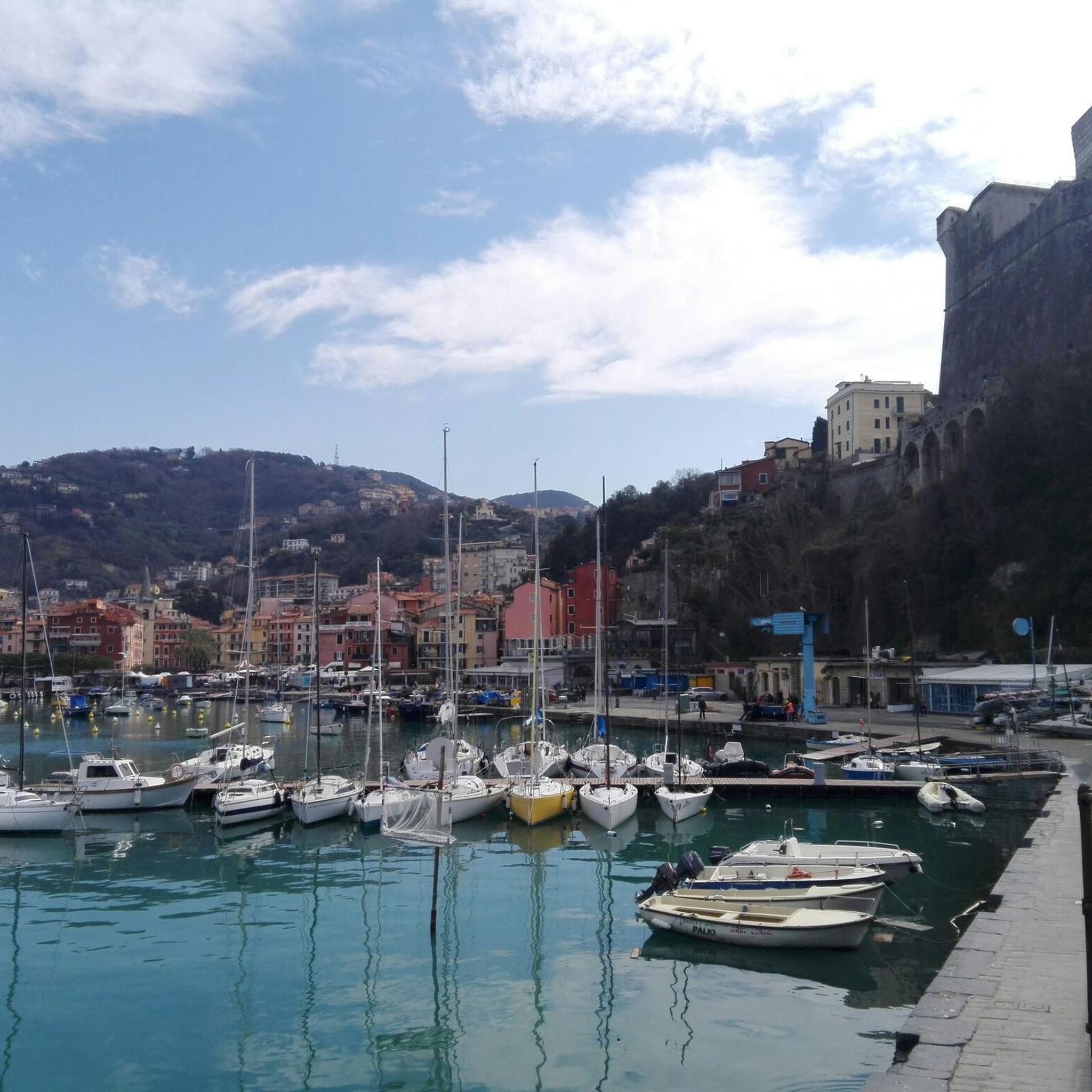
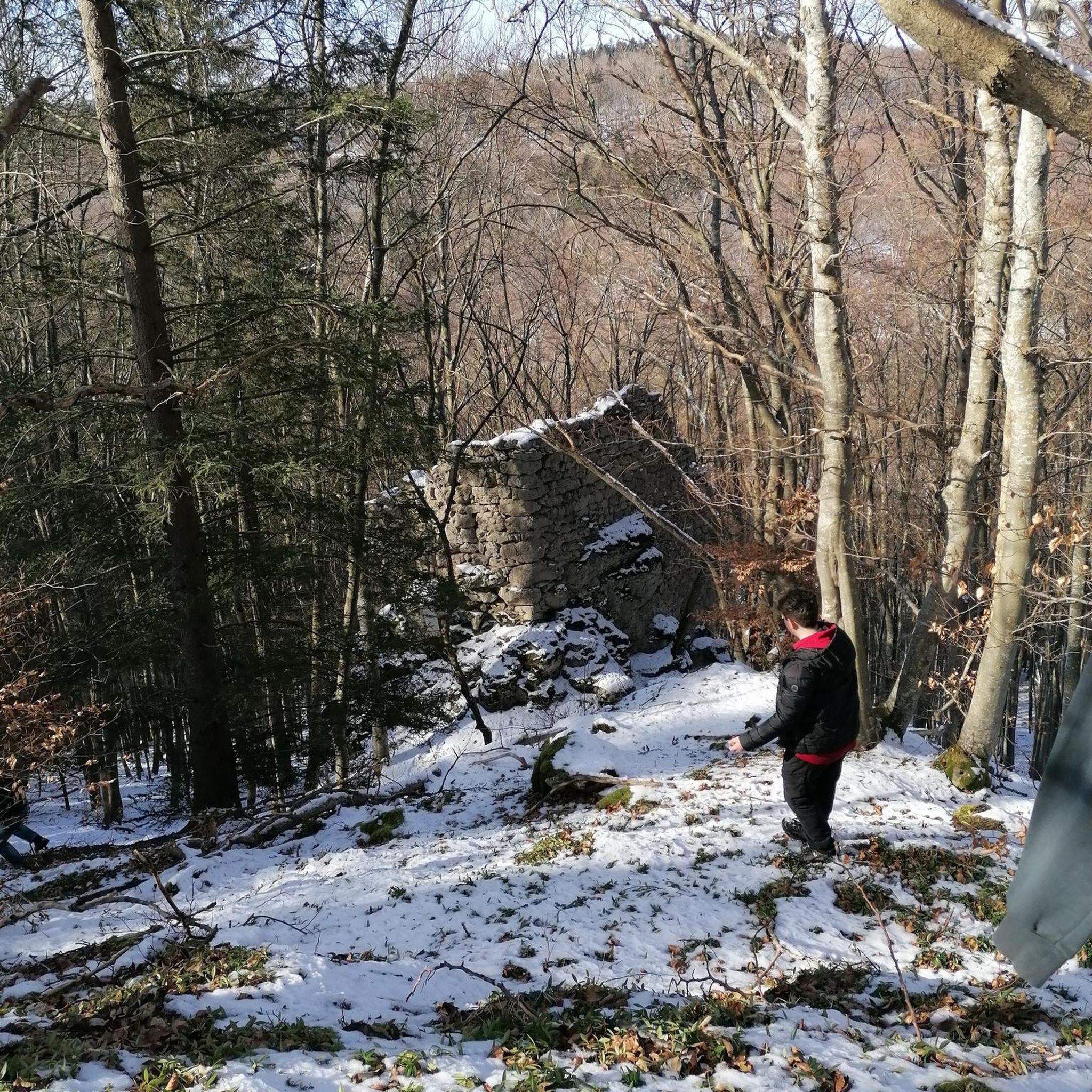
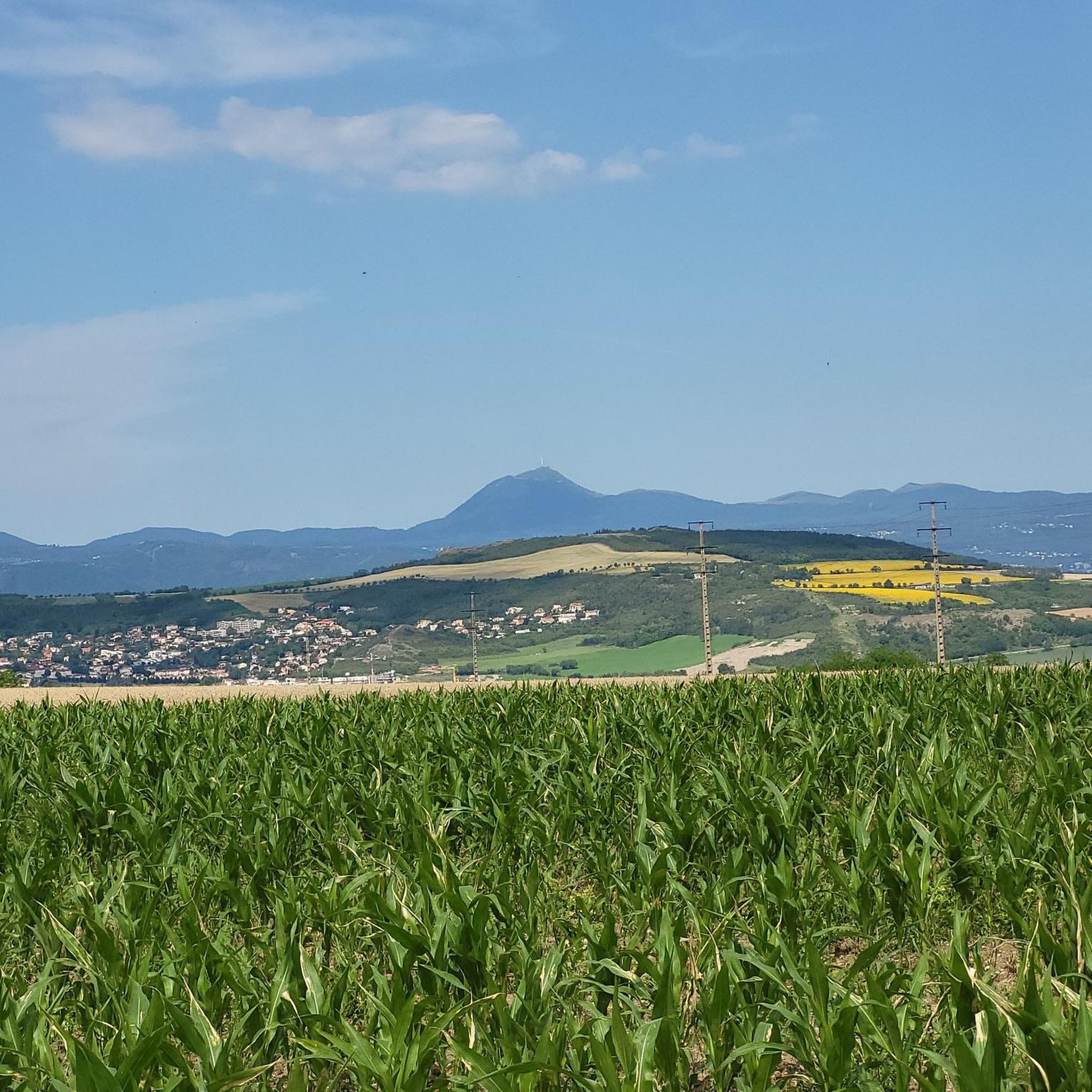

Tips from the Community

Steep climb with a great all-round view
1
0

this footbridge allows you to extend your walk on both sides of the Allier. No cars, flat paths.
0
0
Frequently Asked Questions
How many running routes are available in the Saint-Bonnet-Lès-Allier area?
The Saint-Bonnet-Lès-Allier region offers a wide selection of running routes, with over 440 options available. This includes a diverse range of trails suitable for various preferences and fitness levels.
What do other runners say about the trails around Saint-Bonnet-Lès-Allier?
The running routes in Saint-Bonnet-Lès-Allier are highly regarded by the komoot community, boasting an average rating of 4.4 stars from over 130 reviews. More than 8,500 runners have explored the varied terrain, often praising the scenic riverside paths and panoramic viewpoints.
Are there running routes for different fitness levels?
Yes, the area caters to all abilities. You'll find a good mix of easy, moderate, and difficult running paths. There are 34 easy routes for a relaxed jog, over 310 moderate trails for a good workout, and 95 challenging routes for experienced runners seeking elevation and longer distances.
Are there any circular running routes in Saint-Bonnet-Lès-Allier?
Many of the running routes in the region are circular, allowing you to start and finish at the same point. For example, the The Cournon-Mezel footbridge – Water level loop from Mezel offers a scenic 10.5-mile (16.8 km) loop along the river, while the Col de Jallat – Château de Saint-Bonnet loop from Mur-sur-Allier provides a 7.1-mile (11.4 km) circular run past historical sights.
What kind of natural landscapes can I expect to see while running?
The region is defined by the picturesque Allier River, offering routes along its banks with sandy islands, verdant meadows, and peaceful forested areas. For those seeking elevation, trails ascend to viewpoints like the Puy de Mur and Puy Saint-Romain, providing stunning panoramic views of the Allier valley and the surrounding volcanic landscapes of the Auvergne region.
Are there any historical or cultural sights along the running routes?
Absolutely. The area blends natural beauty with historical charm. You can run past the 14th-century Château de Saint-Bonnet-lès-Allier or explore charming nearby villages like Montpeyroux and Saint-Saturnin. Other notable landmarks include the View of Busseol castle and the Medieval Center of Billom, which can be incorporated into your running excursions.
Are there running routes with panoramic views?
Yes, for breathtaking vistas, consider routes that ascend the local hills. The View of the Allier – View from Puy de Mur loop from Mur-sur-Allier is a challenging path offering expansive views over the Allier valley from the Puy de Mur. Similarly, the Puy Saint-Romain provides panoramic perspectives of the Val d'Allier and the region's volcanic formations.
Are there dog-friendly running trails near Saint-Bonnet-Lès-Allier?
Many of the natural paths and riverside trails in the Saint-Bonnet-Lès-Allier area are suitable for running with dogs, provided they are kept under control. The varied terrain, from open meadows to forested sections along the Allier River, offers plenty of space for you and your canine companion to enjoy. Always check local regulations regarding leash requirements.
Can I find family-friendly jogging paths in the region?
Yes, the region offers several family-friendly running options. The semi-urban paths along the Allier and Auzon rivers, such as those found on the 'L'Auzon et l'Allier' trail, are generally flat and accommodating for both pedestrians and cyclists, making them ideal for a relaxed family jog. These routes often feature gentle terrain and pleasant scenery.
Are there parking facilities available near the trailheads?
Parking is generally available in or near the villages that serve as starting points for many routes, such as Mur-sur-Allier or Mezel. For specific routes, it's advisable to check the route details on komoot, as many tours include information about nearby parking options to help you plan your run.
What are some easy running options for beginners?
Beginners will find several easy routes, particularly those following the Allier River. These riverside paths are often flat and well-maintained, providing a gentle introduction to running in the area. Look for routes described as 'easy' or those with minimal elevation gain for a comfortable experience.
Are there any longer running routes for endurance training?
For those looking for longer distances, the region offers several options. The The Cournon-Mezel footbridge – Water level loop from Mezel is a substantial 10.5-mile (16.8 km) route. Additionally, the proximity to regional natural parks like Livradois-Forez, while slightly further afield, provides extensive opportunities for longer runs and exploration.
Most popular routes around Saint-Bonnet-Lès-Allier
Most popular attractions around Saint-Bonnet-Lès-Allier

Get inspired with the komoot mobile app


Explore more
Browse the best Running Trails & Routes in other regions.
