The best running trails around Saint-Pierre-Roche
4.6
(55)
3,330
runners
70
runs
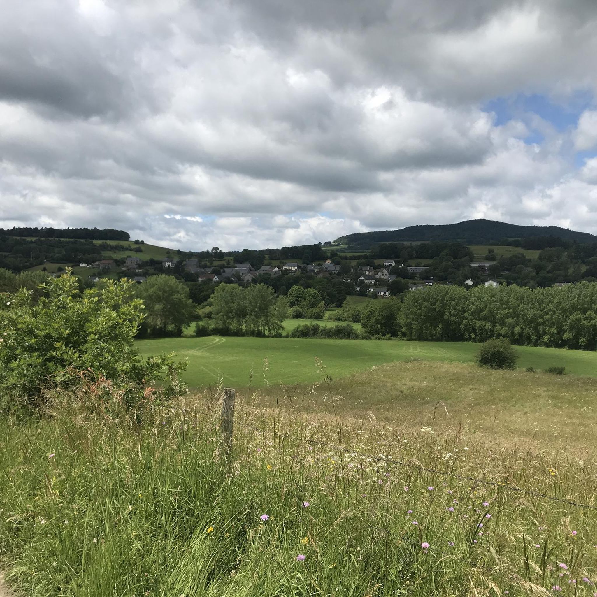
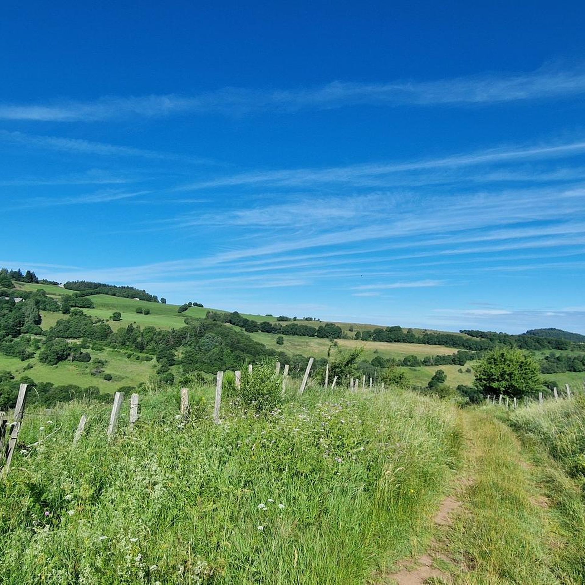
Jogging around Saint-Pierre-Roche offers access to a diverse volcanic landscape within the Parc Naturel Régional des Volcans d'Auvergne. The region features the Chain of Puys, a UNESCO World Heritage site with numerous inactive volcanoes, including the iconic Puy de Dôme and Puy de la Vache. Running routes here traverse varied terrain, including hills, forests, and grassy paths, providing a range of surfaces and inclines. This area is characterized by its unique geological formations and extensive vistas of ancient volcanic peaks.
…Last updated: July 1, 2026
5.0
(2)
102
runners
16.2km
01:59
420m
420m
Hard run. Very good fitness required. Mostly paved surfaces. Suitable for all skill levels.
57
runners
11.8km
01:20
220m
220m
Moderate run. Good fitness required. Mostly paved surfaces. Suitable for all skill levels.

Sign up for free
5.0
(1)
23
runners
51.2km
06:37
1,610m
1,610m
Hard run. Very good fitness required. Sure-footedness, sturdy shoes and alpine experience required.
6
runners
8.28km
00:56
140m
150m
Moderate run. Good fitness required. Mostly paved surfaces. Suitable for all skill levels.
7
runners
7.67km
00:54
160m
160m
Moderate run. Good fitness required. Mostly paved surfaces. Suitable for all skill levels.
Get access to more routes and recommendations from other explorers.
Sign up for free
Already have an account?
Our route recommendations are based on thousands of hikes, rides, and runs completed by other people on komoot.
Start today with a free account
Your next adventure awaits.
Login or Signup

Tips from the Community

view of the Puy de Dôme when it is not in the clouds
0
0


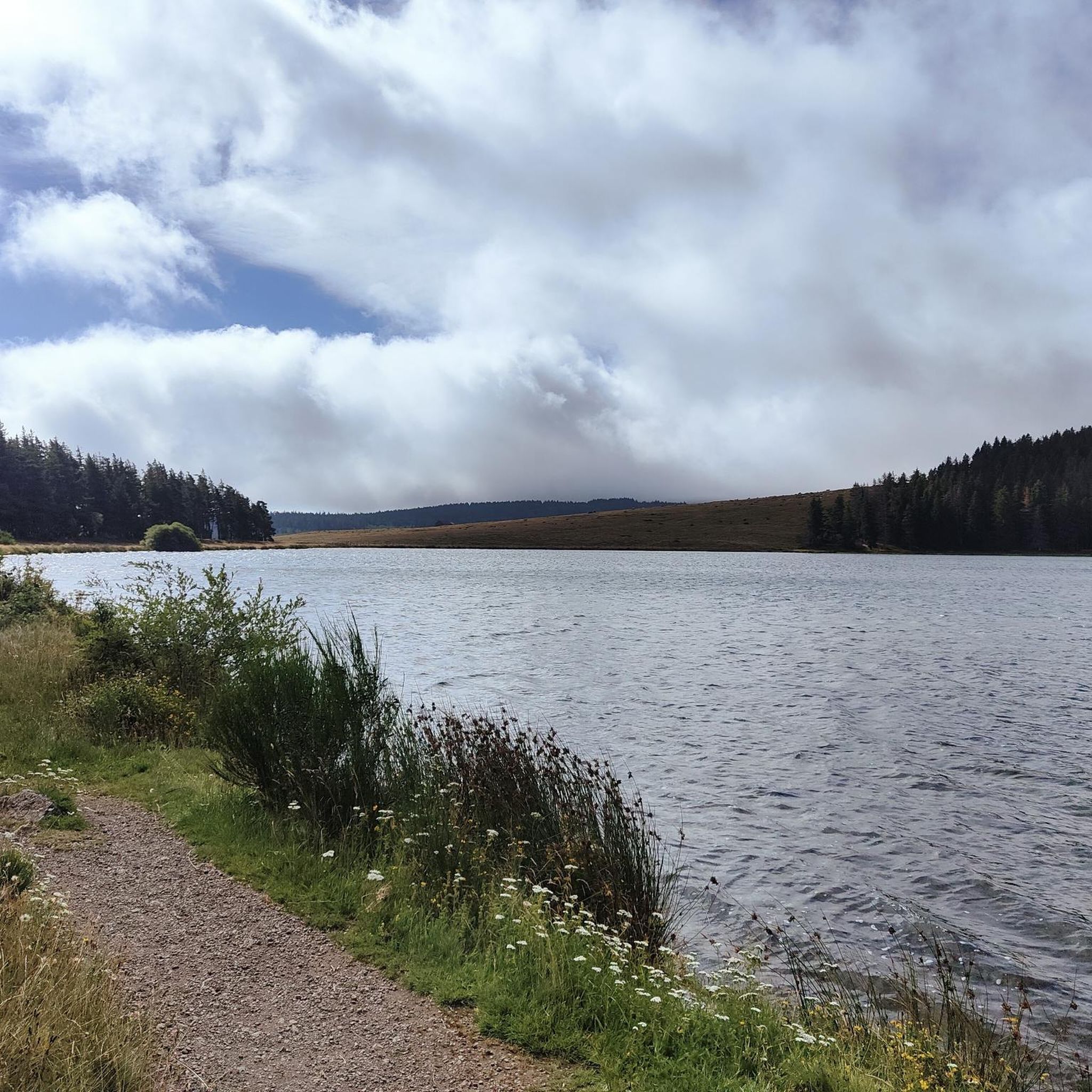
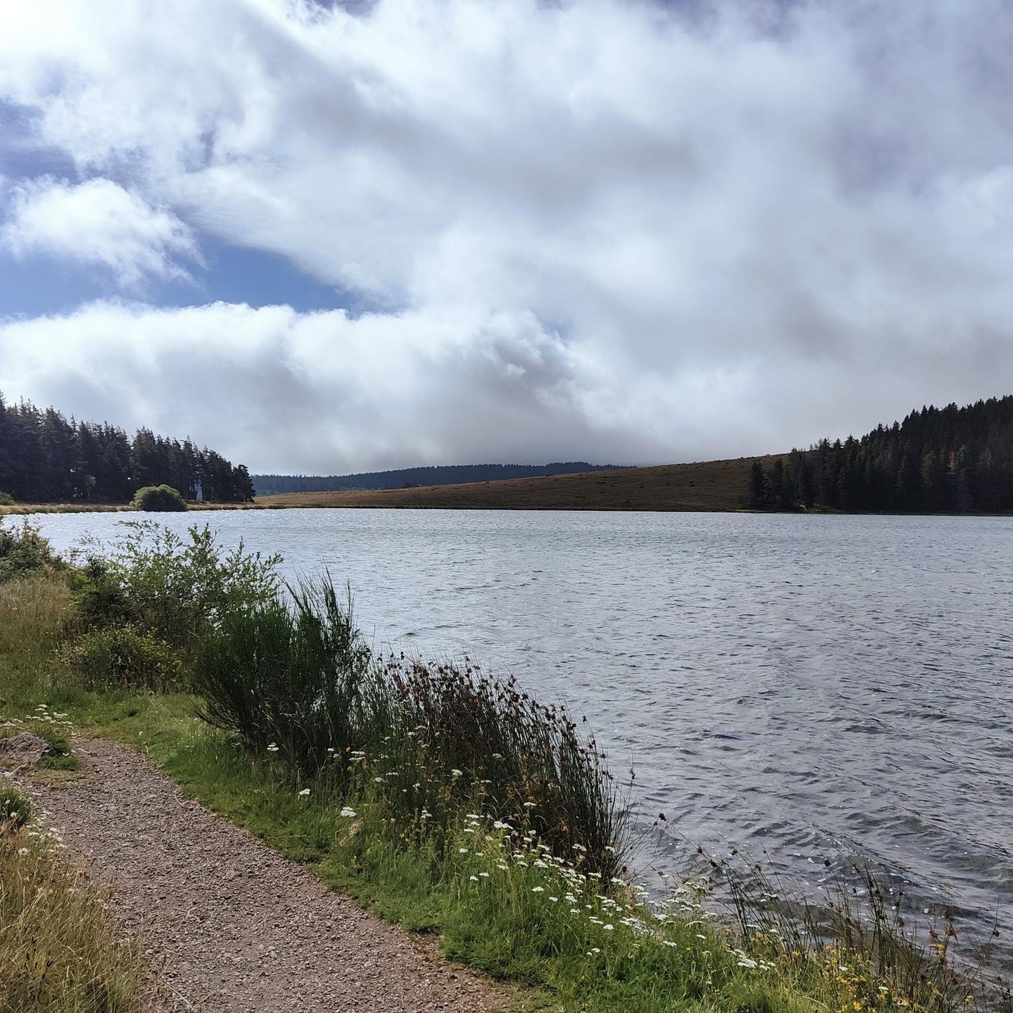
This is undoubtedly the most beautiful lake in the heart of the Auvergne volcanoes. A magical atmosphere reigns here.
0
0

The Col de Guéry, located in the heart of the Auvergne region, offers a picturesque mountain pass experience amidst the volcanic landscapes of the Massif Central. At an altitude of approximately 1,267 metres, the pass offers stunning views of Lake Guéry below, the highest lake in Auvergne. The region is known for its tranquil beauty, with rolling meadows, dramatic volcanic peaks and forests that change colour with the seasons. Nearby Roche Sanadoire and Roche Tuilière add to the spectacular scenery, making it a perfect stop on your hike.
1
0

At just over 1480m, the Puy Loup offers a great view in all directions. The small refuge on the summit used to be a tower that belonged to a gliding base that was located on the ridge at the beginning of the 20th century: 'Centre national de vol sans moteur de LA BANNE D'ORDANCHE', https://www.anciens-aerodromes.com/
2
1


Frequently Asked Questions
What kind of terrain can I expect on running routes around Saint-Pierre-Roche?
The running routes in Saint-Pierre-Roche offer a diverse and stimulating environment. You'll encounter varied terrain including dramatic volcanic landscapes, ancient hills, forests, and grassy paths. This ensures a range of surfaces and inclines suitable for different levels of running and trail running.
Are there running routes suitable for all skill levels in Saint-Pierre-Roche?
Yes, Saint-Pierre-Roche offers a wide range of running routes catering to various fitness levels. Out of 67 available routes, you'll find options from easy paths to more challenging long-distance trails. For example, there are 1 easy, 47 moderate, and 19 difficult routes to choose from.
Are there any running routes that pass by notable natural landmarks or viewpoints?
Absolutely. Many routes offer stunning views of the region's unique volcanic landscape. You can find trails with vistas of the Chain of Puys, a UNESCO World Heritage site. For instance, the Puy de Cros loop from Olby provides views of the surrounding volcanic scenery. You can also explore highlights like the Puy de Dôme Summit or Puy Loup.
Can I find running routes that include water features like lakes or waterfalls?
Yes, the area boasts several beautiful natural water features. The Puy Loup – Lake Servières loop from Rochefort-Montagne, for example, passes by Lake Servières. The region also features waterfalls such as Cascade de Say, Cascade des Saliens, and Cascade de la Graille, which can be incorporated into scenic running experiences.
Are there circular running routes available around Saint-Pierre-Roche?
Yes, many of the running routes in the area are circular, offering convenient loops for your run. Popular examples include the Puy de Cros loop from Olby, the The Sioule loop from Saint-Bonnet-près-Orcival, and the Puy d'Ebert loop from Château de Cordès.
What is the best time of year to go running in Saint-Pierre-Roche?
The best time to enjoy running in Saint-Pierre-Roche is generally during the warmer months, from spring to early autumn. This period offers pleasant weather conditions for exploring the diverse trails and volcanic landscapes.
What do other runners enjoy most about jogging in Saint-Pierre-Roche?
The running routes in Saint-Pierre-Roche are highly rated by the komoot community, with an average score of 4.7 stars from over 30 reviews. Runners often praise the dramatic volcanic terrain, the extensive vistas of ancient peaks, and the diverse network of trails that cater to various ability levels.
Are there any family-friendly running routes in the area?
While specific amenities like playgrounds are not detailed for individual routes, the region offers a variety of trails, including easier options. You can find routes with less elevation gain and shorter distances that might be suitable for families looking for a gentle run or walk. Always check the route details for distance and elevation to ensure it matches your family's capabilities.
Can I bring my dog on the running trails around Saint-Pierre-Roche?
Many outdoor trails in natural parks are dog-friendly, but it's always recommended to keep your dog on a leash, especially in protected areas like the Parc Naturel Régional des Volcans d'Auvergne, to protect wildlife and ensure the safety of other trail users. Check local signage for specific regulations on individual trails.
What are the typical elevation gains on running routes in Saint-Pierre-Roche?
Given the region's dramatic volcanic terrain, you can expect varied elevation gains. Moderate routes might have around 150-250 meters of ascent, while more challenging trails, like the 51.2 km Puy Loup – Lake Servières loop from Rochefort-Montagne, can feature significant climbs, reaching over 1600 meters of elevation gain.
How many running routes are available around Saint-Pierre-Roche?
There are over 60 running routes available around Saint-Pierre-Roche, offering a wide selection for runners of all preferences and fitness levels. This extensive network allows for diverse exploration of the region's unique landscapes.
Are there any easy running routes for beginners or a relaxed jog?
Yes, among the 67 routes, there is at least one designated easy route. Additionally, many of the 47 moderate routes might be suitable for beginners looking for a slightly longer but manageable run. Always check the distance and elevation profile to find a route that matches your comfort level.
Most popular routes around Saint-Pierre-Roche
Most popular attractions around Saint-Pierre-Roche

Get inspired with the komoot mobile app


Explore more
Browse the best Running Trails & Routes in other regions.
