The best walks and hikes around Flamarens
4.2
(133)
836
hikers
25
hikes
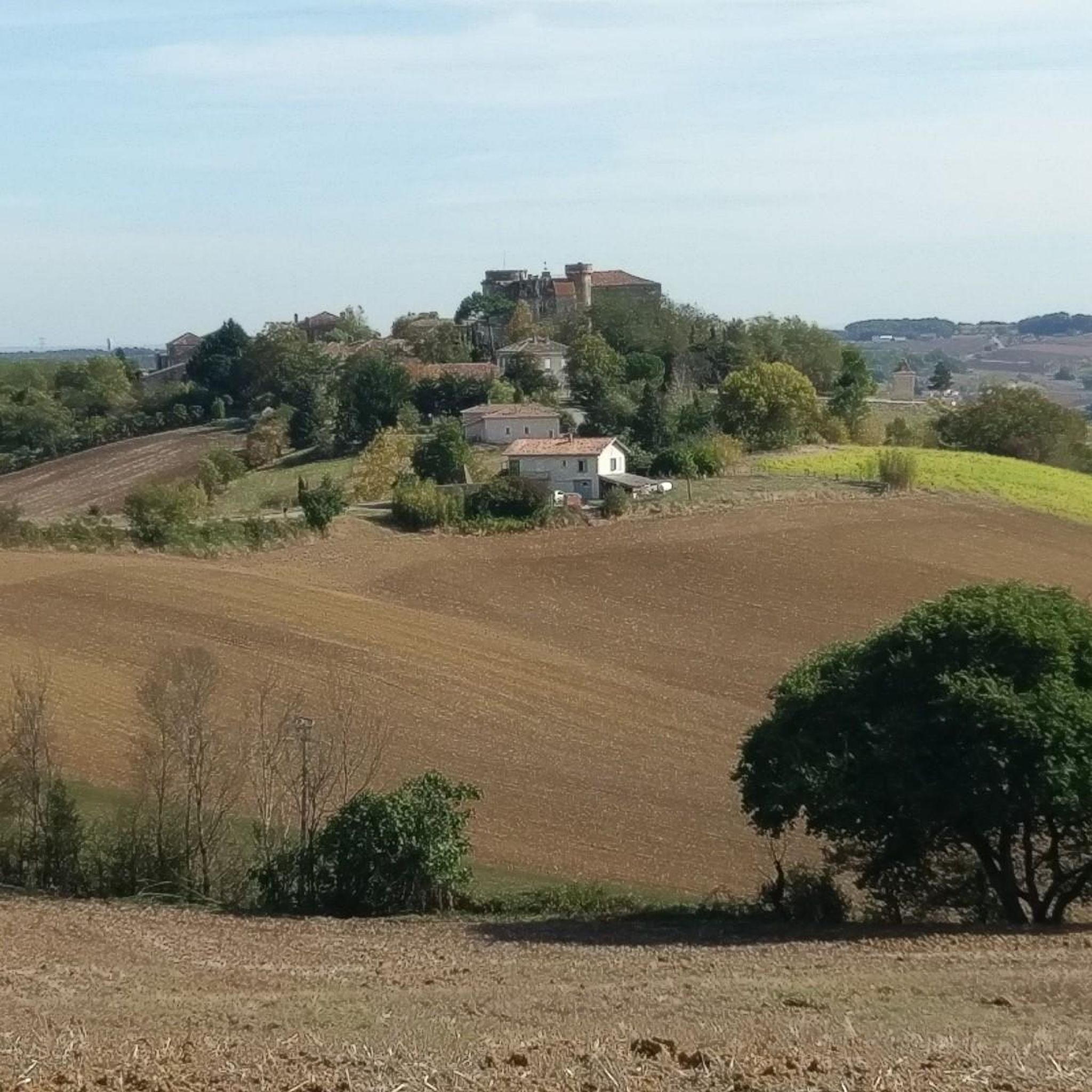
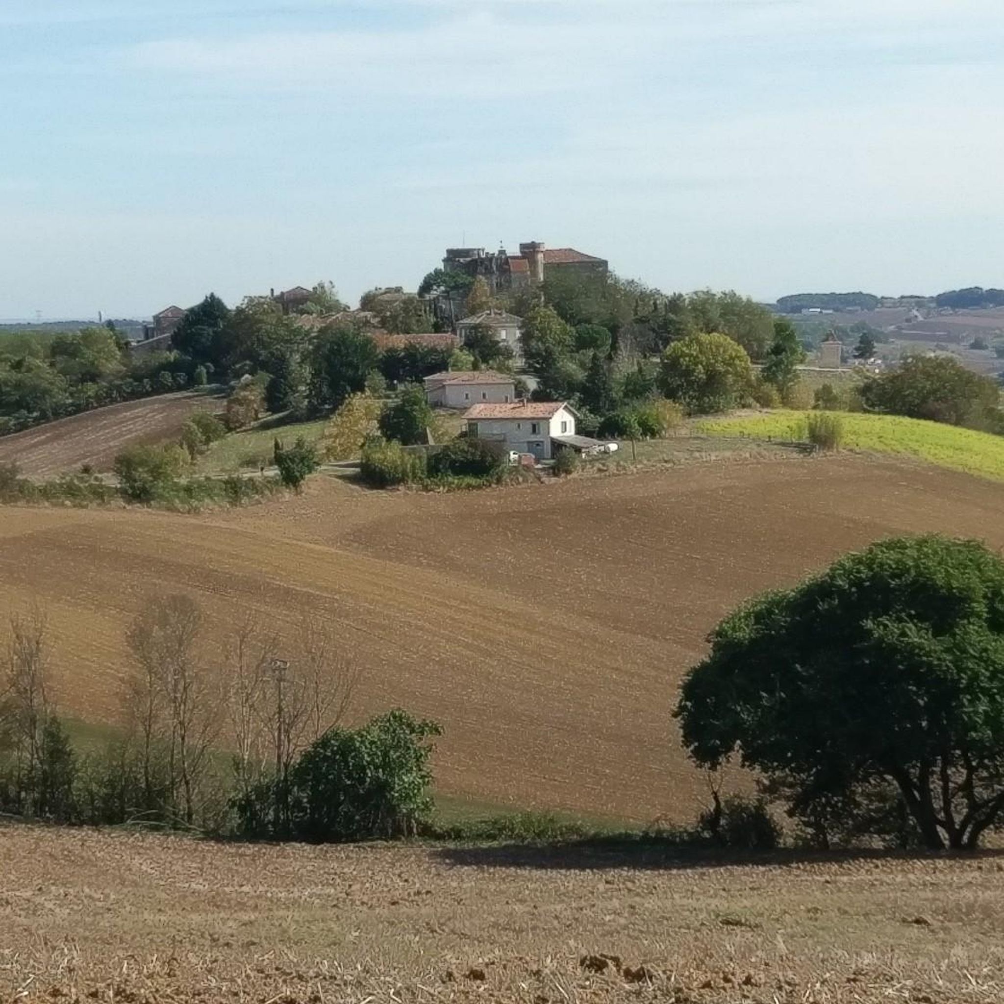
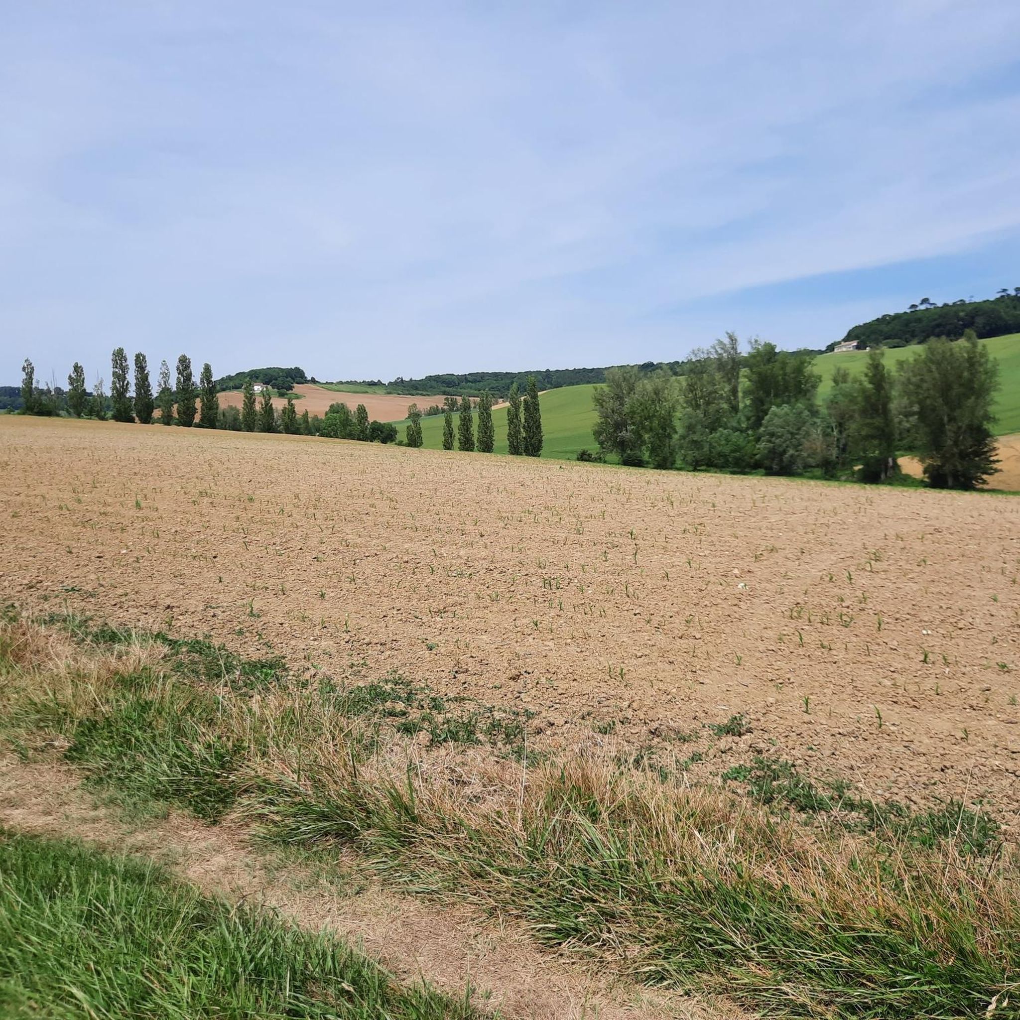
Hiking around Flamarens offers exploration of the rolling countryside in the Gers department of Midi-Pyrénées, France. The region is characterized by its waterways, including the Garonne river and numerous streams, contributing to a verdant landscape. Trails often traverse historical areas, including segments of the Via Podiensis pilgrimage route, providing a blend of natural beauty and cultural context. Distant views of the Pyrenees add to the scenic backdrop.
Best hiking trails around Flamarens
- The most popular hiking route is Landscapes of…
Last updated: August 22, 2026
4.1
(36)
202
hikers
26.7km
07:28
520m
520m
Hard hike. Very good fitness required. Easily-accessible paths. Suitable for all skill levels.
4.3
(42)
239
hikers
26.3km
07:19
500m
490m
Hard hike. Very good fitness required. Easily-accessible paths. Suitable for all skill levels.

Sign up for free
9
hikers
8.81km
02:24
130m
130m
Moderate hike. Good fitness required. Easily-accessible paths. Suitable for all skill levels.
9
hikers
9.40km
02:33
140m
140m
Moderate hike. Good fitness required. Easily-accessible paths. Suitable for all skill levels.
4.7
(3)
9
hikers
11.1km
03:01
160m
160m
Moderate hike. Good fitness required. Easily-accessible paths. Suitable for all skill levels.
Get access to more routes and recommendations from other explorers.
Sign up for free
Already have an account?
Our route recommendations are based on thousands of hikes, rides, and runs completed by other people on komoot.
Start today with a free account
Your next adventure awaits.
Login or Signup
Tips from the Community

On the entrance gates of Lamotte Castle, look for the coat of arms of the Esparbès family. Interestingly, these same motifs can also be found on the radiator caps of American Cadillac cars. This coat of arms was, in fact, borrowed from Antoine Laumet, a native of Saint-Nicolas-de-la-Grave and founder of the city of Detroit in 1701, who usurped his title of nobility by calling himself Antoine de la Motte de Cadillac. Two and a half centuries later, the American company based in Detroit used the coat of arms of its city's founder, along with part of his name.
1
0

For lovers of regional products, a farmers' market takes place every Sunday morning under the market hall!
3
0
The village of Auvillar, which overlooks the Garonne valley from its hill, is a stopping point on the road to Santiago de Compostella and has the special feature of being included on the list of most beautiful villages in France.
3
0
The area of Auvillar is 15.6 km², the population density is 63.7 inhabitants per km².
3
0
Auvillar is a municipality in the French department of Tarn-et-Garonne (region Occitanie) and has 994 inhabitants (2004). The town is part of the arrondissement of Castelsarrasin. Auvillar has been recognized by Les Plus Beaux Villages de France as one of the most beautiful villages in France
3
0

Auvillar is classified among the Most Beautiful Villages of France. The village offers many accommodations and several restaurants.
0
1

Coming from Mossiac, the town of Saint-Antoine is the 18th stage of the Camino de Santiago (Chemin de Saint-Jaques) if you follow the VIA PODIENSIS (from Le Puy-en-Velay to the Pyrenees).
2
1
On the Via Podiensis, pilgrims pass through many towns and can visit many churches. On the 19th stage (counting according to "Rother"), which leads from Saint-Antoine to Lectoure, this church is passed.
2
1
Frequently Asked Questions
How many hiking trails are available around Flamarens?
Flamarens offers a diverse network of over 25 hiking trails. These routes cater to various skill levels, with 7 easy, 12 moderate, and 7 difficult options, ensuring there's a path for every hiker.
What kind of terrain and elevation can I expect on hikes in Flamarens?
The hiking trails around Flamarens are characterized by rolling hills and river valleys, particularly along the Garonne. While not mountainous, routes can include significant elevation changes. For example, the difficult Landscapes of the Gers – Saint-Saturnin Church loop from Saint-Antoine features over 500 meters of ascent, offering a good challenge and expansive views.
Are there any circular walks in the Flamarens area?
Yes, many of the trails around Flamarens are designed as circular routes, allowing you to start and end in the same location. A popular moderate option is the Hiking loop from Saint-Antoine, which covers 8.8 km through the local countryside.
What historical landmarks or natural features can I see while hiking near Flamarens?
Hiking in Flamarens offers a blend of natural beauty and historical sites. You can explore the 13th-century Château de Flamarens, visit the distinctive Auvillar Circular Market Hall in one of France's 'Most Beautiful Villages,' or discover historic churches like the Saint-Saturnin Church. The Garonne river and its tributaries also provide scenic views, and in the distance, you might even spot the Pyrenees.
Are there any easy, family-friendly hikes around Flamarens?
Yes, Flamarens offers 7 easy hiking routes suitable for families. These trails typically feature gentler gradients and shorter distances, perfect for a leisurely outing with children. While specific family-friendly routes are not detailed here, you can find several options within the easy category on komoot.
What do other hikers enjoy most about the trails in Flamarens?
The trails in Flamarens are highly rated by the komoot community, with an average score of 4.4 stars from over 125 reviews. Hikers often praise the blend of natural beauty, historical context, and the varied terrain that ranges from rolling countryside to river valleys. The presence of pilgrimage routes like the Via Podiensis also adds a unique cultural dimension to the hiking experience.
Can I bring my dog on the hiking trails in Flamarens?
Many trails in the Flamarens region are dog-friendly, allowing you to enjoy the countryside with your canine companion. However, it's always recommended to keep dogs on a leash, especially when passing through agricultural areas or near livestock, and to check specific trail regulations for any restrictions.
Are there any challenging hikes for experienced trekkers in Flamarens?
Absolutely. Flamarens features 7 difficult hiking routes designed for experienced trekkers. These trails often involve longer distances and more significant elevation changes. An example is the Saint-Saturnin Church – Landscapes of the Gers loop from Miradoux, which spans over 21 km with considerable ascent, offering a rewarding challenge.
What is the best time of year to go hiking in Flamarens?
The Midi-Pyrénées region, where Flamarens is located, generally offers pleasant hiking conditions from spring through autumn. Spring brings blooming landscapes, while autumn provides comfortable temperatures and beautiful fall colors. Summer can be warm, so early morning or late afternoon hikes are often preferred during this season.
Are there places to eat or drink near the hiking trails in Flamarens?
While Flamarens itself is a small commune, nearby villages like Auvillar offer amenities such as cafes and restaurants. Auvillar, known for its vibrant Sunday market, is a great place to find refreshments and local produce after a hike, especially if you've completed a route like the Landscapes of the Gers – Auvillar Circular Market Hall loop from Saint-Antoine.
Is public transport available to access hiking trails in Flamarens?
Accessing hiking trails in Flamarens primarily relies on personal transport due to the rural nature of the region. While some regional bus services might connect larger towns, direct public transport to specific trailheads within Flamarens is limited. It's advisable to plan your journey with a car or consider cycling to trail starting points.
Where can I park when hiking in Flamarens?
Parking is generally available in the villages and towns that serve as starting points for many trails, such as Saint-Antoine or Auvillar. Look for designated parking areas within these communes. Given the rural setting, roadside parking might also be an option in some less populated areas, but always ensure you are not obstructing local access or private property.
Most popular attractions around Flamarens

Get inspired with the komoot mobile app


Explore more
Browse the best Hikes in other regions.
