The best running trails around Saint-Rirand
4.2
(49)
1,770
runners
219
runs
Jogging routes Saint-Rirand are characterized by a semi-mountainous terrain, with elevations ranging from 486 meters to 1,035 meters, providing varied inclines and descents. Three-quarters of the commune's territory is covered by dense woodlands, offering shaded trails and a natural environment for running. The Tâche river gorges also present unique routes for exploration, while an extensive network of rural paths and trails caters to various distances and terrains.
Best jogging routes around Saint-Rirand
- The most popular jogging route is Allée des…
Last updated: July 1, 2026
12
runners
Hard run. Very good fitness required. Sure-footedness, sturdy shoes and alpine experience required.
10
runners
7.16km
00:51
160m
160m
Moderate run. Good fitness required. Mostly paved surfaces. Suitable for all skill levels.

Sign up for free
3.0
(1)
6
runners
12.5km
01:40
520m
520m
Hard run. Very good fitness required. Mostly paved surfaces. Suitable for all skill levels.
4
runners
7.82km
00:57
210m
220m
Moderate run. Good fitness required. Mostly paved surfaces. Suitable for all skill levels.
5
runners
12.7km
01:40
450m
450m
Hard run. Very good fitness required. Mostly paved surfaces. Suitable for all skill levels.
Get access to more routes and recommendations from other explorers.
Sign up for free
Already have an account?
Our route recommendations are based on thousands of hikes, rides, and runs completed by other people on komoot.
Start today with a free account
Your next adventure awaits.
Login or Signup

Tips from the Community

This ancient path, near the hamlet of La Bletterie, is lined with majestic trees over 400 years old, whose distinctive shape is the result of human pruning. You'll feel like you're in a fairy tale as you admire the moss-covered trunks, the branches reaching toward the sky, and the lovers' initials engraved on the bark.
0
0

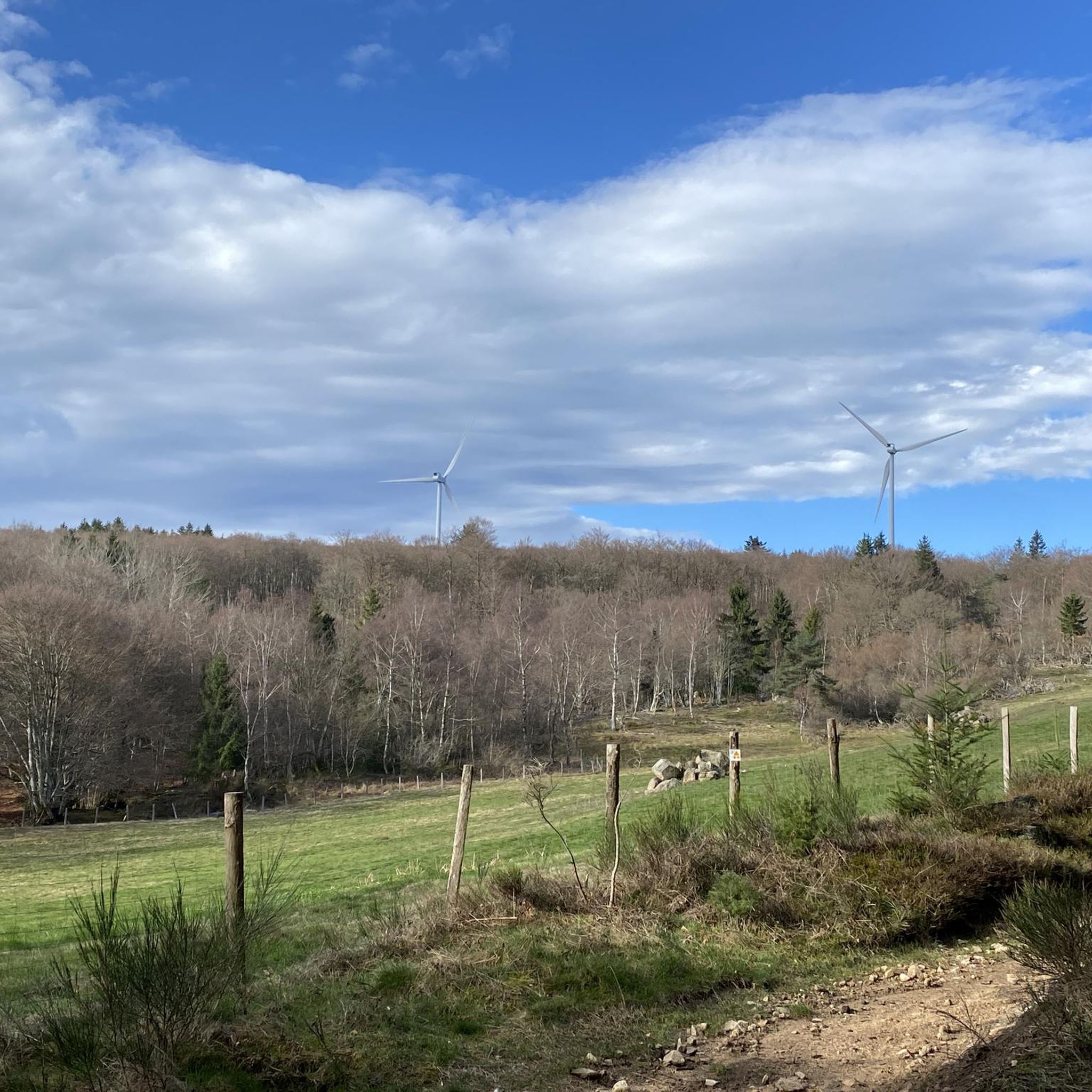
The Glassworks Plateau is located at an altitude of 1,015 meters. It is a large open plateau in the Magdalen Mountains. The landscape is wild and relatively unspoiled.
0
0
If you are looking for a magical run in the Montagne Bourbonnaise, don't miss the Alley of tortuous beech trees. This old path, near the hamlet of Bletterie, is lined with majestic trees over 400 years old and whose particular shape is due to human pruning. You'll feel like you're running through a fairy tale as you admire the moss-covered trunks, the branches soaring skyward and the lovers' initials carved into the bark.
2
0
From this place, located just before the true highest point of the plateau, one enjoys an unobstructed view of the Roannais, the Alps and the regions of Auvergne.
3
0
If you are looking for a hiking adventure in a unique and wild landscape, you should visit the Verrerie plateau, a natural site protected by Natura 2000. This plateau is the last open moor of the Monts de la Madeleine, and it is home to rare and diverse flora and fauna in its bog, which dates back to 4600 BC. A wooden walkway will allow you to enter the protected area without harming the environment. From this plateau, you will have a breathtaking view of the Roannais, the Alps and the Auvergne. In the past, glassmakers burned all the beech trees to melt the silica. The Plateau de la Verrerie is a place where nature and history meet, and where you can experience a different hike.
4
0
If you are looking for a magical hike in the Montagne Bourbonnaise, you must not miss the Alley of tortuous beech trees. This old path, near the hamlet of Bletterie, is lined with majestic trees over 400 years old and whose particular shape is due to human pruning. You'll feel like you're walking through a fairy tale as you admire the moss-covered trunks, the branches reaching skyward and the initials of lovers carved into the bark.
2
0

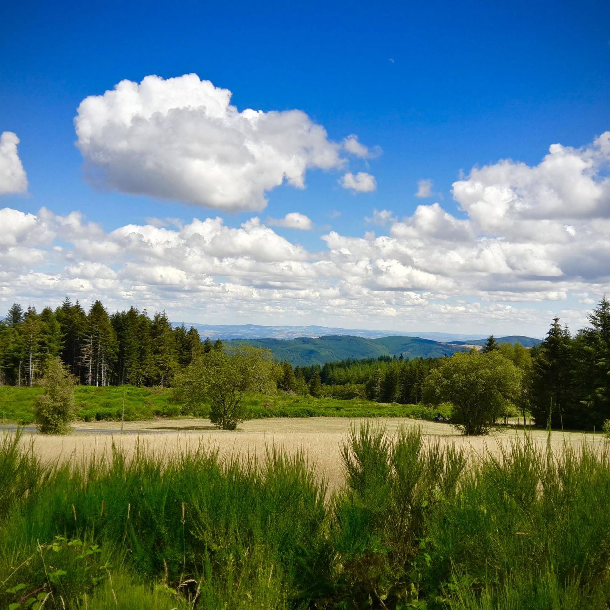
A corner of paradise and an air of Provence due to its vegetation and its full sun exposure. After driving under the tall fir trees, the landscape opens up on this plateau and offers us a completely different setting.
0
0
The Col La Rivière Noire from Les Villards is 14.19km long with a total drop of 631m. The average gradient is 4.45% with maximum gradients of 7%.
1
0
Frequently Asked Questions
How many running routes are available in Saint-Rirand?
Saint-Rirand offers a wide selection of running routes, with over 200 trails available for exploration. These routes cater to various preferences, from moderate jogs to more challenging runs.
What kind of terrain can I expect on jogging routes in Saint-Rirand?
The jogging routes in Saint-Rirand feature a semi-mountainous terrain, with elevations ranging from 486 meters to 1,035 meters, providing varied inclines and descents. You'll find extensive natural features, including dense woodlands covering three-quarters of the commune, and paths winding through the scenic Tâche river gorges. The area boasts a vast network of rural paths and trails, offering diverse surfaces for your run.
Are there running routes suitable for beginners or those seeking an easier jog?
Yes, while Saint-Rirand is known for its challenging terrain, there are options for all levels. The area offers 7 easy routes and 95 moderate routes, alongside 108 difficult ones. This variety ensures that both beginners and experienced runners can find a suitable path.
What do other runners enjoy most about jogging in Saint-Rirand?
The running routes in Saint-Rirand are highly rated by the komoot community, with an average score of 4.4 stars from over 46 reviews. More than 1600 runners have explored the area, often praising the varied terrain, dense forests, and the tranquil, natural environment that makes for a rewarding outdoor experience.
Are there any circular running routes in the area?
Many of the running routes in Saint-Rirand are designed as loops, allowing you to start and finish at the same point. For example, the Allée des hêtres tortueux – Plateau de la Verrerie loop from Saint-Nicolas-des-Biefs is a popular 7.5-mile (12.1 km) circular trail exploring wooded areas. Another option is the Running loop from Saint-Nicolas-des-Biefs, a moderate 4.4-mile (7.1 km) path.
Can I find running routes with scenic viewpoints or natural landmarks?
Absolutely. Saint-Rirand's semi-mountainous landscape offers numerous scenic spots. You can explore routes that lead to the Plateau de la Verrerie, known for its views, or discover natural features like the Pisserotte Waterfall. The Tâche river gorges also provide dramatic landscapes for exploration while running.
Are there any family-friendly jogging routes in Saint-Rirand?
While many routes feature significant elevation changes, Saint-Rirand does offer easier and moderate options that can be suitable for families. Look for routes with lower difficulty ratings and shorter distances to ensure a pleasant experience for everyone. The extensive network of rural paths provides varied terrain that can be adapted to different family needs.
Are dogs allowed on the running trails in Saint-Rirand?
Saint-Rirand's extensive natural environment, with its abundant woodlands and rural paths, is generally welcoming to dogs. However, it's always recommended to keep your dog on a leash, especially in forested areas or near wildlife, and to respect local regulations or signage that may be present on specific trails.
Where can I park my car when accessing jogging trails in Saint-Rirand?
Given Saint-Rirand's rural character and its focus on outdoor activities, you can typically find parking options near trailheads or in the village center. For routes starting from specific points like Saint-Nicolas-des-Biefs or Saint-Rirand itself, there are often designated parking areas or roadside spots available for public use.
What is the best time of year for jogging in Saint-Rirand?
Saint-Rirand's abundant woodlands offer shaded trails, making it pleasant for jogging even in warmer months. Spring and autumn provide particularly comfortable temperatures and beautiful scenery with changing foliage. Winter jogging is also possible, though some higher elevation paths might require appropriate gear due to snow or ice.
Are there any accommodations or places to eat near the running routes?
Despite being a small commune, Saint-Rirand has an infrastructure to welcome visitors, including a communal gîte, a rural gîte, and a private gîte. These provide convenient options for staying overnight. While specific cafes or pubs directly on trails might be limited, the village and nearby areas offer options for refreshments and meals, allowing you to refuel after your run.
Can I combine my run with a visit to a local attraction?
Yes, you can certainly integrate local attractions into your running plans. For instance, the area features a local bison farm, which adds to the rural charm. You might also find routes that pass near historical sites like Saint-Haon-Le-Châtel or natural highlights such as the Saint-Nicolas-des-Biefs Municipal Forest.
Most popular attractions around Saint-Rirand

Get inspired with the komoot mobile app


Explore more
Browse the best Running Trails & Routes in other regions.
