The best walks and hikes around Sansac-De-Marmiesse
4.4
(95)
841
hikers
75
hikes
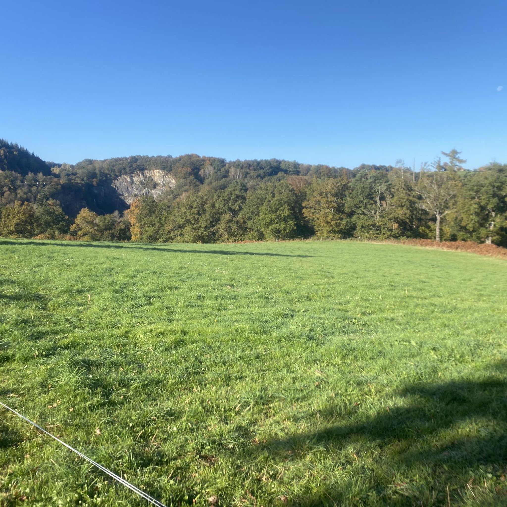
Hiking around Sansac-De-Marmiesse offers diverse landscapes characterized by lush greenery and varied terrain. The area features deciduous forests, providing shaded paths, and is set against the backdrop of the verdant Cantal hills. The Cère river and its tributary, the Roannes stream, contribute to the tranquil natural setting, while geological features like basaltic organs and granite blocks highlight the region's volcanic past. Elevations in the commune range from approximately 536 to 724 meters, offering a mix of gentle to moderate slopes…
Last updated: June 29, 2026
4.4
(7)
42
hikers
5.20km
01:25
80m
80m
Easy hike. Great for any fitness level. Easily-accessible paths. Suitable for all skill levels.
18
hikers
12.3km
03:27
230m
230m
Moderate hike. Good fitness required. Easily-accessible paths. Suitable for all skill levels.

Sign up for free
5.0
(2)
9
hikers
5.29km
01:32
140m
140m
Easy hike. Great for any fitness level. Easily-accessible paths. Suitable for all skill levels.
4.0
(1)
5
hikers
12.7km
03:38
290m
290m
Moderate hike. Good fitness required. Easily-accessible paths. Suitable for all skill levels.
6
hikers
10.2km
02:53
220m
220m
Moderate hike. Good fitness required. Easily-accessible paths. Suitable for all skill levels.
Get access to more routes and recommendations from other explorers.
Sign up for free
Already have an account?
Our route recommendations are based on thousands of hikes, rides, and runs completed by other people on komoot.
Start today with a free account
Your next adventure awaits.
Login or Signup



Frequently Asked Questions
How many hiking trails are available around Sansac-de-Marmiesse?
There are over 80 hiking trails around Sansac-de-Marmiesse, catering to various skill levels. You'll find a good mix of easy and moderate routes, with a few more challenging options for experienced hikers.
Are there any easy, family-friendly hikes in Sansac-de-Marmiesse?
Yes, Sansac-de-Marmiesse offers many easy, family-friendly options. For example, the Small Waterfall in the Forest loop from Saint-Mamet-la-Salvetat is an easy 5.3 km trail that takes about 1 hour 30 minutes, leading through shaded forest paths and past natural water features. The region's deciduous forests and gentle Cantal hills provide pleasant conditions for all ages.
What kind of terrain can I expect on hikes around Sansac-de-Marmiesse?
The terrain around Sansac-de-Marmiesse is diverse, featuring lush greenery, deciduous forests, and the verdant Cantal hills. You'll encounter shaded paths, riverside trails along the Cère river, and areas with interesting geological features like basaltic organs and granite blocks, hinting at the region's volcanic past. Elevations range from approximately 536 to 724 meters, offering a mix of gentle to moderate slopes.
Are there any circular walks available in the area?
Many of the trails around Sansac-de-Marmiesse are circular, allowing you to start and end at the same point. A popular choice is the Hiking loop from Sansac-de-Marmiesse, a moderate 7.9 km route that takes about 2 hours 10 minutes and covers varied terrain including forest sections and open areas.
What natural features or landmarks can I see while hiking?
Hikers can explore a variety of natural features and landmarks. The Cère river and Roannes stream offer tranquil riverside scenery. The 'Sentier de la Pierre' (Stone Path) showcases unique basaltic organs and impressive blocks of granite. You can also find trails leading to natural water features, such as the Small Waterfall in the Forest loop. For broader views, consider routes near the Viewpoint over Lake St-Étienne-Cantalès.
Are there any historical sites or castles accessible via hiking trails?
Yes, you can incorporate historical elements into your hikes. The 15th-century Saint-Sauveur church in the village is a notable example of Gothic rural architecture. For a more extensive route, the Conros Castle loop from Aéroport d'Aurillac is a moderate 10.2 km trail that allows you to explore the surroundings of the historic Château de Conros.
What do other hikers say about the trails in Sansac-de-Marmiesse?
The trails in Sansac-de-Marmiesse are highly rated by the komoot community, with an average score of 4.4 stars from over 80 reviews. Hikers often praise the quiet woodlands, the varied terrain, and the well-maintained paths that make for enjoyable outdoor experiences.
Is Sansac-de-Marmiesse a good base for exploring the wider Cantal region?
Absolutely. Sansac-de-Marmiesse serves as an excellent gateway to the broader Cantal department. It's in close proximity to major natural attractions like the iconic Puy Griou and Plomb du Cantal, both significant volcanic peaks within the Auvergne Volcanoes Park. The nearby Lac de Saint-Étienne-Cantalès also offers additional lakeside trails and water sports.
Are there options for longer, more challenging hikes?
While many trails are easy to moderate, there are options for longer routes. The Plade du Puech des Ouilhes loop from Lacapelle-Viescamp is a moderate 11.1 km hike, offering a more extended exploration of the landscape. The region also provides access to more dramatic volcanic landscapes further afield for advanced hikers.
What is the best time of year to go hiking in Sansac-de-Marmiesse?
The region is beautiful throughout much of the year. Spring and autumn offer pleasant temperatures and vibrant colors in the deciduous forests. Summer provides shaded paths, ideal for escaping the heat. While specific seasonal considerations for winter hiking aren't detailed, the area's moderate elevations generally make it accessible for a good portion of the year.
Are there any specific trails that offer views of the local landscape?
Yes, many trails provide scenic views of the local landscape. The Bassin de la rn122 loop from Belbex is an easy 6.1 km path that offers views of the local landscape with gentle elevation changes. Additionally, routes near the Viewpoint over Lake St-Étienne-Cantalès provide expansive vistas.
Can I find information on parking for trailheads?
While specific parking details for every trailhead are not listed here, Sansac-de-Marmiesse is generally well-equipped for visitors. Many popular trails, especially those starting directly from the commune or nearby villages, typically have designated parking areas. It's always advisable to check local signage upon arrival.
Most popular routes around Sansac-De-Marmiesse
Most popular attractions around Sansac-De-Marmiesse

Get inspired with the komoot mobile app


Explore more
Browse the best Hikes in other regions.
