The best road cycling routes around Queige
4.6
(670)
31,237
riders
149
rides
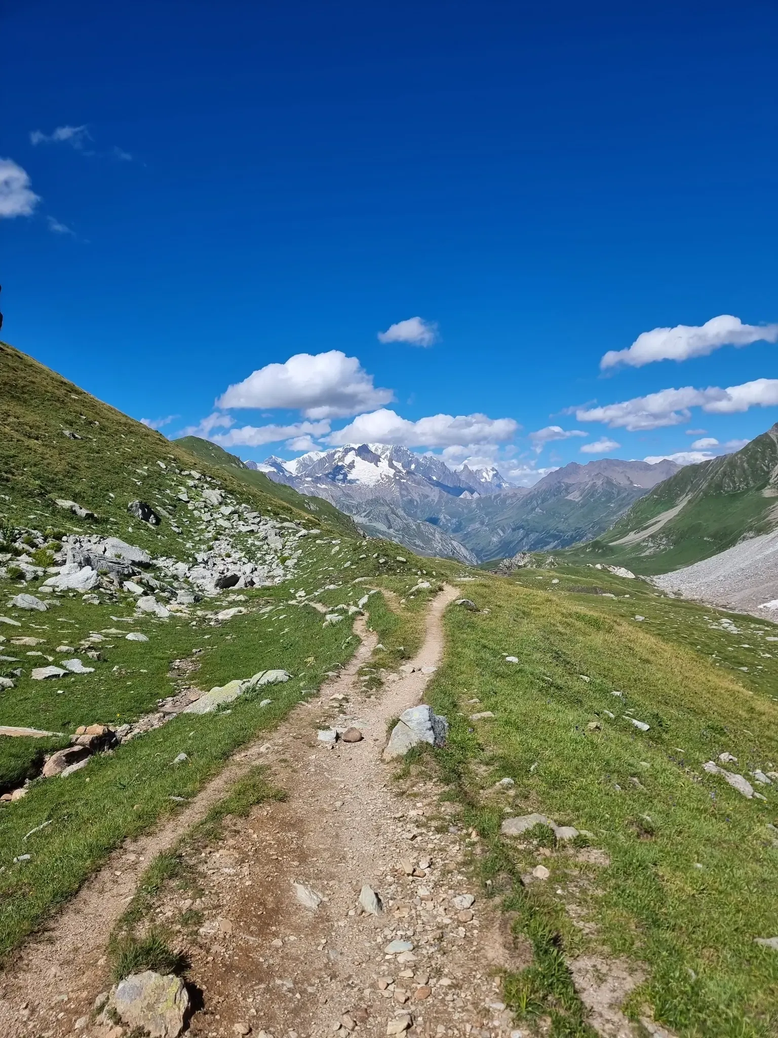
Road cycling around Queige offers access to mountainous terrain within the Beaufortain region of the French Alps. The area is characterized by alpine pastures, high-altitude lakes, and traditional villages, providing a varied backdrop for cycling. Cyclists can expect significant elevation gains and challenging gradients, with routes often featuring views of the Mont Blanc massif and the Aravis range. The region's roads are generally well-maintained, catering to serious road cycling.
Best road cycling routes in Queige
- The most popular road cycling…
Last updated: July 5, 2026
4.0
(2)
195
riders
64.0km
04:22
2,130m
2,130m
This difficult 39.7-mile (64.0 km) road cycling route, the Saisies Circuit, climbs 6991 feet (2131 metres) through the French Alps.
4.9
(19)
415
riders
57.4km
03:20
1,380m
1,380m
Hard road ride. Very good fitness required. Mostly well-paved surfaces and easy to ride.

Sign up for free
4.7
(12)
363
riders
47.4km
03:12
1,360m
1,360m
Hard road ride. Very good fitness required. Mostly well-paved surfaces and easy to ride.
4.9
(10)
354
riders
50.4km
03:17
1,520m
1,520m
Hard road ride. Very good fitness required. Mostly well-paved surfaces and easy to ride.
4.2
(6)
287
riders
59.2km
02:16
170m
170m
Moderate road ride. Good fitness required. Mostly well-paved surfaces and easy to ride.
Get access to more routes and recommendations from other explorers.
Sign up for free
Already have an account?
Our route recommendations are based on thousands of hikes, rides, and runs completed by other people on komoot.
Start today with a free account
Your next adventure awaits.
Login or Signup
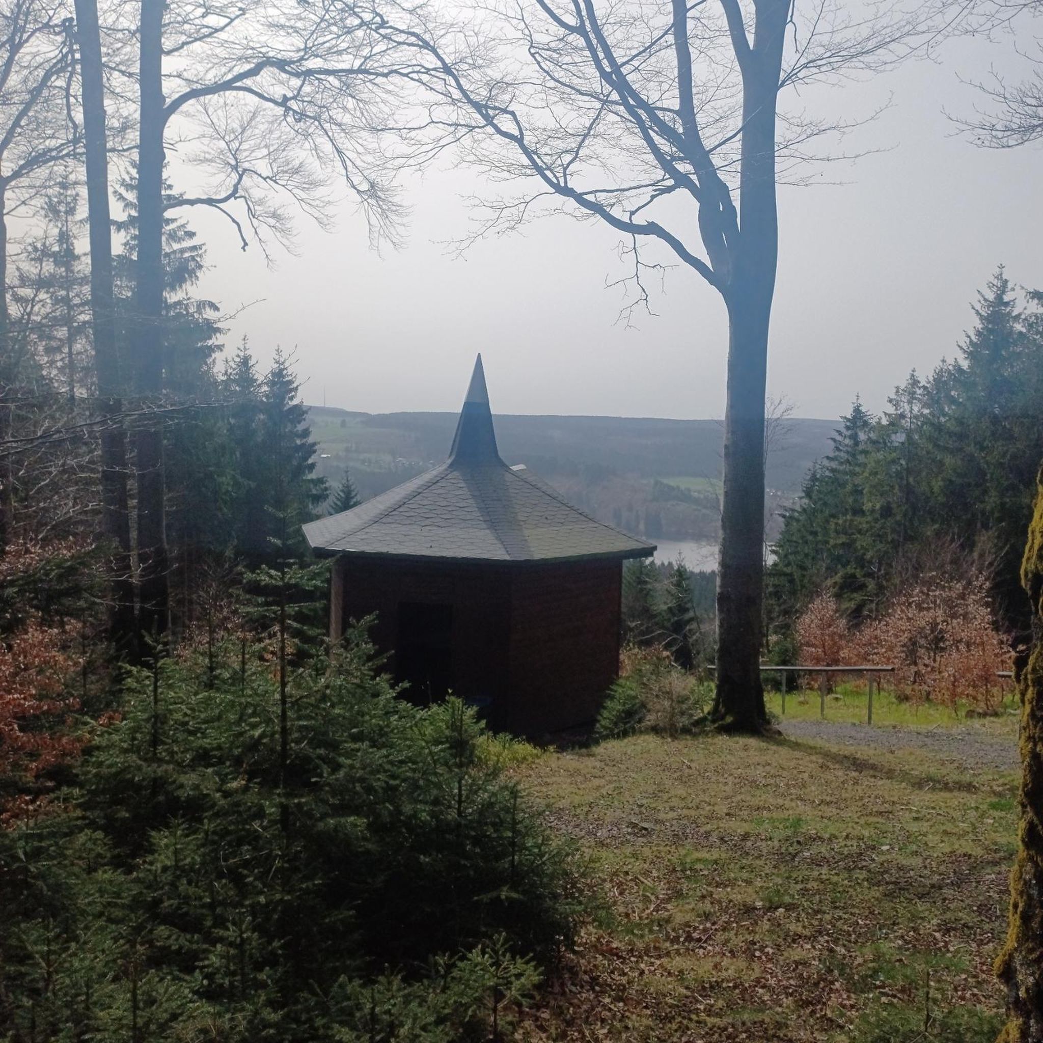
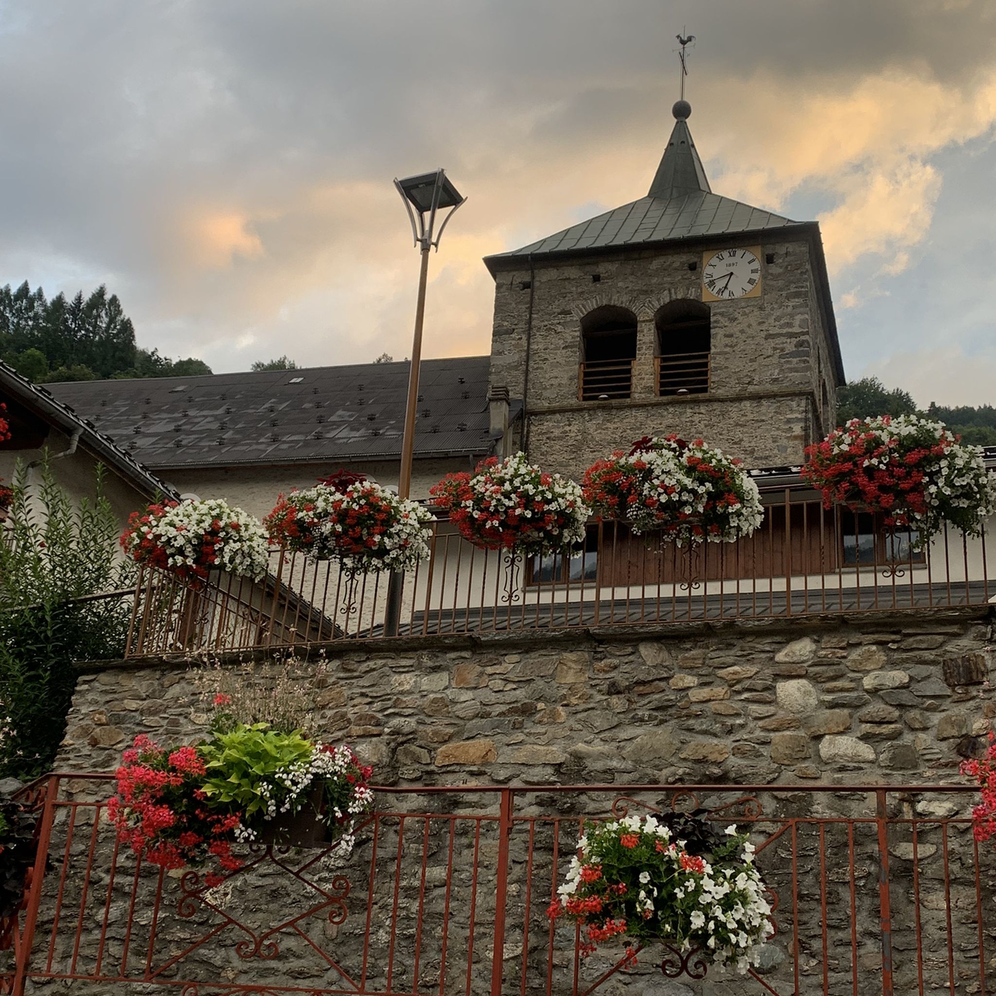

Other adventures around Queige

Tips from the Community

In some places very beautiful views of Mont Blanc.
4
0
Nice small pass, decent but steady climb. Great views and a nice restaurant at the pass, Refuge Auberge du Col de l'Arpettaz
3
0
D109, beautiful descent to Ugine
2
0
Beautiful small pass, small roads with little traffic, great views. Nice restaurant on the pass.
3
0
I went down this side, the views are nicer to enjoy.
3
0
Cycle path along the Isere with a bathing spot.
2
0
Beautiful cycle path along the Isere.
2
0
Frequently Asked Questions
How many road cycling routes are available around Queige?
There are nearly 150 road cycling routes around Queige, offering a wide range of options for different skill levels. This includes 23 easy routes, 68 moderate routes, and 58 difficult routes, ensuring there's something for every cyclist.
What kind of terrain can I expect when road cycling in Queige?
The region around Queige is characterized by mountainous terrain within the Beaufortain region of the French Alps. You'll encounter alpine pastures, high-altitude lakes, and traditional villages. Expect significant elevation gains, challenging gradients, and panoramic views of the Mont Blanc massif and the Aravis range.
Are there any easy or moderate road cycling routes in Queige?
Yes, while many routes feature significant climbs, there are 23 easy and 68 moderate road cycling routes available. For a moderate option, consider the Véloroute 62 – Bike path loop from Thénésol, which covers about 61 km with less elevation gain compared to the more challenging mountain passes.
What are some of the most challenging road cycling routes in the area?
Queige offers several challenging routes with substantial elevation gains. Notable difficult routes include the Saisies Circuit, a 64 km trail with over 2,100 meters of ascent, and the Signal of Bisanne – View of Mont Blanc loop from Queige, which features over 1,500 meters of climbing over 50 km.
Are there any circular road cycling routes around Queige?
Yes, many of the routes around Queige are designed as loops, allowing you to start and finish in the same location. Examples include the Collet de Tamié (960 m) – Tamié Pass loop from Thénésol and the Col de l'Arpettaz – Col de l'Arpettaz loop from Thénésol, both offering challenging circular rides through the mountains.
What natural features or landmarks can I see along the road cycling routes?
Road cycling routes around Queige offer stunning views of the Mont Blanc massif and the Aravis range. You'll pass through alpine pastures, traditional villages, and may even spot high-altitude lakes. The region is also known for its iconic mountain passes like Col des Saisies and Tamié Pass, which provide magnificent vistas.
What do other road cyclists enjoy most about cycling in Queige?
The road cycling routes around Queige are highly rated by the komoot community, with an average score of 4.5 stars from over 570 reviews. Cyclists often praise the challenging climbs, the well-maintained roads, and the breathtaking panoramic views of the French Alps, including Mont Blanc.
Are there any places to stop for refreshments or accommodation along the routes?
Yes, the region has traditional villages and amenities catering to cyclists. You might find mountain huts and restaurants along some routes, such as Le Patafan Mountain Restaurant or Refuge du Lachat, which can be good spots for a break. Many villages also offer cafes and accommodation options.
What is the best time of year for road cycling in Queige?
The best time for road cycling in Queige is typically from late spring to early autumn (May to October), when the weather is milder and the mountain passes are clear of snow. During these months, you can fully enjoy the vibrant green alpine pastures and the clear views of the high-altitude lakes and peaks.
Is there public transport available to reach the cycling routes in Queige?
While specific public transport options directly to every trailhead may vary, the region has cyclist-friendly infrastructure. It's advisable to check local bus or train services that connect to Queige or nearby towns like Thénésol, which serve as starting points for several routes, including the Collet de Tamié loop.
Are there any specific viewpoints or scenic spots I should look out for?
Absolutely. The region is renowned for its panoramic vistas. Routes often provide early views of the Mont Blanc massif and the Aravis range. Climbing towards La Palette (1716 m) or reaching passes like Col des Saisies will reward you with spectacular scenery over the alpine landscape.
What are the typical elevation gains on road cycling routes around Queige?
Road cycling around Queige involves substantial elevation gains, reflecting the mountainous terrain. Difficult routes can feature over 1,300 to 2,100 meters of ascent, such as the Saisies Circuit with over 2,100 meters of climbing. Even moderate routes will have noticeable elevation changes.
Most popular attractions around Queige

Get inspired with the komoot mobile app


Explore more
Browse the best Road cycling routes in other regions.
