The best running trails around Saint-Rémy-De-Maurienne
4.4
(11)
2,010
runners
13
runs
Jogging routes around Saint-Rémy-De-Maurienne offer diverse terrain within the Savoie department of the Auvergne-Rhône-Alpes region. The area features a significant altitude range, from 360 meters to 2800 meters, providing varied landscapes for running. Situated in the Maurienne valley at the foothills of the Belledonne chain, the region is characterized by numerous forest trails and marked tracks that wind through forests and mountain pastures. These natural features create a dynamic environment for runners of all levels.
Best jogging routes around Saint-Rémy-De-Maurienne
…Last updated: July 1, 2026
20
runners
15.6km
02:10
600m
600m
Hard run. Very good fitness required. Mostly paved surfaces. Suitable for all skill levels.
18
runners
24.4km
03:46
1,300m
1,300m
Hard run. Very good fitness required. Sure-footedness, sturdy shoes and alpine experience required.

Sign up for free
30
runners
14.1km
01:32
120m
120m
Moderate run. Good fitness required. Mostly paved surfaces. Suitable for all skill levels.
11
runners
13.6km
01:40
370m
370m
Hard run. Very good fitness required. Mostly paved surfaces. Suitable for all skill levels.
7
runners
5.68km
00:38
60m
60m
Moderate run. Good fitness required. Mostly paved surfaces. Suitable for all skill levels.
Get access to more routes and recommendations from other explorers.
Sign up for free
Already have an account?
Our route recommendations are based on thousands of hikes, rides, and runs completed by other people on komoot.
Start today with a free account
Your next adventure awaits.
Login or Signup
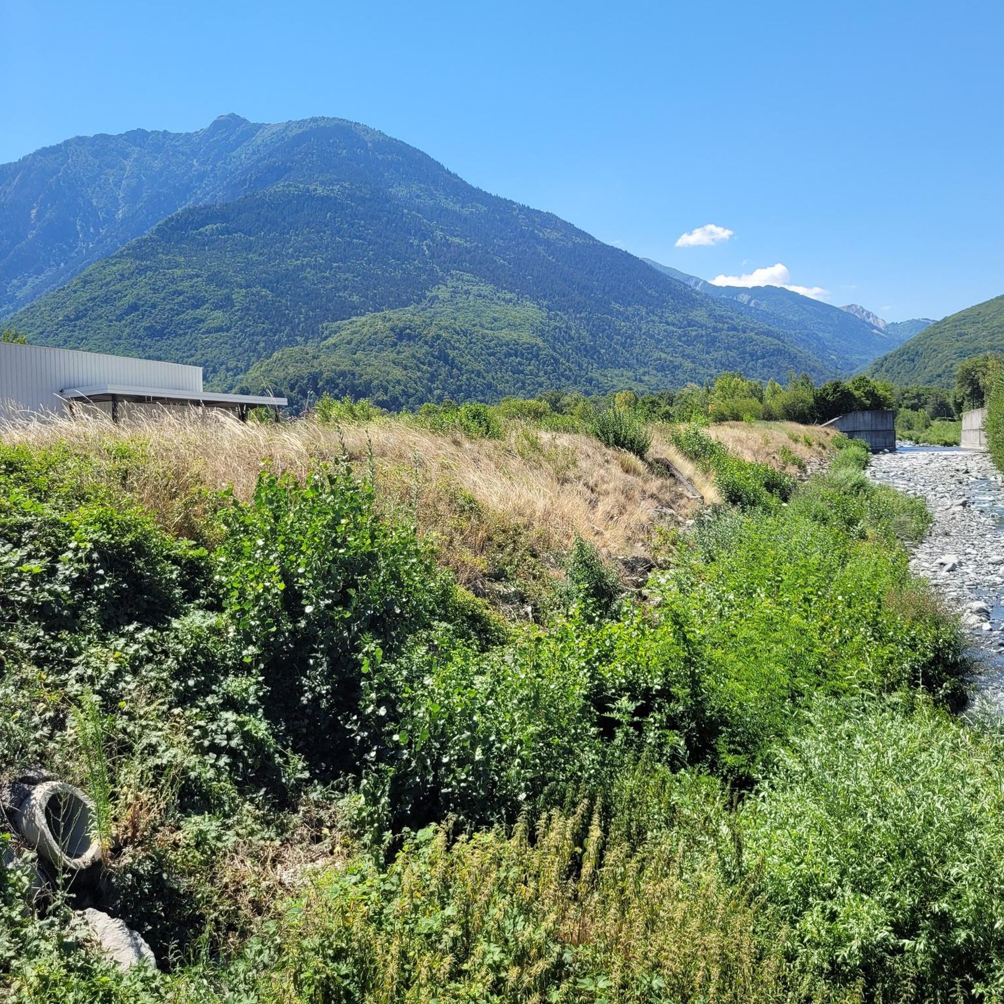
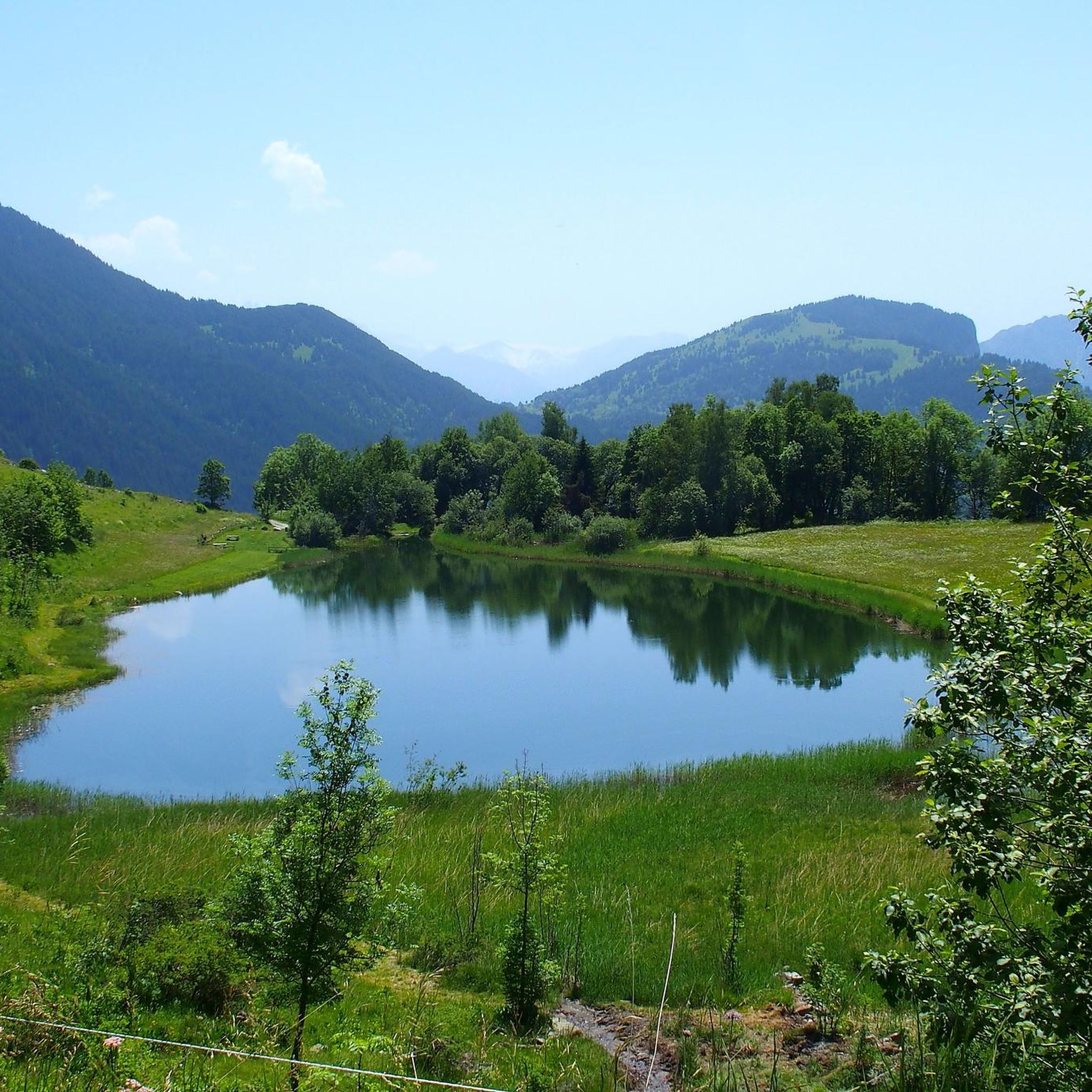
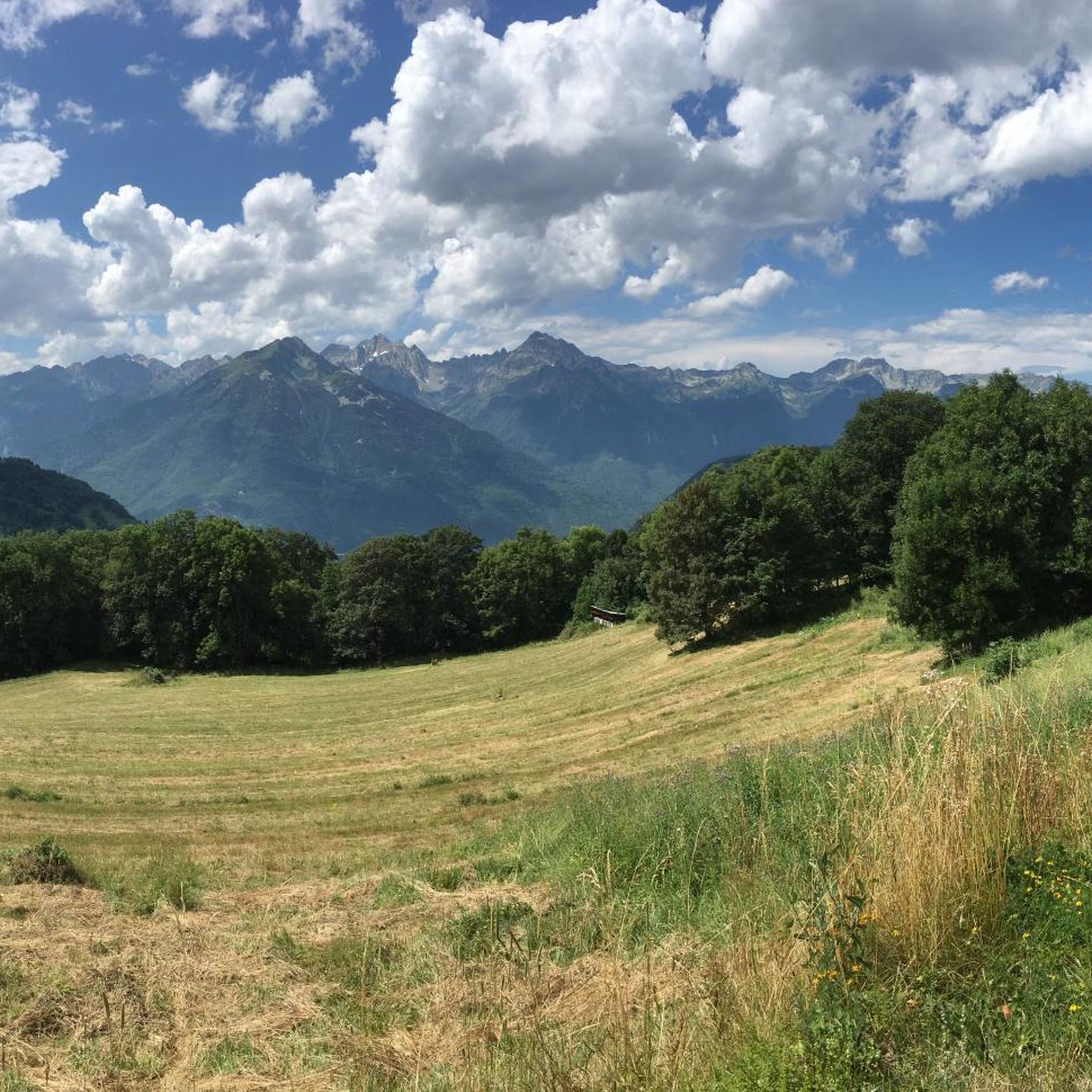
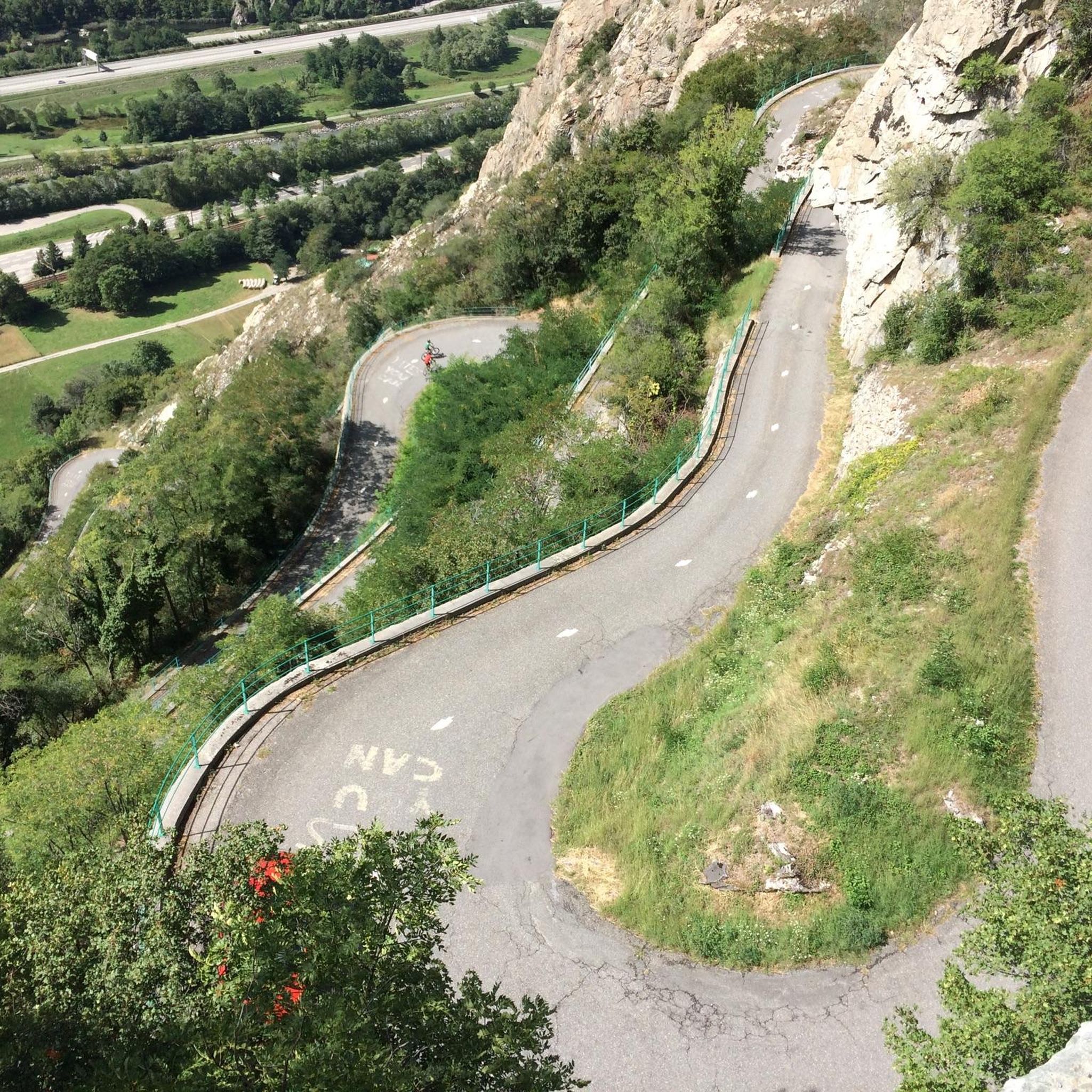

Tips from the Community

Small pump track good for children
1
0
Frequently Asked Questions
How many running routes are available around Saint-Rémy-De-Maurienne?
There are currently 11 dedicated running routes around Saint-Rémy-De-Maurienne listed on Komoot. These routes offer a variety of experiences, from easy loops to challenging mountain ascents, catering to different fitness levels.
What kind of terrain can I expect on the jogging trails in Saint-Rémy-De-Maurienne?
The jogging trails in Saint-Rémy-De-Maurienne offer diverse terrain, ranging from 360 meters to 2800 meters in altitude. You'll find numerous forest trails, marked tracks winding through forests and mountain pastures, and routes with significant elevation changes, especially in the foothills of the Belledonne chain.
Are there any easy running routes suitable for beginners or a relaxed jog?
Yes, for an easier and more relaxed run, consider the Lac Vert loop from Saint-Rémy-de-Maurienne. This path is approximately 4.7 km long with minimal elevation gain, making it ideal for a gentle jog or for those new to running in the area.
What are some challenging running routes for experienced trail runners?
Experienced trail runners looking for a challenge can explore routes with significant elevation. The Grivolley ascent – Saint-Rémy loop from Les Chavannes-en-Maurienne is a difficult 23.6 km trail with over 1000 meters of elevation gain. Another demanding option is the Grivolley ascent loop from Les Chavannes-en-Maurienne, which covers 15.6 km with 600 meters of ascent.
Are there any circular running routes in the Saint-Rémy-De-Maurienne area?
Many of the running routes around Saint-Rémy-De-Maurienne are circular, allowing you to start and finish at the same point. Examples include the easy Lac Vert loop from Saint-Rémy-de-Maurienne and the more challenging Saint-Rémy loop from Saint-Rémy-de-Maurienne.
What do other runners say about the trails in Saint-Rémy-De-Maurienne?
The running routes in Saint-Rémy-De-Maurienne are highly rated by the Komoot community, with an average score of 4.6 stars from 5 reviews. Nearly 1,000 runners have used Komoot to explore the varied terrain, often praising the scenic beauty of the Maurienne valley and the diverse options available for all abilities.
Are there any notable landmarks or points of interest along the running routes?
While running, you can encounter several impressive natural and man-made features. Highlights include the famous Montvernier Hairpins and various mountain passes like Col du Chaussy and Col de la Madeleine, offering stunning views of the alpine landscape.
Can I find routes that avoid major roads for a more natural running experience?
Yes, the region is known for its extensive network of trails designed to avoid major roads. Many routes wind through forests and mountain pastures, providing a serene and natural environment for your run. The picturesque villages and landscapes of the Maurienne valley are best explored on these dedicated paths.
What is the best time of year for running in Saint-Rémy-De-Maurienne?
Saint-Rémy-De-Maurienne is suitable for outdoor activities for much of the year. While specific seasonal advice isn't available, the presence of supervised swimming at Lac Bleu during summer suggests warmer months are popular. The varied terrain means you can find suitable routes in spring, summer, and autumn, with winter offering opportunities for snowshoeing or specific winter trail running depending on conditions.
Are there any moderate running routes for those looking for a balanced challenge?
Yes, for a balanced challenge, consider routes like the Running loop from Les Chavannes-en-Maurienne. This moderate trail covers approximately 12.1 km with around 88 meters of elevation gain, offering a good workout without the extreme demands of the more difficult mountain ascents.
Where can I find more information about the Saint-Rémy-De-Maurienne area?
For general information about the Saint-Rémy-De-Maurienne area, including local amenities and activities, you can visit the official tourism website: tourisme-la-chambre.com.
Most popular routes around Saint-Rémy-De-Maurienne
Most popular attractions around Saint-Rémy-De-Maurienne

Get inspired with the komoot mobile app


Explore more
Browse the best Running Trails & Routes in other regions.
