The best mountain hikes around Saint-Colomban-Des-Villards
4.6
(16)
108
hikers
16
hikes
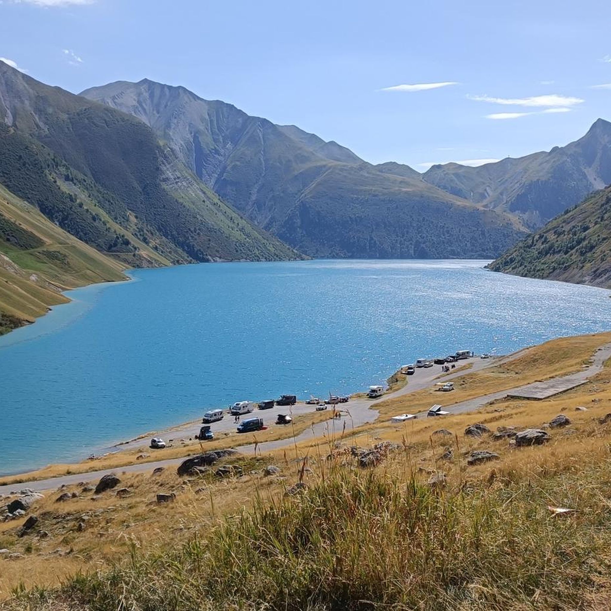
Mountaineering routes Saint-Colomban-Des-Villards are set within the authentic Savoyard village, nestled in the Villards Valley of the Northern Alps. The region is characterized by a chain of high summits, including the Cîme de Sambuis, and offers views of the Col du Glandon and Col de la Croix de Fer. Diverse terrain includes alpine chalets, forests, and high mountain lakes, providing a varied landscape for vertical exploration. This unspoiled natural setting is ideal for those seeking an intimate connection with the mountains.
Best mountaineering routes around Saint-Colomban-Des-Villards
- The most popular mountaineering route is Peak of the Beautiful Star loop from Le Pleynet, a 6.7 miles (10.9 km) trail that takes 6 hours 46 minutes to complete. This difficult route features a challenging ascent with panoramic views of the surrounding peaks.
- Another top favourite among local mountaineers is Refuge de la Combe Madame – Le Rocher Blanc loop from La Ferrière, a difficult 12.1 miles (19.4 km) path. This extensive route traverses high alpine terrain, leading to a remote refuge.
- Local mountaineers also love the Vieille Pass – Bridge over the Bréda loop from La Ferrière, a 7.4 miles (12.0 km) trail leading through mountain passes and alongside the Bréda river, often completed in about 6 hours 17 minutes.
- Mountaineering around Saint-Colomban-Des-Villards is defined by majestic peaks, high mountain passes, and diverse alpine terrain. The network offers options for easy, moderate, and difficult ability levels.
- The routes in Saint-Colomban-Des-Villards are highly rated by the komoot community with an average score of 4.5 stars from over 21 reviews. More than 134 mountaineers have used komoot to explore Saint-Colomban-Des-Villards's varied terrain.
Last updated: July 1, 2026
4.0
(4)
18
hikers
10.8km
03:43
570m
570m
Moderate mountaineering route. Good fitness required. Easily-accessible paths. Suitable for all skill levels.
17
hikers
11.0km
06:48
1,220m
1,220m
Hard mountaineering route. Very good fitness required. Sure-footedness, sturdy shoes and alpine experience required.

Sign up for free
14
hikers
19.5km
11:27
1,790m
1,790m
Hard mountaineering route. Very good fitness required. Sure-footedness, sturdy shoes and alpine experience required.
4.5
(2)
13
hikers
12.0km
06:18
1,070m
1,070m
Hard mountaineering route. Very good fitness required. Sure-footedness, sturdy shoes and alpine experience required.
5.0
(1)
5
hikers
8.57km
03:33
710m
710m
Moderate mountaineering route. Good fitness required. Easily-accessible paths. Suitable for all skill levels.
Get access to more routes and recommendations from other explorers.
Sign up for free
Already have an account?
Our route recommendations are based on thousands of hikes, rides, and runs completed by other people on komoot.
Start today with a free account
Your next adventure awaits.
Login or Signup
Popular around Saint-Colomban-Des-Villards

Écrins, Belledonne and Vercors – HexaTrek, Hautes-Alpes
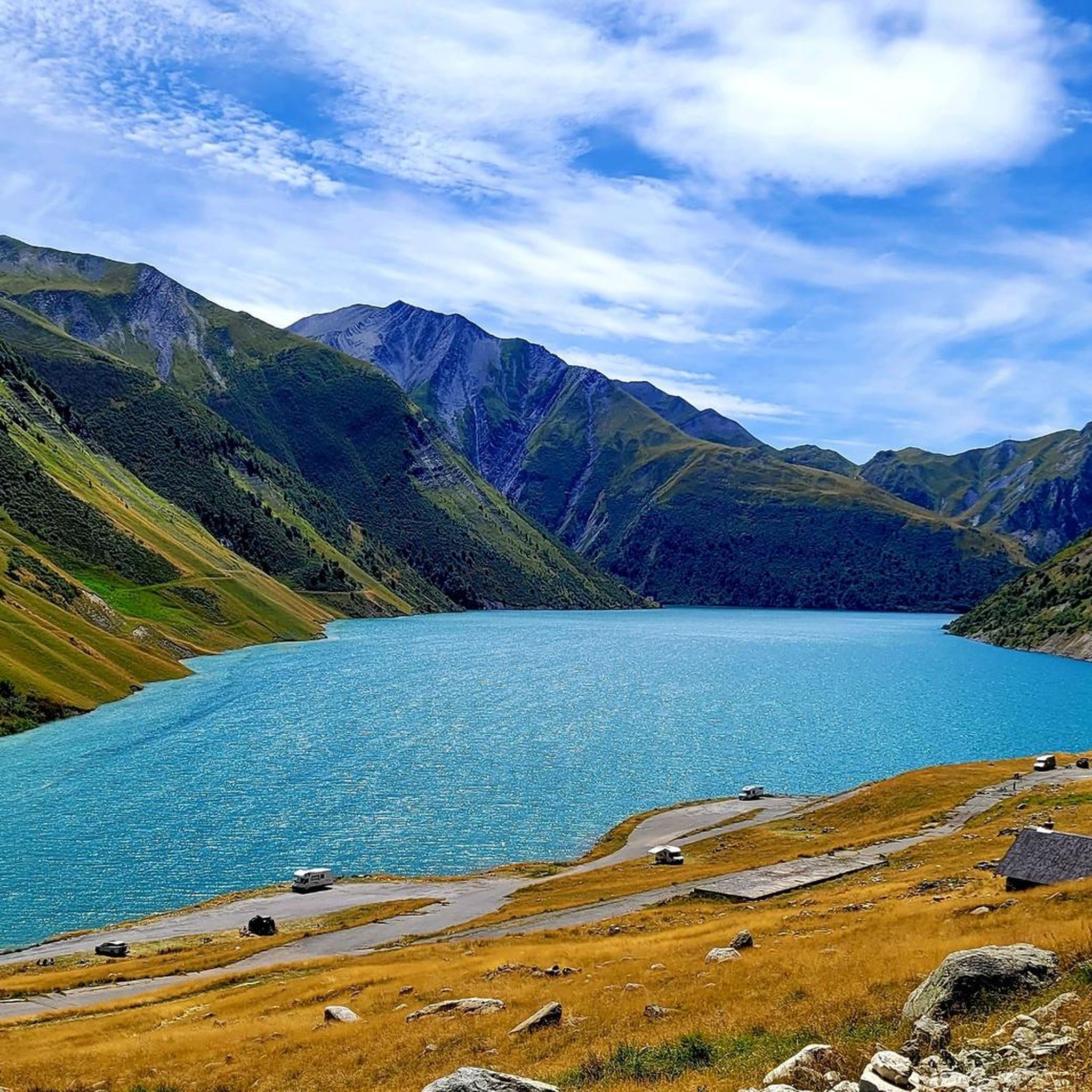
Road Cycling Routes around Saint-Colomban-Des-Villards
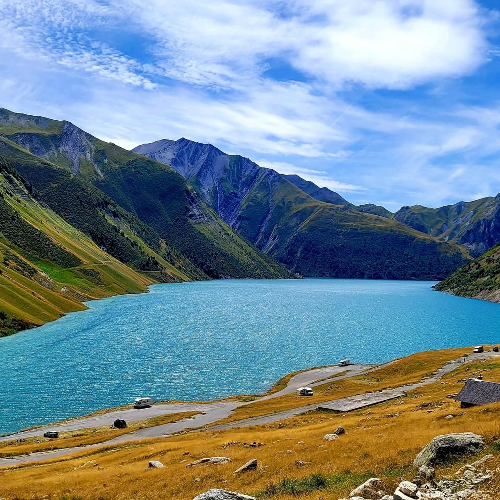
Hiking around Saint-Colomban-Des-Villards
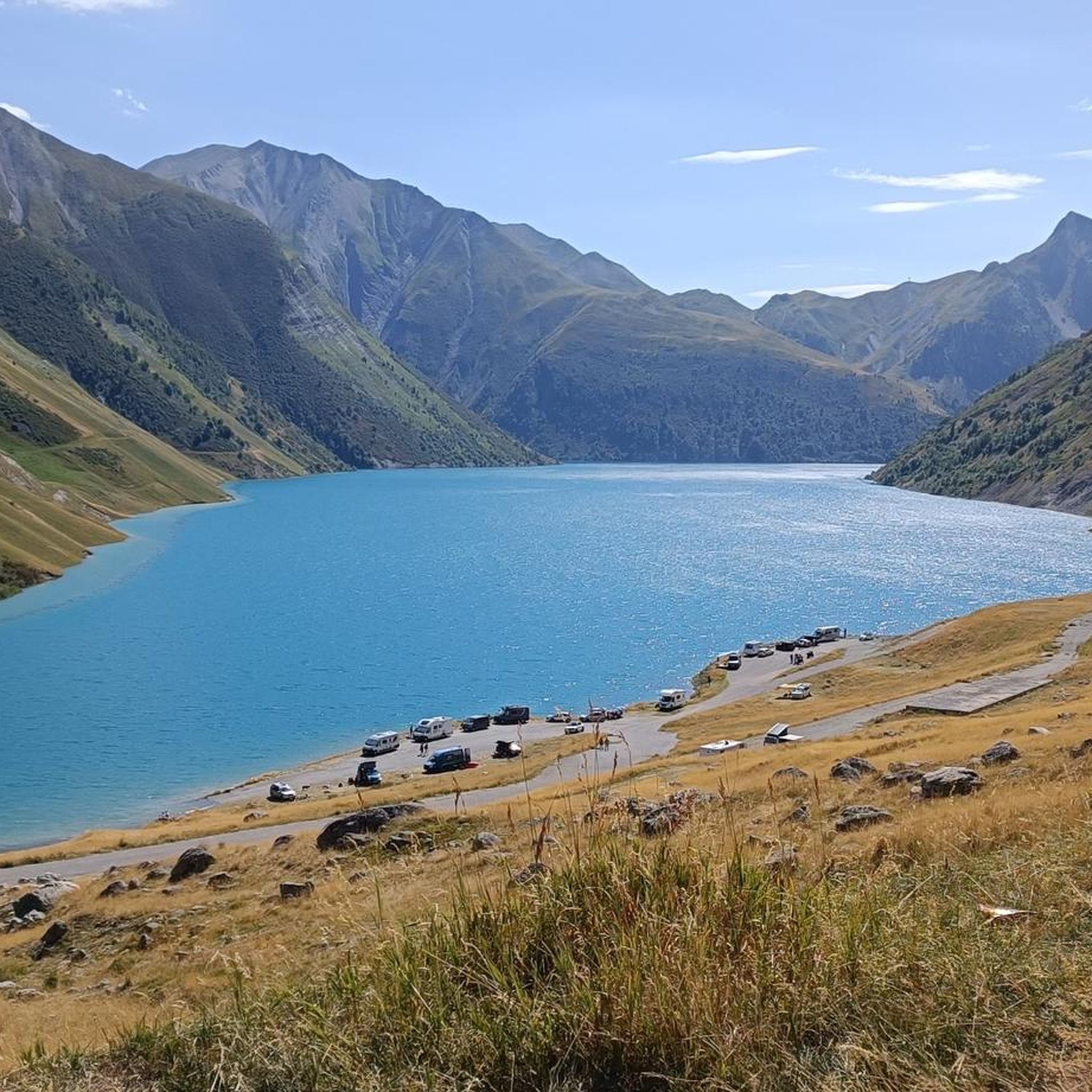
Running Trails around Saint-Colomban-Des-Villards
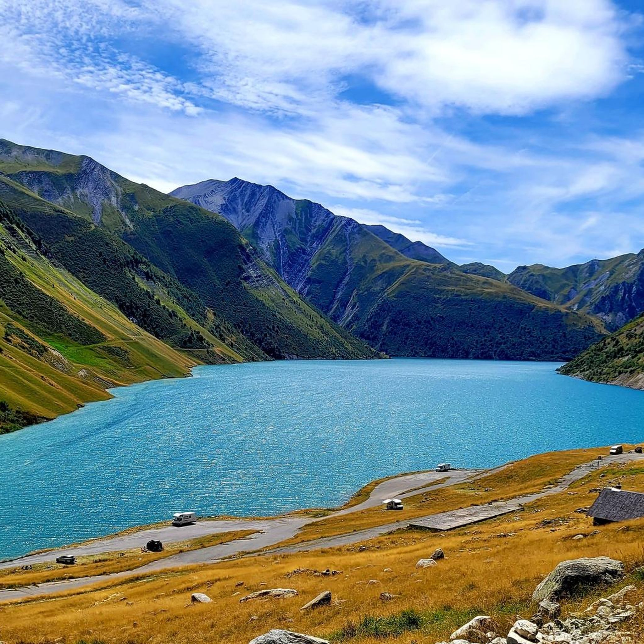
Cycling around Saint-Colomban-Des-Villards
MTB Trails around Saint-Colomban-Des-Villards

Gravel biking around Saint-Colomban-Des-Villards
Other adventures around Saint-Colomban-Des-Villards

Tips from the Community

A magical and exceptional site that absolutely must be preserved. Thank you for taking care of it.
0
0

Fabulous summit that should be climbed with caution depending on the season and snow conditions (mid-2025, still a lot of snow from the Lac de Belle Etoile). Incredible view, I recommend it. Intended for those used to hiking on T3 trails. It climbs with your hands on the Mac de l'Étoile side.
1
1

Done in ski touring, be careful ⚠️ just in case of hard snow the final slopes are a little steep.
0
0

Magnificent 360° view of the North Belledonne massifs, the Grésivaudan valley overlooked by the long cliff of Chartreuse, the Bauges and the foot of Bugey behind the lake of the same name...
0
0


Very nice climb. The road to the top changes with the landscape and gradually becomes less good. No more loose gravel seen. No problem at all on the way up, but pay close attention at first on the descent. There was minimal traffic.
1
0

Very demanding climb but the landscapes are worth the detour!! Much less frequented than other major passes in the Alps.
1
0

It is one of the great discoveries of the French Alps in my last decade. It is not a mountain pass because it only has one road side. On foot (or even with a Gravel bike), once you reach the top, you can reach the Lac de Grand-Maison, connecting with the final stretch of the climb to the Col de Glandon or the Col de la Croix-de-Fer . The climb to Col de Sabot has a gradient of 1,253 meters, 14.5 km in length with an average slope of 8.9%. It is a very tough port. It has 2 parts that are very well differentiated in every sense: - The first, until reaching Vaujany (about 5 km) is a very wide road, perfectly paved, with some traffic and hardly any views of the valley. - The second is a very narrow road, with a lot of gravel, hardly any traffic and views of the alpine meadows. In a quiet environment where only the sounds of the mountain can be heard.
3
1
Frequently Asked Questions
How many mountaineering routes are available around Saint-Colomban-Des-Villards?
There are over 20 mountaineering routes around Saint-Colomban-Des-Villards, catering to various skill levels from moderate to difficult. These routes offer diverse experiences across the region's majestic peaks and valleys.
What kind of terrain can I expect on mountaineering routes in Saint-Colomban-Des-Villards?
The terrain around Saint-Colomban-Des-Villards is incredibly diverse, featuring a chain of high summits, alpine chalets, dense forests, and high mountain lakes. You'll encounter challenging ascents, rocky paths, and varied landscapes that demand good fitness and alpine experience, especially on routes traversing high mountain passes.
Are there any circular mountaineering routes in the area?
Yes, many routes around Saint-Colomban-Des-Villards are circular, allowing you to return to your starting point without retracing your steps. For example, consider the challenging Peak of the Beautiful Star loop from Le Pleynet, which offers panoramic views, or the extensive Refuge de la Combe Madame – Le Rocher Blanc loop from La Ferrière.
What are some notable landmarks or viewpoints I can discover on these routes?
The region is rich in natural landmarks. Many routes offer views of the iconic Col du Glandon and Col de la Croix de Fer. You can also explore various mountain peaks such as The Grand Rock or Crêt du Poulet. The Vieille Pass – Bridge over the Bréda loop from La Ferrière, for instance, leads through mountain passes and alongside the Bréda river.
What is the best time of year for mountaineering in Saint-Colomban-Des-Villards?
The best time for mountaineering typically spans from late spring to early autumn (June to September) when the high mountain passes are generally clear of snow and weather conditions are more stable. During winter, the high valley of the Villards is popular for ski touring, offering opportunities for free riding in abundant snow, which requires specific winter mountaineering skills and equipment.
Are there any family-friendly mountaineering options?
While many mountaineering routes in this region are challenging, there are some moderate options that might be suitable for families with older, experienced children who are accustomed to mountain hiking. Always check the specific route's difficulty and elevation gain. The area's diverse terrain includes forests and streams that can offer less strenuous sections.
What do other mountaineers enjoy most about the routes in Saint-Colomban-Des-Villards?
The mountaineering routes in Saint-Colomban-Des-Villards are highly rated by the komoot community, with an average score of 4.5 stars. Reviewers often praise the unspoiled natural setting, the dramatic backdrop of high summits like the Cîme de Sambuis, and the challenging yet rewarding ascents that lead to breathtaking views of the Northern Alps.
Are there any permits required for mountaineering in this region?
Generally, permits are not required for mountaineering on established routes in the Saint-Colomban-Des-Villards area. However, it's always advisable to check with local tourist information centers or mountain guides for any specific regulations, especially if you plan to venture into protected areas or undertake more technical climbs.
Is parking available at the trailheads for these routes?
Yes, parking is typically available near the starting points of many mountaineering routes. For example, routes like the Col de la Croix de Fer (Iron Cross Pass) loop from Col de la Croix-de-Fer often have designated parking areas at the passes or nearby villages. It's recommended to arrive early during peak season to secure a spot.
Can I reach the mountaineering trailheads using public transport?
Public transport options to reach specific trailheads directly can be limited in this authentic Savoyard village. While Saint-Colomban-Des-Villards itself may be accessible by regional transport, reaching the more remote starting points for mountaineering often requires a car. It's best to check local bus schedules or consider carpooling for access to higher-altitude trailheads.
Are there any moderate mountaineering routes for those looking for a less strenuous challenge?
Yes, among the 22 routes, there are 14 classified as moderate, offering a good balance of challenge and accessibility. An example is the Col de la Croix de Fer (Iron Cross Pass) loop from Saint-Jean-d'Arves, which provides stunning views without the extreme demands of the most difficult ascents.
What are the highest peaks visible or accessible from Saint-Colomban-Des-Villards?
Saint-Colomban-Des-Villards is encircled by a chain of high summits, including the Grand Truc, the Pic de Frumezan, and the Cîme de Sambuis (2734m). These peaks, along with the Aiguilles d'Argentières, dominate the landscape and offer numerous challenges for mountaineers and spectacular views.
Most popular routes around Saint-Colomban-Des-Villards
Most popular attractions around Saint-Colomban-Des-Villards

Get inspired with the komoot mobile app


Explore more
Browse the best Mountain Hikes & Routes in other regions.
