The best walks and hikes around La Bâtie-Rolland
4.4
(334)
1,655
hikers
143
hikes
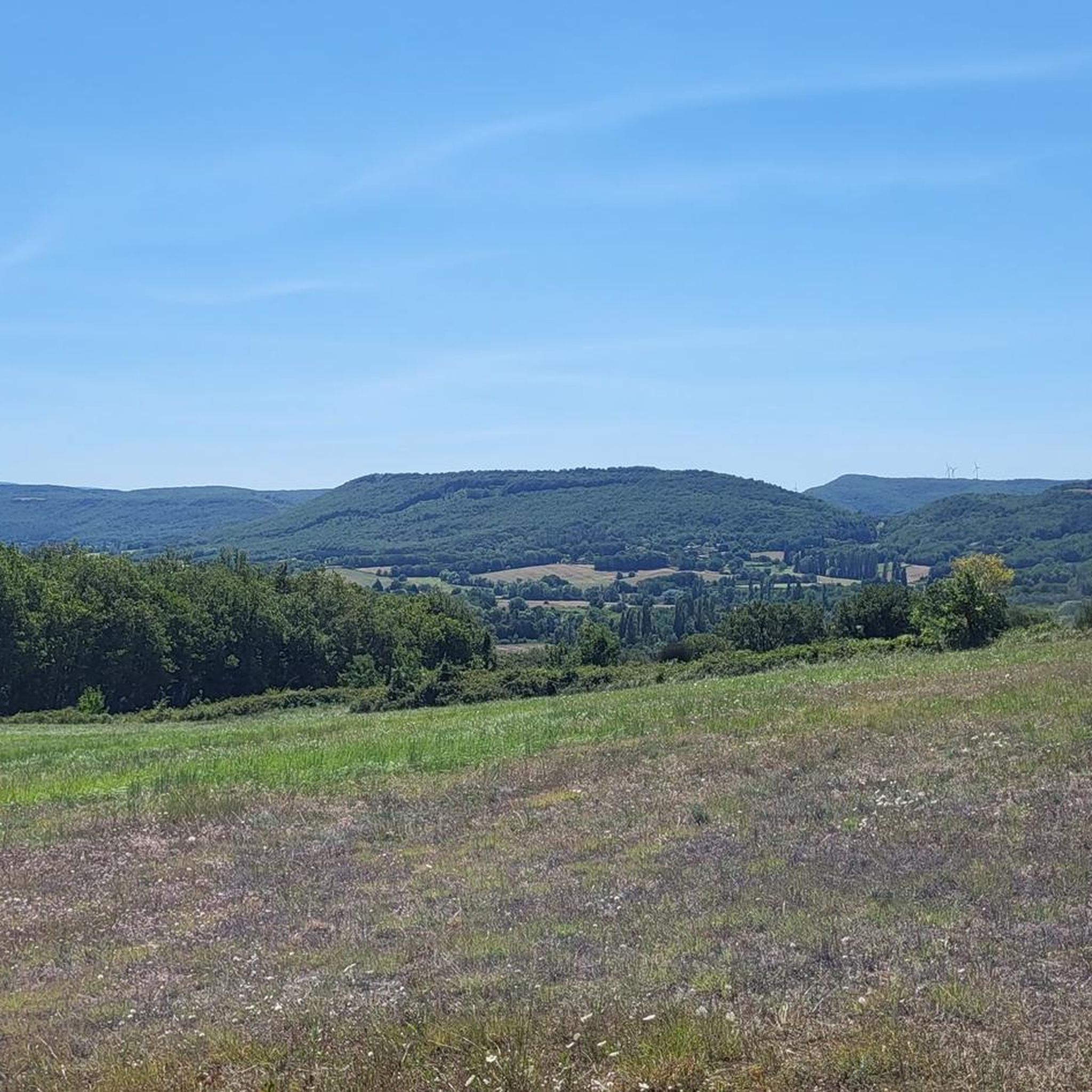
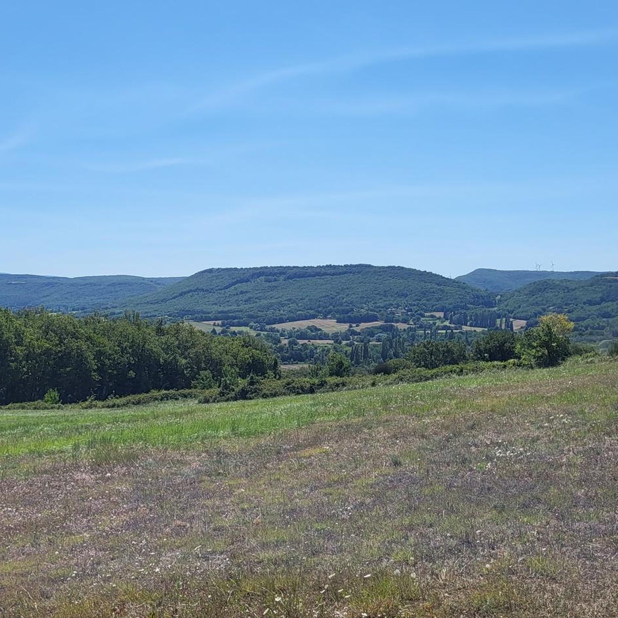
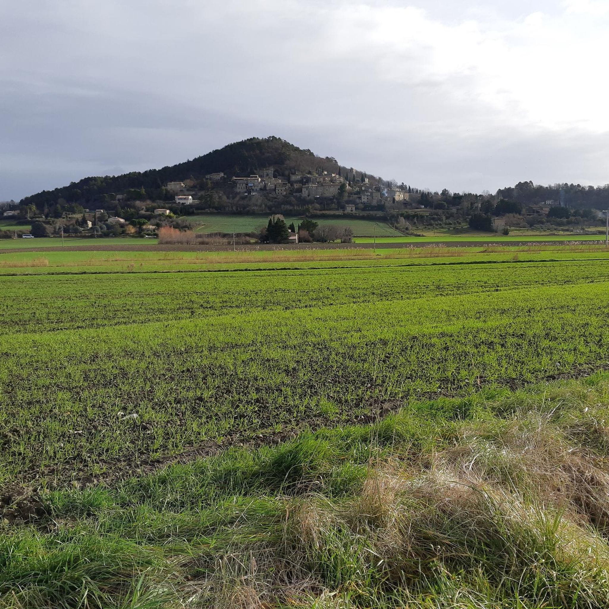
Hiking around La Bâtie-Rolland offers diverse landscapes within the Drôme Provençale region, characterized by its Mediterranean climate. The area features scenic riverside paths along the Vermenon and Jabron rivers, forests, creeks, and gorges. Prominent natural features include Le Chatelas hill, which provides panoramic views.
Best hiking trails around La Bâtie-Rolland
- The most popular hiking route is Montboycher loop from Montboucher-sur-Jabron, a 5.7 miles (9.2 km) trail that takes 2 hours 23 minutes to complete. This moderate route features a…
Last updated: August 18, 2026
4.7
(7)
24
hikers
9.16km
02:23
60m
60m
Moderate hike. Good fitness required. Easily-accessible paths. Suitable for all skill levels.
4.0
(4)
25
hikers
7.08km
01:56
110m
110m
Easy hike. Great for any fitness level. Easily-accessible paths. Suitable for all skill levels.

Sign up for free
4.3
(6)
11
hikers
8.66km
02:32
220m
220m
Moderate hike. Good fitness required. Easily-accessible paths. Suitable for all skill levels.
5.0
(1)
3
hikers
17.1km
04:41
260m
260m
Moderate hike. Good fitness required. Easily-accessible paths. Suitable for all skill levels.
5.0
(2)
4
hikers
5.05km
01:24
90m
90m
Easy hike. Great for any fitness level. Easily-accessible paths. Suitable for all skill levels.
Get access to more routes and recommendations from other explorers.
Sign up for free
Already have an account?
Our route recommendations are based on thousands of hikes, rides, and runs completed by other people on komoot.
Start today with a free account
Your next adventure awaits.
Login or Signup


Tips from the Community

only 750 m
0
0

From the small village of La Touche, after a beautiful but not very easy hike (good hiking shoes 🥾 / sure-footedness) you reach this beautiful castle ruin over a rocky ridge. The well-preserved/renovated tower is open for free visits at certain times (currently: 2:30 p.m. - 5:00 p.m. except on Saturdays and Sundays).
2
1

This very fine example of a fortified castle is old: the keep and its enclosure date from the 12th century. The very pretty Saint-Blaise chapel is also part of the site and can be visited. From the ruins of this building, you will have a very beautiful view of the Rhône valleys and those surrounding them.
0
0

Beautiful historic site and view of the region. Good starting point or destination for hiking or mountain biking
0
0
Frequently Asked Questions
How many hiking trails are available around La Bâtie-Rolland?
There are nearly 140 hiking trails around La Bâtie-Rolland, offering a wide range of options for all skill levels. This includes 63 easy routes, 62 moderate routes, and 12 more challenging excursions.
What kind of terrain can I expect on the trails in La Bâtie-Rolland?
The terrain around La Bâtie-Rolland is diverse, featuring scenic riverside paths along the Vermenon and Jabron rivers, forested areas, and hills like Le Chatelas. You'll find a mix of rolling landscapes and some routes with more significant elevation changes, offering varied experiences from gentle strolls to more strenuous climbs.
Are there any easy, family-friendly hikes in the area?
Yes, La Bâtie-Rolland offers many easy options suitable for families. An accessible choice is the Belfry or Clock Tower – Soustet Archway loop from La Bégude-de-Mazenc, which is 4.5 km long. Another great option is the Château de Puygiron – Saint-Bonnet Church loop from Puygiron, a 7.1 km trail leading through historic landmarks.
What are some notable landmarks or viewpoints I can discover while hiking?
While hiking, you can explore several interesting landmarks. The village itself is overlooked by the ruins of a 13th-century fortified castle. For panoramic views, hike up Le Chatelas hill, which offers a magnificent 220° vista. You can also visit the historic Chapelle Saint-Roch on Le Chatelas or the Romanesque-style Chapelle Saint-Andéol. Nearby, you might encounter attractions like Adhémar Castle or the charming Marsanne, Hilltop Village.
What is the best time of year to go hiking in La Bâtie-Rolland?
La Bâtie-Rolland, located in the Drôme Provençale, benefits from a Mediterranean climate with abundant sunshine. Spring and autumn are ideal for hiking, offering pleasant temperatures and vibrant landscapes. Summers are hot and dry, making early morning or late afternoon hikes preferable during this season.
Are there any circular walks available?
Yes, many of the trails around La Bâtie-Rolland are circular. Examples include the moderate Montboycher loop from Montboucher-sur-Jabron (9.2 km) and the easier Belfry or Clock Tower – Soustet Archway loop from La Bégude-de-Mazenc (4.5 km). These loops allow you to start and end your hike in the same location.
What do other hikers say about the trails in La Bâtie-Rolland?
The trails in La Bâtie-Rolland are highly rated by the komoot community, with an average score of 4.6 stars from over 270 reviews. Hikers often praise the diverse landscapes, the well-maintained paths, and the opportunities to explore both natural beauty and historic sites.
Are there any longer, more challenging routes for experienced hikers?
While the majority of routes are easy to moderate, there are 12 difficult trails for those seeking a greater challenge. For a moderate option that is longer, consider the Montboycher – Hardly any water in the riverbed loop from Montboucher-sur-Jabron, which spans 10.2 km.
Is there parking available at the trailheads?
While specific parking details for every trailhead are not listed, La Bâtie-Rolland and its surrounding villages typically offer public parking options. It's advisable to check local signage or maps for designated parking areas near your chosen starting point.
Can I access the hiking trails using public transport?
Access to La Bâtie-Rolland and its trailheads via public transport might be limited, as is common in many rural French regions. While there are bus routes serving the Drôme area, direct connections to specific trailheads may require planning. It's recommended to check local bus schedules for services to La Bâtie-Rolland or nearby towns like Montélimar, and then consider local options or a short drive to reach your desired starting point.
What types of natural features will I encounter on the hikes?
You'll encounter a rich variety of natural features, including the Vermenon and Jabron rivers, which offer pleasant riverside paths. The region is characterized by a mix of forests, creeks, and gorges. The prominent Le Chatelas hill provides elevated views, and the broader Drôme region is known for its Mediterranean flora and abundant sunshine.
Are there any historical sites to explore near the hiking routes?
Absolutely. The area is rich in history. You can explore the ruins of a 13th-century fortified castle overlooking La Bâtie-Rolland, the Chapelle Saint-Roch on Le Chatelas, and the Romanesque-style Chapelle Saint-Andéol. The nearby town of Montélimar also features a 12th-century castle and a charming old town, which can be combined with your hiking excursions.
Most popular routes around La Bâtie-Rolland
Most popular attractions around La Bâtie-Rolland

Get inspired with the komoot mobile app


Explore more
Browse the best Hikes in other regions.
