The best walks and hikes around Ayrens
4.4
(146)
1,014
hikers
53
hikes
Hiking around Ayrens, located in the Auvergne-Rhône-Alpes region of south-central France, offers varied terrain for outdoor activities. The commune features agricultural lands and extensive forested areas, particularly in its northern parts. Elevations range from 517 to 729 meters, with several waterways like the Ruisseau du Meyrou and Ruisseau d'Ayrens flowing through the landscape. The broader Cantal region is known for its volcanic terrain, providing diverse mountain, plateau, and valley trails.
Best hiking trails around Ayrens
- The most popular hiking route…
Last updated: June 30, 2026
4.5
(13)
102
hikers
11.1km
02:59
140m
140m
Moderate hike. Good fitness required. Easily-accessible paths. Suitable for all skill levels.
4.6
(5)
38
hikers
6.70km
01:47
70m
70m
Easy hike. Great for any fitness level. Easily-accessible paths. Suitable for all skill levels.

Sign up for free
4.4
(7)
42
hikers
5.20km
01:25
80m
80m
Easy hike. Great for any fitness level. Easily-accessible paths. Suitable for all skill levels.
10
hikers
5.86km
01:36
90m
90m
Easy hike. Great for any fitness level. Easily-accessible paths. Suitable for all skill levels.
5.0
(1)
4
hikers
9.83km
02:44
180m
180m
Moderate hike. Good fitness required. Easily-accessible paths. Suitable for all skill levels.
Get access to more routes and recommendations from other explorers.
Sign up for free
Already have an account?
Our route recommendations are based on thousands of hikes, rides, and runs completed by other people on komoot.
Start today with a free account
Your next adventure awaits.
Login or Signup


Tips from the Community

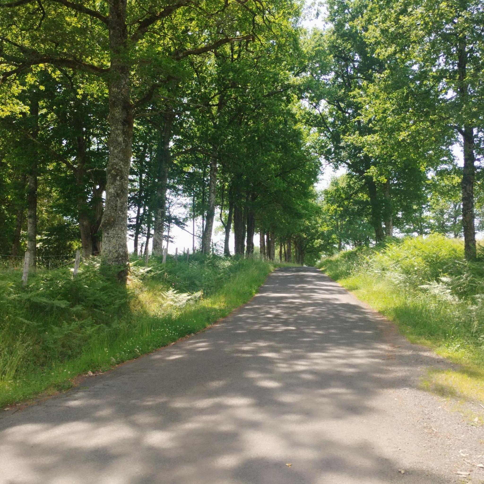
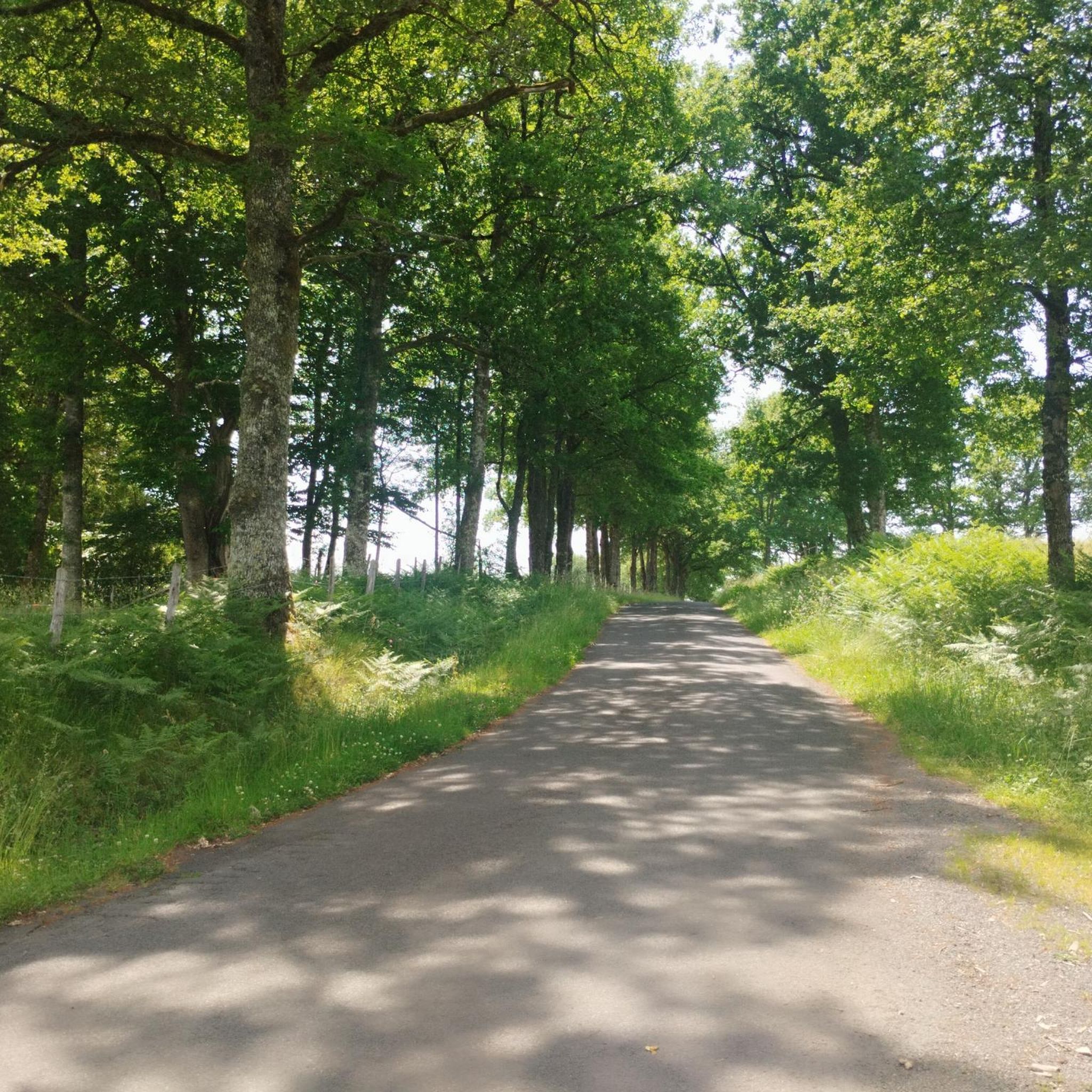
Hello, I was inspired by these tracks for a road bike ride. I had to dismount to cross the Renâcle peninsula, the footbridge, and reach Espinet beach. Otherwise, it was a very pleasant ride on quiet, quiet roads. Thanks to the trackers.
0
0

Himalayan footbridge of 124 meters, which crosses the Lake of St Etienne Cantalès to connect the beaches of Espinet and Rénac.
1
0
Frequently Asked Questions
How many hiking trails are there in Ayrens?
Ayrens offers a wide variety of hiking experiences, with over 50 routes available. These trails cater to different fitness levels, from easy strolls to more challenging paths.
What kind of terrain can I expect on hikes in Ayrens?
The terrain around Ayrens, located in the Auvergne-Rhône-Alpes region, is characterized by agricultural lands and extensive forested areas, particularly in its northern parts. You'll find varied elevations ranging from 517 to 729 meters, with several scenic waterways like the Ruisseau du Meyrou and Ruisseau d'Ayrens, and routes around Lake Cantalès.
Are there any interesting landmarks or natural features to see while hiking near Ayrens?
Yes, several notable features enhance the hiking experience. You can explore the impressive Himalayan suspension bridge at Lake Cantalès, which offers unique views. The charming medieval town of Laroquebrou, with its castle and panoramic viewpoints, is also nearby. Additionally, you might encounter the 19th-century Château de Laroquebrou.
Are there family-friendly hiking options in Ayrens?
Absolutely. Ayrens has numerous easy trails suitable for families. For instance, the Suspended Footbridge loop from Saint-Étienne-Cantalès is an easy 4.0 km path offering pleasant views of Lake Saint-Étienne Cantalès, perfect for a family outing.
Are there circular hiking routes available in Ayrens?
Yes, many of the trails in Ayrens are circular, allowing you to start and end at the same point. Popular options include the Suspended Footbridge loop from Saint-Gérons, which is a moderate 11.7 km route, and the easier Plage du Puech des Ouilhes loop from Lacapelle-Viescamp.
What is the best time of year to go hiking in Ayrens?
The Auvergne-Rhône-Alpes region generally offers pleasant hiking conditions from spring through autumn. Spring brings blooming landscapes, while summer is ideal for enjoying the lakes and forests. Autumn provides beautiful foliage. Winter hiking is possible, but some trails might be less accessible depending on snow conditions.
Can I bring my dog on hiking trails in Ayrens?
While specific regulations for dogs on trails in Ayrens are not detailed, generally, dogs are welcome on many outdoor paths in France, especially in rural and forested areas. It's always advisable to keep them on a leash, especially near livestock or in nature-sensitive zones, and to carry waste bags. Check local signage for any specific restrictions.
Are there places to eat or stay near the hiking trails in Ayrens?
Ayrens itself is a commune with agricultural lands, but nearby towns offer amenities. Laroquebrou, a 'small city of character' along the Cère river, has charming medieval streets and likely offers dining options. The larger town of Aurillac, about 15 km southeast, provides more extensive choices for cafes, restaurants, and accommodation.
What do other hikers say about the trails in Ayrens?
The routes in Ayrens are highly rated by the komoot community, with an average score of 4.4 stars from over 100 reviews. Hikers often praise the varied terrain, the scenic routes along rivers and Lake Cantalès, and the options available for different ability levels.
Are there any easy hikes around Lake Cantalès?
Yes, Lake Cantalès is a popular spot for easy walks. The Suspended Footbridge loop from Saint-Étienne-Cantalès is an easy 6.7 km trail that takes about 1 hour 47 minutes, leading through varied terrain near the lake. Another easy option is the Suspended Footbridge loop from Saint-Gérons, which is 6.5 km long.
Is parking available at trailheads in Ayrens?
While specific parking areas for every trailhead are not detailed, it is generally possible to find parking in or near the villages and popular starting points for hikes in rural French communes like Ayrens, especially near attractions like Lake Cantalès or the towns of Saint-Gérons and Saint-Étienne-Cantalès. Look for designated parking zones or roadside parking where permitted.
How can I reach hiking trailheads in Ayrens using public transport?
Public transport options directly to remote trailheads in Ayrens may be limited due to its rural nature. The nearest larger town, Aurillac, serves as a regional hub and may offer bus connections to some surrounding villages. For specific trailheads, a car is often the most convenient way to access them. It's recommended to check local bus schedules from Aurillac to villages like Saint-Gérons or Saint-Étienne-Cantalès if you plan to rely on public transport.
Most popular attractions around Ayrens

Get inspired with the komoot mobile app


Explore more
Browse the best Hikes in other regions.
