The best walks and hikes around Notre-Dame-Du-Cruet
4.5
(421)
3,981
hikers
150
hikes
Hiking around Notre-Dame-Du-Cruet offers diverse landscapes within the Maurienne valley in south-eastern France. The region features mountainous terrain with elevations ranging from approximately 557 to 1000 meters, providing panoramic views. Key natural features include the Lac de la Grande Léchère and access to the Massif de la Lauzière. The area provides a variety of trails, from accessible paths to more demanding routes with significant elevation gains.
Best hiking trails around Notre-Dame-Du-Cruet
- The most popular hiking route is Lac de la…
Last updated: July 2, 2026
5.0
(1)
11
hikers
7.89km
02:37
370m
370m
Moderate hike. Good fitness required. Easily-accessible paths. Suitable for all skill levels.
5.0
(1)
12
hikers
17.8km
06:42
1,170m
1,170m
Hard hike. Very good fitness required. Mostly accessible paths. Sure-footedness required.

Sign up for free
10
hikers
9.91km
03:37
620m
620m
Moderate hike. Good fitness required. Easily-accessible paths. Suitable for all skill levels.
5.0
(1)
8
hikers
17.0km
06:39
1,210m
1,210m
Hard hike. Very good fitness required. Easily-accessible paths. Suitable for all skill levels.
4.0
(1)
10
hikers
5.57km
01:38
160m
160m
Easy hike. Great for any fitness level. Easily-accessible paths. Suitable for all skill levels.
Get access to more routes and recommendations from other explorers.
Sign up for free
Already have an account?
Our route recommendations are based on thousands of hikes, rides, and runs completed by other people on komoot.
Start today with a free account
Your next adventure awaits.
Login or Signup
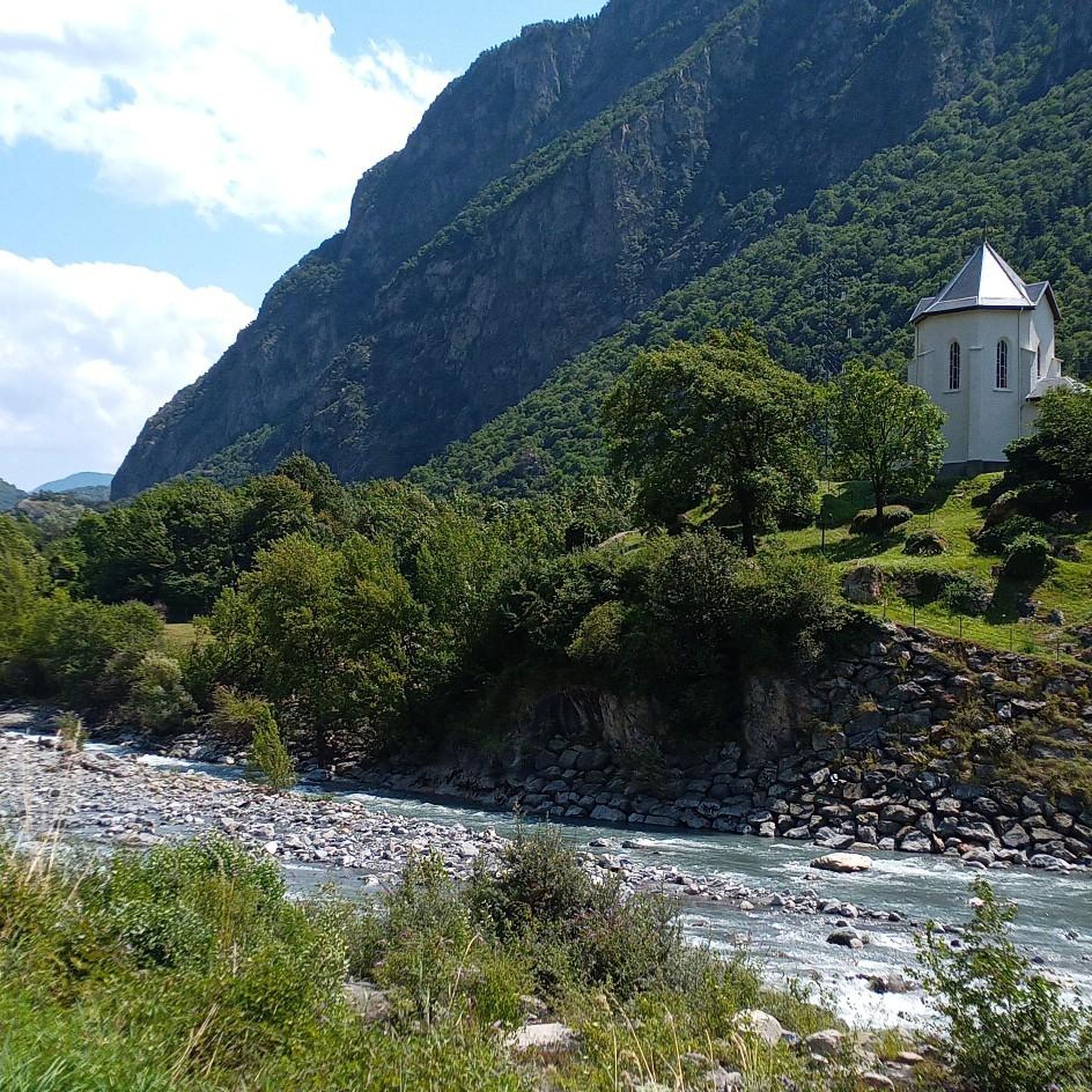
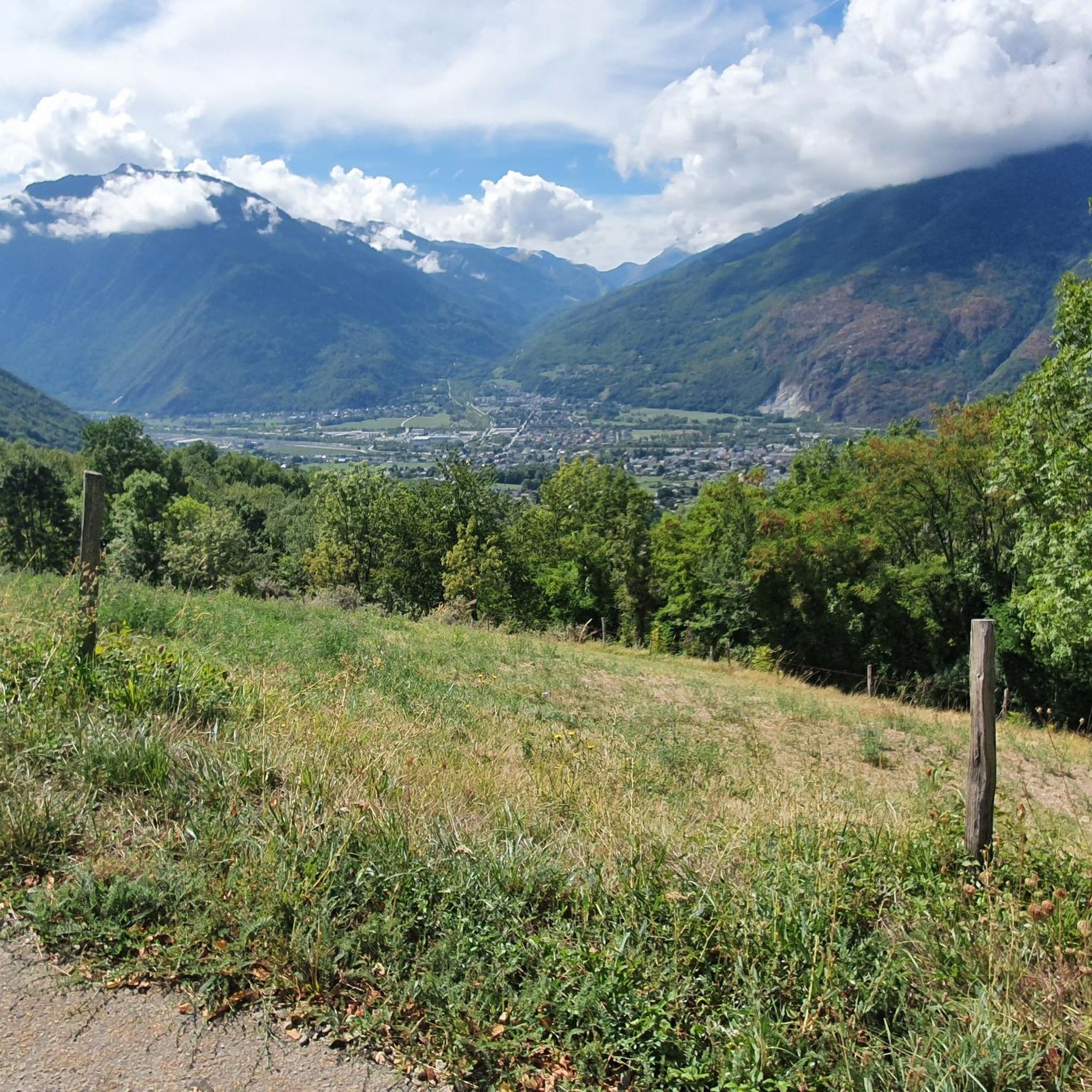
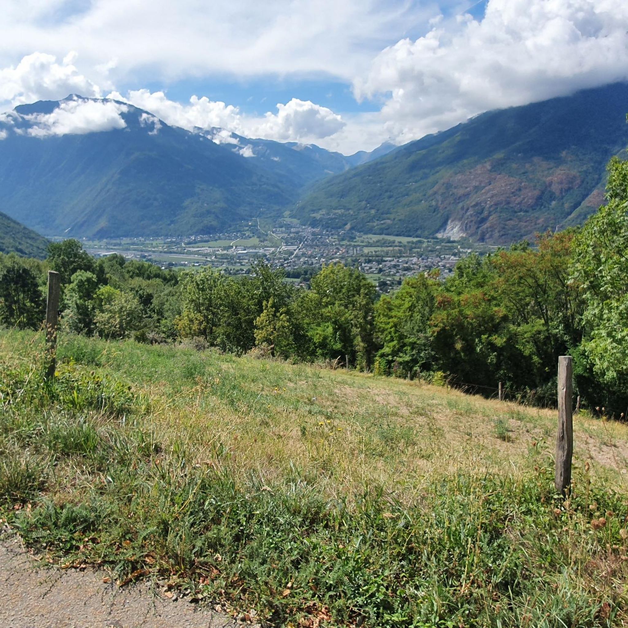

Tips from the Community

Church worth seeing.
2
0

No information...
0
0
I don't know if the route from the bottom is free again but access, by road, is easy.
0
0

Very beautiful chapel with the largest coat of arms in Savoy
0
0
Small pump track good for children
1
0
Frequently Asked Questions
How many hiking trails are available in Notre-Dame-Du-Cruet?
Notre-Dame-Du-Cruet offers a wide selection of hiking trails, with over 120 routes available. These range from easy walks to more challenging alpine experiences, catering to various fitness levels.
What kind of terrain and elevation can I expect on hikes in Notre-Dame-Du-Cruet?
The terrain around Notre-Dame-Du-Cruet is mountainous, situated in the Maurienne valley, with altitudes ranging from approximately 557 to 1000 meters. You can expect varied ascents, with trails categorized by difficulty. Easy routes have up to 300 meters of elevation gain, moderate routes up to 900 meters, and hard routes can involve over 900 meters of elevation gain, sometimes exceeding 1,200 meters on longer loops.
Are there any easy or beginner-friendly hiking routes in the area?
Yes, the area provides easily accessible paths suitable for all skill levels. For example, the Hiking loop from Villette is an easy 5.4 km trail with moderate elevation, perfect for beginners or a relaxed walk.
Can I find circular hiking routes around Notre-Dame-Du-Cruet?
Absolutely. Many prominent hiking loops revolve around the Lac de la Grande Léchère. Options include the moderate Lac de la Grande Léchère loop from Le Mollaret (7.9 km) or the Lac de la Grande Léchère loop from Montgellafrey (9.9 km). For a more challenging circular route, consider the Lac de la Grande Léchère loop from Saint-Martin-sur-la-Chambre (17.6 km).
What natural landmarks or viewpoints can I discover while hiking?
Hikers can enjoy breathtaking panoramic views of the surrounding mountains and the Maurienne valley. A significant natural feature is the Lac de la Grande Léchère, around which several trails are centered. The area also provides access to the larger Massif de la Lauzière for more extensive mountainous experiences.
Are there historical sites to explore on the trails?
Yes, you can explore historical sites while hiking. A notable path leads to the Chapel du Cuchet, which offers fantastic views and includes orientation tables. Along this route, you can also find the remains of an old feudal château, typical of 11th and 12th-century Savoyard construction, located on the rock face below the chapel.
Is Notre-Dame-Du-Cruet a good destination for family hikes?
Yes, the diverse range of trails includes options suitable for families. There are easy paths with minimal elevation gain, perfect for shorter walks with children. Always check the specific route details for distance and elevation to ensure it matches your family's ability.
Are dogs allowed on the hiking trails in Notre-Dame-Du-Cruet?
Generally, dogs are welcome on many hiking trails in the region. However, it's always advisable to keep them on a leash, especially in areas with livestock or protected wildlife. Specific regulations might apply in certain natural reserves or around the Lac de la Grande Léchère, so look for local signage.
What is the best time of year to go hiking in Notre-Dame-Du-Cruet?
The region benefits from a microclimate that fosters rich vegetation, making spring, summer, and early autumn ideal for hiking. During these seasons, the trails are generally clear, and the weather is pleasant for outdoor activities. Winter hiking might be possible on lower-altitude trails, but higher routes could be affected by snow and require appropriate gear and experience.
What do other hikers say about their experience in Notre-Dame-Du-Cruet?
The hiking routes in Notre-Dame-Du-Cruet are highly rated by the komoot community, with an average score of 4.6 stars from over 400 reviews. Hikers often praise the stunning mountainous scenery, the variety of trails around Lac de la Grande Léchère, and the options available for different ability levels.
Are there options for challenging or longer hikes?
Definitely. For those seeking a more demanding experience, there are difficult routes involving substantial elevation gains. Examples include the Lac de la Grande Léchère loop from Saint-Martin-sur-la-Chambre (17.6 km) or the Lac de la Grande Léchère loop from La Chambre (16.7 km), both requiring very good fitness and sturdy shoes.
Where can I find parking for hiking trails in Notre-Dame-Du-Cruet?
While specific parking information for each trailhead isn't detailed here, many hiking routes, especially those starting from villages like Le Mollaret, Saint-Martin-sur-la-Chambre, Montgellafrey, or La Chambre, typically have designated parking areas nearby. It's recommended to check local signage upon arrival or consult detailed route maps for specific parking instructions.
Are there any nearby attractions worth visiting after a hike?
Beyond the immediate trails, the broader Savoie department offers other significant natural sites. You can explore nearby mountain passes such as Col du Chaussy or Col de la Madeleine. The area also features unique man-made structures like the Spectacular Cliffside Road Above Montvernier or the famous Montvernier Hairpins.
Most popular routes around Notre-Dame-Du-Cruet
Most popular attractions around Notre-Dame-Du-Cruet

Get inspired with the komoot mobile app


Explore more
Browse the best Hikes in other regions.
