The best road cycling routes around Montvernier
4.4
(507)
33,833
riders
91
rides
Road cycling routes around Montvernier are characterized by challenging alpine terrain, featuring significant mountain passes and deep valleys. The region is situated in the Maurienne Valley, offering routes that ascend to high-altitude cols and provide panoramic views of the surrounding peaks. Road cyclists can expect sustained climbs, winding roads, and descents through a landscape dominated by mountains and forested slopes.
Best road cycling routes around Montvernier
- The most popular road cycling route is Col de la Madeleine – Itinéraires pour…
Last updated: July 1, 2026

4.6
(9)
399
riders
19.8km
02:26
1,530m
10m
Hard road ride. Very good fitness required. Mostly well-paved surfaces and easy to ride.
5.0
(10)
1,439
riders
102km
06:49
3,230m
3,230m
Hard road ride. Very good fitness required. Mostly well-paved surfaces and easy to ride.

Sign up for free
4.7
(20)
1,400
riders
44.1km
02:51
1,290m
1,290m
Hard road ride. Very good fitness required. Mostly well-paved surfaces and easy to ride.
4.7
(9)
467
riders
45.5km
02:53
1,270m
1,270m
Hard road ride. Very good fitness required. Mostly well-paved surfaces and easy to ride.
3.7
(3)
230
riders
31.6km
02:18
1,170m
1,170m
Hard road ride. Very good fitness required. Some segments of this route may be unpaved and difficult to ride.
Get access to more routes and recommendations from other explorers.
Sign up for free
Already have an account?
Our route recommendations are based on thousands of hikes, rides, and runs completed by other people on komoot.
Start today with a free account
Your next adventure awaits.
Login or Signup
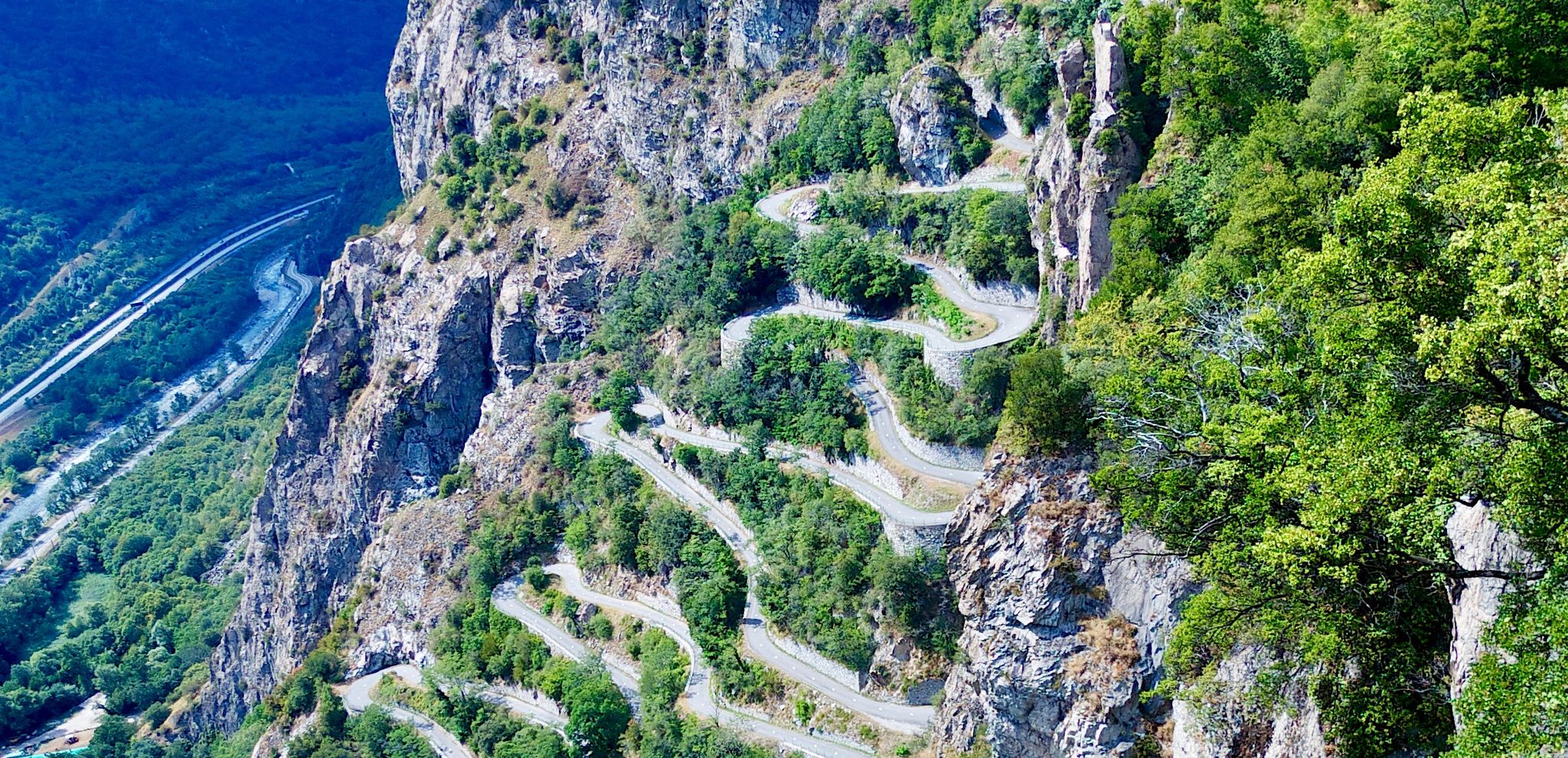
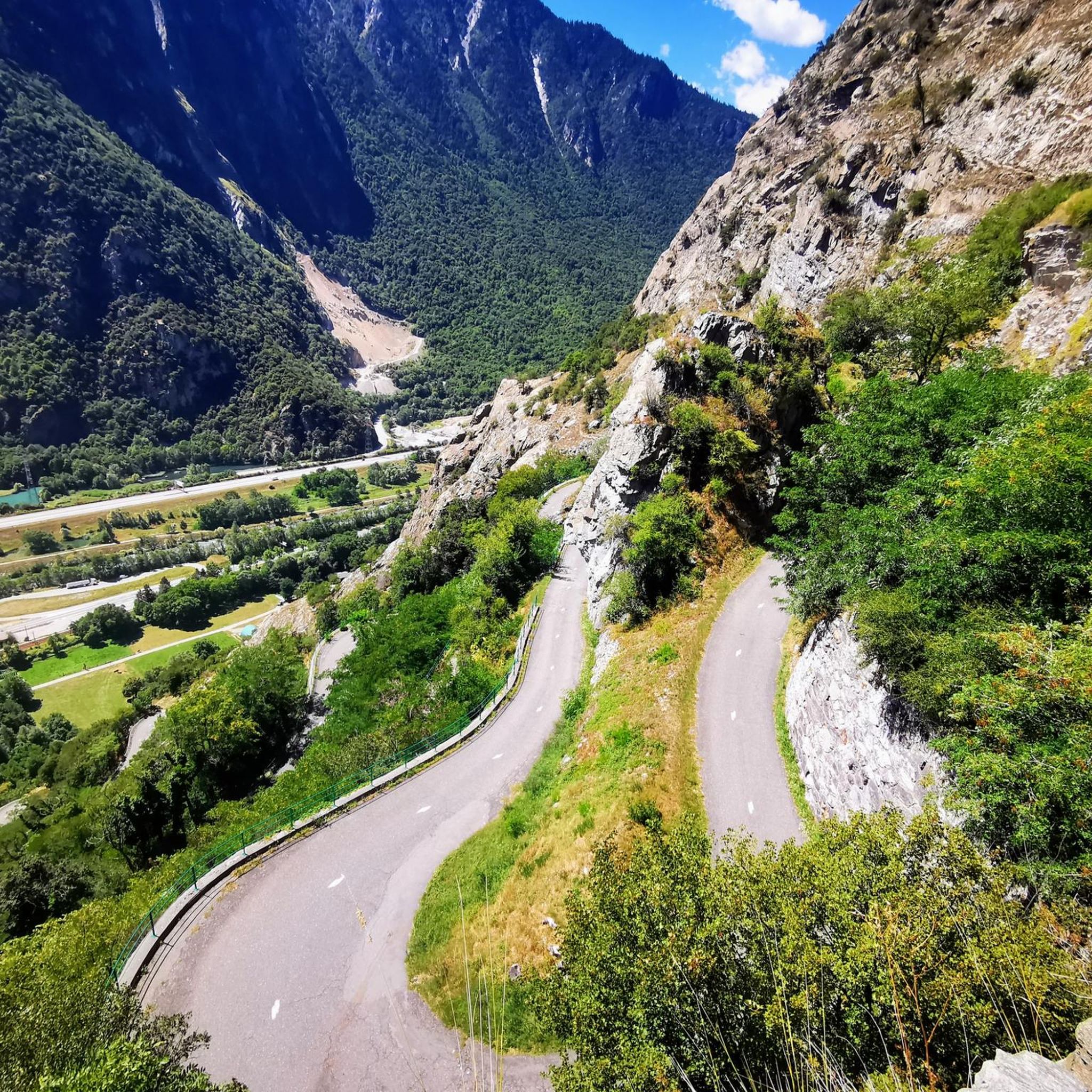
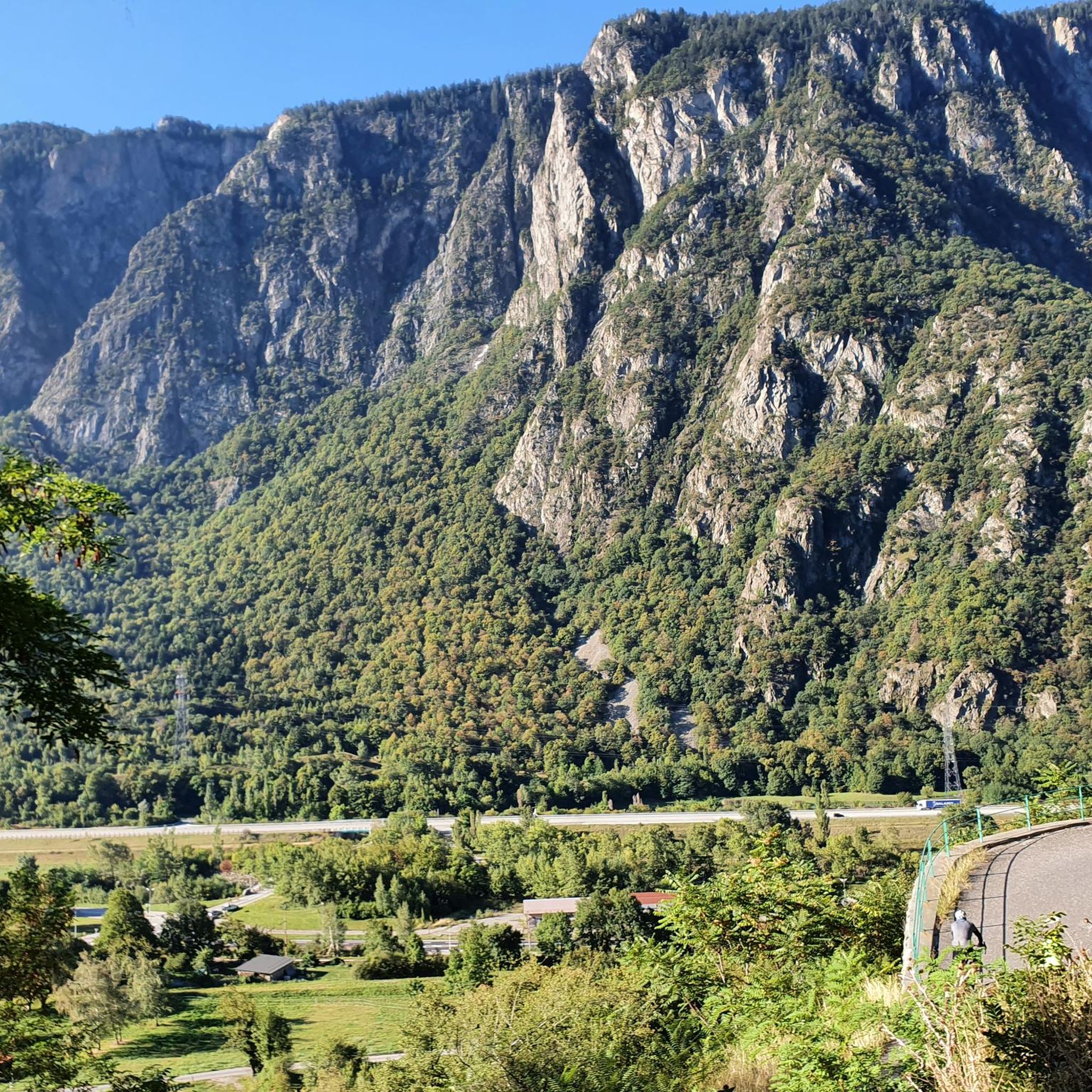
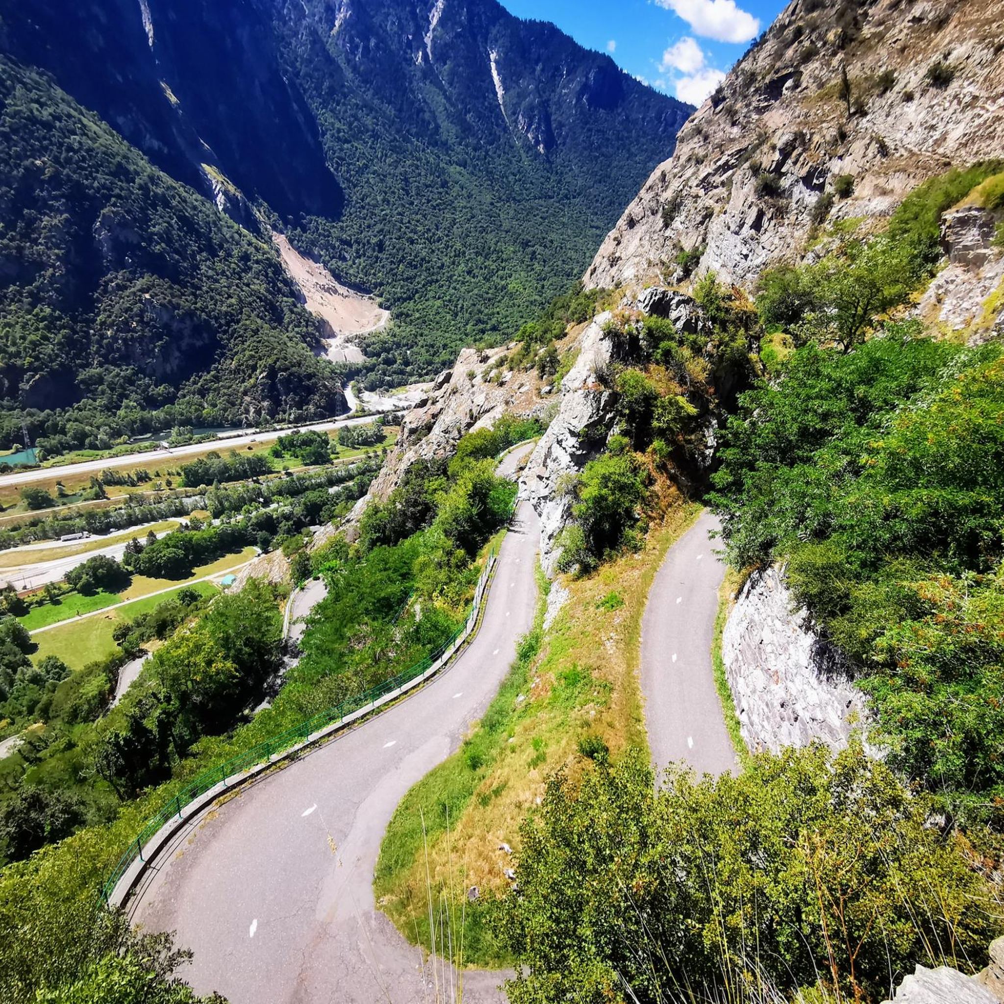
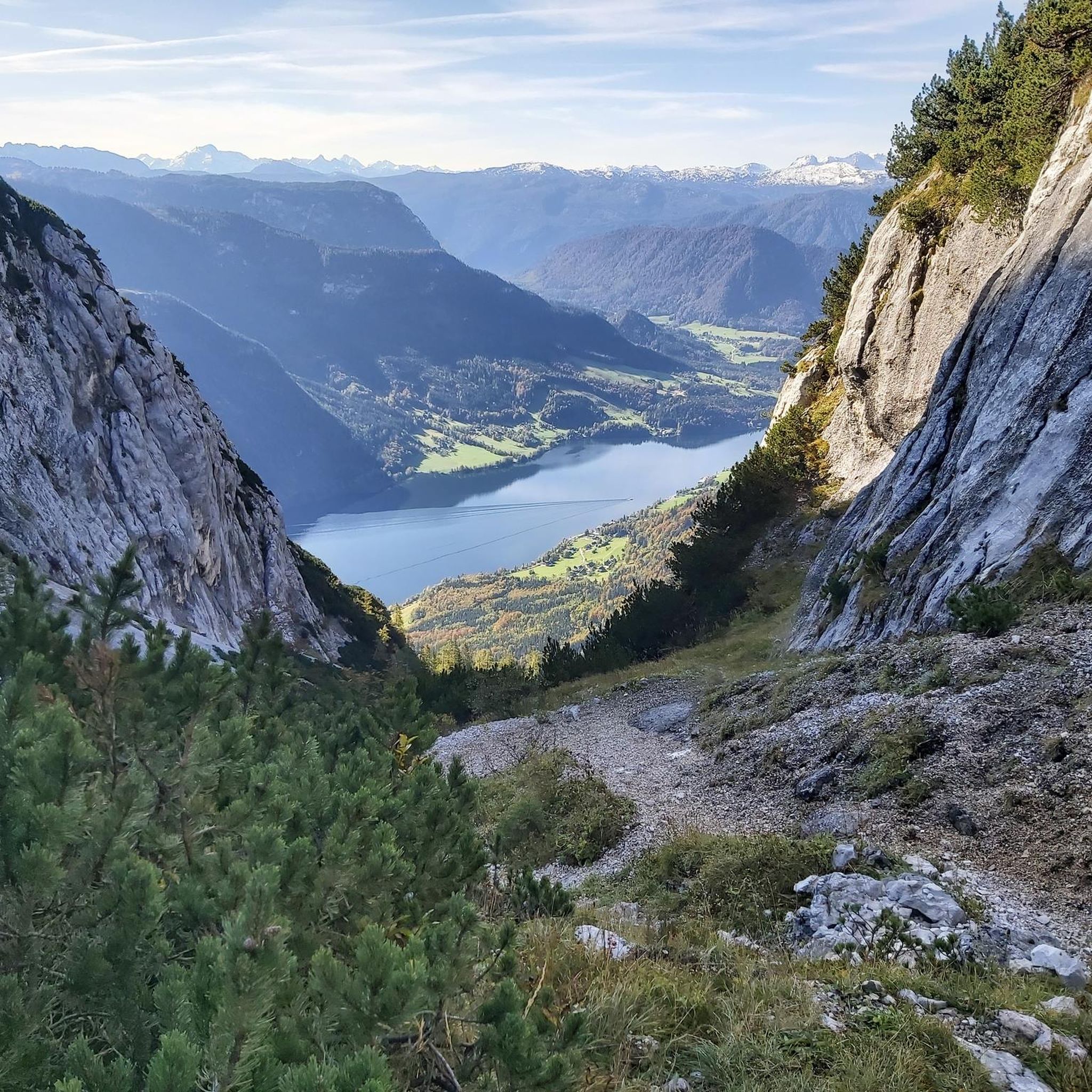

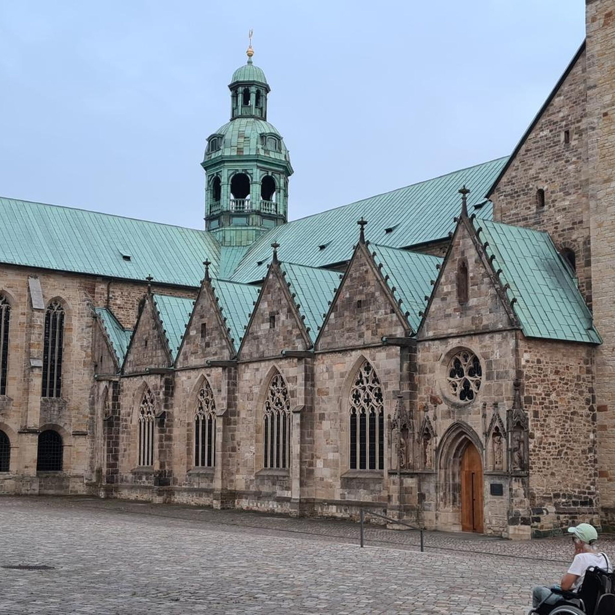
Other adventures around Montvernier

Tips from the Community

Transit town in the valley, various options for mountains.
2
0
Church worth seeing.
2
0
Either to Madeleine or to Chaussy.
2
0
Nice descent, no longer the best asphalt. Beautiful views.
2
0
Narrow road, great views. Relatively little traffic.
2
0
Narrow road by the rock, great views.
2
0
Narrow road by the rock, great views.
2
0
Orderly ascent, nice pass with chapel and bar/restaurant. Some water points, but not many.
1
0
Frequently Asked Questions
What is the general difficulty level of road cycling in Montvernier?
Road cycling routes around Montvernier are primarily characterized by challenging alpine terrain. You can expect significant mountain passes, sustained climbs, and winding roads with considerable elevation gains. The majority of routes are rated as difficult, with 45 out of 92 routes falling into this category.
Are there any easier road cycling routes for beginners in Montvernier?
While Montvernier is known for its challenging alpine climbs, there are some less demanding options. Out of the 92 available routes, 15 are rated as easy. These routes still involve some elevation but are generally shorter and less steep, offering a good starting point for those new to road cycling in the mountains.
What kind of scenery can I expect on road cycling routes around Montvernier?
The routes offer panoramic views of the surrounding peaks, deep valleys, and forested slopes characteristic of the Maurienne Valley. You'll experience a landscape dominated by mountains, with dramatic ascents and descents through picturesque alpine settings.
What are some of the most challenging road cycling climbs in Montvernier?
Montvernier is famous for its demanding climbs. Notable challenges include the ascent to Col de la Madeleine, a renowned mountain pass, and the climbs to Col du Chaussy and Col du Mollard. These routes often feature significant elevation gains over long distances, testing even experienced cyclists.
Are there loop routes available for road cycling in Montvernier?
Yes, there are several excellent loop routes. For instance, the Col du Chaussy – Col du Mollard loop from Saint-Avre - La Chambre is a demanding 63.1-mile (101.6 km) ride traversing two challenging cols. Another option is the View of the Maurienne Valley – Col de Chaussy loop from Saint-Avre - La Chambre, which is 25.7 miles (41.5 km) long.
When is the best time of year to go road cycling in Montvernier?
The best time for road cycling in Montvernier is typically from late spring to early autumn (roughly May to October). During these months, mountain passes are generally clear of snow, and the weather is more favorable for sustained climbs and descents. Always check local weather and road conditions before heading out, especially in the shoulder seasons.
What are some notable viewpoints or landmarks along the road cycling routes?
Cyclists can enjoy several iconic landmarks and viewpoints. The Montvernier Hairpins themselves are a famous sight. Other highlights include the stunning Great view over the needles of arves and the various mountain passes like Col de la Madeleine and Col du Chaussy, which offer expansive vistas.
What do other road cyclists enjoy the most about road cycling in Montvernier?
The area is highly rated by the komoot community, with an average score of 4.5 stars from over 500 reviews. Reviewers often praise the challenging nature of the climbs, the breathtaking alpine scenery, and the well-maintained roads that lead to iconic mountain passes.
Are there any routes that offer a view of Les Aiguilles d'Arves?
Yes, the View of Les Aiguilles d'Arves – La Toussuire Summit loop from Pontamafrey-Montpascal is a 45.5-kilometer (28.3 miles) route that specifically highlights this stunning mountain range. It's a difficult route, offering rewarding views of the iconic peaks.
What are the typical distances and elevations for road cycling routes in Montvernier?
Routes vary significantly, but given the alpine terrain, expect substantial distances and elevation gains. For example, the Col de la Madeleine route is 12.3 miles (19.8 km) with over 1500 meters of ascent. Longer loops, like the Col du Chaussy – Col du Mollard loop, can be over 60 miles (100 km) with more than 3000 meters of climbing.
Are there any specific routes that feature the Montvernier Hairpins?
Absolutely. The Montvernier Hairpins – Montvernier loop from Saint-Avre - La Chambre is a 50.8-kilometer (31.6 miles) route specifically designed to showcase this iconic series of switchbacks. It's a challenging ride that offers a unique cycling experience.
Most popular routes around Montvernier
Most popular attractions around Montvernier

Get inspired with the komoot mobile app


Explore more
Browse the best Road cycling routes in other regions.
