The best MTB trails around Saint-Martin-D'Arc
4.5
(99)
993
riders
22
rides
Mountain bike trails around Saint-Martin-D'Arc are situated in the Savoie department of the Auvergne Rhône-Alpes region of France, characterized by challenging mountainous terrain and iconic Alpine passes. The area lies between the Col du Télégraphe and the Col du Galibier, offering significant elevation gains. The landscape includes the scenic Maurienne Valley, with routes often featuring both paved and unpaved segments.
Best mountain bike trails around Saint-Martin-D'Arc
- The most popular mountain bike trail is Col du Télégraphe loop from Saint-Michel -…
Last updated: October 4, 2026
5.0
(1)
50
riders
93.6km
09:14
3,270m
3,270m
Hard mountain bike ride. Very good fitness required. Advanced riding skills necessary.
5.0
(1)
33
riders
39.3km
03:30
1,250m
1,250m
Hard mountain bike ride. Very good fitness required. Advanced riding skills necessary.

5.0
(1)
27
riders
Moderate mountain bike ride. Good fitness required. Suitable for all skill levels.
5.0
(1)
22
riders
59.3km
04:35
1,340m
1,340m
Hard mountain bike ride. Very good fitness required. Advanced riding skills necessary. Some portions of the route may require you to push your bike.
5.0
(3)
20
riders
45.5km
05:31
2,020m
2,020m
Hard mountain bike ride. Very good fitness required. Advanced riding skills necessary. Some portions of the route may require you to push your bike.
Get access to more routes and recommendations from other explorers.
Already have an account?
Our route recommendations are based on thousands of hikes, rides, and runs completed by other people on komoot.
Start today with a free account
Your next adventure awaits.
Popular around Saint-Martin-D'Arc
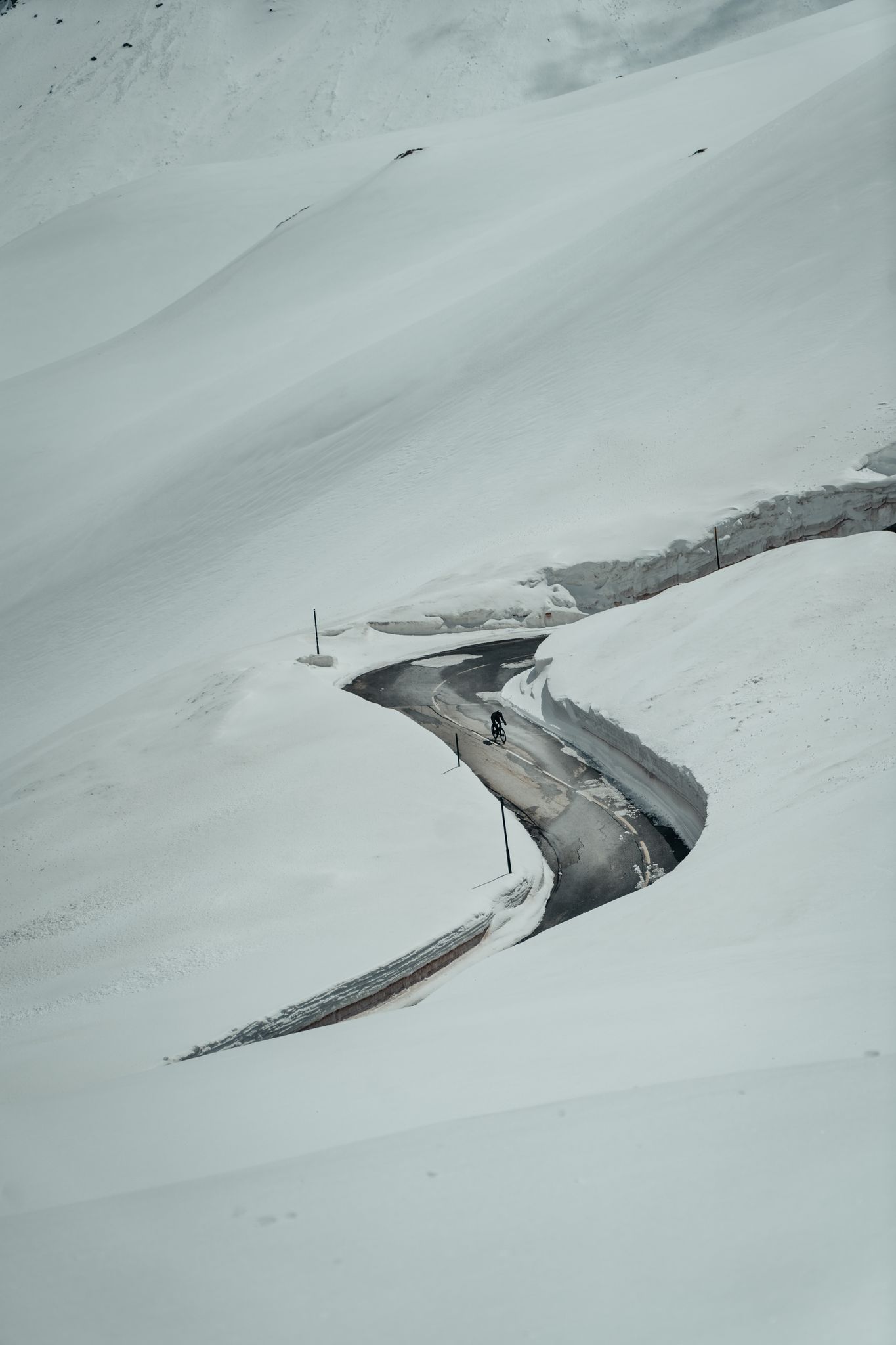
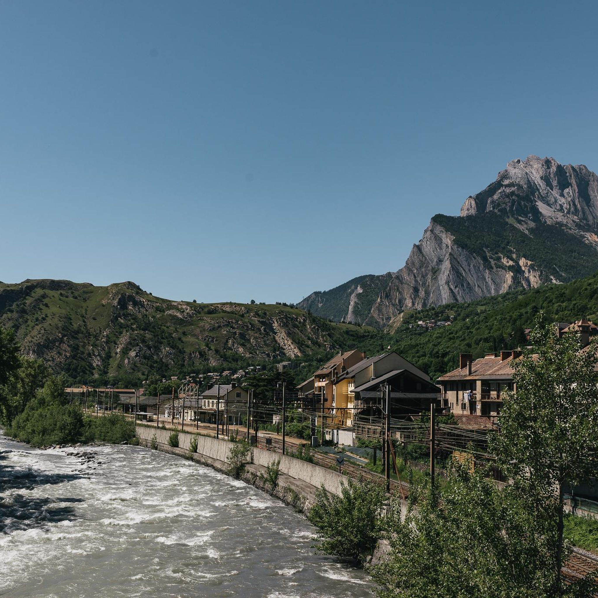

Other adventures around Saint-Martin-D'Arc

Tips from the Community

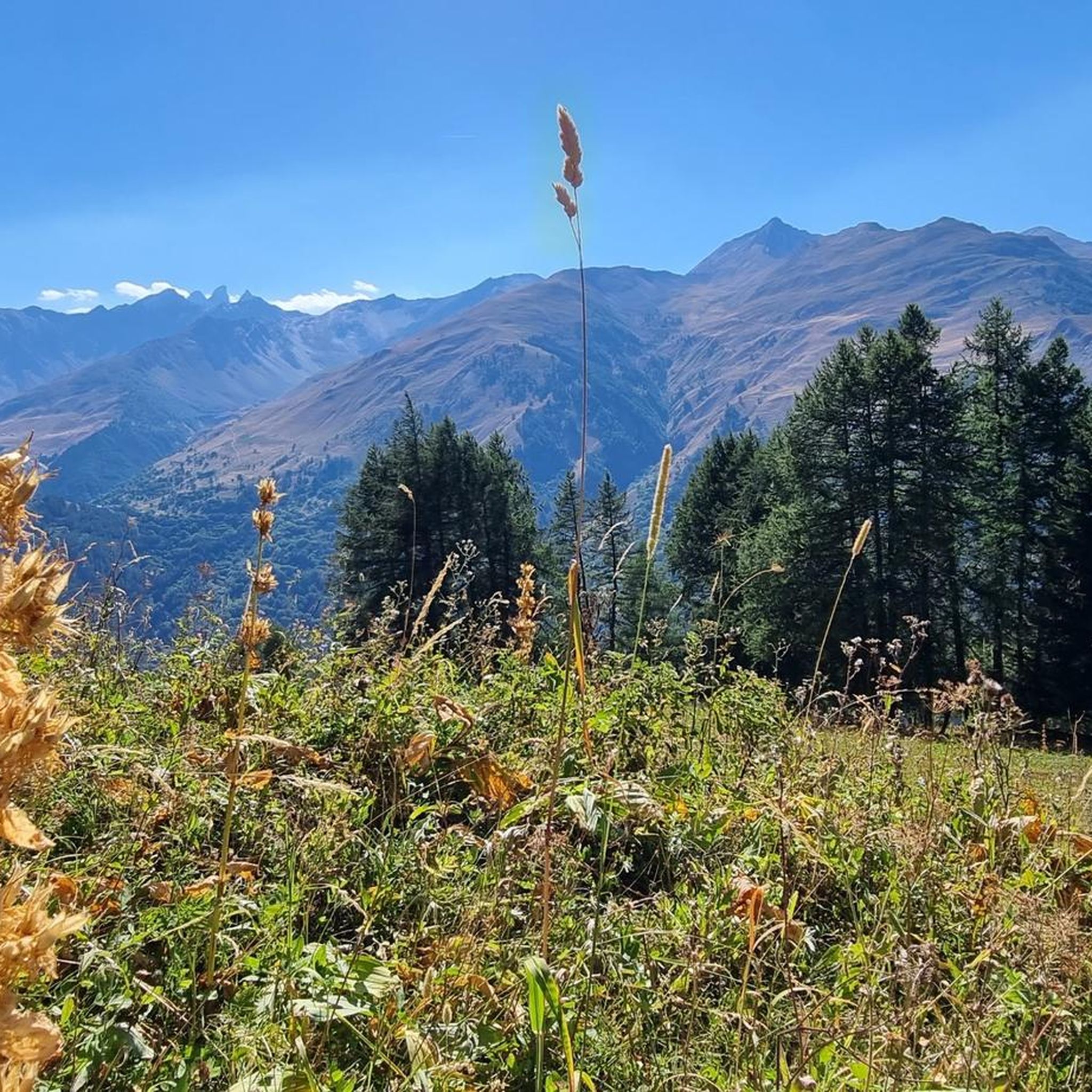
A splendid natural balcony where you can stop to admire the landscape. The view opens up to the surrounding mountains and valleys: a perfect place for a break, some photos, and to silently enjoy the beauty of the trail. 🚴♂️🏔️📸
9
0

super mega pretty here
0
0

I passed by it. First a large parking lot, next to it a few leisure activities.
2
0
Grandiose ascent on the D110, great view at the pass.
2
0
Nice place, many options to ride various passes.
2
0

Even more beautiful downhill
3
0


The perfect place for a break...
0
0
Frequently Asked Questions
How many mountain bike trails are there around Saint-Martin-D'Arc?
There are 15 mountain bike trails available around Saint-Martin-D'Arc. These routes cater to various skill levels, ranging from moderate to difficult, and often feature both paved and unpaved segments through the challenging mountainous terrain of the Savoie department.
What are the difficulty levels of mountain bike trails in the Maurienne Valley near Saint-Martin-D'Arc?
The mountain bike trails in this area are predominantly moderate to difficult. Out of the 15 available routes, 7 are classified as moderate and 8 are difficult, offering significant elevation gains and challenging ascents through iconic Alpine passes like the Col du Télégraphe and Col du Galibier.
Are there any circular mountain bike routes starting near Saint-Martin-D'Arc?
Yes, many routes are designed as loops. For example, you can explore the challenging Col du Télégraphe loop from Saint-Michel - Valloire, which is 37.3 km long, or the slightly shorter but still difficult Saint-Michel-de-Maurienne – Col du Télégraphe loop from Saint-Michel - Valloire at 19.3 km. Another option is the Beau Plan Pass – Beau Plan Pass loop from Saint-Michel - Valloire, a moderate 21.7 km ride.
What can I see along the mountain bike trails around Saint-Martin-D'Arc?
The trails offer breathtaking views and access to notable natural features and landmarks. You can ride past iconic mountain passes like the Col du Télégraphe and the Mollard Pass, known for their stunning vistas. The region also features serene lakes such as Lac du Lou, and you might pass through charming settlements like Valloire Village.
What do other mountain bikers enjoy most about the trails in Saint-Martin-D'Arc?
The area is highly rated by the komoot community, with an average score of 4.6 stars from over 90 reviews. Mountain bikers frequently praise the challenging mountainous terrain, the iconic Alpine passes, and the scenic Maurienne Valley, which together create exhilarating and rewarding rides.
Are there any family-friendly mountain bike trails in Saint-Martin-D'Arc?
While many trails in Saint-Martin-D'Arc are rated moderate to difficult due to significant elevation gains, there are options that might be suitable for families with some mountain biking experience. The region's network offers varied terrain, so looking for shorter, less steep sections or trails specifically marked as 'moderate' could be a good starting point for a family outing.
What is the best time of year for mountain biking in Saint-Martin-D'Arc?
The best time for mountain biking in Saint-Martin-D'Arc is typically during the warmer months, from late spring to early autumn. During this period, the Alpine passes are generally clear of snow, and the weather conditions are more favorable for tackling the challenging terrain. Always check local weather forecasts before heading out, especially for high-altitude routes.
Is there parking available for mountain bikers in Saint-Martin-D'Arc?
Yes, Saint-Martin-D'Arc and nearby towns like Saint-Michel-de-Maurienne, which serve as common starting points for many routes, offer parking facilities. It's advisable to check specific starting points for trails for the most convenient parking options, especially during peak season.
Can I use public transport to access mountain bike trails in Saint-Martin-D'Arc?
Saint-Martin-D'Arc is located in the Maurienne Valley, which has some public transport links. While direct access to all trailheads might be limited, you can often reach major towns like Saint-Michel-de-Maurienne by public transport, and from there, cycle to the starting points of various routes. Check local bus or train schedules for options that accommodate bikes.
Are there any dog-friendly mountain bike trails near Saint-Martin-D'Arc?
Many trails in the French Alps are generally accessible for dogs, provided they are kept under control, especially in areas with livestock or wildlife. However, specific regulations can vary, particularly within protected areas like the nearby Vanoise National Park. It's always best to check local signage and respect guidelines to ensure a safe and enjoyable experience for both you and your dog.
Are there any places to eat or stay for mountain bikers in Saint-Martin-D'Arc?
Saint-Martin-D'Arc and the surrounding Maurienne Valley offer various options for accommodation and dining. Nearby villages and towns, including Valloire and Saint-Michel-de-Maurienne, have restaurants, cafes, and hotels or guesthouses catering to outdoor enthusiasts. These can be good bases for exploring the mountain bike trails.
How long do mountain bike trails in Saint-Martin-D'Arc typically take to complete?
The duration varies significantly based on the trail's length and difficulty. For instance, the challenging Col du Télégraphe loop from Saint-Michel - Valloire typically takes around 3 hours 29 minutes, while the more extensive Saint-Michel-de-Maurienne – Beau Plan Pass loop from Saint-Michel - Valloire can take about 5 hours 23 minutes. Moderate routes like the Beau Plan Pass – Beau Plan Pass loop from Saint-Michel - Valloire might take closer to 2 hours 20 minutes.
Most popular routes around Saint-Martin-D'Arc
Most popular attractions around Saint-Martin-D'Arc

Get inspired with the komoot mobile app


Explore more
Browse the best MTB trails in other regions.
