The best running trails around Villarodin-Bourget
4.7
(15)
1,120
runners
17
runs
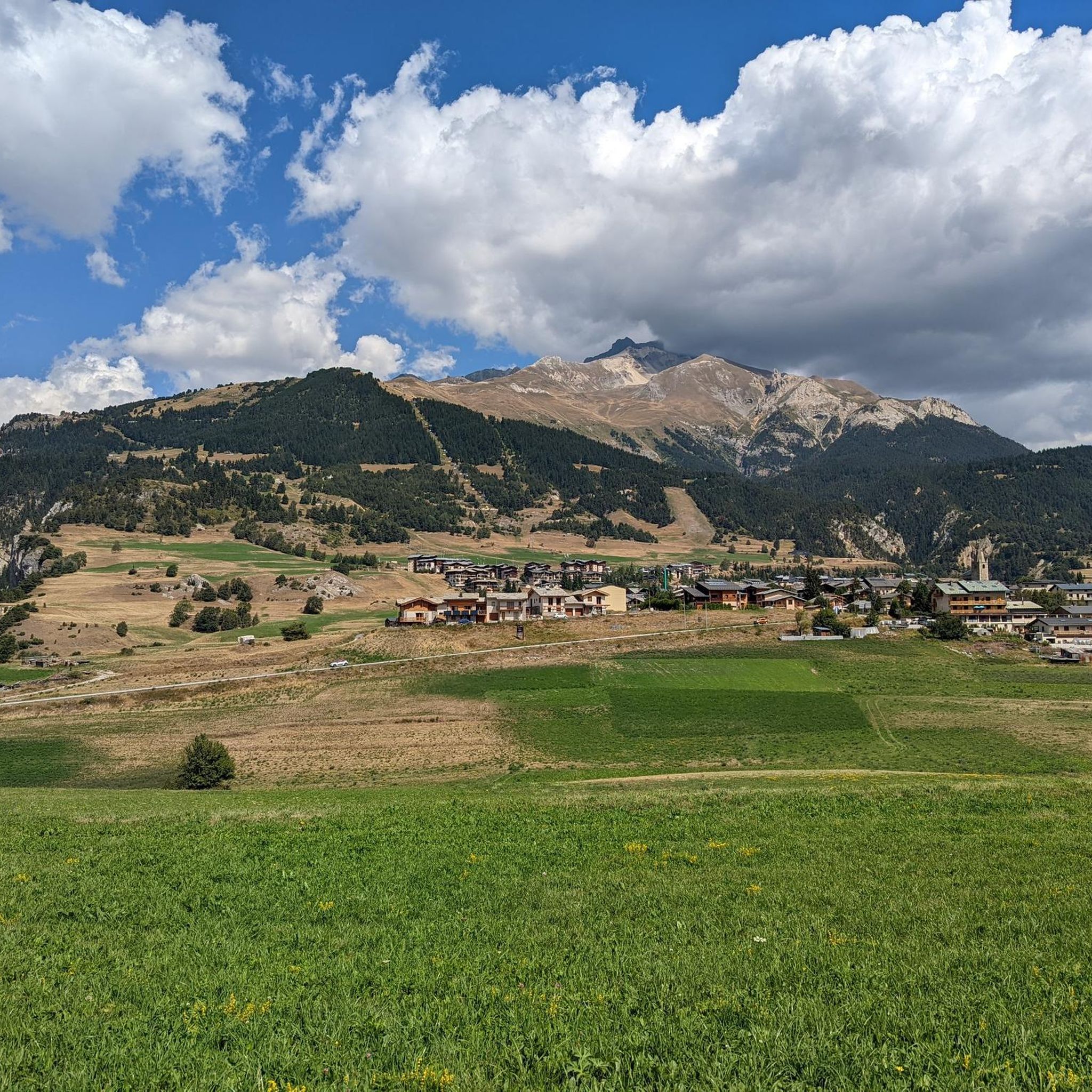
Jogging around Villarodin-Bourget offers diverse landscapes within the Savoie department of the Auvergne-Rhône-Alpes region. The commune is situated in high mountains, with altitudes ranging from 1,070 to 3,418 meters, providing varied elevation for running. A significant portion of the area borders or is within the Vanoise National Park, featuring forest paths and trails. The Arc Valley also presents opportunities for runs along its banks, catering to a range of fitness levels.
Best jogging routes around Villarodin-Bourget
- The most popular jogging…
Last updated: May 20, 2026
19
runners
4.29km
00:34
160m
160m
Hard run. Good fitness required. Sure-footedness, sturdy shoes and alpine experience required.
16
runners
12.4km
01:43
670m
670m
Hard run. Very good fitness required. Mostly paved surfaces. Suitable for all skill levels.

Sign up for free
10
runners
4.16km
00:36
150m
150m
Hard run. Good fitness required. Sure-footedness, sturdy shoes and alpine experience required.
8
runners
Hard run. Very good fitness required. Sure-footedness, sturdy shoes and alpine experience required.
10
runners
10.8km
01:37
460m
460m
Hard run. Very good fitness required. Sure-footedness, sturdy shoes and alpine experience required.
Get access to more routes and recommendations from other explorers.
Sign up for free
Already have an account?
Our route recommendations are based on thousands of hikes, rides, and runs completed by other people on komoot.
Start today with a free account
Your next adventure awaits.
Login or Signup

Tips from the Community


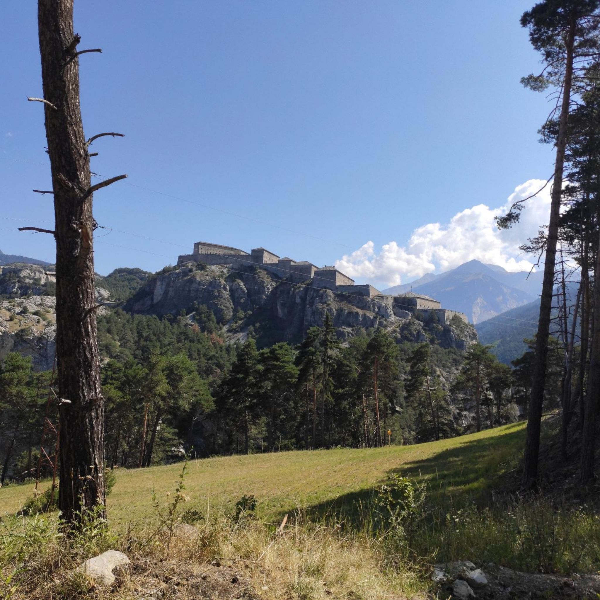
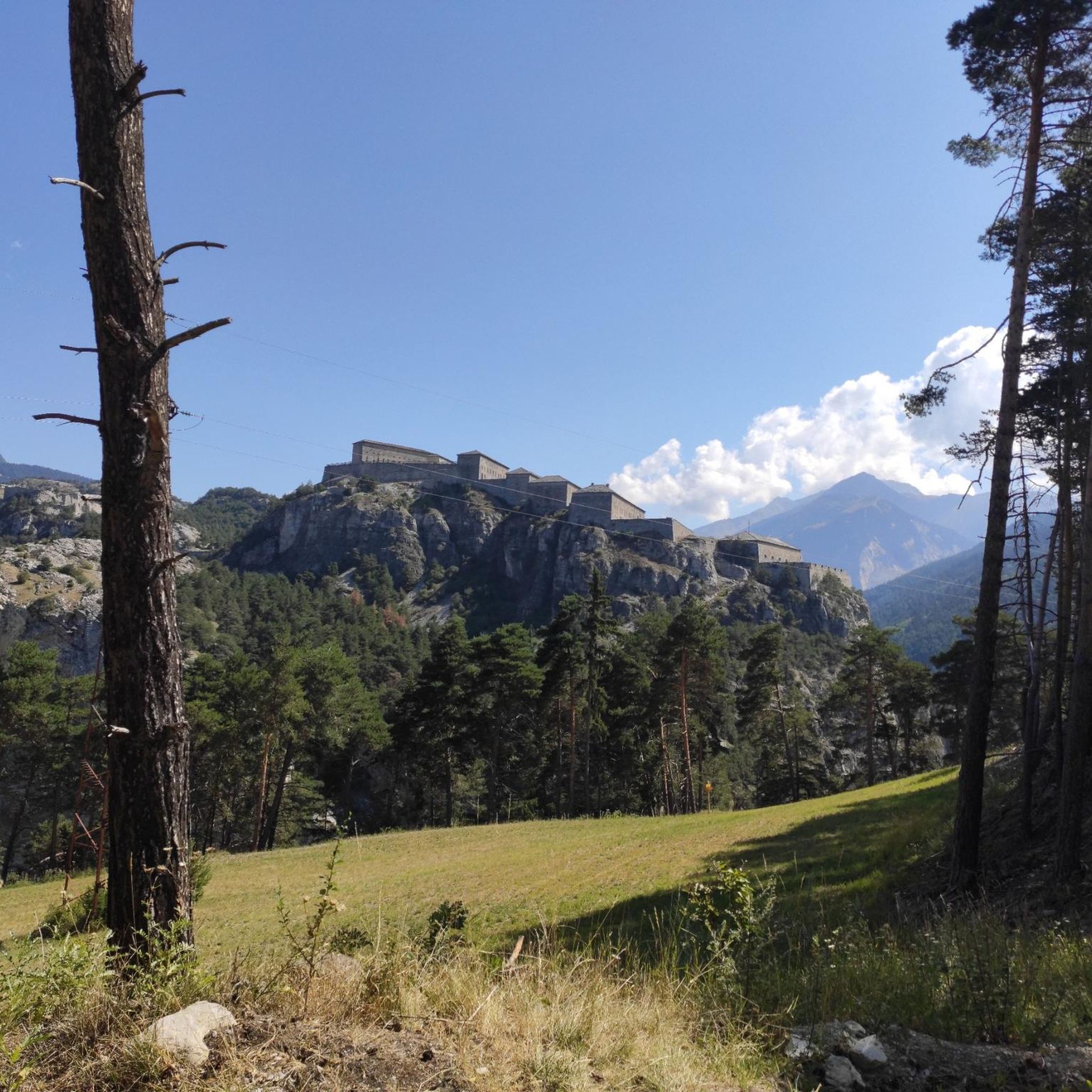
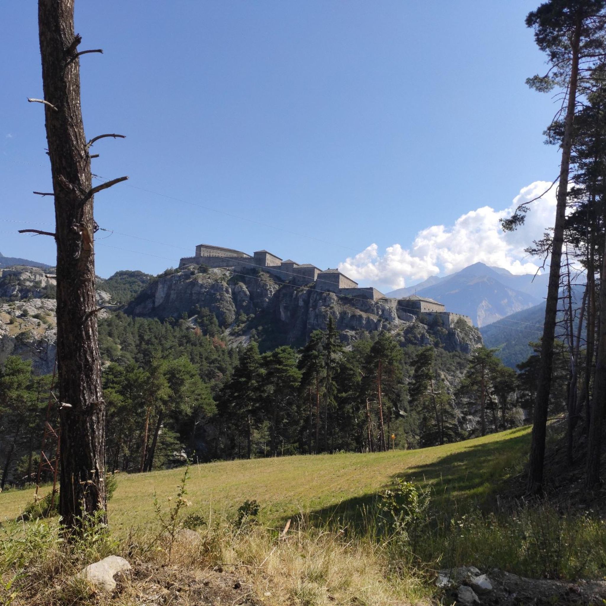
Superb restored historical sites ideal for sporting activities for families.
0
0


In high season, the refuge can accommodate up to 70 people. It also offers a catering service, and hikers passing through can stop simply for a drink. You will also find a drinking water point, toilets and PRM access.
0
0

Beautiful view of the old Devil's Bridge
0
0
This small fortification is part of the gigantic system of the Esseillon Forts.
0
0
Frequently Asked Questions
What kind of terrain can I expect on running routes around Villarodin-Bourget?
The running routes in Villarodin-Bourget are characterized by diverse landscapes, including mountainous terrain with significant elevation changes, serene forest paths, and trails along the Arc Valley. Altitudes range from 1,070 to 3,418 meters, offering options from moderate runs to challenging mountain trails.
Are there any easy or beginner-friendly jogging routes in the area?
While many routes in Villarodin-Bourget are considered difficult due to the mountainous terrain, there are options for various fitness levels. For a more moderate experience, consider the Wooden Bridge Over the Arc loop from Villarodin-Bourget, which is 3.3 miles (5.4 km) long and offers scenic views along the valley.
Can I find circular running routes in Villarodin-Bourget?
Yes, many of the running paths around Villarodin-Bourget are circular, allowing you to start and finish at the same point. Popular options include the Plan d'eau des Avenières loop from Villarodin-Bourget, which is 2.9 miles (4.7 km) and takes about 36 minutes, and the more challenging Grotte du Grizzly loop from Villarodin-Bourget.
What natural features or landmarks can I see while running in Villarodin-Bourget?
The region offers breathtaking panoramic views, especially from higher elevations. You might encounter picturesque lakes like Lac de la Partie, and trails often wind through forests within or bordering the Vanoise National Park. For historical interest, you can explore ancient fortifications such as Fort Victor-Emmanuel, or the charming Notre-Dame-du-Charmaix Chapel.
Are there any dog-friendly running trails in Villarodin-Bourget?
Many trails in the Vanoise National Park area are generally dog-friendly, but it's always recommended to keep dogs on a leash, especially in areas with wildlife or livestock. Always check specific park regulations or trail signs before heading out with your pet.
What is the best time of year for jogging in Villarodin-Bourget?
The diverse landscapes of Villarodin-Bourget offer running opportunities throughout the year. Summer provides lush forest paths and access to higher mountain trails. During winter, some lower elevation routes may still be accessible, but higher trails can be covered in snow, requiring appropriate gear and caution.
Are there options for longer, more challenging mountain runs?
Absolutely. Villarodin-Bourget is situated in high mountains, with many routes designed for experienced runners seeking a challenge. The Grotte du Grizzly loop from Villarodin-Bourget is a difficult 7.7 miles (12.4 km) path with significant elevation gain, perfect for those looking for a strenuous workout.
What do other runners say about the trails in Villarodin-Bourget?
The running routes in Villarodin-Bourget are highly rated by the komoot community, with an average score of 4.6 stars from over 16 reviews. Runners often praise the varied terrain, stunning alpine scenery, and the opportunity to immerse themselves in nature.
Are there any refuges or huts along the running routes for resting?
Yes, for longer runs or multi-day excursions, mountain refuges provide resting points. The Orgère refuge is one such option. You can find more information on various huts and cabins in the area, such as Rifugio Scarfiotti or Refuge du Saut, which can be useful for planning your longer runs.
How many jogging routes are available around Villarodin-Bourget?
There are over 15 dedicated jogging routes around Villarodin-Bourget listed on komoot, offering a wide range of distances and difficulty levels to suit different preferences and fitness levels.
Are there any routes that offer views of lakes or water features?
Yes, the region boasts picturesque lakes such as Lac de la Partie, known for its pure waters surrounded by peaks. Running around these serene water bodies provides beautiful vistas and a tranquil atmosphere. The Arc Valley also presents opportunities for runs along its banks, offering pleasant waterside views.
Can I combine my run with exploring historical sites?
Certainly. Beyond the natural beauty, the area features ancient fortifications like Fort Victor-Emmanuel, adding a cultural dimension to your outdoor activities. The Vallon de l'Orgère also offers insights into the area's historical heritage.
Most popular routes around Villarodin-Bourget
Most popular attractions around Villarodin-Bourget

Get inspired with the komoot mobile app


Explore more
Browse the best Running Trails & Routes in other regions.
