The best walks and hikes around Théhillac
4.4
(105)
549
hikers
58
hikes
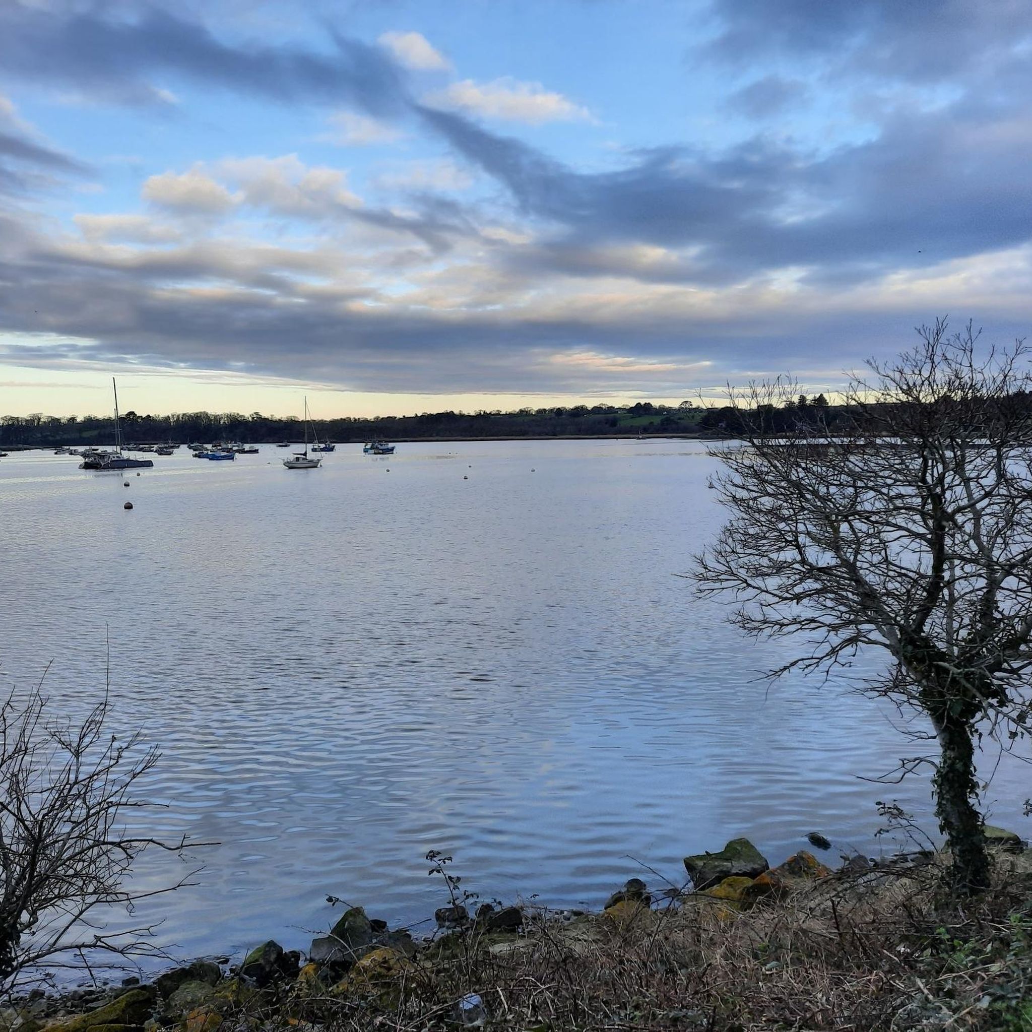
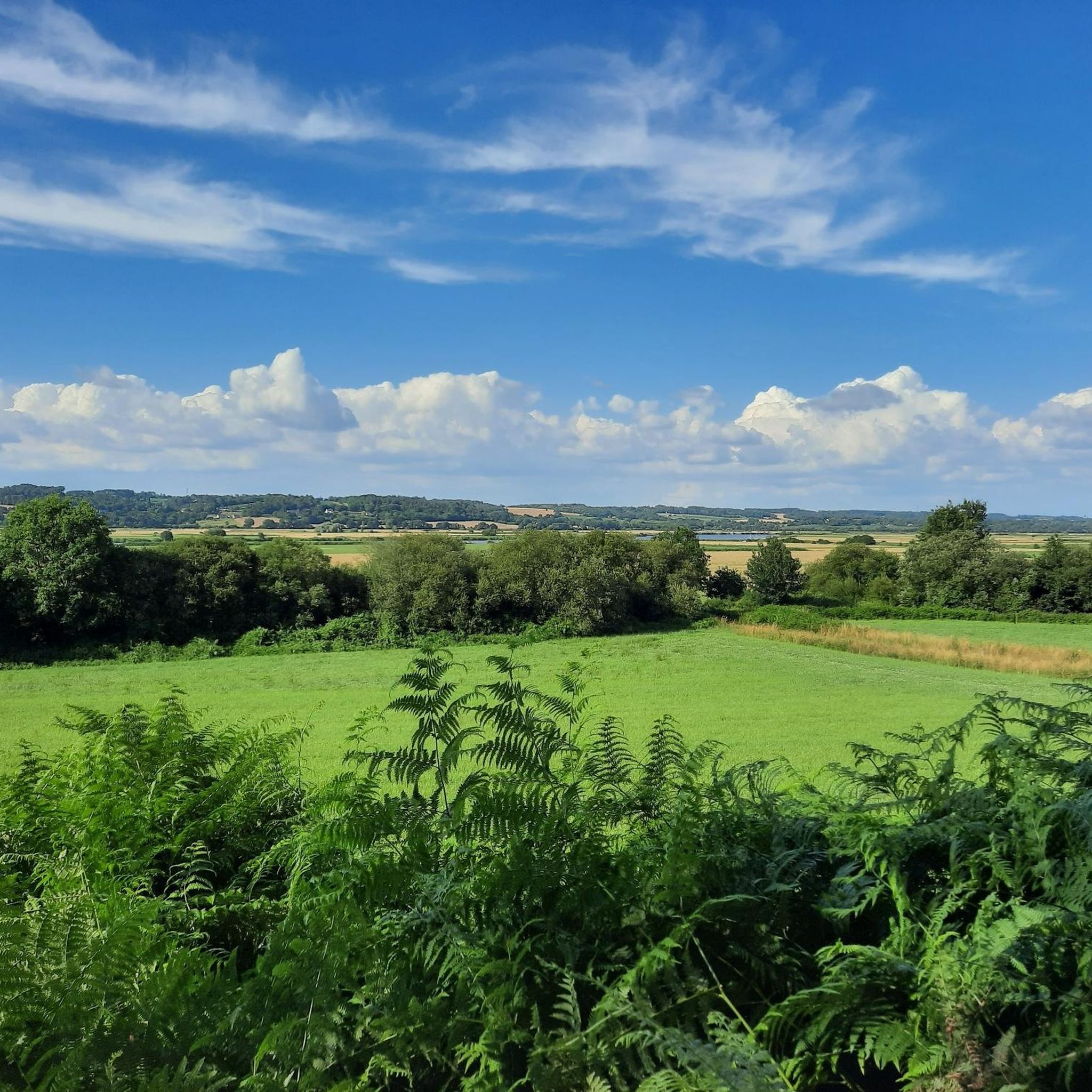
Hiking around Théhillac offers routes through a landscape characterized by gentle undulations, woodlands, and waterways. The region features a mix of rural paths, historical sites, and natural areas like ponds and rocky outcrops. The Vilaine River and its valley, along with marshlands and forested sections, define the diverse terrain. Elevation gains are generally modest, making many trails accessible for various fitness levels.
Best hiking trails around Théhillac
- The most popular hiking route is View of the Vallon du Roho –…
Last updated: October 7, 2026
4.9
(10)
82
hikers
10.9km
02:58
160m
160m
Moderate hike. Good fitness required. Easily-accessible paths. Suitable for all skill levels.
4.8
(6)
41
hikers
10.9km
02:58
160m
160m
Moderate hike. Good fitness required. Easily-accessible paths. Suitable for all skill levels.

4.5
(4)
17
hikers
7.67km
02:04
100m
100m
Moderate hike. Good fitness required. Easily-accessible paths. Suitable for all skill levels.
4.5
(2)
11
hikers
4.84km
01:16
30m
30m
Easy hike. Great for any fitness level. Easily-accessible paths. Suitable for all skill levels.
5
hikers
11.8km
03:06
100m
100m
Moderate hike. Good fitness required. Easily-accessible paths. Suitable for all skill levels.
Get access to more routes and recommendations from other explorers.
Already have an account?
Our route recommendations are based on thousands of hikes, rides, and runs completed by other people on komoot.
Start today with a free account
Your next adventure awaits.

Tips from the Community

It was originally erected at the Mission's 1896 fence, near the present church. With the installation of a new cross on All Saints' Day 1910, it was erected outside the cemetery.
0
0
A slightly trapezoidal granite cross, the Cravignan Cross was originally one of the many menhirs Christianized in the Middle Ages.
0
0

Relatively pleasant beginning of the trail but it all depends on which way you access it, in any case a good portage is to be done for the complete route.
0
0

This magnificent lake feeds the nearby canal. With this plan, a sailing school and picnic areas, it is a center for outdoor activities. Its 9.5 km path around its shores makes it an ideal place for hiking.
2
0

A few bicycles to get there ;-)
0
0
Frequently Asked Questions
How many hiking trails are available around Théhillac?
There are over 50 hiking trails around Théhillac, offering a variety of options for different skill levels. You'll find 22 easy routes and 32 moderate routes to explore the region's diverse landscapes.
What kind of scenery can I expect on the hikes around Théhillac?
Hikes around Théhillac feature a landscape of gentle undulations, peaceful woodlands, and picturesque waterways. You'll encounter rural paths, natural areas with ponds and rocky outcrops, and often pass by historical sites.
Are there easy hiking trails suitable for beginners or families in Théhillac?
Yes, Théhillac offers 22 easy routes perfect for beginners or families. An excellent option is the War Memorial – Mission Cross loop from Saint-Dolay, a 3.6-mile (5.8 km) trail that takes about 1 hour 30 minutes and leads through local historical points.
Are there any circular hiking routes in Théhillac?
Many of the trails around Théhillac are circular, allowing you to start and end at the same point. For example, the Étang Aumée loop from Le Moulin Aumée is an easy 3-mile (4.8 km) loop that takes you around the beautiful Étang Aumée.
What do other hikers enjoy most about hiking in Théhillac?
The area is highly rated by the komoot community, with an average score of 4.4 stars from over 80 reviews. Hikers often praise the region's mix of woodlands, ponds, and historical sites, as well as the well-maintained paths suitable for various ability levels.
Are the hiking trails around Théhillac dog-friendly?
Generally, dogs are welcome on hiking trails in France, especially in rural areas like Théhillac. It's always recommended to keep your dog on a leash, especially near livestock or in nature reserves, and to clean up after them. Specific restrictions might apply to certain protected areas, so always check local signage.
What is the best time of year to go hiking in Théhillac?
The best time to hike in Théhillac is typically during spring (April to June) and autumn (September to October) when the weather is mild and the natural scenery is at its most vibrant. Summer can also be pleasant, but it's advisable to start early to avoid the midday heat.
Are there any historical sites or landmarks to see while hiking in Théhillac?
Yes, the region is rich in history. You can explore landmarks such as Bretesche Castle or the historic town of Redon. Many trails also pass by smaller historical points like war memorials or mission crosses, as seen on the War Memorial – Mission Cross loop.
Can I reach the hiking trails around Théhillac using public transport?
While Théhillac is a rural area, some larger towns nearby, like Redon, are accessible by train. From there, local bus services might connect to smaller villages closer to trailheads. However, public transport options directly to all trail starting points can be limited, so checking local schedules in advance is recommended.
Are there any specific viewpoints or scenic spots on the trails?
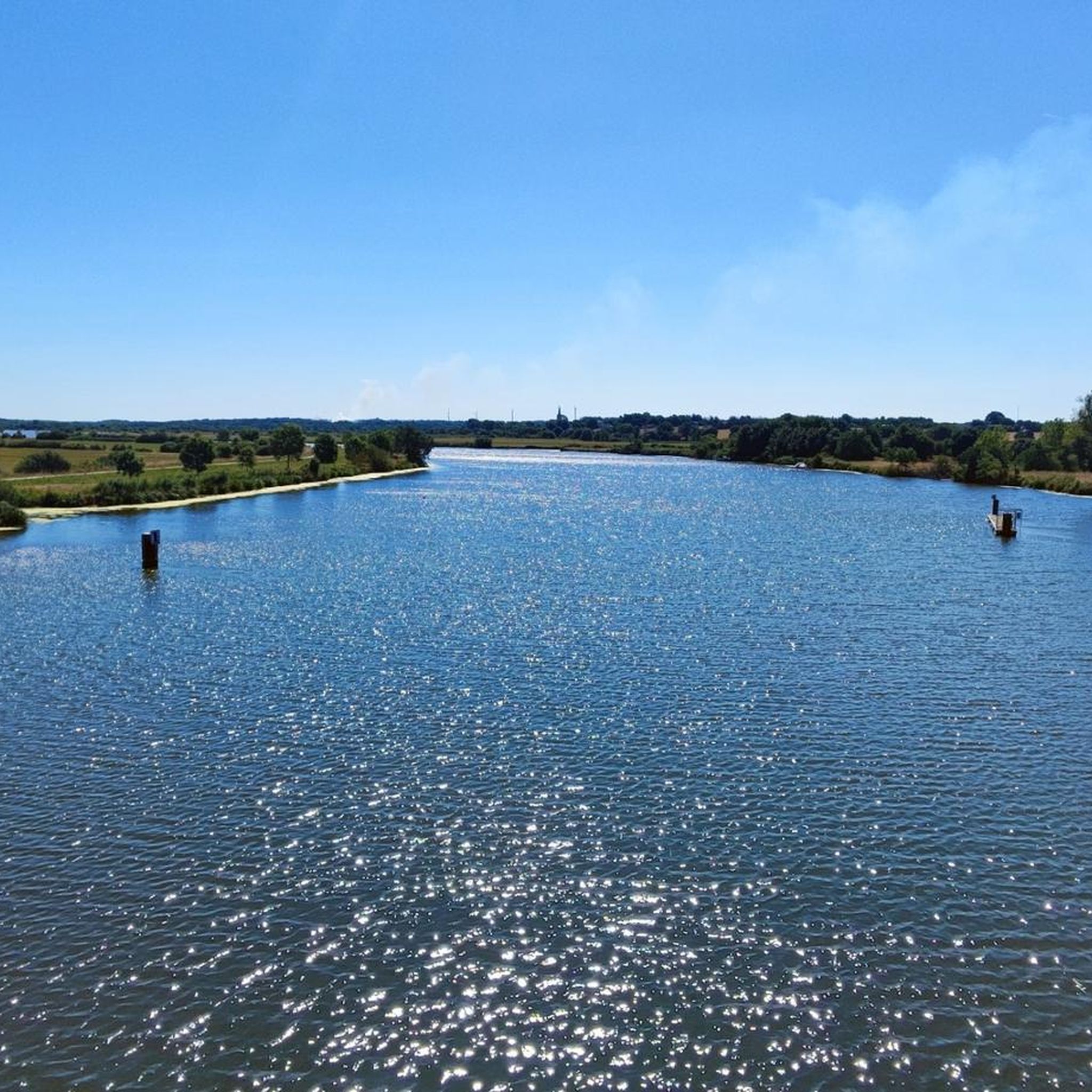
Absolutely. The area offers several scenic spots, including the View of the Vilaine, which provides beautiful river vistas. Many trails also follow the Canal de Nantes à Brest, offering picturesque waterside views.
Are there any longer, more challenging hikes for experienced hikers?
While there are no 'difficult' rated trails, Théhillac offers 32 moderate routes that provide a good challenge. The Croix de la Crolaye – Château de Rieux Ruins loop from Rieux is a moderate 4.5-mile (7.2 km) trail that takes you through varied terrain and past historical ruins.
Are there places to eat or drink near the hiking trails in Théhillac?
Théhillac and its surrounding villages offer local establishments where you can find refreshments or a meal. It's a good idea to check opening hours, especially in smaller hamlets, or pack your own snacks and drinks for longer hikes.
Most popular routes around Théhillac
Most popular attractions around Théhillac

Get inspired with the komoot mobile app


Explore more
Browse the best Hikes in other regions.
