The best walks and hikes around Sauvagney
4.4
(84)
677
hikers
116
hikes
Hiking around Sauvagney offers access to a landscape characterized by gentle hills, agricultural fields, and forested areas. The region features several ponds and small water bodies, providing varied scenery for outdoor activities. Elevation changes are generally modest, making many trails accessible. The terrain is typical of the rural French countryside, with a mix of open spaces and woodland paths.
Best hiking trails around Sauvagney
- The most popular hiking route is Aurêtre Pond loop from Geneuille, a 5.9 miles (9.6…
Last updated: July 6, 2026
4.0
(2)
25
hikers
9.57km
02:30
70m
70m
Moderate hike. Good fitness required. Easily-accessible paths. Suitable for all skill levels.
4.0
(3)
14
hikers
8.38km
02:12
70m
70m
Moderate hike. Good fitness required. Easily-accessible paths. Suitable for all skill levels.

Sign up for free
4.7
(3)
17
hikers
13.0km
03:24
90m
90m
Moderate hike. Good fitness required. Easily-accessible paths. Suitable for all skill levels.
5.0
(1)
10
hikers
9.35km
02:29
90m
90m
Moderate hike. Good fitness required. Easily-accessible paths. Suitable for all skill levels.
4.0
(2)
4
hikers
11.6km
03:00
70m
70m
Moderate hike. Good fitness required. Easily-accessible paths. Suitable for all skill levels.
Get access to more routes and recommendations from other explorers.
Sign up for free
Already have an account?
Our route recommendations are based on thousands of hikes, rides, and runs completed by other people on komoot.
Start today with a free account
Your next adventure awaits.
Login or Signup



Tips from the Community

This type of sculpted wayside cross was once widespread in Franche-Comté, but very few have survived. The one in Chaucenne is considered a rustic masterpiece of folk art. ✝️ Artistic and Symbolic Description The sculpted group represents: + Christ on the Cross + The Virgin Mary + Saint John Together, it forms a rough outline of a Lorraine cross, a notable feature in the region. The shaft of the cross bears a double-barred cross, the emblem of the Hospitallers of the Holy Spirit, a religious and hospitaller order very active in the Middle Ages. Another interesting detail: The cross appears to have been mounted on a tomb, and not on a separate base, which reinforces its connection to the old cemetery. (Copilot)
0
0
Water hole in a deep oak forest.
0
0

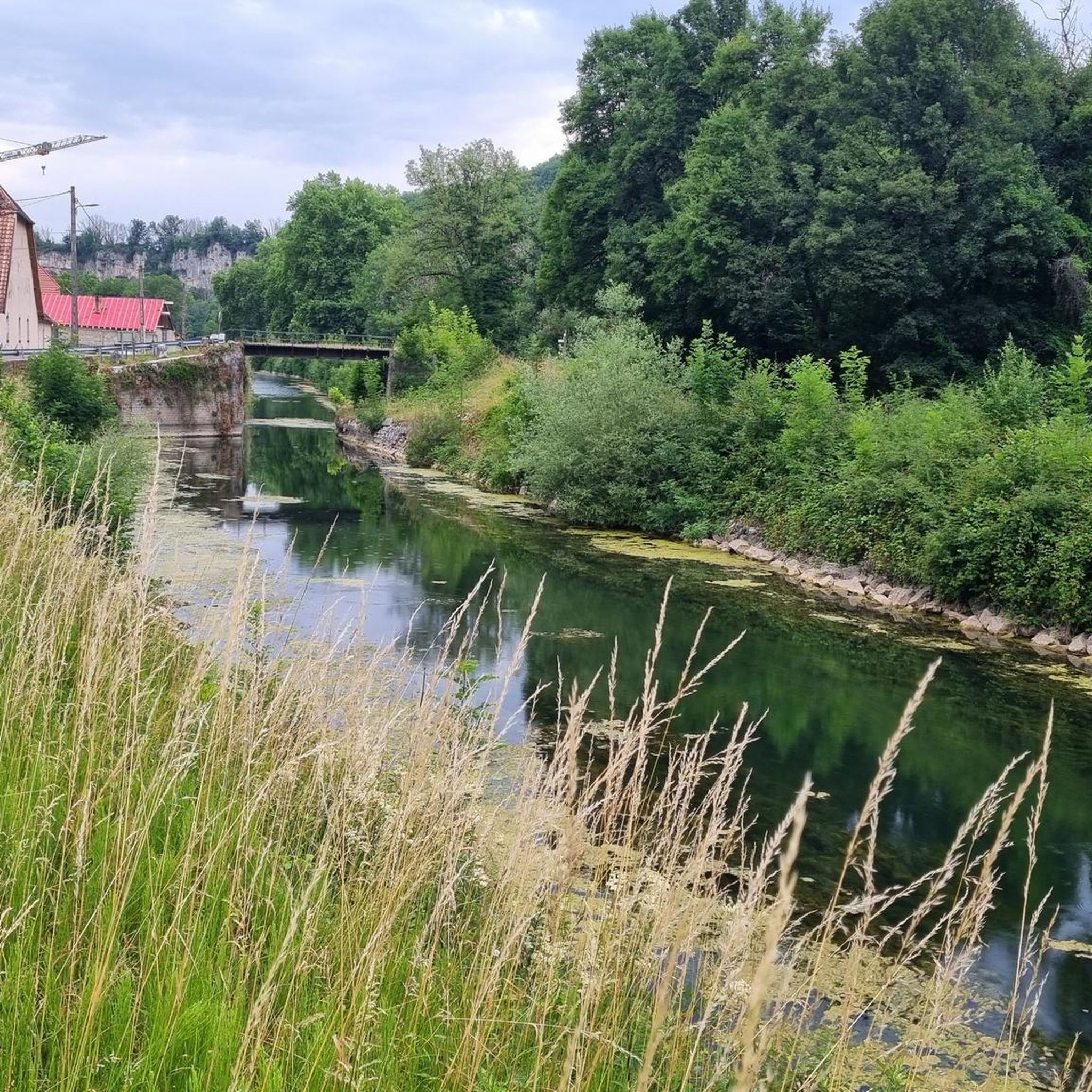
The Aurêtre pond is located north of Besançon in the commune of Geneuille. It presents a pretty bucolic setting when nature is in bloom.
0
0
Located at the foot of the church, in the cemetery, this 16th century Calvary in pure "Popular Art" style represents Christ on the cross, accompanied by the Virgin and Saint John. The shaft of the cross is stamped with the double-crossed cross, the badge of the Hospitallers of the Holy Spirit. It has been listed as a historic monument since December 19, 1944.
1
0

great course with lots of possibilities
0
0

Small nice pond to take a break or have a picnic while hiking.
0
0
Frequently Asked Questions
How many hiking trails are available in Sauvagney?
Sauvagney offers a wide selection of hiking opportunities, with over 130 routes recorded on komoot. These range from easy strolls to more challenging day hikes, catering to various fitness levels.
Are there easy hiking trails suitable for beginners in Sauvagney?
Yes, Sauvagney has plenty of easy trails perfect for beginners or those looking for a relaxed walk. There are 44 easy routes available, often characterized by gentle terrain and scenic views of the rural landscape and ponds.
Can I find circular hiking routes around Sauvagney?
Circular routes are a defining feature of hiking in Sauvagney. Many trails are designed as loops, allowing you to start and end at the same point. For example, the Aurêtre Pond loop from Geneuille is a popular moderate circular option that takes about 2 hours 30 minutes to complete.
Are the hiking trails in Sauvagney suitable for families with children?
Many trails in Sauvagney are suitable for families, especially the easier, flatter routes around the ponds and through agricultural fields. The modest elevation changes make them accessible for children. Consider routes with shorter distances for younger hikers.
Are dogs allowed on the hiking trails in Sauvagney?
Generally, dogs are welcome on trails in the rural French countryside, including Sauvagney. However, it's always advisable to keep them on a leash, especially when passing through agricultural areas or near livestock, and to clean up after them. Specific restrictions might apply in certain protected natural areas, though none are explicitly noted for Sauvagney's main hiking routes.
What kind of scenery can I expect on hikes around Sauvagney?
Hiking in Sauvagney offers a blend of gentle hills, expansive agricultural fields, and peaceful forested areas. A prominent feature of the landscape is the presence of several ponds and small water bodies, providing picturesque views and varied natural settings. You'll experience the tranquil beauty of the rural French countryside.
What is the best season for hiking in Sauvagney?
The best seasons for hiking in Sauvagney are typically spring and autumn. During these times, the weather is mild, and the natural scenery is particularly vibrant, with blooming flowers in spring and colorful foliage in autumn. Summer can also be pleasant, but it's advisable to hike earlier in the morning or later in the afternoon to avoid the midday heat.
Are there any interesting places to explore or landmarks near the hiking trails?
Yes, the Sauvagney area has several points of interest. You might encounter historical elements like The large washhouse-trough or the Fountain and Washhouses in Etuz. The Grandes Baraques forest hamlet also offers a glimpse into local heritage.
What do other hikers say about the trails in Sauvagney?
The trails in Sauvagney are highly regarded by the komoot community, boasting an average rating of 4.5 stars from over 70 reviews. Hikers often praise the peaceful pond loops, the well-maintained rural pathways, and the overall accessibility of the routes for various skill levels.
Are there any challenging hikes in the Sauvagney area?
While Sauvagney is known for its gentle terrain, there are a few routes that offer a bit more challenge. There are 2 difficult routes available, and many moderate trails, such as the Les Étangs de Noironte loop from Chaucenne, which covers 8.1 miles (13.0 km) and involves slightly more elevation gain than other local paths.
Are there options for longer day hikes in Sauvagney?
Yes, you can find longer routes suitable for a full day out. For instance, the Château de Vregille loop from Chambornay-lès-Pin is an 11.6 km (7.2 miles) hike that takes around 3 hours to complete, offering a substantial walk through the countryside.
Where can I find parking for hiking trailheads in Sauvagney?
Parking is generally available near the starting points of many popular trails in Sauvagney, especially in or near the villages that serve as trailheads. Look for designated parking areas in towns like Geneuille, Cussey-sur-l'Ognon, or Chaucenne, which are common starting points for the pond loops.
Are there any trails that pass by cafes or places to eat?
While specific cafes directly on the trails are not common in this rural area, many routes start or pass through villages where you can find local establishments for refreshments or a meal. It's a good idea to check village amenities before you set out, especially for longer hikes.
Most popular routes around Sauvagney
Most popular attractions around Sauvagney

Get inspired with the komoot mobile app


Explore more
Browse the best Hikes in other regions.
