The best walks and hikes around Sermérieu
4.5
(288)
1,666
hikers
213
hikes
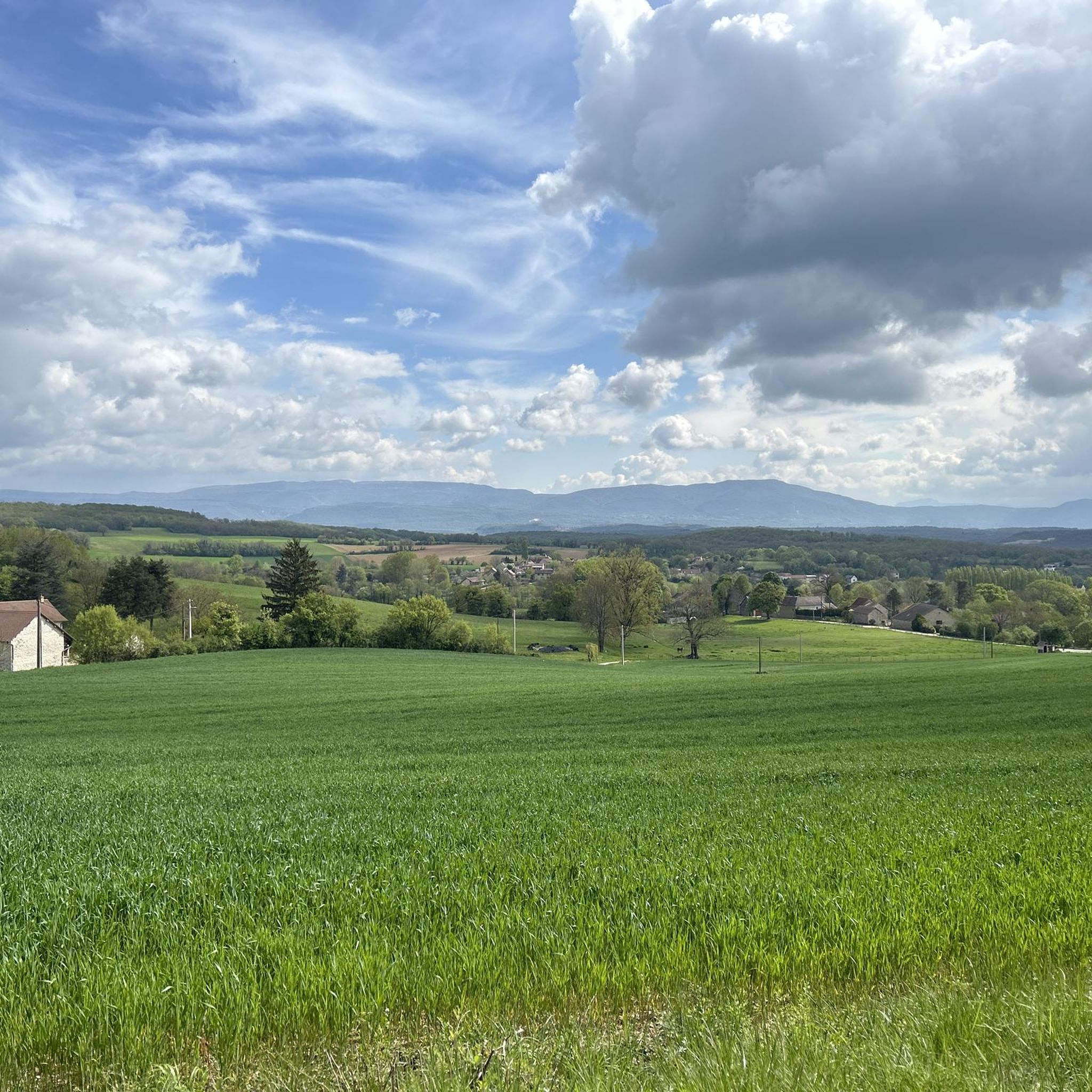
Hiking trails around Sermérieu are situated in the southern Balcons du Dauphiné region of Isère, France, offering a blend of natural landscapes and cultural heritage. The terrain generally features gentle ascents, traversing rural landscapes, open fields, and woodlands. Hikers can find paths connecting small villages and passing by local ponds, with opportunities for panoramic views of the surrounding countryside and distant Alpine massifs.
Best hiking trails around Sermérieu
- The most popular hiking route is Chateau de Chapeau Cornu – Poulet…
Last updated: August 21, 2026
4.3
(8)
55
hikers
Moderate hike. Good fitness required. Easily-accessible paths. Suitable for all skill levels.
4.5
(12)
19
hikers
6.00km
01:40
110m
110m
Easy hike. Great for any fitness level. Easily-accessible paths. Suitable for all skill levels.

Sign up for free
4.3
(8)
55
hikers
10.5km
02:58
220m
220m
Moderate hike. Good fitness required. Easily-accessible paths. Suitable for all skill levels.
4.0
(5)
10
hikers
6.14km
01:44
130m
130m
Easy hike. Great for any fitness level. Easily-accessible paths. Suitable for all skill levels.
4.2
(5)
11
hikers
9.82km
02:40
140m
140m
Moderate hike. Good fitness required. Easily-accessible paths. Suitable for all skill levels.
Get access to more routes and recommendations from other explorers.
Sign up for free
Already have an account?
Our route recommendations are based on thousands of hikes, rides, and runs completed by other people on komoot.
Start today with a free account
Your next adventure awaits.
Login or Signup


Tips from the Community

The main legacy of the former abbey of Saint-Chef, the abbey church bears witness through its monumental dimensions to the importance of this site in the Middle Ages. It was built in the 11th century on the foundations of an old church. It is of the purest Romanesque style, apart from its portal which is Gothic in style. It was saved from the ravages of time thanks to Prosper Mérimée who classified it in the first inventory of Historical Monuments in 1840. Since then, the abbey church has been able to benefit from a conservation and sanitation program. https://www.saint-chef.fr/eglise.html
0
0

War memorial in the village center
1
0

Very beautiful and natural tower 🤩
0
0

Found somewhat by chance and at a very affordable price, this hotel restaurant is a superb stopover for a bike ride!
0
0

A pretty, medieval town that is certainly worth more time to visit than we could take while driving through.
0
0

Superb view of the small town of Passins and the Bugey massif
0
0

Lovely little town. The music festival is particularly recommended.
0
0

You can walk to the church and castle. You can lock your bike and luggage in a box.
0
0
Frequently Asked Questions
How many hiking trails are available around Sermérieu?
There are nearly 200 hiking trails around Sermérieu, catering to various fitness levels. You'll find 79 easy routes, 111 moderate trails, and a couple of more challenging options.
What kind of terrain can I expect on hikes around Sermérieu?
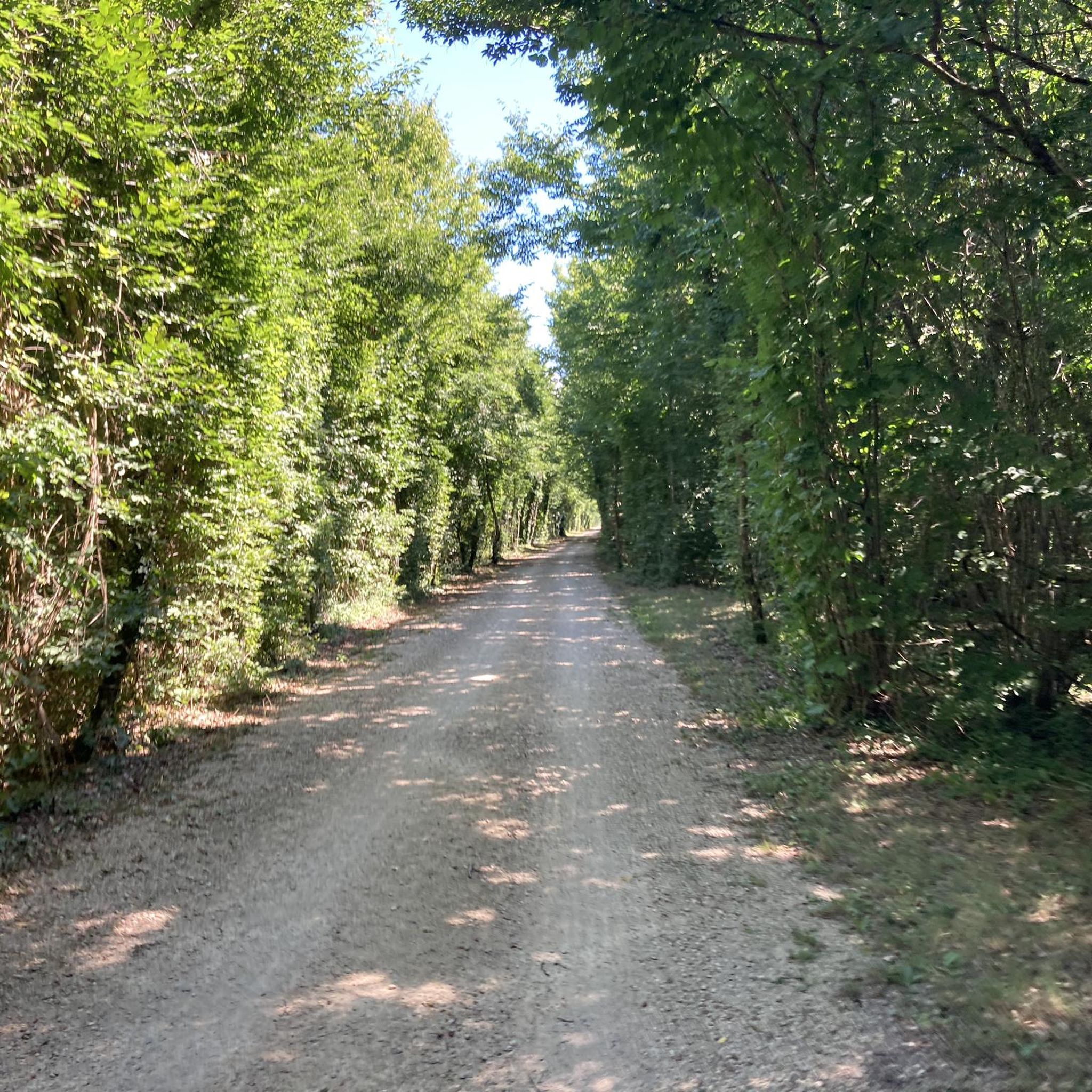
Hikes around Sermérieu generally feature gentle terrain with mild ascents. You can expect to traverse rural landscapes, open fields, and woodlands, often connecting small villages and passing by local ponds. The paths are suitable for a range of fitness levels, from leisurely walks to more moderate excursions.
Are there any family-friendly hiking options near Sermérieu?
Yes, Sermérieu offers several easy routes suitable for families. For instance, the Étang Bouvet – Château de Montagnieu loop from Camping Les 3 Lacs du Soleil is an easy 3.7-mile (6.0 km) path that explores waterside areas and passes by a historic château, perfect for a relaxed family outing.
What are the best places to find panoramic views while hiking in the Sermérieu area?
For breathtaking panoramic views, head to the Madonna du Moulin à Vent. This site features an orientation table that offers exceptional vistas of the surrounding countryside, extending to the Alpine and Pre-Alpine mountains, including the Bauges, Chartreuse, Belledonne, and Vercors massifs.
What interesting landmarks or attractions can I see along the hiking trails?
Many trails in the region pass by notable landmarks. You might encounter historical sites like the Chateau de Chapeau Cornu or the Tomb of Paul Claudel. Natural features such as the Étang de la Rosière are also popular spots to explore.
Are there any circular hiking routes available around Sermérieu?
Yes, many routes around Sermérieu are designed as loops. A popular moderate option is the Chateau de Chapeau Cornu – Poulet Tower loop from La Tour-du-Pin, which is 6.7 miles (10.8 km) and takes about 3 hours to complete, featuring historical landmarks and varied scenery.
What do other hikers enjoy most about hiking in Sermérieu?
The area is highly rated by the komoot community, with an average score of 4.5 stars from over 270 reviews. Hikers often praise the region's diverse terrain, the blend of natural landscapes and cultural heritage, and the well-maintained paths that offer both tranquil walks and rewarding panoramic views.
Is it possible to access hiking trails around Sermérieu using public transport?
While specific public transport connections directly to all trailheads are not detailed, the region is part of the Balcons du Dauphiné, which has organized hikes. For detailed information on public transport options to specific starting points, it's advisable to check local transport schedules or contact the Balcons du Dauphiné tourist office.
Are there designated picnic areas along the hiking routes?
Yes, the region encourages visitors to enjoy nature with several designated picnic areas. Notable spots include those at Madone du Moulin à Vent, Les Ferrandières, and Le Marteray, allowing you to relax and dine amidst the scenic surroundings.
What is a good moderate hike to experience the rural landscapes near Sermérieu?
The Morestel Castle Tower – The Garden of Poets loop from Morestel is a moderate 6.1-mile (9.8 km) trail that takes you through rural landscapes and past historical points of interest, offering a good balance of distance and scenery.
Are there any easy historical walks in the area?
Yes, an easy historical walk is the Abbey Church of Saint-Chef loop from La Tour-du-Pin. This 3.3-mile (5.2 km) route allows you to explore historical sites with minimal elevation gain, making it accessible for a relaxed outing.
Most popular routes around Sermérieu
Most popular attractions around Sermérieu

Get inspired with the komoot mobile app


Explore more
Browse the best Hikes in other regions.
