The best mountain hikes around Peisey-Nancroix
4.7
(25)
136
hikers
22
hikes
Mountaineering routes around Peisey-Nancroix are situated within the Vanoise National Park, characterized by high alpine peaks, deep valleys, and extensive forests. The terrain includes challenging rock faces, glacial cirques, and varied elevation changes suitable for experienced mountaineers. The region features numerous mountain passes and access to high-altitude refuges.
Best mountaineering routes around Peisey-Nancroix
- The most popular mountaineering route is Peisey Via Ferrata – Lac de la Grassaz loop from Refuge de Rosuel, a 9.5 miles (15.3 km) trail that takes 6 hours 28 minutes to complete, featuring challenging via ferrata sections and scenic lake views.
- Another top favourite among local mountaineers is L'Aiguille Percée loop from Tignes, a moderate 4.8 miles (7.7 km) path. This route offers views of distinctive rock formations and alpine meadows.
- Local mountaineers also love the Col de Plan Séry – Glière Refuge loop from Le Laisonnay d'En Bas, a 6.5 miles (10.5 km) trail leading through high mountain passes and offering access to a refuge, often completed in about 3 hours 19 minutes.
- Mountaineering around Peisey-Nancroix is defined by alpine valleys, high mountain passes, and dense forests. The network offers options for different ability levels, from moderate ascents to difficult multi-hour expeditions.
- The routes in Peisey-Nancroix are highly rated by the komoot community with an average score of 4.7 stars from over 20 reviews. More than 100 mountaineers have used komoot to explore Peisey-Nancroix's varied terrain.
Last updated: July 1, 2026
4.5
(2)
19
hikers
15.1km
06:26
770m
770m
Hard mountaineering route. Very good fitness required. Mostly accessible paths. Sure-footedness required.
4.5
(2)
10
hikers
8.00km
03:27
610m
610m
Moderate mountaineering route. Good fitness required. Mostly accessible paths. Sure-footedness required.

Sign up for free
5.0
(1)
10
hikers
10.5km
03:19
440m
440m
Moderate mountaineering route. Good fitness required. Easily-accessible paths. Suitable for all skill levels.
5.0
(2)
8
hikers
16.5km
05:22
760m
760m
Hard mountaineering route. Very good fitness required. Easily-accessible paths. Suitable for all skill levels.
5
hikers
13.4km
05:24
750m
750m
Hard mountaineering route. Very good fitness required. Mostly accessible paths. Sure-footedness required.
Get access to more routes and recommendations from other explorers.
Sign up for free
Already have an account?
Our route recommendations are based on thousands of hikes, rides, and runs completed by other people on komoot.
Start today with a free account
Your next adventure awaits.
Login or Signup
Popular around Peisey-Nancroix
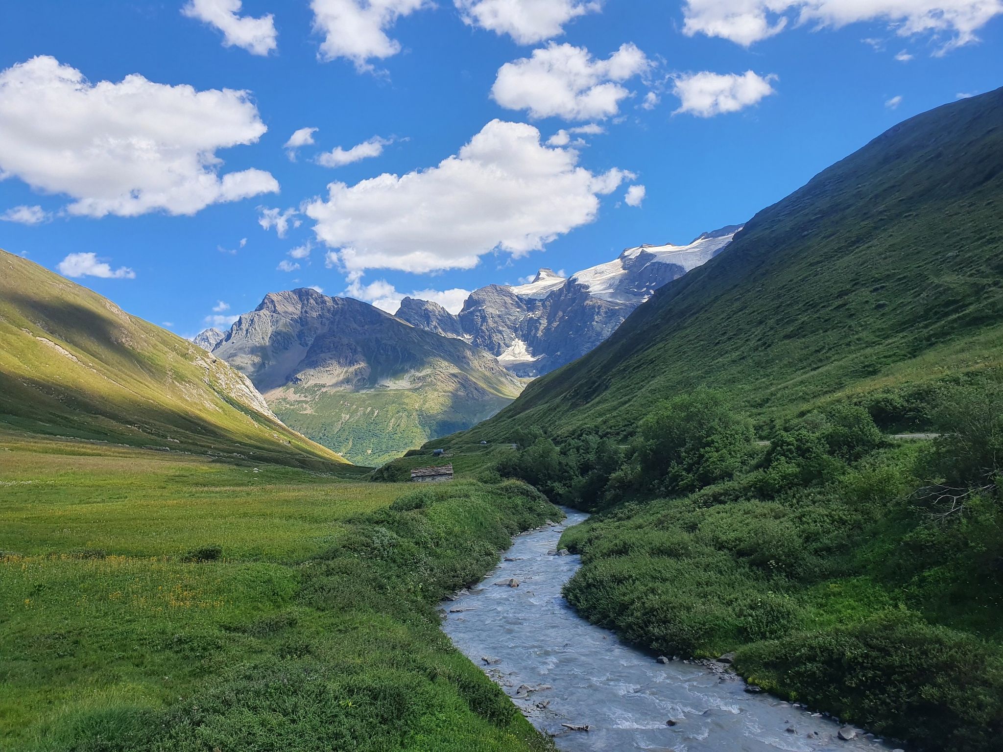
Europe Trail (GR 5) – Hike from Briançon to Landry
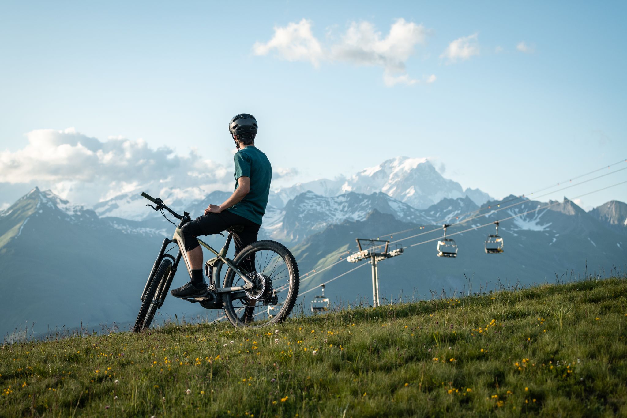
MTB routes around Bourg Saint Maurice – Les Arcs

Hike from Savoie to Vanoise – Hexatrek in France’s Northern Alps
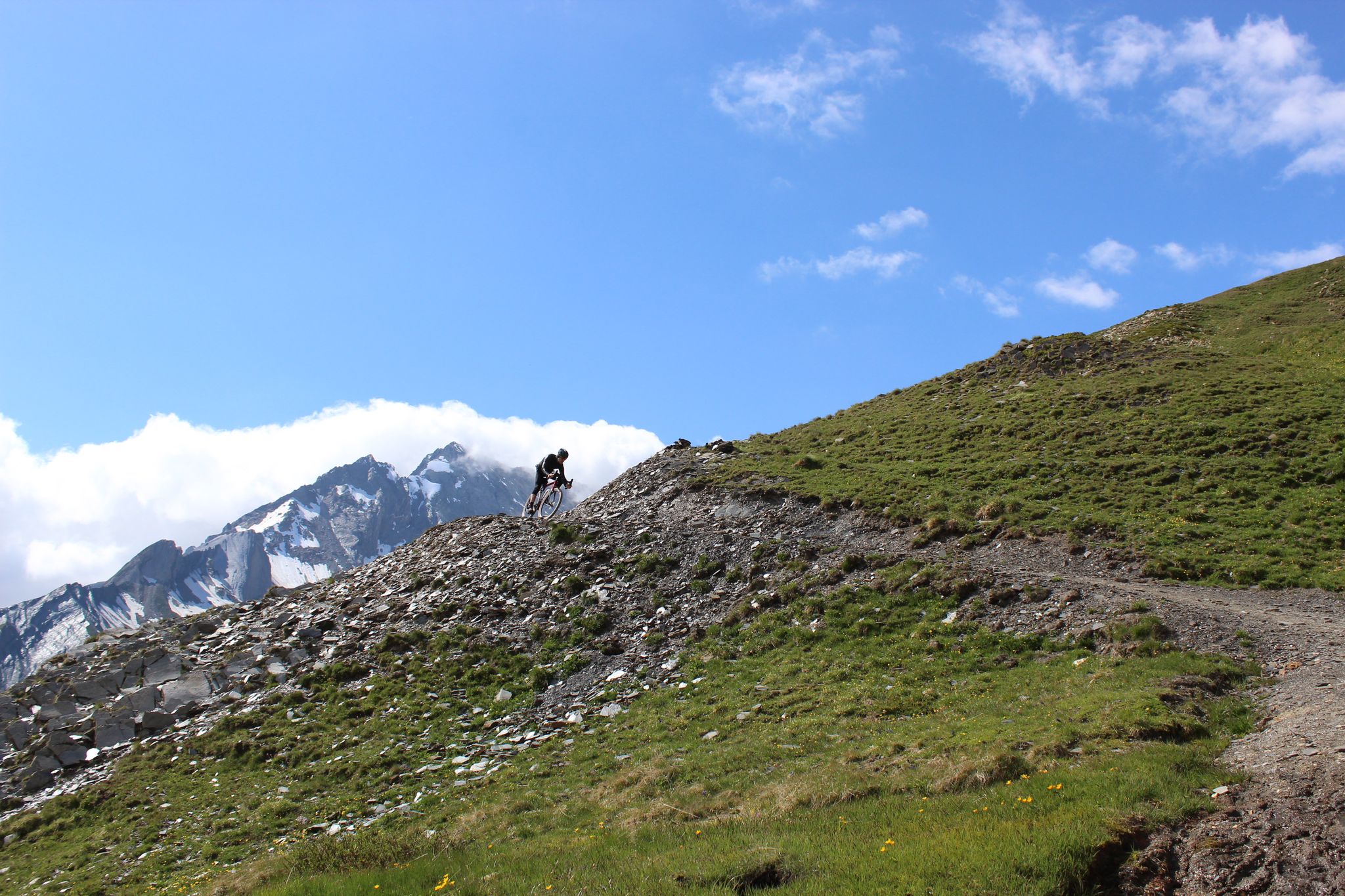
Spectacular Alpine gravel roads of the Tarentaise Valley
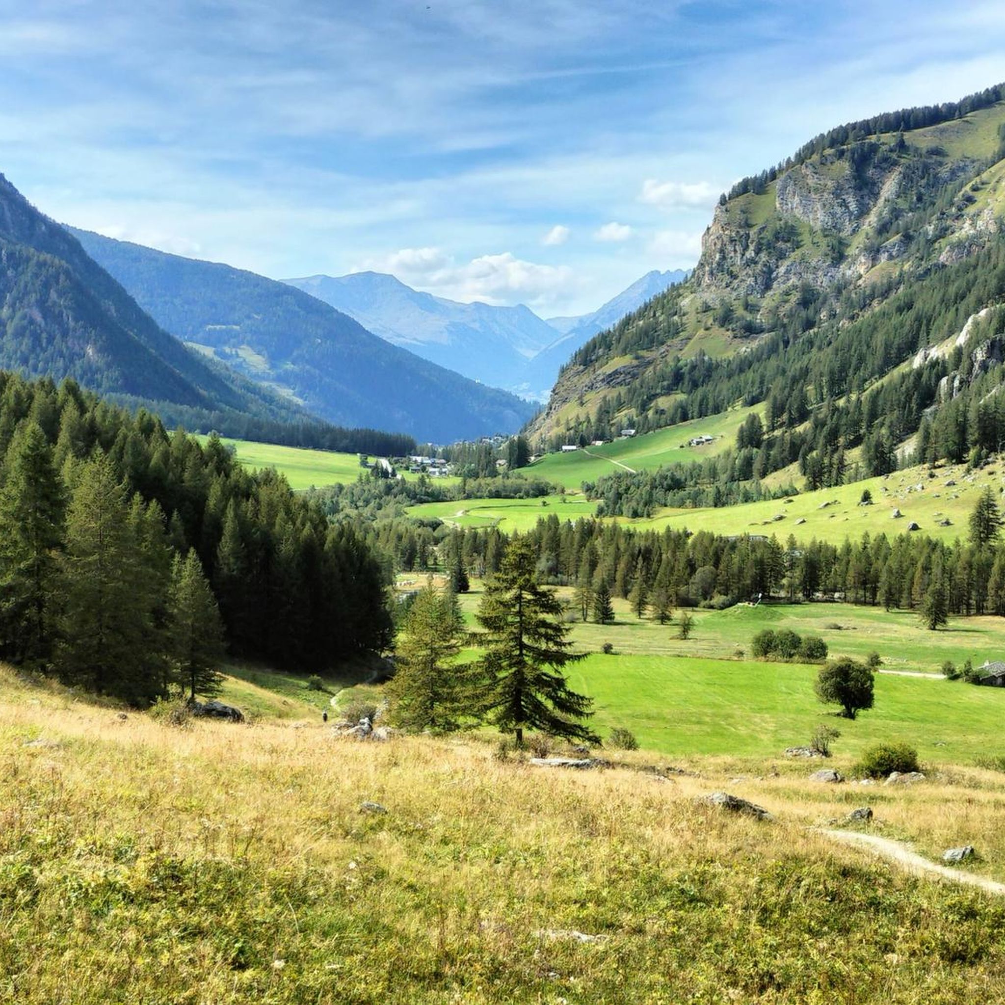
Road Cycling Routes around Peisey-Nancroix
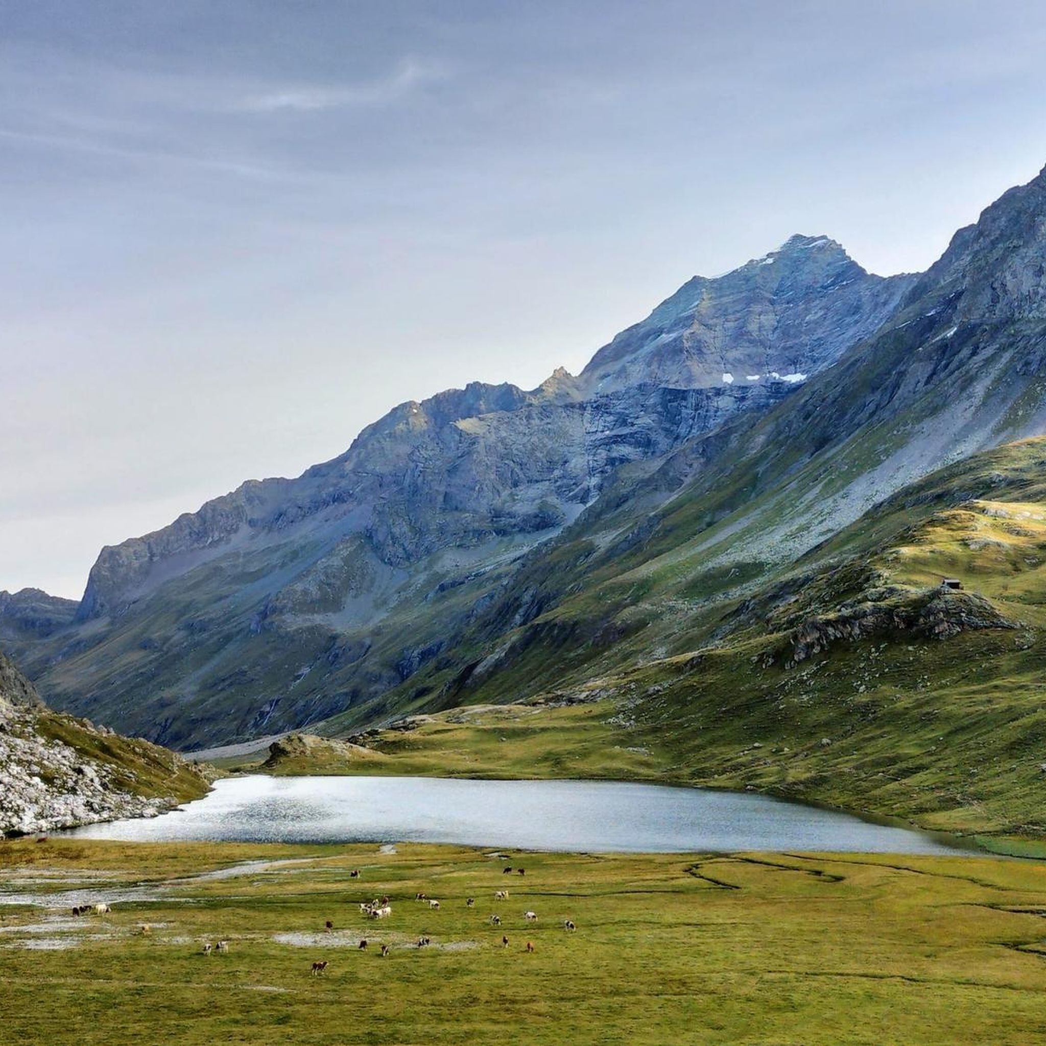
Hiking around Peisey-Nancroix
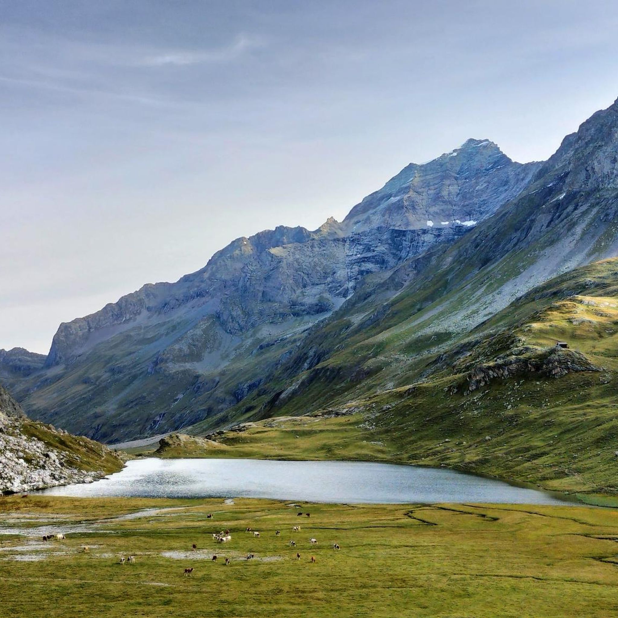
MTB Trails around Peisey-Nancroix
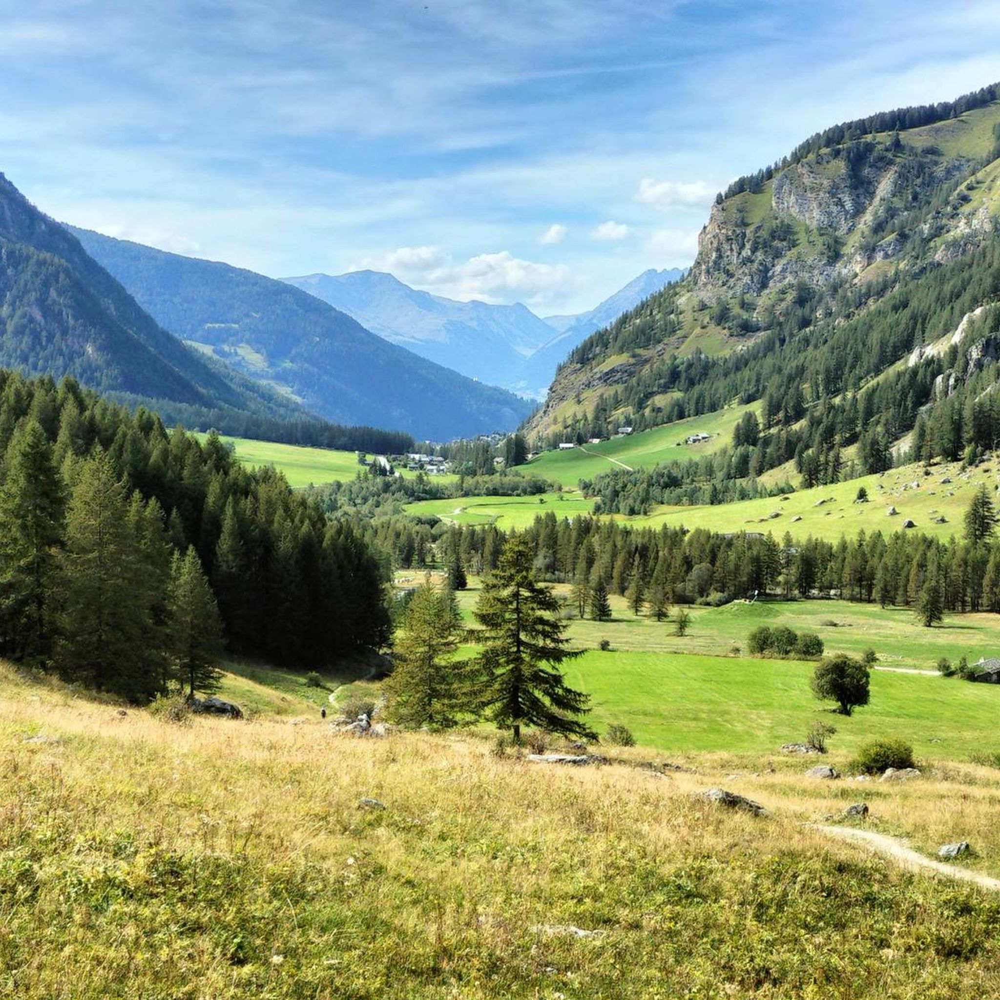
Running Trails around Peisey-Nancroix
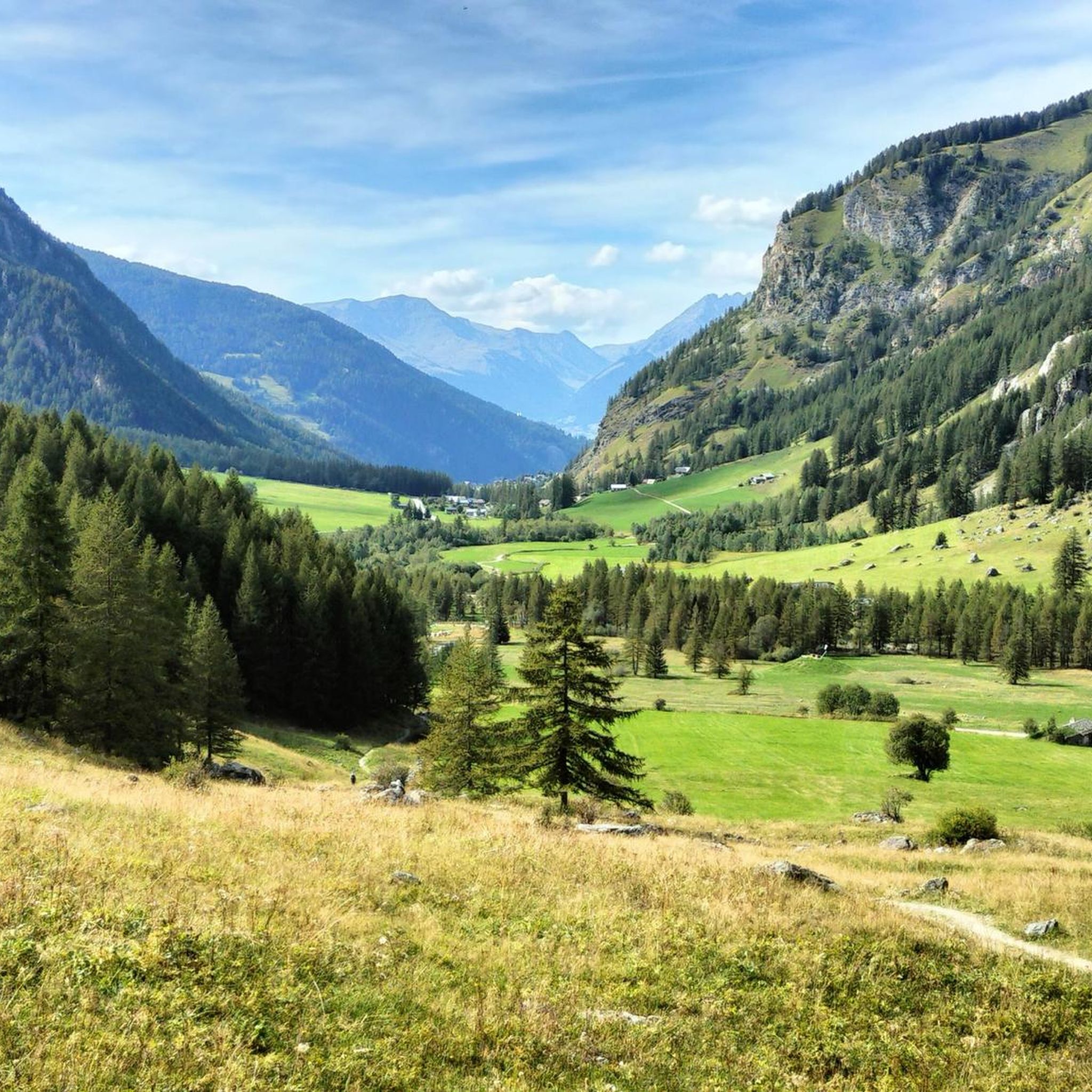
Cycling around Peisey-Nancroix

Gravel biking around Peisey-Nancroix
Other adventures around Peisey-Nancroix


Tips from the Community

Excellent spot indeed with a very long and cool black trail to return 👌😍
0
0

Rustic hut in renovated goat sheds; simple dormitory-style accommodation; great food; superb location at the end of the Ponturin high valley by a high-altitude lake; bivouac facilities
0
0

Information, contact, and opening hours: https://refuge-rosuel.vanoise.com/ The refuge is a starting point for numerous hikes and is a one-hour walk from the edge of the Vanoise National Park. It welcomes all visitors and provides information about the park. It is a stop on the GR5 long-distance hiking trail. A pair of bearded vultures nests nearby. https://www.vanoise-parcnational.fr/fr/fiche-apidae/refuge-de-rosuel-pnv
1
0

Lac du Palet is a mountain lake located at an altitude of 2,587 meters. The nearby "Refuge du Col du Palet" is a popular starting point for hikes in the region.
0
0
Grattaleu Lake is located just below a hill, behind the refuge. Overlooked by the Aiguille des Aimes and the Pointe du Chardonnet, the lake invites you to take a break before turning around to return to Tignes. Grattaleu Lake is one of the 130 high-altitude lakes in the Vanoise massif. Frozen in ice for nearly six months a year, only a few invertebrates live there.
0
0

Refueling that comes at just the right time!
0
0

A hike to the Glière refuge offers you an enriching experience in a breathtaking alpine landscape. The trail winds through lush meadows, alongside babbling brooks and beneath towering peaks, offering a mix of serene and spectacular scenery. Once you arrive at the refuge, you will be greeted by breathtaking views of the surrounding mountains, making it an ideal place to rest or have a picnic.
0
0
Frequently Asked Questions
How many mountaineering routes are available around Peisey-Nancroix?
There are over 25 mountaineering routes around Peisey-Nancroix, offering a wide range of options for different skill levels and preferences within the Vanoise National Park.
What is the general difficulty level of mountaineering routes in Peisey-Nancroix?
The routes around Peisey-Nancroix primarily feature moderate to difficult terrain. While there is 1 easy route, the majority (16) are moderate, and 8 are considered difficult, suitable for experienced mountaineers seeking challenging ascents and varied alpine landscapes.
Are there any beginner-friendly mountaineering routes in the area?
While most routes are moderate to difficult, there is at least one easy mountaineering route available. For those new to mountaineering, it's advisable to start with routes that have less elevation gain and shorter distances, and always ensure you have appropriate gear and experience for the alpine environment.
Can I find challenging mountaineering routes around Peisey-Nancroix?
Yes, Peisey-Nancroix offers several challenging mountaineering routes. For example, the Peisey Via Ferrata – Lac de la Grassaz loop from Refuge de Rosuel is a difficult 9.5-mile trail featuring via ferrata sections. Another demanding option is the Mio Rock loop from Mâcot-la-Plagne, which covers over 10 miles with significant elevation changes.
Are there circular mountaineering routes available?
Yes, many mountaineering routes in Peisey-Nancroix are designed as circular loops, allowing you to start and end at the same point. Examples include the L'Aiguille Percée loop from Tignes and the Col de Plan Séry – Glière Refuge loop from Le Laisonnay d'En Bas.
What are some notable landmarks or attractions I can see while mountaineering?
The region is rich in natural beauty and points of interest. You might encounter stunning alpine lakes like Lake of the Cows, or pass by mountain refuges such as Col de la Vanoise Refuge and Refuge de Rosuel. Other highlights include the picturesque village of Le Monal and various viewpoints like Chapelle Notre-Dame des Vernettes.
What do other mountaineers say about the routes in Peisey-Nancroix?
The mountaineering routes in Peisey-Nancroix are highly regarded by the komoot community, with an average rating of 4.7 stars from over 20 reviews. Users often praise the challenging terrain, stunning high-alpine scenery, and the well-maintained paths that lead through deep valleys and past impressive peaks.
What is the typical duration for mountaineering routes in Peisey-Nancroix?
Route durations vary significantly based on distance and difficulty. Shorter, moderate routes like the Col de Plan Séry – Glière Refuge loop can take around 3 hours 19 minutes, while more challenging and longer expeditions, such as the Peisey Via Ferrata – Lac de la Grassaz loop, can extend to over 6 hours.
When is the best time of year for mountaineering in Peisey-Nancroix?
The prime season for mountaineering in Peisey-Nancroix, located within the Vanoise National Park, is typically from late spring to early autumn (June to September). During these months, snow has largely melted from higher elevations, and weather conditions are generally more stable. Winter mountaineering is possible but requires specialized equipment, skills, and awareness of avalanche risks.
Are there any routes suitable for families?
While mountaineering routes are generally more demanding than hiking trails, some of the shorter, moderate loops might be suitable for families with older children who have some mountaineering experience and are well-equipped. Always check the specific route's difficulty and elevation profile before setting out with family members.
Where can I find parking for mountaineering trailheads?
Many popular trailheads in the Peisey-Nancroix area, especially those leading into the Vanoise National Park, offer designated parking areas. For example, routes starting from Refuge de Rosuel or Le Laisonnay d'En Bas typically have parking facilities. It's always recommended to check specific route descriptions for parking information, especially during peak season when spaces can fill up quickly.
Are there any mountain refuges along the routes for overnight stays or breaks?
Yes, the Vanoise National Park region is well-equipped with mountain refuges. You can find refuges like the Col de la Vanoise Refuge and Refuge de Rosuel, which offer opportunities for breaks, refreshments, or even overnight stays, depending on the route and your plans. It's advisable to book in advance, especially during high season.
Are there opportunities for wild swimming near the mountaineering routes?
While not explicitly designated for swimming, the region features several beautiful alpine lakes. Lake of the Cows, for instance, is a notable natural attraction. Be aware that alpine lake waters are typically very cold, and always respect local regulations regarding swimming in protected areas within the Vanoise National Park.
Most popular routes around Peisey-Nancroix
Most popular attractions around Peisey-Nancroix

Get inspired with the komoot mobile app


Explore more
Browse the best Mountain Hikes & Routes in other regions.
