The best walks and hikes around Maravat
4.1
(9)
70
hikers
18
hikes
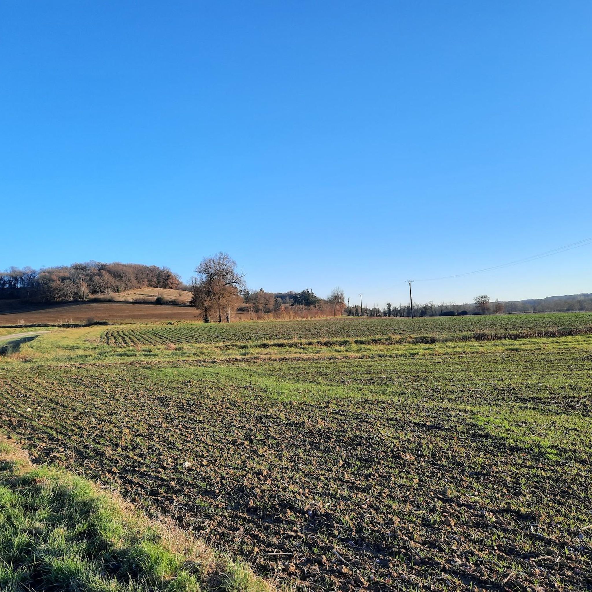
Hiking around Maravat, located in the Gers department of France, offers trails through a landscape characterized by rolling hills and rural terrain. The region features a mix of agricultural areas, small villages, and natural water features like ponds. Elevations are generally moderate, providing accessible hiking experiences without significant mountain ascents.
Best hiking trails around Maravat
- The most popular hiking route is Église de Mauvezin – Mauvezin loop from Mauvezin, a 5.9 miles (9.5 km) trail that takes 2 hours…
Last updated: May 17, 2026
3.0
(2)
9
hikers
13.9km
03:39
110m
110m
Moderate hike. Good fitness required. Easily-accessible paths. Suitable for all skill levels.
3.0
(2)
5
hikers
14.8km
03:57
170m
170m
Moderate hike. Good fitness required. Easily-accessible paths. Suitable for all skill levels.

Sign up for free
3.0
(1)
6
hikers
15.5km
04:13
230m
230m
Moderate hike. Good fitness required. Easily-accessible paths. Suitable for all skill levels.
3
hikers
8.48km
02:14
70m
70m
Moderate hike. Good fitness required. Easily-accessible paths. Suitable for all skill levels.
5.0
(1)
1
hikers
19.0km
05:10
270m
270m
Hard hike. Very good fitness required. Easily-accessible paths. Suitable for all skill levels.
Get access to more routes and recommendations from other explorers.
Sign up for free
Already have an account?
Our route recommendations are based on thousands of hikes, rides, and runs completed by other people on komoot.
Start today with a free account
Your next adventure awaits.
Login or Signup


Tips from the Community

Mauvezin, built on a rocky outcrop, dominates the Arratz valley. You will find many shops and services there.
1
0

Frequently Asked Questions
What kind of terrain can I expect when hiking around Maravat?
Hiking around Maravat, located in the Gers department of France, primarily features rolling hills and rural terrain. You'll encounter a mix of agricultural fields, paths through small villages, and natural water features like ponds. The elevations are generally moderate, making for accessible hiking experiences without significant mountain ascents.
How many hiking trails are available in the Maravat area?
There are over 18 hiking trails available around Maravat. These routes offer a range of experiences, from easy strolls to more challenging paths, catering to various fitness levels.
Are there any easy hiking trails suitable for beginners in Maravat?
Yes, Maravat offers a few easy hiking trails perfect for beginners or those looking for a relaxed walk. In total, there are 2 easy routes available, allowing you to enjoy the rural scenery at a comfortable pace.
Are there any circular walking routes in Maravat?
Yes, many of the trails around Maravat are designed as circular routes, allowing you to start and end in the same location. For example, you could explore the local countryside on the Église de Mauvezin – Mauvezin loop from Mauvezin, or enjoy views of the rural landscape on the Église de Mauvezin loop from Mauvezin.
What do other hikers enjoy most about hiking in Maravat?
The Maravat area is highly rated by the komoot community, with an average score of 4.1 stars. Hikers often praise the peaceful rural landscape, the gentle rolling hills, and the opportunity to explore charming small villages and natural ponds.
Are there any trails that pass by water features like ponds?
Yes, some trails in Maravat incorporate natural water features. For instance, the Mauvezin pond – Église de Mauvezin loop from Mauvezin is a 9.1-mile trail that leads through varied rural scenery, including a local pond and church.
What is the typical duration for a moderate hike in Maravat?
Moderate hikes in Maravat can vary in length and duration. For example, the Église de Mauvezin – Mauvezin loop from Mauvezin is about 5.9 miles (9.5 km) and typically takes around 2 hours 34 minutes to complete. Longer moderate routes, like the Mauvezin pond loop from Mauvezin, which is 9.6 miles (15.5 km), can take closer to 4 hours.
What is the best time of year to go hiking in Maravat?
While specific seasonal considerations for Maravat are not detailed, the Gers department generally offers pleasant hiking conditions in spring and autumn when temperatures are mild. Summer can be warm, making early morning or late afternoon hikes preferable. Winter hiking is possible, but trails might be muddy after rain.
Are there any challenging or difficult hiking routes in Maravat?
Yes, for those seeking a more strenuous experience, Maravat does offer some challenging routes. There are 2 difficult trails available, providing more demanding ascents and longer distances within the region's rolling landscape.
Can I find trails that start from different villages in the Maravat area?
Yes, the hiking network around Maravat includes routes that start from various points. For example, you can find a moderate Hiking loop from Homps, offering a different starting point to explore the local countryside.
What kind of elevation changes should I expect on Maravat's trails?
The trails in Maravat are characterized by moderate elevation changes, reflecting the region's rolling hills. While there are no significant mountain ascents, you can expect gentle climbs and descents. For instance, a route like the Mauvezin pond – Église de Mauvezin loop from Mauvezin has an elevation gain of about 165 meters (541 feet).

Get inspired with the komoot mobile app


Explore more
Browse the best Hikes in other regions.
