The best road cycling routes around Laroquevieille
4.3
(105)
3,684
riders
95
rides
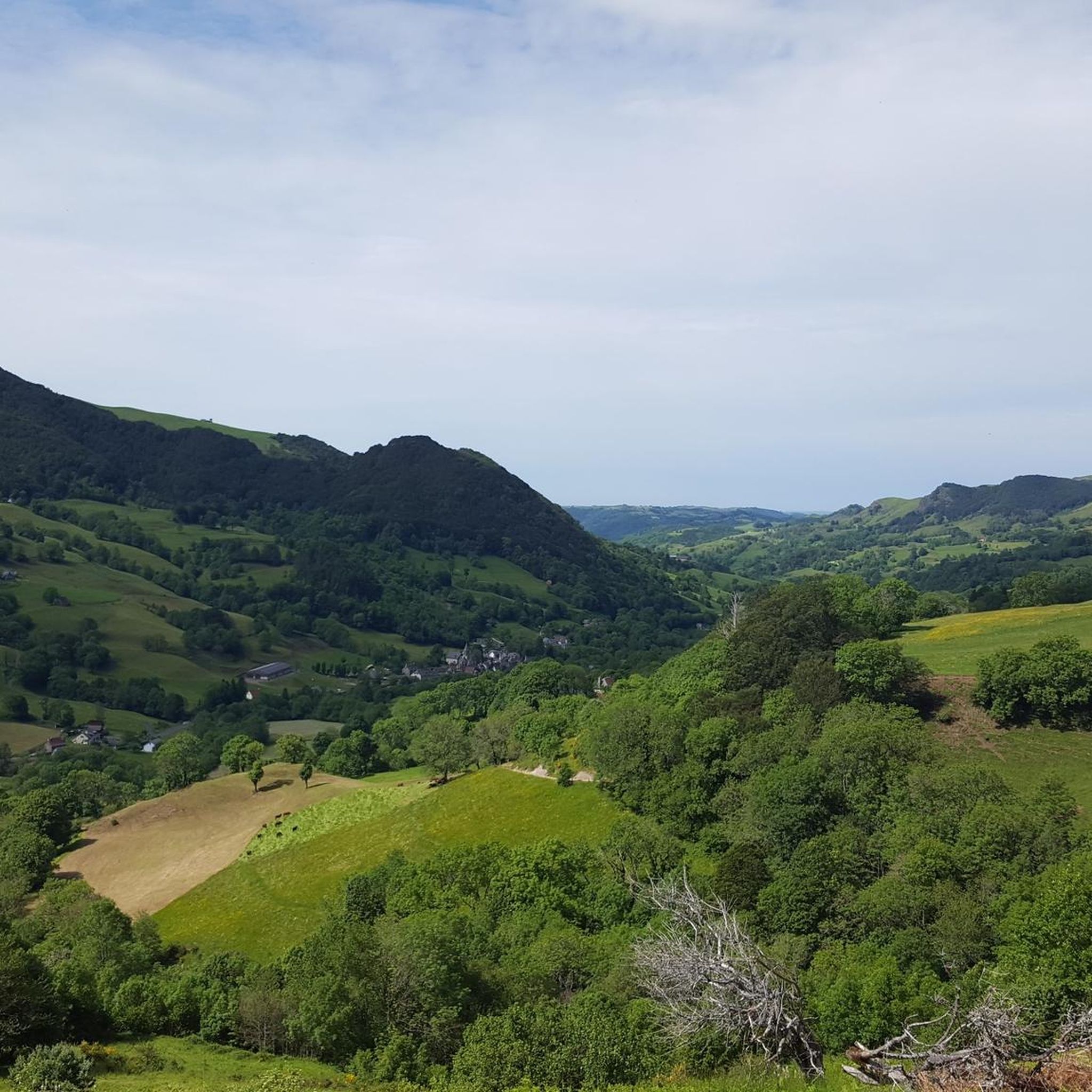
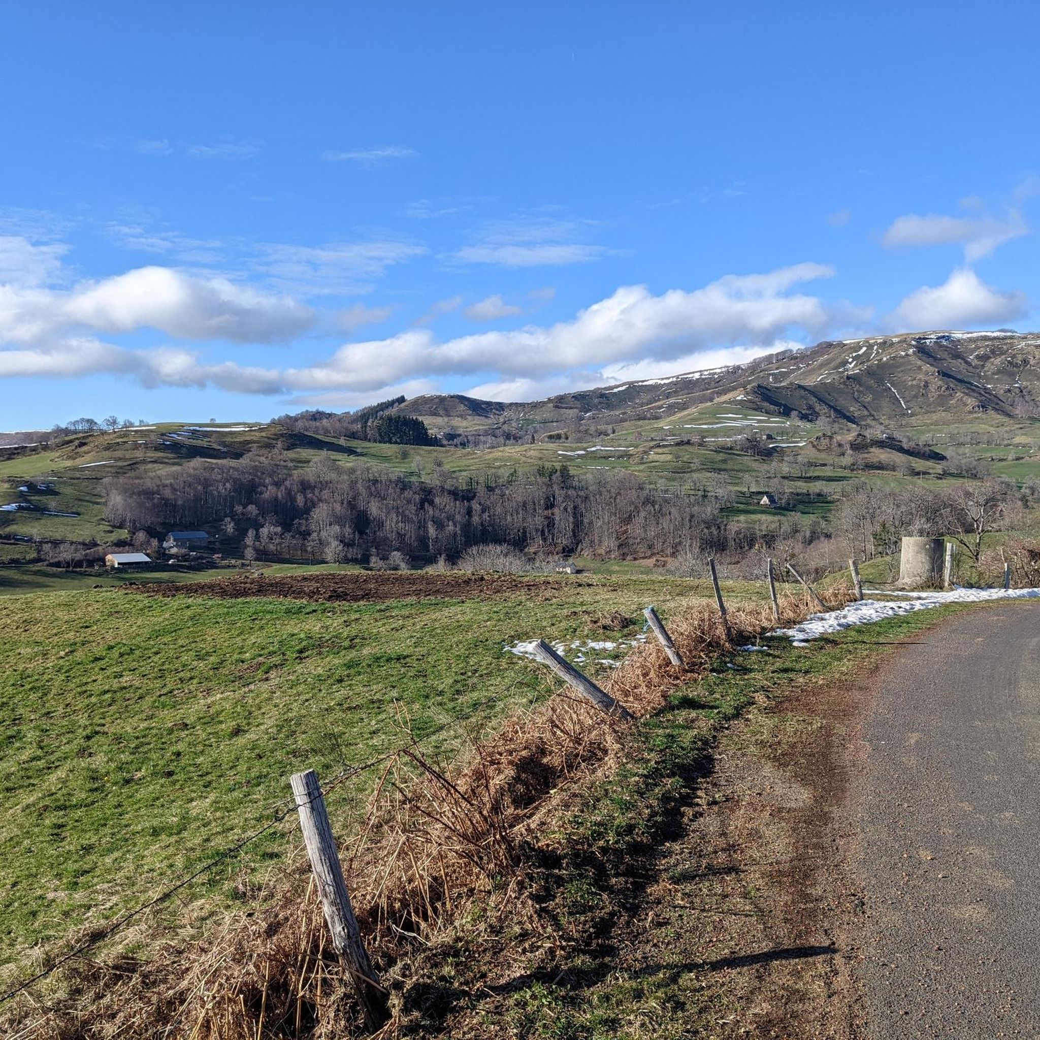
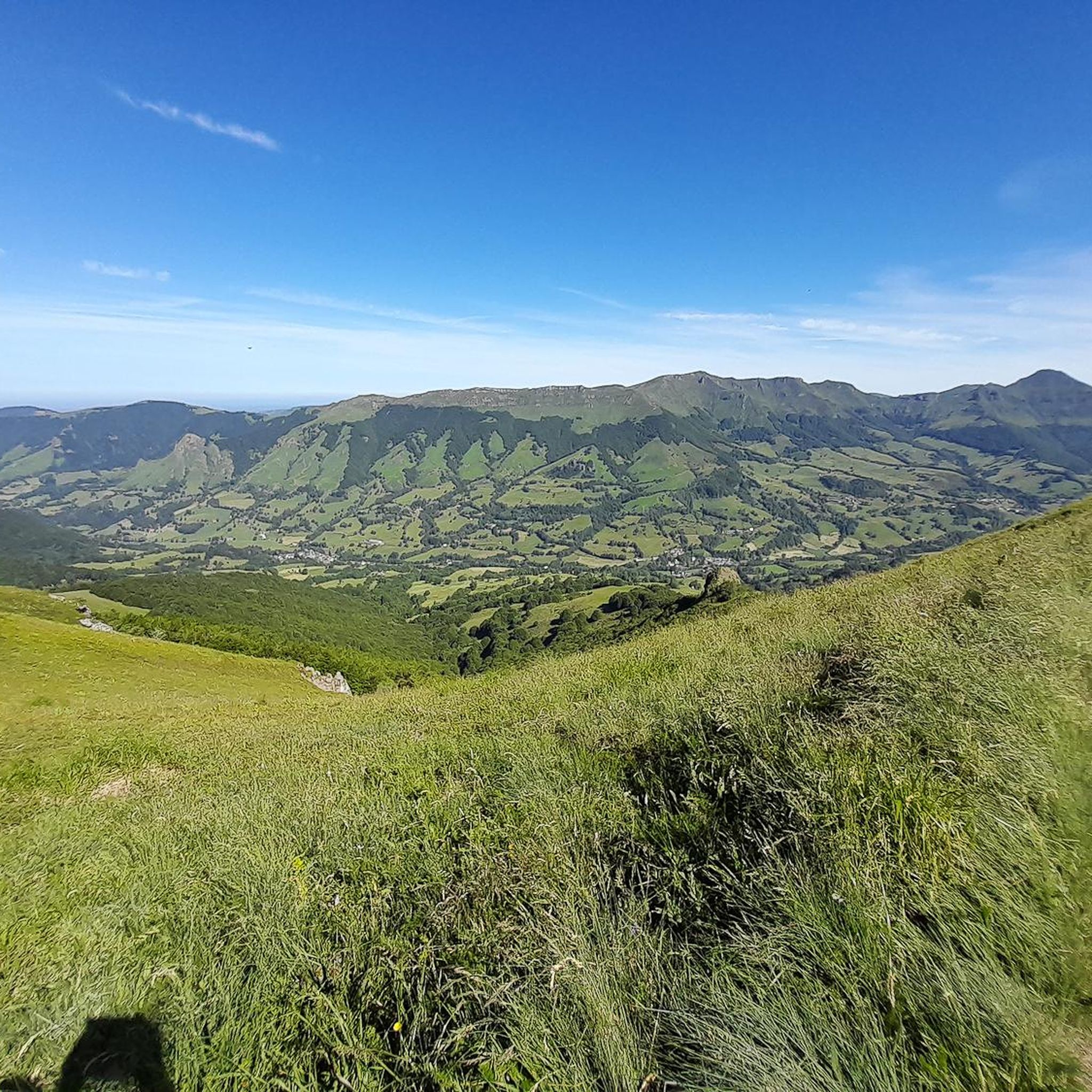
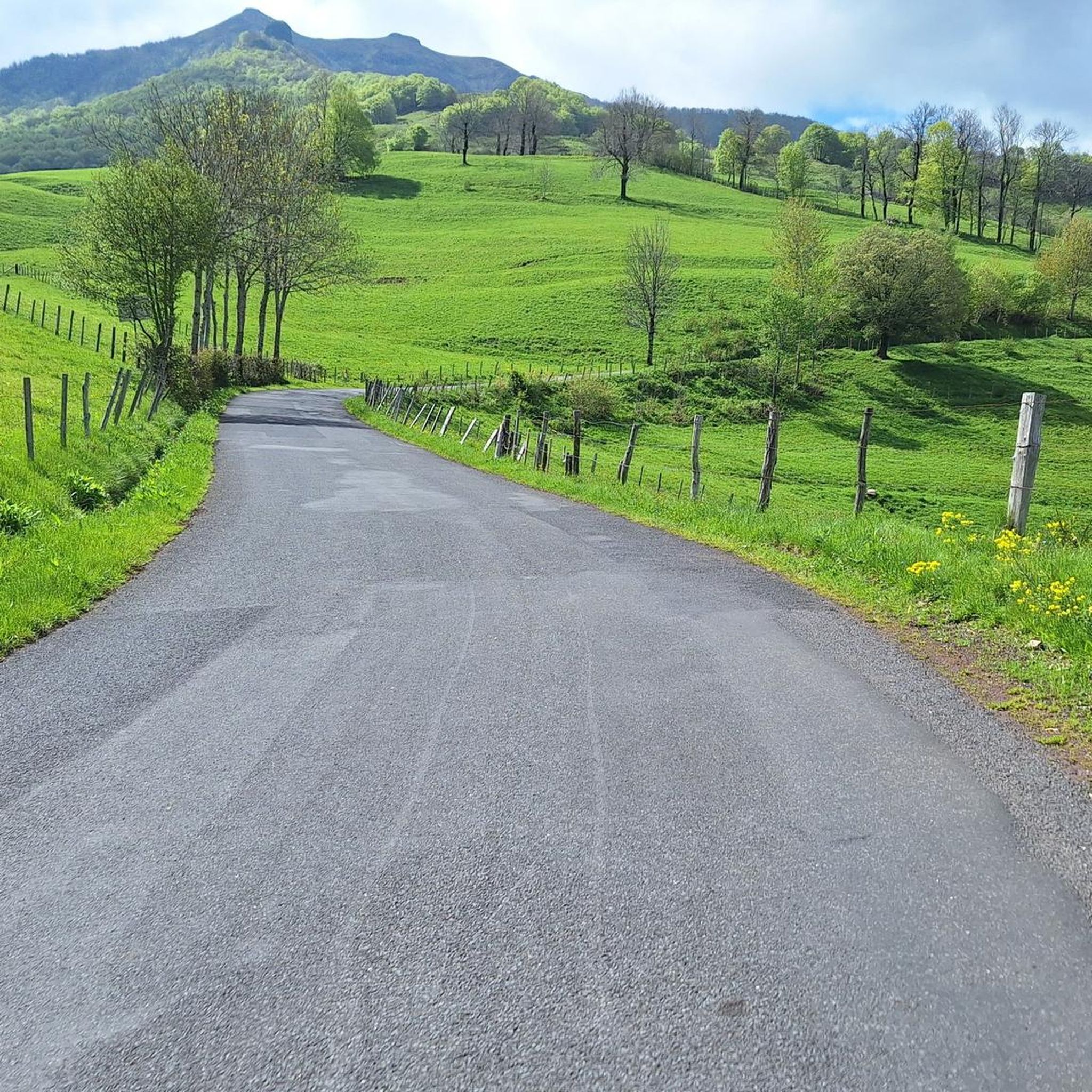
Road cycling routes around Laroquevieille are situated within the Cantal region, part of the Auvergne Volcanoes Regional Park, offering a diverse landscape for cyclists. The terrain features a mix of mountains, forests, and valleys, shaped by dormant volcanoes. Cyclists can expect varied elevations, from undulating roads in river valleys to significant climbs towards higher plateaus and volcanic massifs. The region is characterized by its volcanic landscapes, including passes, and verdant river gorges.
Best road cycling routes around Laroquevieille
- The most popular road cycling route is Pas de Peyrol and Puy Mary loop from Saint-Cirgues-de-Jordanne, a 24.8 miles (40.0 km) difficult trail that takes 2 hours 18 minutes to complete. This route features significant elevation gain through the volcanic Cantalien massif.
- Another top favourite among local road cyclists is View of Oyez Castle loop from Velzic, an easy 16.0 miles (25.8 km) path. This route offers views of historic landmarks and gentle gradients suitable for a relaxed ride.
- Local road cyclists also love the Mandailles – Col de la Croix de Cheules loop from Laroquevieille, a 21.3 miles (34.3 km) trail leading through varied terrain with moderate climbs, often completed in about 1 hour 52 minutes.
- Road cycling around Laroquevieille is defined by volcanic landscapes, river gorges, and high plateaus. The network offers options for different ability levels, from easy rides to challenging ascents.
- The routes in Laroquevieille are highly rated by the komoot community with an average score of 4.3 stars from more than 60 reviews. More than 2,500 road cyclists have used komoot to explore Laroquevieille's varied terrain.
Last updated: August 25, 2026
3.7
(3)
191
riders
32.8km
01:22
190m
190m
Easy road ride. Great for any fitness level. Mostly well-paved surfaces and easy to ride.
71
riders
45.1km
02:08
600m
600m
Moderate road ride. Good fitness required. Mostly well-paved surfaces and easy to ride.

Sign up for free
31
riders
27.7km
01:17
350m
350m
Moderate road ride. Good fitness required. Mostly well-paved surfaces and easy to ride.
5.0
(2)
21
riders
Moderate road ride. Good fitness required. Mostly well-paved surfaces and easy to ride.
5.0
(1)
17
riders
36.2km
01:56
680m
680m
Moderate road ride. Good fitness required. Some segments of this route may be unpaved and difficult to ride.
Get access to more routes and recommendations from other explorers.
Sign up for free
Already have an account?
Our route recommendations are based on thousands of hikes, rides, and runs completed by other people on komoot.
Start today with a free account
Your next adventure awaits.
Login or Signup
Tips from the Community

The Jordanne flows through Mandailles. At least not in summer (August) when it is dry.
0
0

Rain, visibility 1m, but otherwise great
0
0

Small entrance fee (2024): Adult 4.00 EUR Child 1.50 EUR Set price group adults 3.50 EUR Set price group children 1.00 EUR
0
0

The Jordanne Valley is a lush green valley that was formed as a glacial valley of the Puy Mary. A path through the dense greenery runs through the Jordanne Gorge, stretching for more than 3 km between the communities of Saint-Julien and Saint-Cirgues. A path with small footbridges and bridges allows visitors to discover this beautiful place and takes them deep into the gorge. There is a fee to enter.
1
0

Col de Légal, at an altitude of 1,231 meters, on the beautiful Route des Crêtes. It allows you to go from the Doire valley to the Bertrande valley, in the heart of the Pays de Salers. There you will find a small inn open all year round.
0
0


Oyez Castle from the 12th century with a mansion from the 16th century
0
0

Located in the heart of the Jordanne valley, Lac des Graves displays an exceptional and preserved setting. It's an ideal place for a walk or nap by the water!
0
0
Frequently Asked Questions
How many road cycling routes are available around Laroquevieille?
There are over 90 road cycling routes around Laroquevieille, offering a wide range of options for different skill levels. These include 4 easy routes, 52 moderate routes, and 35 difficult routes, ensuring there's something for everyone.
What kind of terrain can I expect on road cycling routes around Laroquevieille?
The terrain around Laroquevieille is diverse, characterized by the volcanic landscapes of the Cantal region and the Auvergne Volcanoes Regional Park. You'll encounter a mix of mountains, forests, and valleys, with varied elevations ranging from gently undulating roads in river valleys to significant climbs towards higher plateaus and volcanic massifs like the Pas de Peyrol and Puy Mary.
What natural features or landmarks can I see along road cycling routes in Laroquevieille?
Road cycling routes in Laroquevieille offer stunning views of volcanic terrain, such as the majestic Cantalien massif, and dramatic river gorges like the Cère river. You can also discover prominent lakes, including Lac De Saint-Etienne-Cantalès, which features a 124-meter Himalayan footbridge. Many routes pass through diverse environments of mountains, forests, and deep valleys.
Are there any historical sites or castles to explore while road cycling?
Yes, the region is rich in historical and cultural attractions. You can cycle through medieval villages like Laroquebrou, which features historic streets and a castle. The 'boucle des châteaux de la Cère' route specifically allows riders to discover various castles and manors, such as Comblat, Pesteils, Clavières, Vixouze, and the Olmet manor. You might also encounter sites like Bélédat du Cassaïre.
Are there road cycling routes suitable for families or beginners in Laroquevieille?
Yes, there are easy road cycling routes perfect for families or beginners. For instance, the View of Oyez Castle loop from Velzic is an easy 16.0-mile (25.8 km) path that offers gentle gradients and views of historic landmarks, ideal for a relaxed ride. The region's diverse network includes 4 easy routes designed for less experienced cyclists.
Are there challenging road cycling routes for experienced cyclists?
Absolutely. The Laroquevieille area, being part of the Cantal region, is known for its challenging climbs and has even been featured in the Tour de France. Experienced cyclists can tackle routes with significant elevation gains, such as the Pas de Peyrol and Puy Mary loop from Saint-Cirgues-de-Jordanne, a difficult 24.8-mile (40.0 km) trail with substantial climbing through the volcanic Cantalien massif. There are 35 difficult routes in total.
Are there loop road cycling routes available around Laroquevieille?
Yes, many road cycling routes around Laroquevieille are designed as loops, allowing you to start and finish in the same location. Examples include the Pas de Peyrol and Puy Mary loop from Saint-Cirgues-de-Jordanne and the Mandailles – Col de la Croix de Cheules loop from Laroquevieille, which leads through varied terrain with moderate climbs.
What is the best time of year for road cycling in Laroquevieille?
The Cantal region, including Laroquevieille, is generally best for road cycling from spring through autumn. During these seasons, the weather is typically more favorable, and the landscapes are vibrant. Summer offers warmer temperatures, while spring and autumn provide cooler rides and beautiful scenery, especially with changing foliage.
Where can I find parking for road cycling routes in Laroquevieille?
Parking availability varies by starting point. Many routes begin from villages or towns like Laroquevieille, Velzic, or Saint-Cirgues-de-Jordanne, where public parking is often available. It's advisable to check specific route details on komoot for recommended starting points and parking information.
What amenities are available along the road cycling routes, such as cafes or accommodation?
The region features charming villages and towns along many routes where you can find amenities. Laroquebrou, for example, is a 'small city of character' with services. Larger towns like Aurillac, nearby, offer a wider range of cafes, restaurants, and accommodation options. Many routes pass through areas where you can stop for refreshments or find lodging.
Can I access road cycling routes in Laroquevieille using public transport?
While Laroquevieille itself is a smaller commune, the broader Cantal region has some public transport options, primarily bus services connecting larger towns. Accessing specific route starting points directly by public transport might be limited. It's best to research local bus schedules for connections to major hubs like Aurillac and then plan your cycling route from there, or consider driving to a suitable starting point.
What do other road cyclists say about the routes in Laroquevieille?
The road cycling routes around Laroquevieille are highly rated by the komoot community, with an average score of 4.3 stars from over 60 reviews. More than 2,500 road cyclists have explored the varied terrain using komoot, often praising the stunning volcanic landscapes, the challenging climbs, and the picturesque villages encountered along the way.
Most popular attractions around Laroquevieille

Get inspired with the komoot mobile app


Explore more
Browse the best Road cycling routes in other regions.
