The best road cycling routes around Lascelle
4.2
(70)
2,109
riders
63
rides
Road cycling routes around Lascelle are set within the mountainous Cantal region of France, characterized by its dramatic volcanic terrain. This landscape features rolling hills, extinct volcanoes, and numerous challenging mountain passes, known as "cols." The region also includes the picturesque Jordanne Valley, offering varied gradients and scenic riverside sections for cyclists.
Best road cycling routes around Lascelle
- The most popular road cycling route is Col de Pertus et Lac des Graves - loop, a 46.2 miles (74.4 km)…
Last updated: May 20, 2026
5.0
(2)
26
riders
74.4km
04:16
1,700m
1,700m
Hard road ride. Very good fitness required. Some segments of this route may be unpaved and difficult to ride.
4.0
(2)
89
riders
55.3km
03:06
940m
940m
Hard road ride. Very good fitness required. Mostly well-paved surfaces and easy to ride.

Sign up for free
4.0
(5)
60
riders
34.8km
01:53
670m
670m
Moderate road ride. Good fitness required. Some segments of this route may be unpaved and difficult to ride.
3.0
(1)
40
riders
46.5km
02:31
960m
960m
Hard road ride. Very good fitness required. Mostly well-paved surfaces and easy to ride.
35
riders
49.1km
02:57
1,110m
1,110m
Hard road ride. Very good fitness required. Some segments of this route may be unpaved and difficult to ride.
Get access to more routes and recommendations from other explorers.
Sign up for free
Already have an account?
Our route recommendations are based on thousands of hikes, rides, and runs completed by other people on komoot.
Start today with a free account
Your next adventure awaits.
Login or Signup

Tips from the Community

Rain, visibility 1m, but otherwise great
0
0

Small entrance fee (2024): Adult 4.00 EUR Child 1.50 EUR Set price group adults 3.50 EUR Set price group children 1.00 EUR
0
0

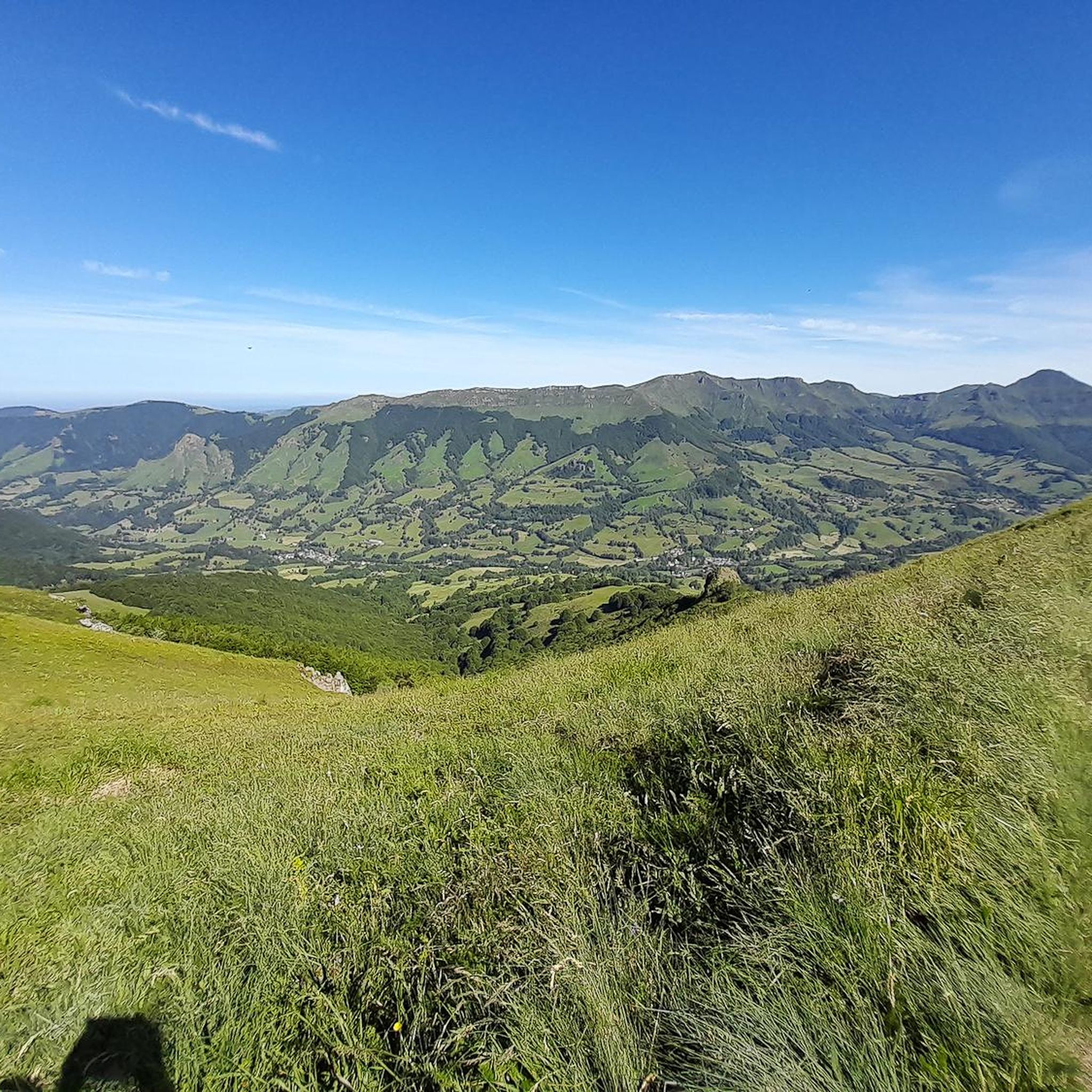
The Jordanne Valley is a lush green valley that was formed as a glacial valley of the Puy Mary. A path through the dense greenery runs through the Jordanne Gorge, stretching for more than 3 km between the communities of Saint-Julien and Saint-Cirgues. A path with small footbridges and bridges allows visitors to discover this beautiful place and takes them deep into the gorge. There is a fee to enter.
1
0

Col de Légal, at an altitude of 1,231 meters, on the beautiful Route des Crêtes. It allows you to go from the Doire valley to the Bertrande valley, in the heart of the Pays de Salers. There you will find a small inn open all year round.
0
0

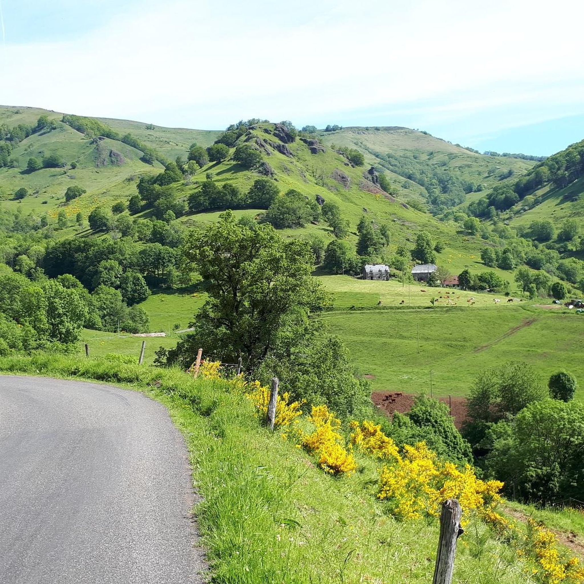
Typical village on the banks of the Jordane at the foot of Puy Mary
0
0

A truffade a sweet/salty pancake
0
0

At 954 meters, the Col Saint-Georges is a 2.8 kilometer long climb from Saint Projet de Salers with an elevation gain of 153 meters and an average gradient of 5.5%.
0
0

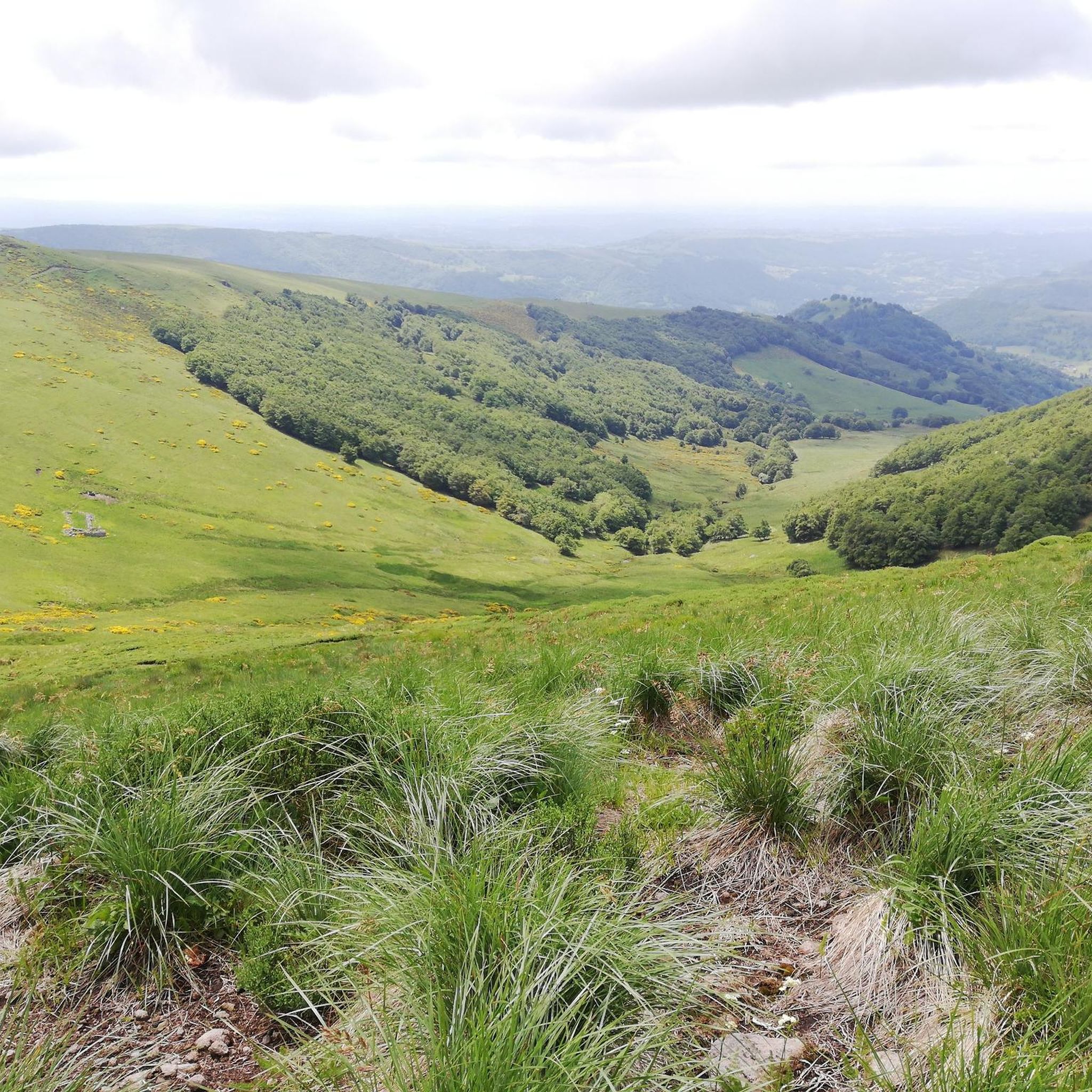
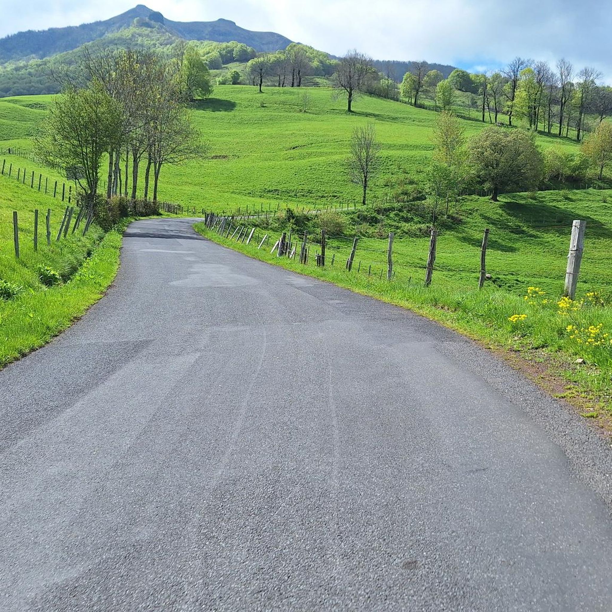
Pardon the flowery language, but real dirt. The ascent is very irregular, incredibly difficult in the first kilometer, especially with luggage. It is however very beautiful, and the cows will accompany you in this ascent. If the climb is difficult, the descent is just as difficult and you will have to stay on the brakes in gradients of almost 11 percent. I invite you to stop on the side of the road, to take full advantage of this postcard setting.
1
0
Frequently Asked Questions
How many road cycling routes are available around Lascelle?
There are over 50 road cycling routes around Lascelle, catering to various skill levels. You'll find a diverse network of paths, from easy rides to challenging mountain ascents.
What kind of terrain can I expect when road cycling near Lascelle?
The region around Lascelle is characterized by its dramatic volcanic terrain, offering a varied landscape for road cyclists. You can expect rolling hills, extinct volcanoes, and numerous challenging mountain passes, known as 'cols.' The picturesque Jordanne Valley also provides sections with gentler gradients and scenic riverside views.
Are there road cycling routes suitable for beginners in Lascelle?
Yes, Lascelle offers some routes suitable for beginners. For instance, the View of Oyez Castle loop from Velzic is an easy 16.0-mile (25.8 km) trail that leads through varied terrain and offers views of Oyez Castle.
What are some challenging road cycling routes in the Lascelle area?
For experienced cyclists seeking a challenge, the region boasts several difficult routes. The Col de Pertus et Lac des Graves - loop is a difficult 46.2-mile (74.4 km) trail featuring a significant ascent to Col de Pertus. Another demanding option is the Pas de Peyrol and Puy Mary loop from Saint-Cirgues-de-Jordanne, which navigates through iconic volcanic landscapes.
What natural landmarks can I see while road cycling around Lascelle?
The volcanic landscape of Cantal provides stunning natural landmarks. Many routes will take you past significant mountain passes like Pas de Peyrol Pass (1,589 m) and Pertus Pass. You might also catch glimpses of impressive peaks such as Puy Mary Summit and Puy Griou.
Are there any circular road cycling routes available?
Yes, many of the road cycling routes around Lascelle are designed as loops, allowing you to start and end at the same point. Examples include the challenging Col de Pertus et Lac des Graves - loop and the scenic Pas de Peyrol and Puy Mary loop from Saint-Cirgues-de-Jordanne.
What do other road cyclists enjoy most about road cycling in Lascelle?
The road cycling routes in Lascelle are highly rated by the komoot community, with an average score of 4.5 stars from over 70 reviews. Cyclists often praise the challenging mountain passes, the dramatic volcanic scenery, and the diverse terrain that offers something for every skill level.
What is the best time of year for road cycling in Lascelle?
Given the mountainous terrain and numerous cols, the best time for road cycling in Lascelle is typically from late spring through early autumn (May to October). During these months, the weather is generally more stable, and mountain passes are less likely to be affected by snow or ice, ensuring optimal riding conditions.
Are there any longer road cycling routes for endurance training?
Absolutely. For those looking for longer rides, the Serre Pass – Pas de Peyrol Pass (1,589 m) loop from Vic-sur-Cère is a difficult route spanning over 65 miles (104 km) with significant elevation gain, perfect for endurance training.
Can I find cafes or accommodation along the road cycling routes in Lascelle?
While specific amenities vary by route, the Cantal region is known for its welcoming villages and towns. Many routes will pass through or near places where you can find cafes, restaurants, and accommodation. It's advisable to check the route details or local information for specific stops before you set out.
What is the typical road surface quality like for cycling in Lascelle?
The road surface quality in the Lascelle area is generally good for road cycling, especially on main routes and passes. However, as with any mountainous region, some smaller, less-trafficked roads might have varying conditions. It's always recommended to be prepared for diverse surfaces.
Most popular attractions around Lascelle

Get inspired with the komoot mobile app


Explore more
Browse the best Road cycling routes in other regions.
