The best walks and hikes around Auvillar
4.3
(130)
857
hikers
43
hikes
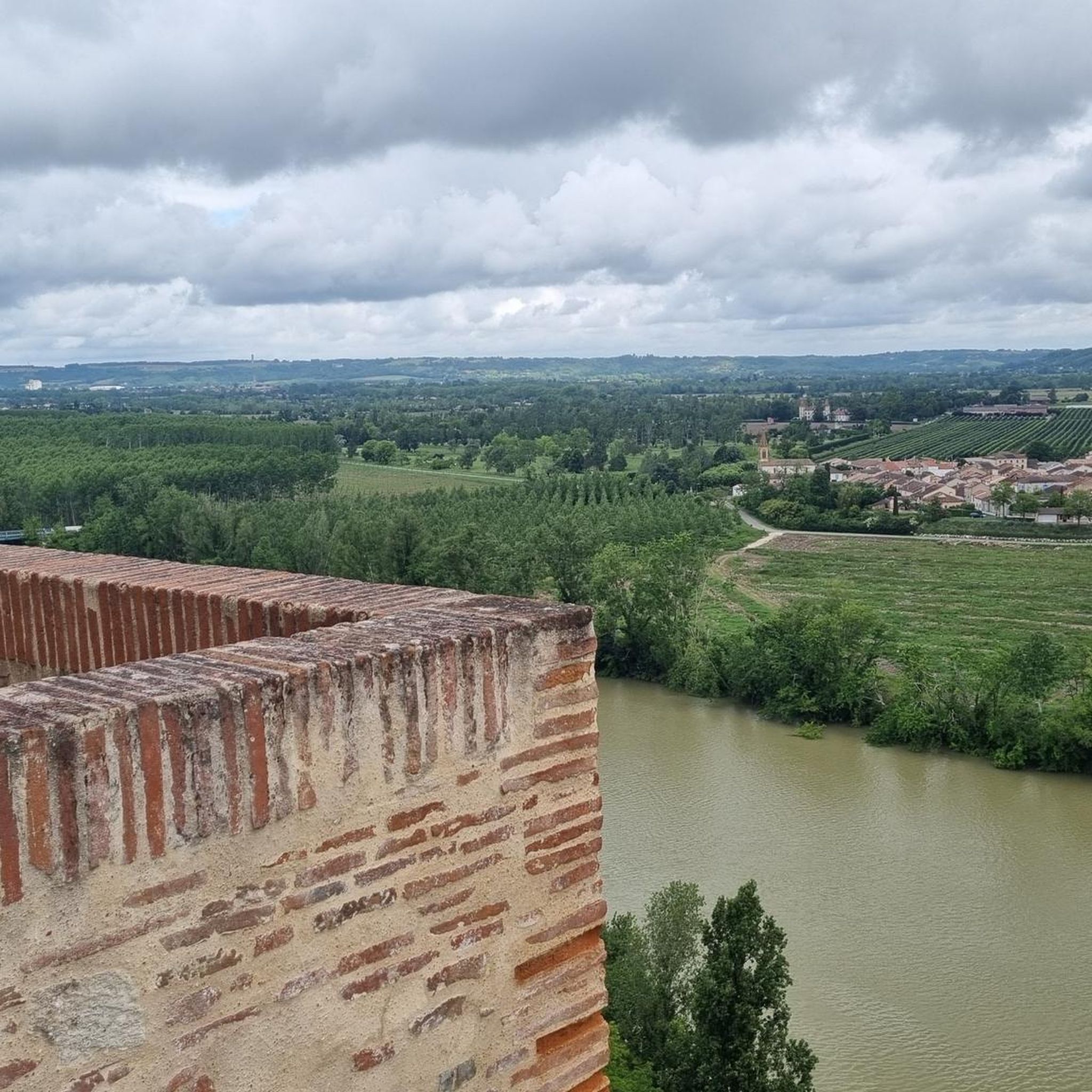
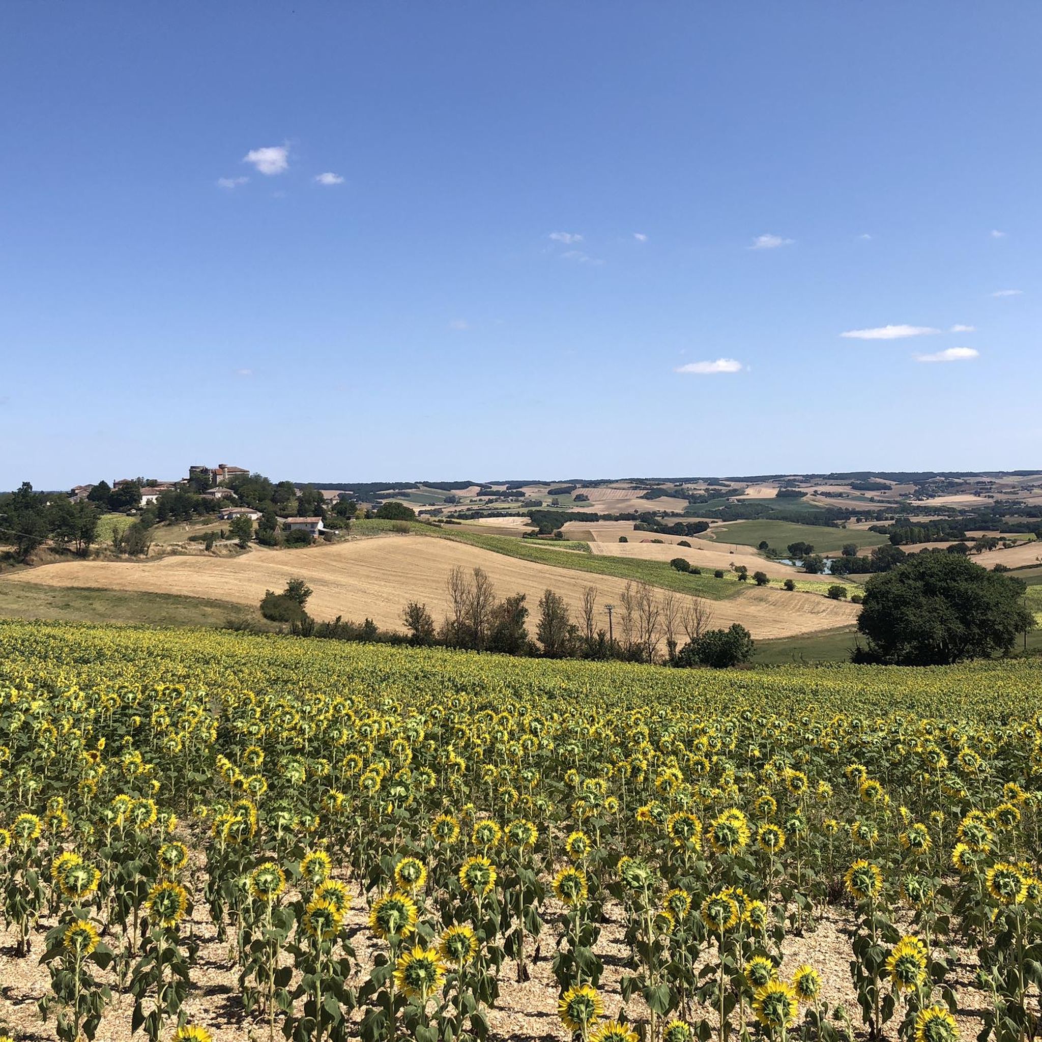
Hiking around Auvillar offers diverse trails through a landscape characterized by its dramatic position on a rocky outcrop overlooking the Garonne River valley. The surrounding area features rolling countryside, providing a tranquil backdrop for walks. Auvillar is also a significant stop on the Chemin de Saint-Jacques du-Puy, integrating it into a well-maintained long-distance pilgrimage route. The region's varied terrain includes paths along the river, through open fields, and around historical village features.
Best hiking trails around Auvillar
- The most popular…
Last updated: July 9, 2026
5.0
(2)
20
hikers
10.7km
02:58
200m
200m
Moderate hike. Good fitness required. Easily-accessible paths. Suitable for all skill levels.
4.4
(34)
191
hikers
Hard hike. Very good fitness required. Easily-accessible paths. Suitable for all skill levels.

Sign up for free
4.0
(5)
23
hikers
29.0km
07:49
370m
370m
Hard hike. Very good fitness required. Easily-accessible paths. Suitable for all skill levels.
8
hikers
8.81km
02:24
130m
130m
Moderate hike. Good fitness required. Easily-accessible paths. Suitable for all skill levels.
4.0
(1)
7
hikers
4.76km
01:15
40m
40m
Easy hike. Great for any fitness level. Easily-accessible paths. Suitable for all skill levels.
Get access to more routes and recommendations from other explorers.
Sign up for free
Already have an account?
Our route recommendations are based on thousands of hikes, rides, and runs completed by other people on komoot.
Start today with a free account
Your next adventure awaits.
Login or Signup
Tips from the Community

On the entrance gates of Lamotte Castle, look for the coat of arms of the Esparbès family. Interestingly, these same motifs can also be found on the radiator caps of American Cadillac cars. This coat of arms was, in fact, borrowed from Antoine Laumet, a native of Saint-Nicolas-de-la-Grave and founder of the city of Detroit in 1701, who usurped his title of nobility by calling himself Antoine de la Motte de Cadillac. Two and a half centuries later, the American company based in Detroit used the coat of arms of its city's founder, along with part of his name.
0
0


For lovers of regional products, a farmers' market takes place every Sunday morning under the market hall!
3
0
The village of Auvillar, which overlooks the Garonne valley from its hill, is a stopping point on the road to Santiago de Compostella and has the special feature of being included on the list of most beautiful villages in France.
3
0
The area of Auvillar is 15.6 km², the population density is 63.7 inhabitants per km².
3
0
Auvillar is a municipality in the French department of Tarn-et-Garonne (region Occitanie) and has 994 inhabitants (2004). The town is part of the arrondissement of Castelsarrasin. Auvillar has been recognized by Les Plus Beaux Villages de France as one of the most beautiful villages in France
3
0

Auvillar is classified among the Most Beautiful Villages of France. The village offers many accommodations and several restaurants.
0
0
Auvillar is classified among the Most Beautiful Villages of France. The village offers many accommodations and several restaurants.
0
1
Frequently Asked Questions
How many hiking trails are available around Auvillar?
Auvillar offers a rich network of nearly 50 hiking trails, catering to various preferences and fitness levels. This includes 11 easy routes, 27 moderate paths, and 8 more challenging hikes.
Are there easy hiking trails suitable for beginners or families in Auvillar?
Yes, Auvillar has 11 easy hiking routes perfect for beginners or families looking for a gentle stroll. These trails often provide a pleasant way to explore the village's surroundings without significant elevation changes.
What kind of terrain can I expect on hikes around Auvillar?
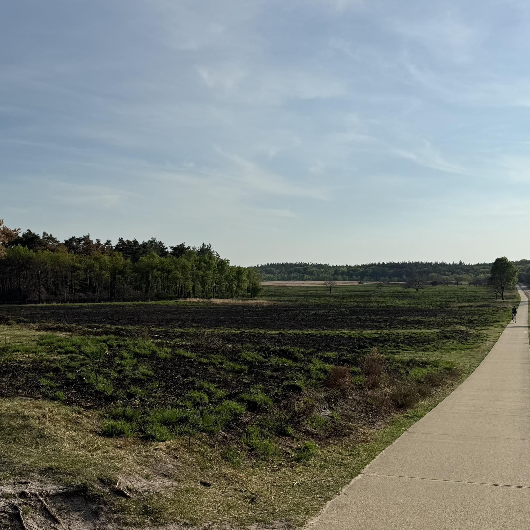
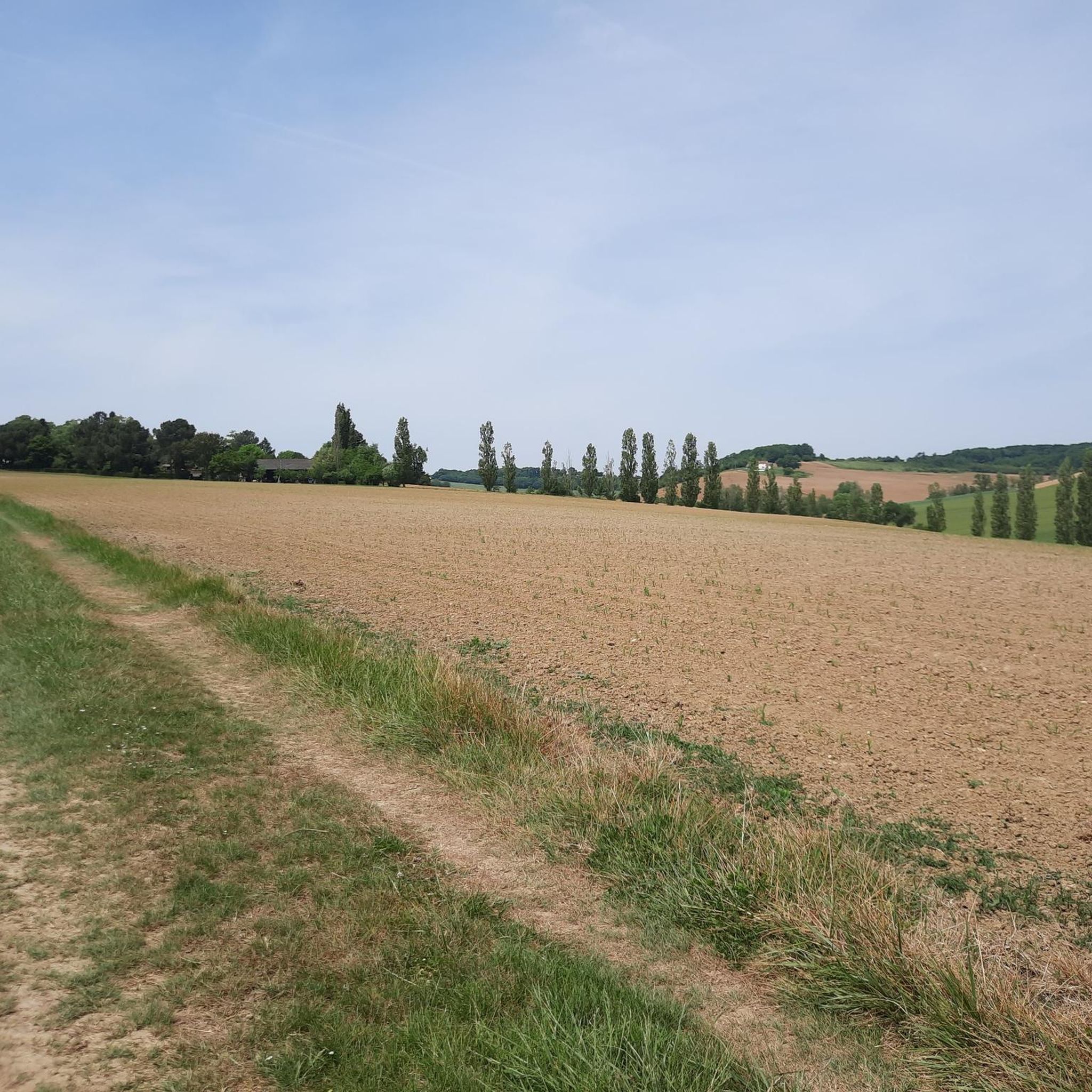
Hikes around Auvillar feature diverse terrain, from paths along the Garonne River valley to trails through rolling countryside and open fields. As Auvillar is perched on a rocky outcrop, some routes offer dramatic views and varying elevations, while others are flatter and more accessible.
Are there any circular hiking routes in Auvillar?
Yes, many of the trails around Auvillar are circular, allowing you to start and end in the same location. An example is the moderate Auvillar – Auvillar Circular Market Hall loop from Auvillar, which starts directly from the village.
What are the best viewpoints or natural features to see on a hike in Auvillar?
Many trails offer spectacular views over the Garonne River valley and the surrounding Gers region. The village itself, perched on a rocky outcrop, provides natural vantage points. The Suspension bridge over the Garonne is also a notable feature offering picturesque views.
Can I bring my dog on the hiking trails in Auvillar?
Generally, dogs are welcome on many of the hiking trails around Auvillar, especially in the open countryside. However, it's always advisable to keep them on a leash, particularly near livestock or in populated areas, and to check for specific local regulations on individual routes.
Are there historical landmarks or attractions I can visit while hiking in Auvillar?
Absolutely. Auvillar is rich in history. You can encounter landmarks like the unique Auvillar Circular Market Hall, the historic Église Saint-Pierre, and the Clock Tower. Many routes, such as the Auvillar – Auvillar Circular Market Hall loop from Auvillar, integrate these cultural features into the outdoor experience.
What is the best time of year to go hiking in Auvillar?
The spring and autumn months are generally ideal for hiking in Auvillar, offering pleasant temperatures and beautiful scenery. Summer can be warm, so early morning or late afternoon hikes are recommended. The region's rolling countryside is enjoyable across many seasons.
Is parking available near the trailheads in Auvillar?
Yes, parking is generally available in and around Auvillar, especially near the village center, which serves as a starting point for many trails. Specific parking details might vary by trailhead, but you'll usually find convenient options for accessing the routes.
What do other hikers say about the trails in Auvillar?
The hiking trails in Auvillar are highly rated by the komoot community, with an average score of 4.3 stars from over 130 reviews. Hikers often praise the stunning views over the Garonne valley, the charming historical elements of the village, and the variety of paths through the tranquil countryside.
Are there any longer, more challenging hikes for experienced hikers?
Yes, Auvillar offers 8 difficult routes for experienced hikers. For example, the Landscapes of the Gers – Auvillar Circular Market Hall loop from Saint-Antoine is a challenging 26.8 km trail with significant elevation gain, offering extensive views across the Gers region.
Are there any trails that are part of a long-distance route?
Yes, Auvillar is a significant stop on the **Chemin de Saint-Jacques du-Puy (Via Podiensis)**, one of France's historic pilgrimage routes to Santiago de Compostela. This means you can experience sections of a well-maintained long-distance trail within the local network.
Most popular attractions around Auvillar

Get inspired with the komoot mobile app


Explore more
Browse the best Hikes in other regions.
