The best cycling routes around Sainte-Foy-Tarentaise
4.5
(248)
12,691
riders
10
rides
Touring cycling around Sainte-Foy-Tarentaise offers diverse and challenging routes within the Upper Tarentaise Valley, bordering the Vanoise National Park. The region is characterized by majestic Alpine landscapes, including prominent mountain peaks like Mont Pourri, extensive larch forests, and sunny mountain pastures. Cyclists navigate through charming traditional hamlets and along the Isère river, providing a varied terrain of challenging mountain passes and more gentle valley paths.
Best touring cycling routes around Sainte-Foy-Tarentaise
- The most popular touring cycling route is Iseran Pass…
Last updated: July 4, 2026
5.0
(5)
233
riders
39.4km
03:02
1,050m
1,050m
Hard bike ride. Very good fitness required. Mostly paved surfaces. Suitable for all skill levels.
4.0
(2)
47
riders
18.3km
01:17
350m
350m
Moderate bike ride. Good fitness required. Mostly paved surfaces. Suitable for all skill levels.

Sign up for free
5.0
(1)
38
riders
14.3km
01:35
510m
510m
Hard bike ride. Very good fitness required. Mostly paved surfaces. Suitable for all skill levels.
48
riders
40.8km
03:18
1,280m
1,280m
Hard bike ride. Very good fitness required. Mostly paved surfaces. Suitable for all skill levels.
5.0
(2)
32
riders
40.7km
03:01
960m
960m
Hard bike ride. Very good fitness required. Mostly paved surfaces. Suitable for all skill levels.
Get access to more routes and recommendations from other explorers.
Sign up for free
Already have an account?
Our route recommendations are based on thousands of hikes, rides, and runs completed by other people on komoot.
Start today with a free account
Your next adventure awaits.
Login or Signup
Popular around Sainte-Foy-Tarentaise
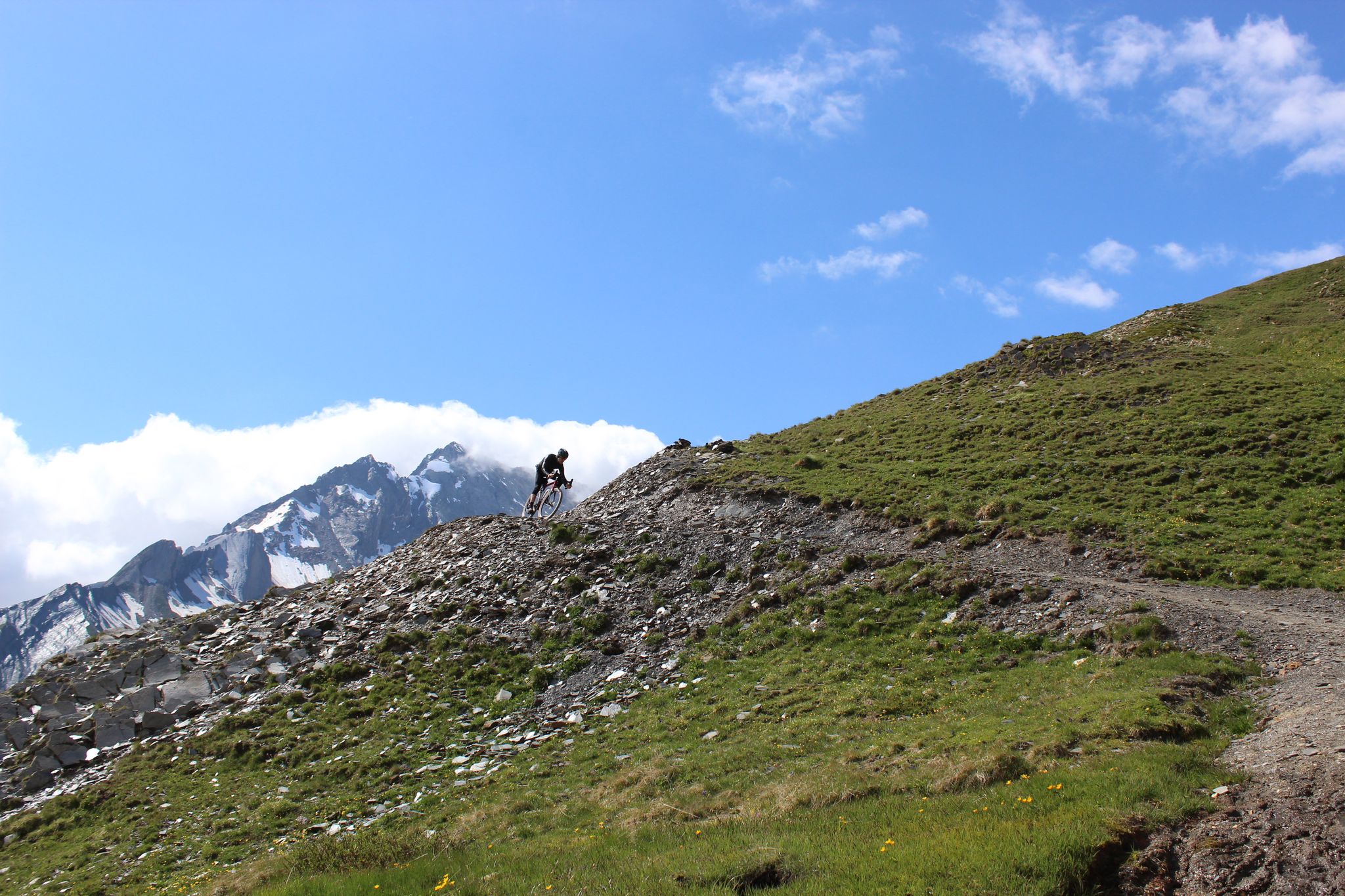
Spectacular Alpine gravel roads of the Tarentaise Valley
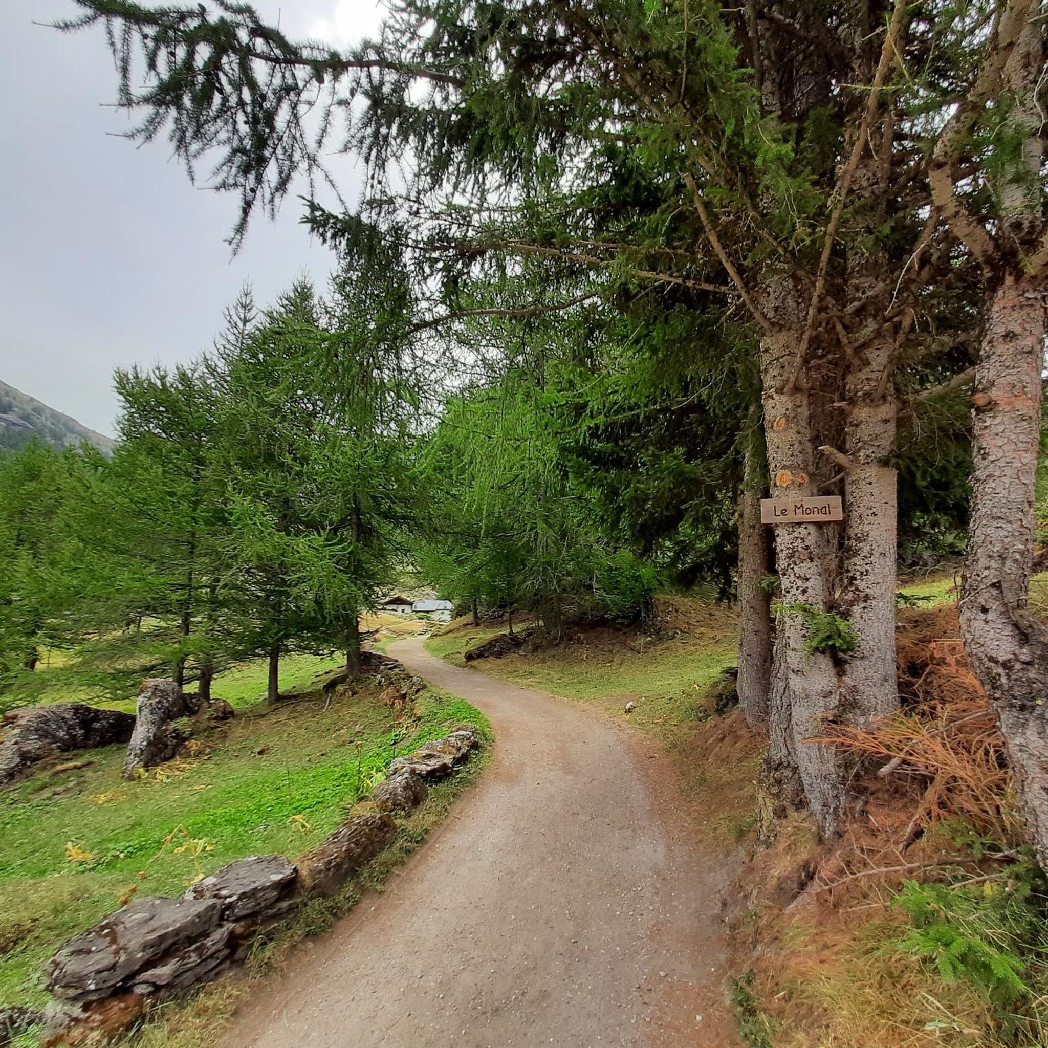
Hiking around Sainte-Foy-Tarentaise
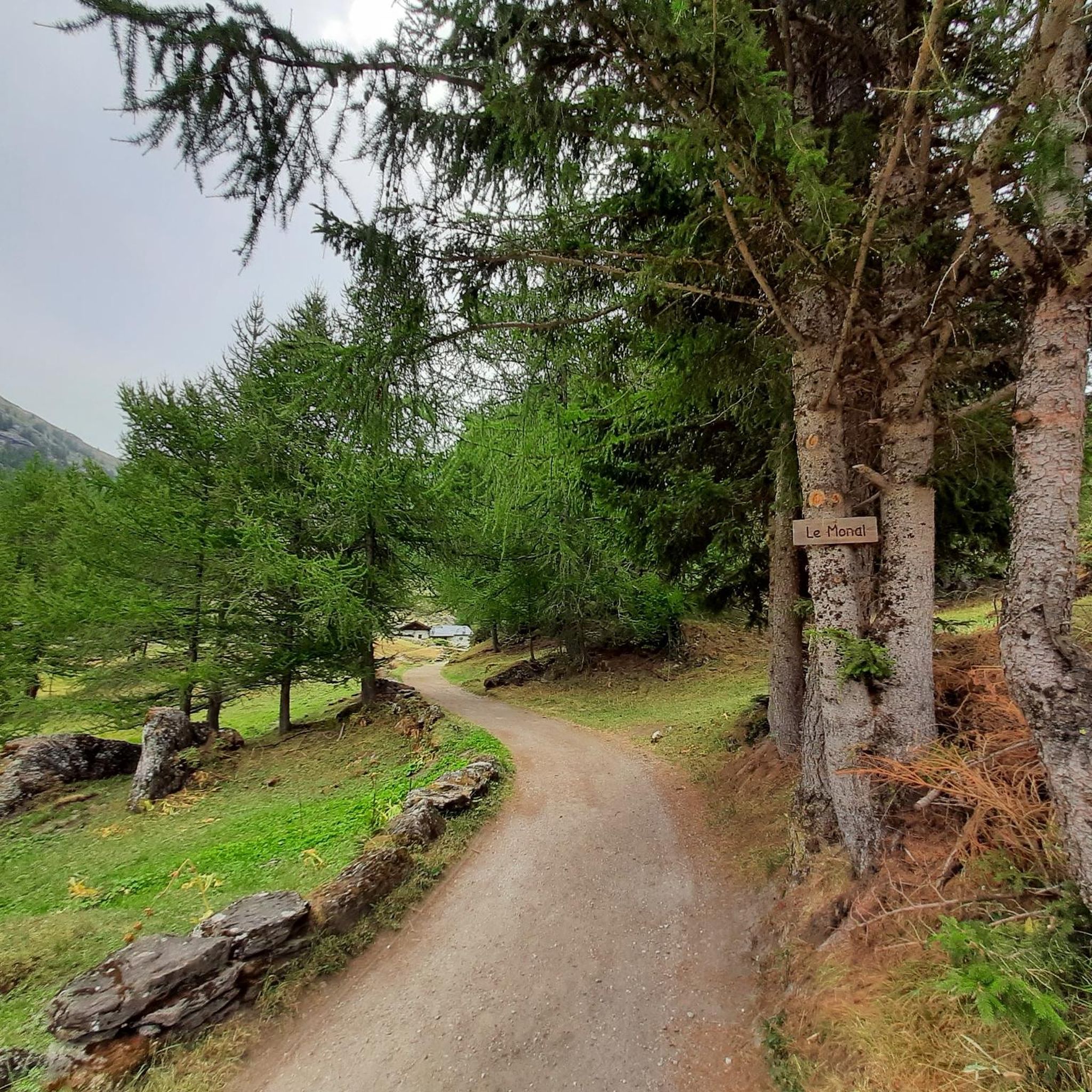
Road Cycling Routes around Sainte-Foy-Tarentaise
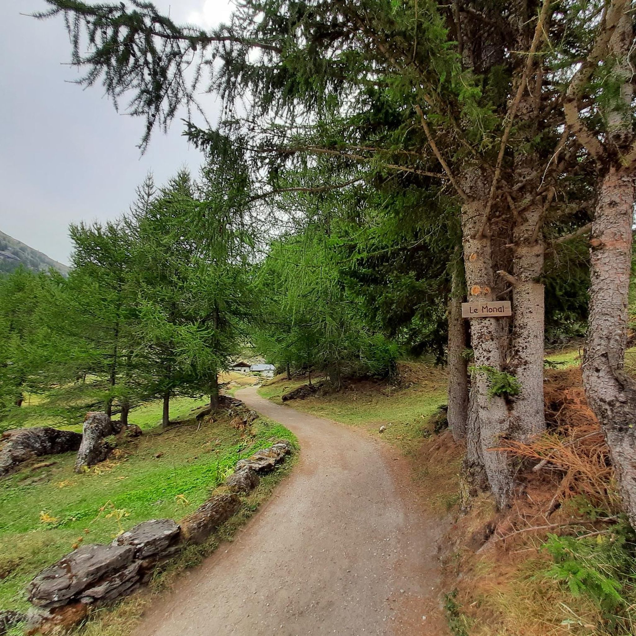
MTB Trails around Sainte-Foy-Tarentaise

Gravel biking around Sainte-Foy-Tarentaise
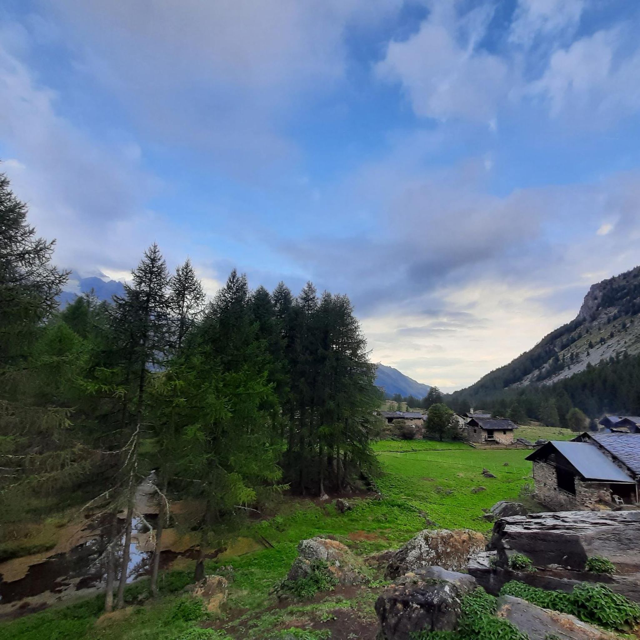
Running Trails around Sainte-Foy-Tarentaise
Mountain Hikes around Sainte-Foy-Tarentaise
Other adventures around Sainte-Foy-Tarentaise

Tips from the Community

I only posted a photo of the roundabout, which shows the "door to the Little St Bernard Pass", nothing else. If you have a problem with that, I can't help it.
0
1

Isere reservoir, tunnels and galleries on the D902.
2
0
One of many options for an overnight stay.
2
0
Small village on the road to Val d'Isere.
1
0
This is a nice idea for the ascent.
1
0
Frequently Asked Questions
How many touring cycling routes are available around Sainte-Foy-Tarentaise?
Sainte-Foy-Tarentaise offers a diverse network of 10 touring cycling routes. These routes cater to various preferences, from challenging mountain passes to more gentle valley paths, all set against the stunning Alpine backdrop.
Are there any easy or family-friendly touring cycling routes in Sainte-Foy-Tarentaise?
While many routes in the immediate area are rated as difficult, the region offers a relatively flat, car-free cycle path alongside the Isère river. This path provides a pleasant 12km (each way) journey from Sainte-Foy-Tarentaise to the Plan d'eau in Aime, perfect for less strenuous rides or family outings. It's ideal for picnics and even swimming.
What are some of the most challenging touring cycling routes in the region?
For experienced riders seeking a challenge, the area is renowned for its iconic mountain passes. A prime example is the Iseran Pass – Lake Chevril loop from Sainte-Foy-Tarentaise, a difficult 77.1 km route featuring significant elevation gains and breathtaking views. Other famous cols accessible from the region include Col du Petit St Bernard, Cormet de Roselend, and Col de la Madeleine.
Can I find circular touring cycling routes around Sainte-Foy-Tarentaise?
Yes, many of the touring cycling routes in Sainte-Foy-Tarentaise are designed as loops, allowing you to start and finish in the same location. For instance, the Le Reclus Campsite loop from Sainte-Foy-Tarentaise is a difficult 24.7 km circular path offering views of Alpine scenery and traditional hamlets.
What kind of scenic viewpoints can I expect on these routes?
The touring cycling routes in Sainte-Foy-Tarentaise are incredibly scenic, offering views of majestic mountain peaks like Mont Pourri, extensive larch forests, and sunny mountain pastures. The Stunning view to Mont Pourri – Le Monal loop from Sainte-Foy-Tarentaise specifically highlights the spectacular vistas of Mont Pourri and passes through the picturesque hamlet of Le Monal.
Are there any waterfalls or natural attractions to see along the touring cycling routes?
Yes, the region is rich in natural attractions. While cycling, you might encounter stunning natural features. The Rutor Waterfalls, with their three impetuous cascades, are a significant natural monument carved by melting glacier water. Other natural highlights include serene lakes like Lac du Brévent and Lake Arpy.
What is the best time of year for touring cycling in Sainte-Foy-Tarentaise?
The best time for touring cycling in Sainte-Foy-Tarentaise is typically during the warmer months, from late spring to early autumn. This period ensures that the high mountain passes are clear of snow and the weather conditions are most favorable for cycling, allowing you to fully enjoy the Alpine landscapes and challenging routes.
What do other touring cyclists enjoy most about cycling in Sainte-Foy-Tarentaise?
The touring cycling routes around Sainte-Foy-Tarentaise are highly rated by the komoot community, with an average score of 4.8 stars from over 100 reviews. Cyclists frequently praise the diverse and challenging routes, the stunning Alpine landscapes, and the charm of passing through traditional hamlets like Le Monal. The access to iconic mountain passes is also a major draw for many.
Are there any routes that pass through traditional villages or hamlets?
Absolutely. Many routes are designed to showcase the authentic charm of the region. For example, the Le Reclus Campsite loop from Sainte-Foy-Tarentaise offers views of Alpine scenery and passes through traditional hamlets. The village of Le Monal, nestled at 1874m, is another enchanting spot found on routes like the Stunning view to Mont Pourri – Le Monal loop.
What kind of landmarks or points of interest can I explore near the cycling routes?
Beyond the natural beauty, the region offers several points of interest. You can explore significant mountain passes like Col du Petit Saint Bernard (2188 m) and Col de l'Iseran, which are famous in cycling history. The Mauritian hospice of the Col du Petit Saint-Bernard also offers a glimpse into the area's heritage.
Are there any routes that offer views of glaciers?
Yes, the region's proximity to the Vanoise National Park means many routes offer spectacular views of glaciers and majestic mountain peaks. Mont Pourri is a prominent feature, and its glacier is visible from various points, including areas around the picturesque village of Le Monal, as highlighted in the Stunning view to Mont Pourri – Le Monal loop.
Which route is a good option for a longer ride through the Tarentaise Valley?
For a longer ride through the scenic Tarentaise Valley, consider the Bourg-Saint-Maurice – Bourg-Saint-Maurice Railway Station loop from Sainte-Foy-Tarentaise. This route covers 40.3 km and typically takes around 2 hours 52 minutes, offering a substantial journey through the valley's landscapes.
Most popular routes around Sainte-Foy-Tarentaise
Most popular attractions around Sainte-Foy-Tarentaise

Get inspired with the komoot mobile app


Explore more
Browse the best Cycling routes in other regions.
