The best running trails around Louvigné-De-Bais
4.3
(93)
3,539
runners
235
runs
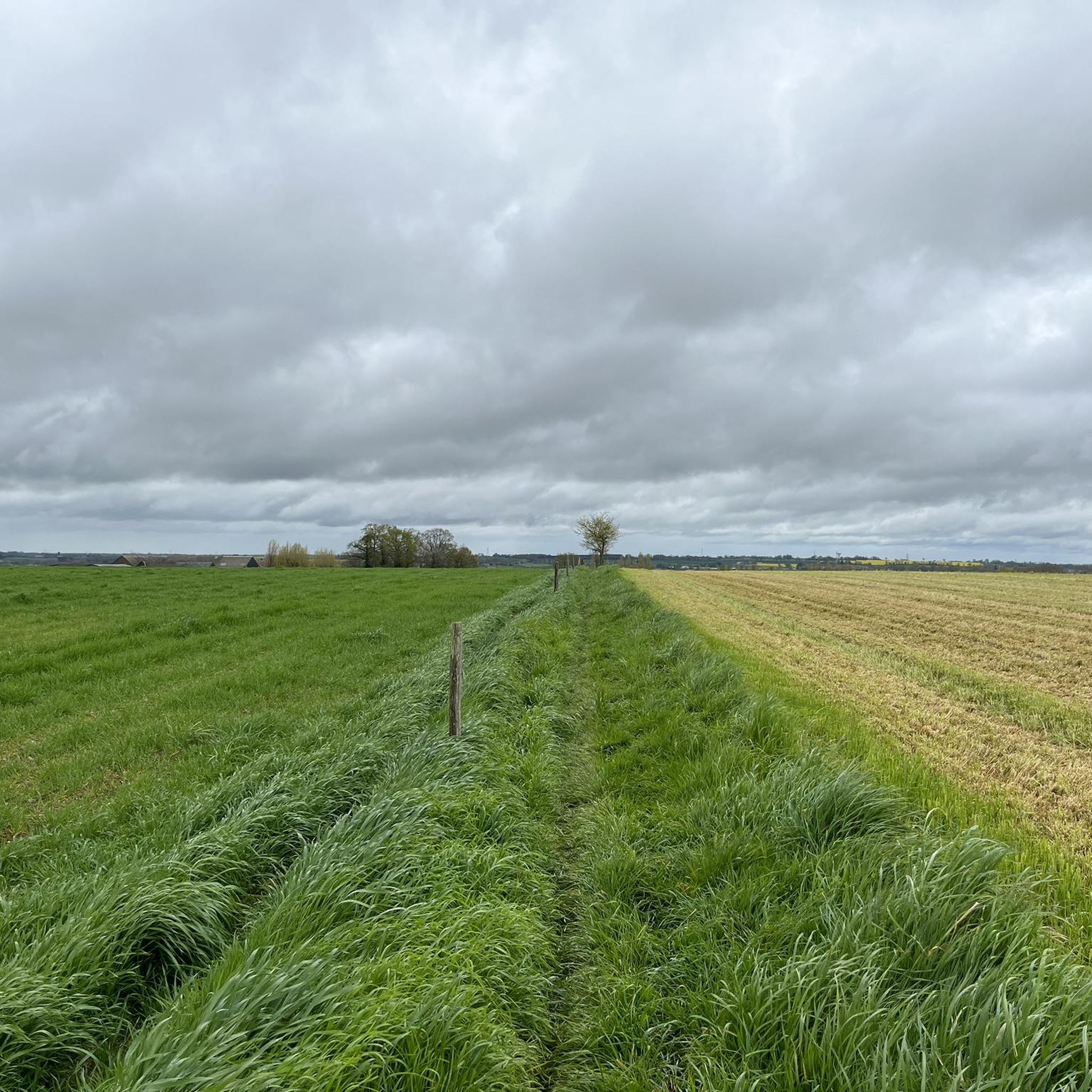
Jogging routes Louvigné-De-Bais offer a variety of paths through the rural landscape of Ille-et-Vilaine. The region is characterized by gentle hills, agricultural fields, and small woodlands, providing a mix of open and sheltered running environments. Many routes follow quiet country roads and paths alongside streams and ponds, with minimal elevation changes.
Best jogging routes around Louvigné-De-Bais
- The most popular jogging route is Étang de la Touche – Château de la Morandière loop from Louvigné-de-Bais, a 10.5 miles (16.9 km)…
Last updated: May 24, 2026
27
runners
20.2km
02:12
160m
160m
Hard run. Very good fitness required. Mostly paved surfaces. Suitable for all skill levels.
4.0
(1)
15
runners
9.29km
01:00
70m
70m
Moderate run. Good fitness required. Mostly paved surfaces. Suitable for all skill levels.

Sign up for free
4.8
(4)
13
runners
6.42km
00:40
50m
50m
Moderate run. Good fitness required. Mostly paved surfaces. Suitable for all skill levels.
5.0
(4)
19
runners
Hard run. Very good fitness required. Mostly paved surfaces. Suitable for all skill levels.
14
runners
7.71km
00:49
30m
30m
Moderate run. Good fitness required. Mostly paved surfaces. Suitable for all skill levels.
Get access to more routes and recommendations from other explorers.
Sign up for free
Already have an account?
Our route recommendations are based on thousands of hikes, rides, and runs completed by other people on komoot.
Start today with a free account
Your next adventure awaits.
Login or Signup



Tips from the Community

Walk through miniature stone reproductions of great French monuments, created by an artist from the village of Domagné.
2
1
Frequently Asked Questions
How many running routes are available in Louvigné-De-Bais?
There are over 250 running routes around Louvigné-De-Bais, offering a wide variety of paths through the rural landscape of Ille-et-Vilaine.
Are there easy running routes suitable for beginners in Louvigné-De-Bais?
Yes, Louvigné-De-Bais offers 24 easy running routes. A great option for beginners is the Running loop from Louvigné-de-Bais, which is 2.3 miles (3.6 km) long with minimal elevation gain.
What options are there for more challenging running routes in the area?
For those seeking a challenge, there are 53 difficult running routes. The Étang de la Touche – Château de la Morandière loop from Louvigné-de-Bais is a popular choice, covering 10.5 miles (16.9 km) with some elevation changes.
Are there any short running trails near Louvigné-De-Bais?
Absolutely. For a shorter run, consider the Running loop from Louvigné-de-Bais, which is just 2.3 miles (3.6 km) and can be completed in about 22 minutes.
What kind of scenery can I expect on the running trails in Louvigné-De-Bais?
The running routes in Louvigné-De-Bais are characterized by gentle hills, agricultural fields, and small woodlands. Many paths follow quiet country roads and run alongside streams and ponds, offering a mix of open countryside and sheltered environments.
Are there any circular running routes available?
Yes, many of the routes are loops. For example, the Miniatures Henri Chesnais loop from Domagné is a moderate 4.7 miles (7.6 km) path that offers a pleasant circular run through local scenery.
What do other runners enjoy most about jogging in Louvigné-De-Bais?
The area is highly rated by the komoot community, with an average score of 4.4 stars from over 100 reviews. Runners often praise the tranquil ponds, small forests, and the variety of terrain suitable for different ability levels.
Are there any interesting landmarks or attractions to see while running?
While jogging, you might encounter various points of interest. Nearby attractions include the historic Châteaugiron Castle and the scenic viewpoint over the Étang de la Corbière.
Are there any routes that pass by water bodies?
Yes, many routes feature paths alongside streams and ponds. The Étang de la Recoulaie loop from Cornillé is a great example, offering scenic views of the water.
Can I find routes that are suitable for a longer run?
Certainly. For a longer distance, consider the Running loop from Cornillé, which spans 8.7 miles (14 km) and provides an extended experience through the local landscape.
What is the best time of year to go running in Louvigné-De-Bais?
The region's gentle hills and varied terrain make it suitable for running throughout much of the year. Spring and autumn offer pleasant temperatures and beautiful scenery, while summer provides longer daylight hours for evening runs.
Are the running paths well-maintained and easy to navigate?
The routes often follow quiet country roads and established paths. The komoot community has rated the routes highly, suggesting they are generally well-regarded for their navigability and condition.
Most popular routes around Louvigné-De-Bais
Most popular attractions around Louvigné-De-Bais

Get inspired with the komoot mobile app


Explore more
Browse the best Running Trails & Routes in other regions.
