The best running trails around Moularès
4.8
(9)
416
runners
40
runs
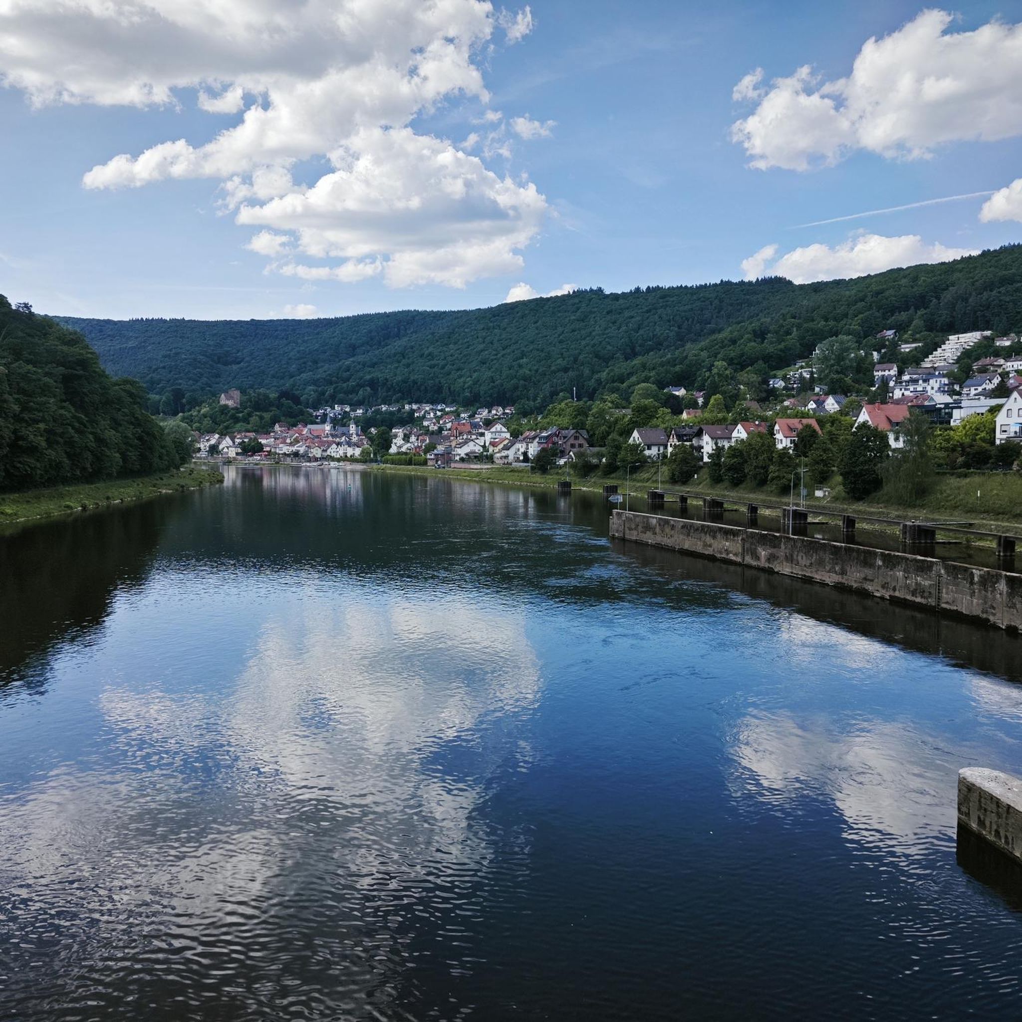
Jogging routes around Moularès offer a diverse landscape situated between the Ségala plateau and the Viaur valley. The terrain features paths along the Viaur river, which is known for its rocky outcrops, and includes various streams. Routes often combine roads, paths, and single tracks, providing a mix of surfaces for runners. This region is characterized by varied elevations, making it suitable for those seeking both moderate and challenging running experiences.
Best jogging routes around Moularès
- The most popular jogging route…
Last updated: May 17, 2026
4.0
(1)
37
runners
16.0km
02:02
450m
450m
Hard run. Very good fitness required. Mostly paved surfaces. Suitable for all skill levels.
33
runners
10.5km
01:27
390m
390m
Hard run. Very good fitness required. Mostly paved surfaces. Suitable for all skill levels.

Sign up for free
24
runners
21.4km
02:57
750m
750m
Hard run. Very good fitness required. Mostly paved surfaces. Suitable for all skill levels.
33
runners
10.2km
01:18
250m
250m
Moderate run. Good fitness required. Mostly paved surfaces. Suitable for all skill levels.
4
runners
6.05km
00:39
110m
110m
Moderate run. Good fitness required. Mostly paved surfaces. Suitable for all skill levels.
Get access to more routes and recommendations from other explorers.
Sign up for free
Already have an account?
Our route recommendations are based on thousands of hikes, rides, and runs completed by other people on komoot.
Start today with a free account
Your next adventure awaits.
Login or Signup


Tips from the Community

Sturdy footwear required! Beautiful tour!
0
0

The Pont de Thuriès is a 13th Century bridge over the Viaur river that opened up trade between the Rouergue and the Albigeois regions. There is a picnic area nearby and you can also swim in the river.
0
0

The Notre-Dame-de-Lasplanques church, once surrounded by a small hamlet, dates back to the 11th century. Its lost location in the Viaur valley and its defensive architecture allowed the population to take refuge there in the event of an attack, in particular from trucking companies (looter soldiers and mercenaries of the Middle Ages).
0
0
Meander on the Viaur having eroded a formidable rocky outcrop ideal for the establishment of a castle from the 13th century on the road leading from Toulouse to Lyon. Much later, the site took on an economic interest with the creation of a dam of more than 30 meters between 1919 and 1923.
1
0
Frequently Asked Questions
What kind of terrain can I expect on running routes around Moularès?
The running routes around Moularès offer a diverse landscape, situated between the Ségala plateau and the Viaur valley. You can expect paths along the Viaur river, known for its rocky outcrops, and various streams like the Sarlan Stream. Routes often combine roads, paths, and single tracks, providing a mix of surfaces and varied elevations suitable for both moderate and challenging running experiences.
Are there any easy or beginner-friendly running routes in Moularès?
While many routes in Moularès are rated as moderate to difficult due to the varied elevations, there are options that cater to different fitness levels. For instance, the region offers a mix of circuits, and while no routes are explicitly categorized as 'easy' in the data, some moderate trails might be suitable for beginners looking for a challenge. It's always recommended to check the elevation profile of a route before heading out.
What historical landmarks or natural attractions can I see while jogging in Moularès?
Jogging in Moularès allows you to combine physical activity with exploration of rich landscapes and historical sites. You might pass by the impressive Thuriès Castle and Viaur Dam, the 11th-century Church of Notre-Dame-de-Lasplanques, or the medieval Cirou Bridge. The area also features natural beauty spots like the Sarlan Stream and the Ruisseau de l'Andouquette.
Are there any circular running routes available in the Moularès area?
Yes, many of the running routes around Moularès are designed as loops, offering a convenient way to start and end your run in the same location. Examples include the challenging Running loop from Tanus, the scenic Running loop from La Carairie, and the historical Pont de Thuriès loop from Pampelonne.
What do other runners think about the trails in Moularès?
The running routes in Moularès are highly regarded by the komoot community, with an impressive average score of 4.8 stars from 9 reviews. Runners often praise the varied terrain, the scenic views along the Viaur river, and the opportunity to explore both natural landscapes and historical sites.
Can I find running routes that offer significant elevation changes for a more challenging workout?
Absolutely. Moularès is characterized by varied elevations, making it an excellent destination for runners seeking a challenging workout. Routes like the Pont de Thuriès loop from Pampelonne feature over 700 meters of elevation gain, providing a demanding experience. Even shorter routes like the Running loop from La Carairie offer nearly 400 meters of ascent.
Are there any long-distance running options around Moularès?
Yes, for those looking for longer runs, Moularès offers several routes that extend beyond 10 kilometers. The Château de Tanus le Vieux loop from Tanus is a particularly long and challenging option, covering nearly 33 kilometers with over 1100 meters of elevation gain, making it suitable for endurance training.
What is the best time of year to go running in Moularès?
The diverse landscapes of Moularès, with its mix of plateau and valley terrain, offer a great breath of fresh air throughout much of the year. Spring and autumn generally provide pleasant temperatures for running, with vibrant foliage or blooming nature. Summer can be warm, so early morning or late evening runs are advisable. The region's natural features are enjoyable in various seasons, but always check local weather conditions before heading out.
Are there any running routes that pass by water features like rivers or streams?
Many routes in Moularès prominently feature water elements. The Viaur river is a central natural feature, with paths winding along its banks and through its valley, often showcasing rocky outcrops. You'll also find routes that follow streams such as the Sarlan Stream and the Ruisseau de l'Andouquette, adding to the scenic beauty of your run.
How many running routes are available in the Moularès region?
There are over 40 running routes available around Moularès, offering a wide variety of distances and difficulty levels. This extensive network ensures that runners can find a trail that suits their preferences, whether they are looking for a moderate jog or a challenging long-distance run.
Can I find routes that offer a mix of road and trail running?
Yes, the routes in Moularès are known for their mixed circuits, often combining roads, paths, and single tracks. This variety in surfaces provides a dynamic running experience and allows you to enjoy different aspects of the region's landscape within a single outing.
Most popular attractions around Moularès

Get inspired with the komoot mobile app


Explore more
Browse the best Running Trails & Routes in other regions.
