The best running trails around Valdurenque
4.5
(123)
7,761
runners
353
runs
Jogging around Valdurenque offers diverse terrain shaped by the Durenque river valley and its proximity to the Montagne Noire. The region features picturesque riverside paths, undulating areas, and more challenging trails. Runners can find routes that traverse varied landscapes, from mostly paved surfaces to rugged tracks. This environment provides options for different fitness levels, making it suitable for both leisurely runs and more strenuous workouts.
Best jogging routes around Valdurenque
- The most popular jogging route is Château du Causse –…
Last updated: October 27, 2026
36
runners
10.9km
01:09
60m
60m
Moderate run. Good fitness required. Mostly paved surfaces.
5.0
(1)
21
runners
10.9km
01:12
140m
140m
Moderate run. Good fitness required. Mostly paved surfaces.

14
runners
10.2km
01:04
80m
80m
Moderate run. Good fitness required. Mostly paved surfaces.
4.3
(6)
10
runners
13.2km
01:36
310m
310m
Hard run. Very good fitness required. Mostly paved surfaces.
11
runners
6.73km
00:49
120m
120m
Moderate run. Good fitness required. Mostly paved surfaces.
Get access to more routes and recommendations from other explorers.
Already have an account?
Our route recommendations are based on thousands of hikes, rides, and runs completed by other people on komoot.
Start today with a free account
Your next adventure awaits.

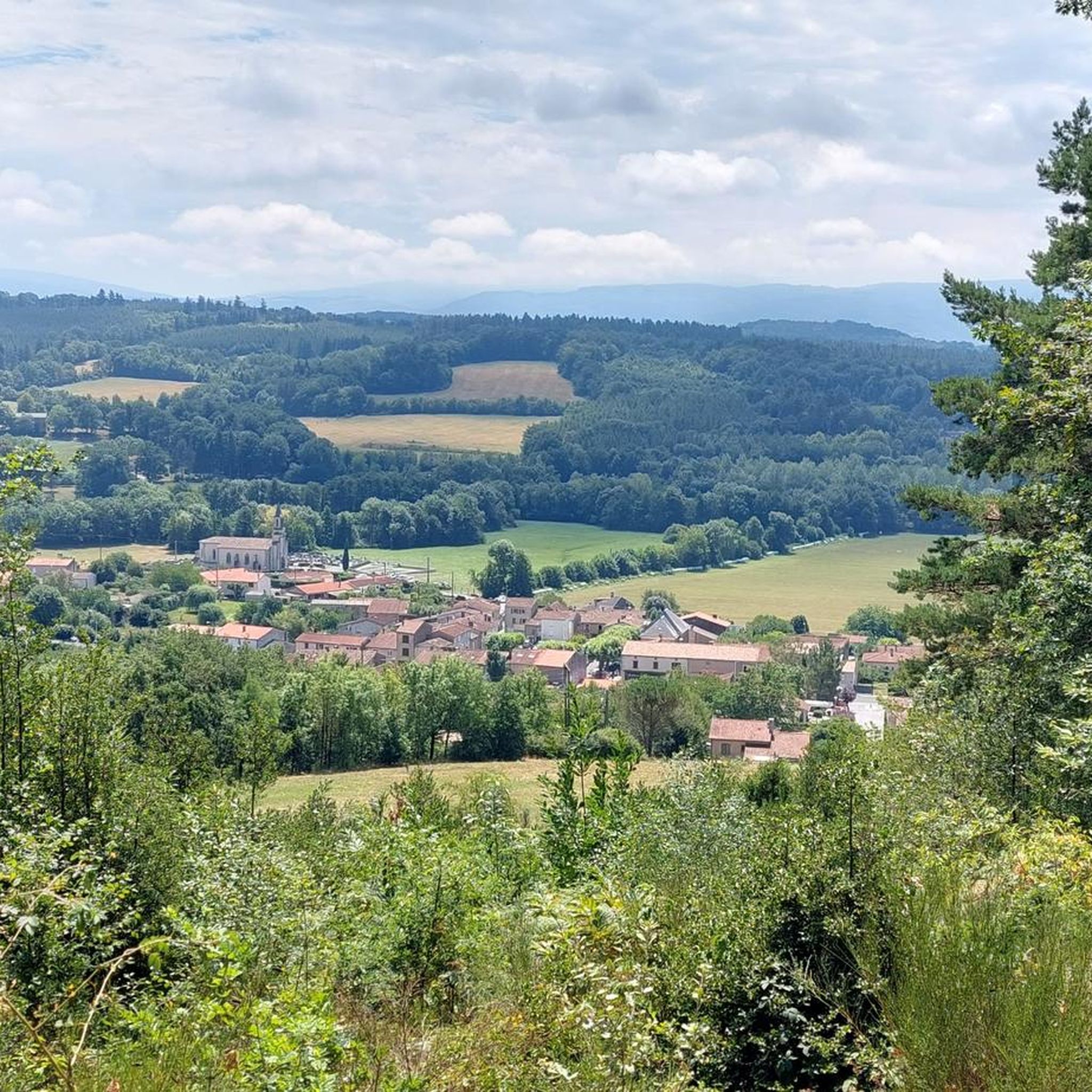

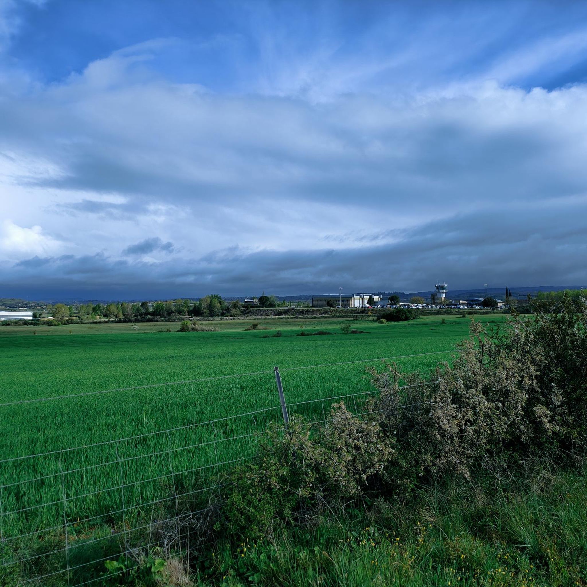

Tips from the Community

Very compact and rolling white gravel path, towards Lou Pont Trinquat. It almost feels like you're in Tuscany.
2
0

Frequently Asked Questions
How many running routes are available around Valdurenque?
There are over 320 running routes documented around Valdurenque on komoot, catering to various fitness levels. This includes 20 easy routes, over 200 moderate options, and nearly 100 difficult trails for more experienced runners.
What kind of terrain can I expect on the jogging paths around Valdurenque?
The terrain around Valdurenque is quite diverse, shaped by the Durenque river valley and its proximity to the Montagne Noire. You'll find picturesque riverside paths, undulating areas, and more challenging trails. Routes can feature mostly paved surfaces for easier runs, but also include more rugged tracks for those seeking a challenge.
Are there running routes suitable for beginners in Valdurenque?
Yes, Valdurenque offers 20 easy running routes perfect for beginners or those looking for a relaxed jog. These paths typically have less elevation gain and are often on well-maintained surfaces.
Can I find challenging trail running options near Valdurenque?
Absolutely. For those seeking a challenge, there are nearly 100 difficult running routes around Valdurenque. The proximity to the Montagne Noire provides opportunities for more strenuous workouts amidst breathtaking natural scenery, often featuring significant elevation changes.
What do other runners say about the trails in Valdurenque?
The running routes in Valdurenque are highly rated by the komoot community, with an average score of 4.5 stars from over 90 reviews. Runners often praise the varied terrain and scenic views, with over 6,000 people having used komoot to explore the area.
Are there circular jogging routes in the Valdurenque area?
Yes, many of the jogging routes around Valdurenque are designed as circular loops, allowing you to start and finish at the same point. For example, the Château du Causse – Château d'Hauterive loop from Castres-Mazamet Airport is a popular moderate circular route.
What are some interesting sights or landmarks I can see while jogging in Valdurenque?
While jogging, you can encounter several interesting sights. Consider routes that pass near the historic Castres with its picturesque houses, or the impressive La Passerelle de Mazamet footbridge. You might also find routes that lead to natural features like Lac du Merle or viewpoints such as the Orientation Table of the Peyro Clabado.
Are there family-friendly jogging routes in Valdurenque?
Yes, there are routes suitable for families. Many of the easy and moderate trails offer pleasant jogging experiences without excessive difficulty. For instance, the Pioch de Gaix walk loop from Teillède is a moderate 6.7 km route that could be enjoyable for active families.
Can I bring my dog on the running trails in Valdurenque?
Generally, dogs are welcome on many outdoor trails in the Valdurenque region, especially on rural paths and in natural areas. However, it's always advisable to keep your dog on a leash and check for any specific local regulations or signage, particularly in nature reserves or private lands.
Are there any running routes that follow the Durenque River?
Yes, the Durenque River is a central feature of the region, and its valley offers picturesque riverside paths ideal for tranquil jogs. The river is known for its healthy aquatic ecosystem, and you can find sections classified for fishing, including a 'no-kill' fly-fishing course near Valdurenque. For more information on the Durenque River's fishing areas, you can visit tourisme-tarn.com.
What is a popular moderate running route in the area?
A popular moderate running route is the White path loop from Castres-Mazamet Airport. This 10.9 km path features varied terrain, including unpaved sections, and offers scenic views near the airport, making it a favorite among local runners.
Is there a longer, more challenging running route available?
For those looking for a longer and more challenging run, the Running loop from Noailhac is a difficult 13.2 km trail. It features a significant elevation gain of over 300 meters, providing a strenuous workout amidst the local landscape.
Most popular routes around Valdurenque
Most popular attractions around Valdurenque

Get inspired with the komoot mobile app


Explore more
Browse the best Running Trails & Routes in other regions.
