The best walks and hikes around Cournon-D'Auvergne
4.3
(423)
3,272
hikers
67
hikes
Hiking around Cournon-D'Auvergne offers diverse experiences across a landscape shaped by ancient volcanic activity and river systems. The region features rolling hills, the prominent Puy de Dôme, and the wider Chaîne des Puys, a UNESCO World Heritage site. Trails often follow the Allier River or wind through parts of the Livradois-Forez Regional Natural Park, characterized by forests and streams. This area provides a blend of scenic beauty and opportunities for outdoor exploration.
Best hiking trails around Cournon-D'Auvergne
- The most popular…
Last updated: June 25, 2026
4.7
(22)
145
hikers
9.51km
02:28
50m
50m
Moderate hike. Good fitness required. Easily-accessible paths. Suitable for all skill levels.
4.6
(5)
40
hikers
15.2km
03:53
70m
60m
Moderate hike. Good fitness required. Easily-accessible paths. Suitable for all skill levels.

Sign up for free
4.5
(15)
96
hikers
8.14km
02:05
30m
30m
Moderate hike. Good fitness required. Easily-accessible paths. Suitable for all skill levels.
4.7
(3)
80
hikers
9.22km
02:20
20m
20m
Moderate hike. Good fitness required. Easily-accessible paths. Suitable for all skill levels.
4.5
(15)
100
hikers
8.68km
02:14
40m
40m
Moderate hike. Good fitness required. Easily-accessible paths. Suitable for all skill levels.
Get access to more routes and recommendations from other explorers.
Sign up for free
Already have an account?
Our route recommendations are based on thousands of hikes, rides, and runs completed by other people on komoot.
Start today with a free account
Your next adventure awaits.
Login or Signup

Tips from the Community


Inaugurated in 1889, this Eiffel-type road bridge was recently restored with the addition of two separate lanes to make it safer for pedestrians/cyclists to cross the Allier River.
2
0

this "fruit" attracts walkers because it is not "common". quite large, the size of an orange, it is green and has a particular surface. it is not a fruit, but an infructescence, ie a set of fruits.
0
0

The Via Allier greenway and the landscaped lake of Cournon allow you to cut off from the nearby town.
0
0

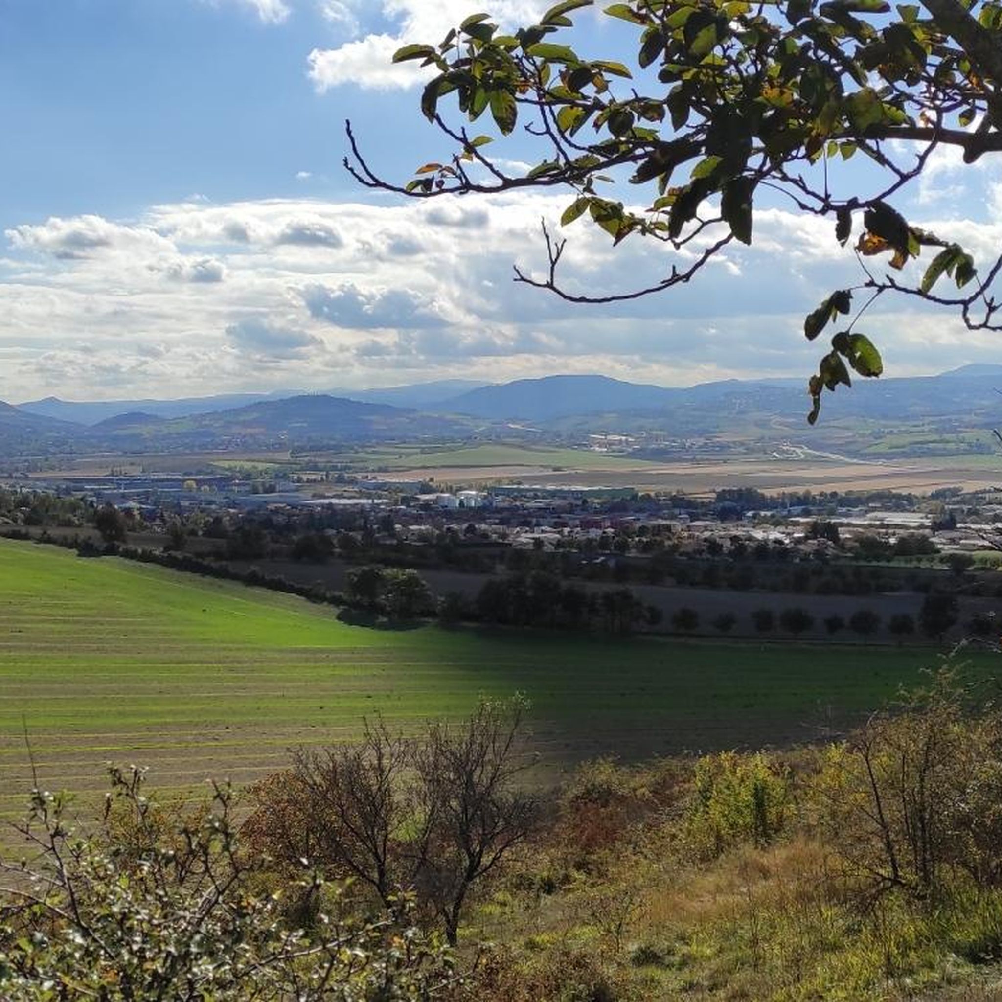
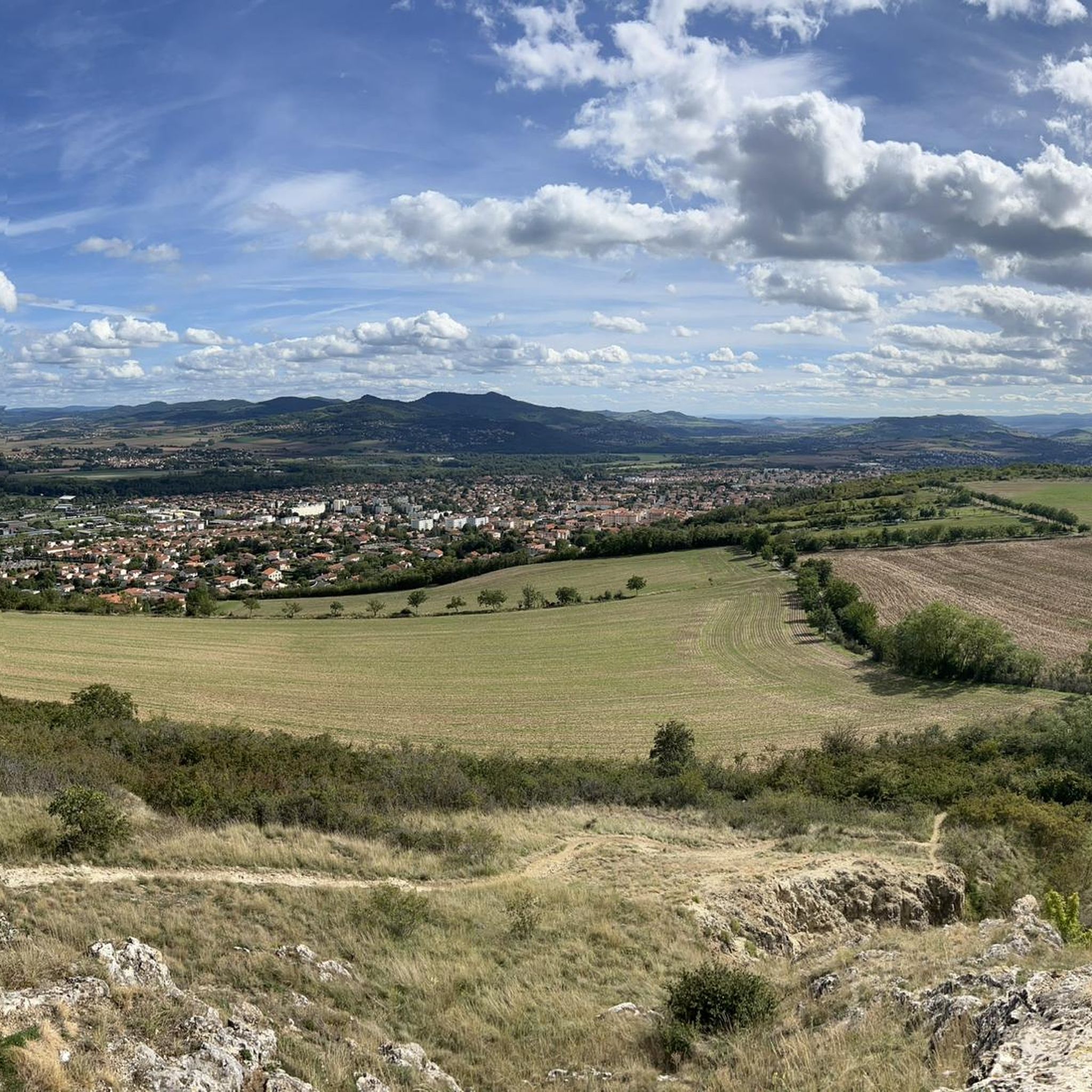
Easy hike that goes up a bit, very nice view.
0
0
Frequently Asked Questions
How many hiking trails are available around Cournon-d'Auvergne?
There are over 60 hiking trails around Cournon-d'Auvergne, offering a wide range of options for different skill levels. You'll find everything from easy strolls to more challenging routes through the region's diverse landscapes.
What kind of terrain can I expect on hikes near Cournon-d'Auvergne?
The terrain around Cournon-d'Auvergne is quite varied, shaped by ancient volcanic activity and river systems. You can expect rolling hills, paths along the Allier River, and trails winding through forests within the Livradois-Forez Regional Natural Park. The wider region features dramatic volcanic formations, including the famous Chaîne des Puys.
Are there any family-friendly hiking options in Cournon-d'Auvergne?
Yes, many trails are suitable for families. For an easier walk, consider the Arbre tombe loop from Cournon-d'Auvergne, which is 4.5 miles (7.3 km) and leads through local woodlands and open fields. The paths along the Allier River also offer gentle, scenic routes perfect for a family outing.
Can I bring my dog on the hiking trails?
Most hiking trails in the Cournon-d'Auvergne area are dog-friendly, but it's always recommended to keep your dog on a leash, especially in nature reserves or areas with livestock. The paths along the Allier River and through local woodlands are generally good options for walks with your canine companion.
Are there any circular hiking routes available?
Yes, circular routes are popular in the area. A good option is the Dallet – Allier loop from Cournon-d'Auvergne, a moderate 7.7 miles (12.4 km) path that follows the Allier River, providing riverside scenery and open views. Another is the Étang des Plançons – Allier loop from Cournon-d'Auvergne, which is 9.2 km long and also offers a pleasant circular experience.
What interesting landmarks or viewpoints can I discover while hiking?
The region is rich in natural and historical landmarks. You can find stunning viewpoints like the Puy de Dôme view, offering panoramic vistas of the ancient volcano. Other notable spots include the Viewpoint over the Chaîne des Puys and the historic Gergovie Plateau, famous for its Gallic history.
What is the best time of year to go hiking in Cournon-d'Auvergne?
The spring and autumn months are generally ideal for hiking in Cournon-d'Auvergne, offering pleasant temperatures and beautiful scenery as nature awakens or changes colors. Summer can also be enjoyable, especially for walks along the Allier River, but be prepared for warmer weather. Winter hiking is possible, but some higher elevation trails might require appropriate gear.
Are there options for public transport to reach trailheads?
While specific public transport routes to every trailhead can vary, Cournon-d'Auvergne is well-connected within the Auvergne-Rhône-Alpes region. Local bus services often connect to nearby towns and villages, from which many trails are accessible. It's advisable to check local transport schedules for the most up-to-date information on reaching specific starting points.
Where can I find parking near the hiking trails?
Many trailheads around Cournon-d'Auvergne, especially those starting from or near the town, offer designated parking areas. For routes that begin in smaller villages or natural parks, you'll often find parking available near local amenities or at specific park entrances. It's recommended to check the starting point of your chosen route for specific parking details.
What do other hikers enjoy most about the trails in Cournon-d'Auvergne?
The hiking trails in Cournon-d'Auvergne are highly rated by the komoot community, with an average score of 4.4 stars from over 370 reviews. Reviewers often praise the region's diverse landscapes, from the peaceful riverbanks to the scenic views of the volcanic formations, and the well-maintained paths that cater to various fitness levels.
Are there any challenging hikes for experienced trekkers?
While many routes are moderate or easy, the broader Auvergne region, accessible from Cournon-d'Auvergne, offers more challenging options, particularly in the volcanic areas like the Puy de Dôme and the Massif du Sancy. These trails can involve significant elevation changes and longer distances, providing a good test for experienced hikers.
Most popular routes around Cournon-D'Auvergne
Most popular attractions around Cournon-D'Auvergne

Get inspired with the komoot mobile app


Explore more
Browse the best Hikes in other regions.
