The best walks and hikes around Montainville
4.4
(392)
1,987
hikers
223
hikes
Hiking around Montainville, Yvelines, offers varied terrain across its rural landscape. The region is situated on the eastern edge of the Mantois plateau and the western slope of the Mauldre valley, creating elevation differences ranging from approximately 40 meters to 130 meters. This topography provides diverse hiking opportunities through agricultural land, forests, and along the Mauldre River. The area is predominantly rural, with nearly 90% covered by natural spaces, ensuring a serene environment for outdoor activities.
Best hiking trails around…
Last updated: August 25, 2026
4.4
(9)
33
hikers
9.42km
02:35
140m
140m
Moderate hike. Good fitness required. Easily-accessible paths. Suitable for all skill levels.
4.0
(5)
25
hikers
19.8km
05:26
310m
310m
Hard hike. Very good fitness required. Easily-accessible paths. Suitable for all skill levels.

Sign up for free
4.0
(5)
18
hikers
Moderate hike. Good fitness required. Easily-accessible paths. Suitable for all skill levels.
4.8
(4)
13
hikers
5.87km
01:37
100m
100m
Easy hike. Great for any fitness level. Easily-accessible paths. Suitable for all skill levels.
4.5
(4)
12
hikers
7.27km
01:59
110m
110m
Easy hike. Great for any fitness level. Easily-accessible paths. Suitable for all skill levels.
Get access to more routes and recommendations from other explorers.
Sign up for free
Already have an account?
Our route recommendations are based on thousands of hikes, rides, and runs completed by other people on komoot.
Start today with a free account
Your next adventure awaits.
Login or Signup
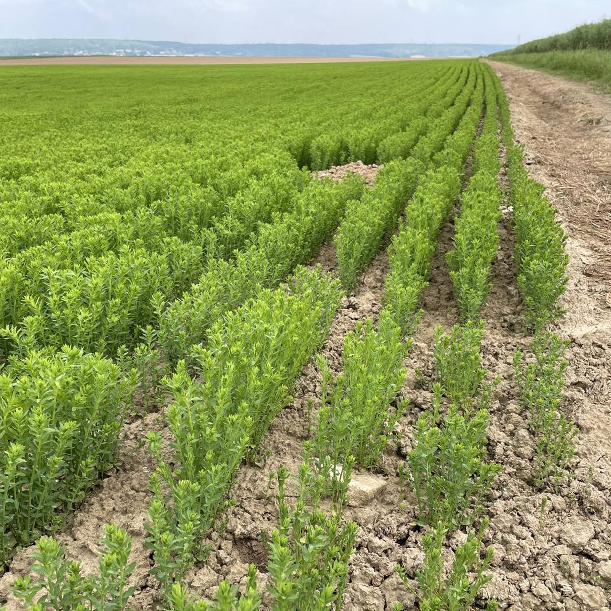

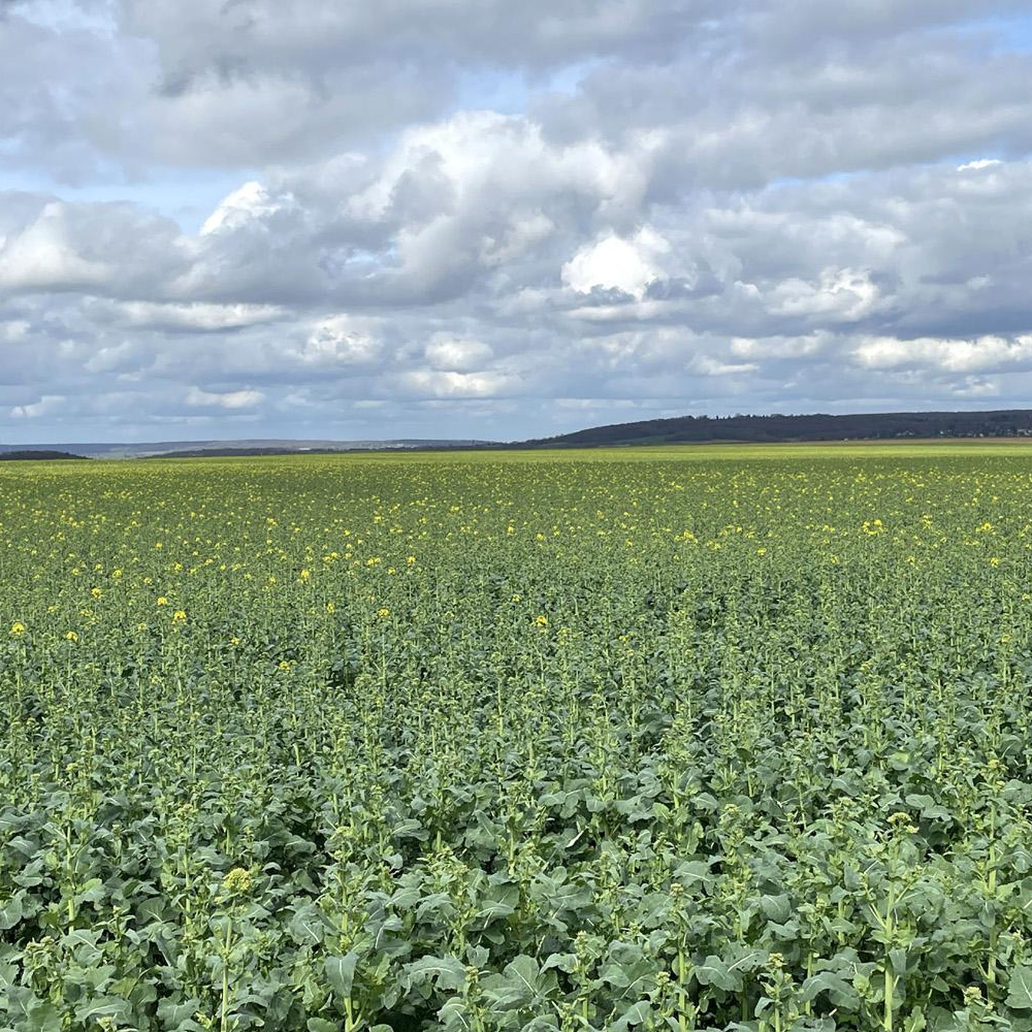

Tips from the Community

A recently renovated historic building.
0
0
Restored wash house offering a lovely spot to stop for a break.
0
0

A short passage on a bridge over the Mauldre, very nice!
0
0

with children, do it in the opposite direction for fewer climbs
0
0
Louis XVI had the forest of Beynes developed for hunting by tracing wide star-shaped paths. This stone table was used as a "debooting" table during hunting with hounds. There are two debooting tables, one small and one large. The large table bears, engraved in the stone, the names of the eight forest roads with their direction; similarly, one can read on the thickness of this round stone the inscription "remade in 1783".
1
0
This small table is in the oldest large circle. A large table is located in the new small star. An old table, called the "débotter" table, on which the king sat so that his large hunting boots could be put on, it also served as a snack table and also, and perhaps especially by climbing onto it by a circular bench, as an observatory in the center of a star. The small table of Beynes seems the oldest, it is a large circular block, split in the middle and supported by four terminals. The large table is more ornate with the inscription "remade in 1783", and its top bears the indication of the roads, also serving as an orientation table. This assignment is unique, moreover the inscription "Route d'Auteuil" does not correspond to the star where it is, but to the Grand Rond. It is reasonable to think that the table from Ste Appoline (Plaisir) was brought there first, while the one from Beynes was being remade, then the tablets were reversed, and this is how the large table is in the small star and gives the orientations of the Grand Rond.
0
0
At a time when animal traction was mainly used in the countryside to pull teams, carts and plows, it was often necessary to shoe draft animals, not only horses, donkeys and mules, but also oxen and even cows. This was the task assigned to the farrier thanks to a small specific building, the "work" (plural: works).
0
0
This portion of the river has been redesigned and replanted to match a more natural route. Footbridges, a pedestrian path, and observation of flora and fauna make it a pleasant place to explore.
0
0
Frequently Asked Questions
How many hiking trails are available around Montainville?
There are over 200 hiking routes around Montainville, offering a wide variety of options for exploring the region's diverse landscapes. These include routes through agricultural land, forests, and along the Mauldre River.
What kind of terrain can I expect on hikes near Montainville?
The terrain around Montainville is quite varied, characterized by its position on the eastern edge of the Mantois plateau and the western slope of the Mauldre valley. You can expect significant elevation differences, ranging from approximately 40 meters in the valley floor to 120-130 meters on the plateau. Hikes often combine forested areas, open fields, and paths along the Mauldre River, providing a mix of landscapes.
Are there hiking options for all skill levels?
Yes, Montainville offers hikes for various skill levels. You'll find approximately 85 easy routes, 113 moderate routes, and 10 more challenging trails, ensuring there's something suitable whether you're a beginner or an experienced hiker.
What do other hikers say about the trails in Montainville?
The hiking routes in Montainville are highly regarded by the komoot community, with an average rating of 4.4 stars from over 290 reviews. Hikers often praise the serene environment, varied landscapes, and the opportunity to explore both natural beauty and local heritage.
Are there any circular hiking routes in Montainville?
Many of the trails around Montainville are designed as loops, allowing you to start and end your hike in the same location. For example, the Hiking loop from Maule is a popular moderate option, and the Saint Martin's Church, Beynes – Ruins of the Château de Beynes loop from Beynes offers a journey through historic landmarks.
Can I bring my dog on the trails around Montainville?
While many trails in France are dog-friendly, it's always recommended to keep your dog on a leash, especially in agricultural areas or near wildlife. Please be mindful of local regulations and respect private property signs. Always carry bags to clean up after your pet.
Are there family-friendly hiking options around Montainville?
Yes, there are numerous family-friendly options, particularly among the 85 easy routes available. These often feature shorter distances and less challenging terrain, perfect for a leisurely outing with children. A good example is the Le Pont Barrat – Ruins of the Château de Beynes loop from Beynes, which is an easy 7.3 km trail.
What natural features or landmarks can I see while hiking?
Hiking around Montainville offers glimpses of diverse natural features and historical landmarks. You can explore the picturesque Mauldre River valley, which is particularly vibrant in springtime, or discover the unique topography of the Mantois plateau. Notable landmarks include the Saint Martin's Church, Beynes, and the Ruins of the Château de Beynes. The broader region also features significant natural areas like Marly Forest and Forêt de Rambouillet.
Are there any castles or historical sites to explore near the trails?
Absolutely. The region is rich in history. You can visit the Ruins of the Château de Beynes, which is featured on several hiking loops. Other nearby castles include Château de Jouars-Pontchartrain and Behoust Castle, offering a blend of natural beauty and historical exploration.
What is the best time of year to hike in Montainville?
Montainville's rural character and diverse landscapes make it enjoyable for hiking throughout much of the year. Spring is particularly vibrant along the Mauldre River valley. The predominantly rural environment, with nearly 90% covered by natural spaces, ensures a serene experience in most seasons, though autumn offers beautiful foliage and summer provides pleasant conditions for longer walks.
Are there any longer, more challenging hikes for experienced trekkers?
Yes, for experienced trekkers seeking a challenge, there are about 10 difficult routes available. One such option is The Vineyards of Beynes – Herbeville loop from Beynes, a 19.3 km path that traverses vineyards, open fields, and forested sections, requiring approximately 5 hours and 17 minutes to complete.
Can I find places to eat or stay near the hiking areas?
Montainville and its surrounding villages offer various local amenities. While specific cafes, pubs, or accommodations are not detailed in the trail information, the region is well-established for tourism, and you can typically find options in nearby towns like Maule or Beynes to refresh and rest after your hike.
Most popular routes around Montainville
Most popular attractions around Montainville

Get inspired with the komoot mobile app


Explore more
Browse the best Hikes in other regions.
