The best walks and hikes around Sarrola-Carcopino
4.3
(971)
7,161
hikers
156
hikes
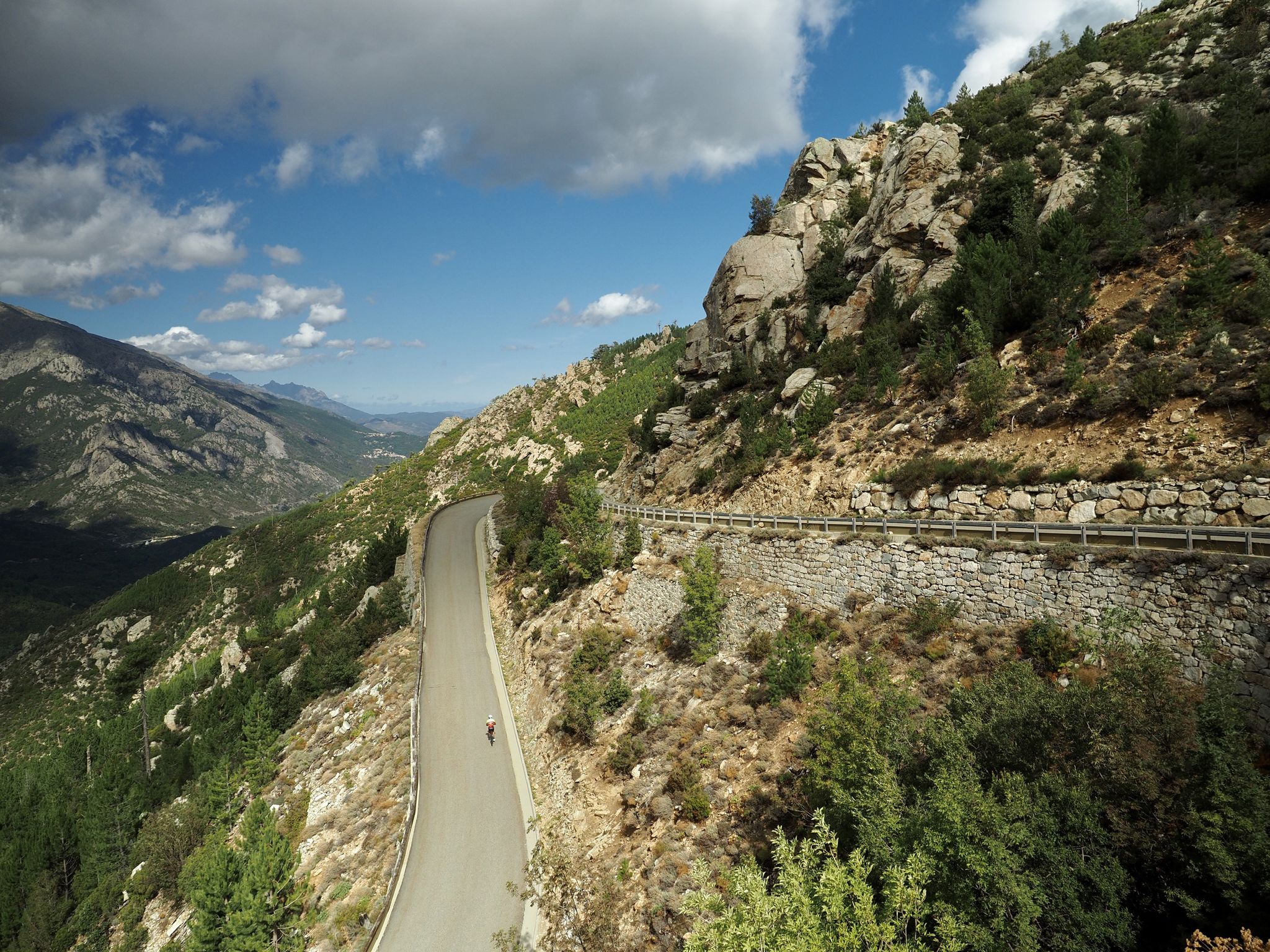
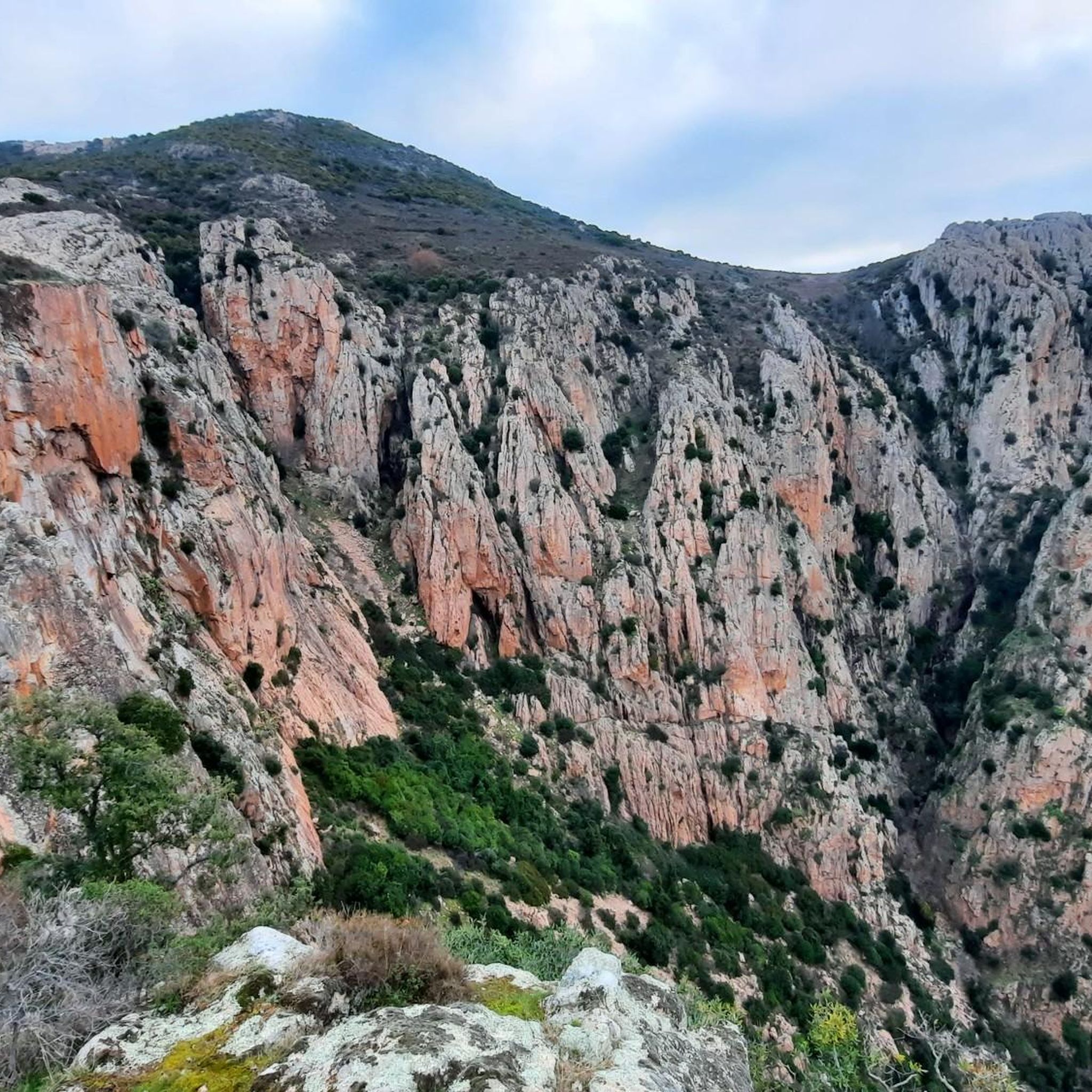
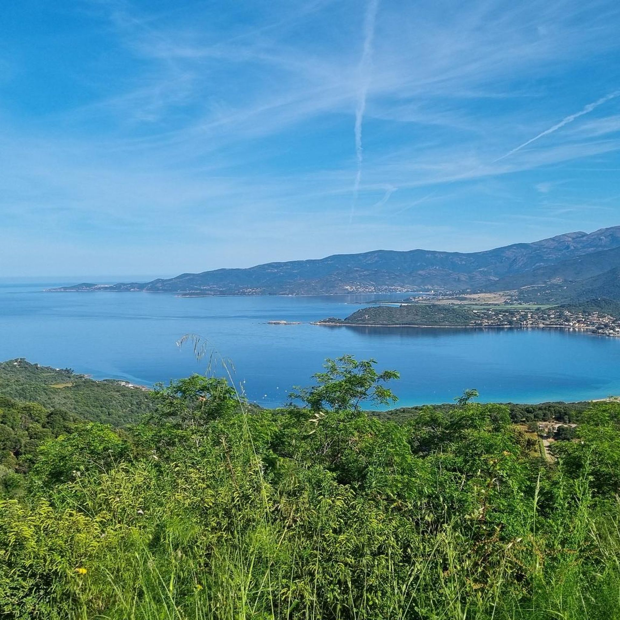
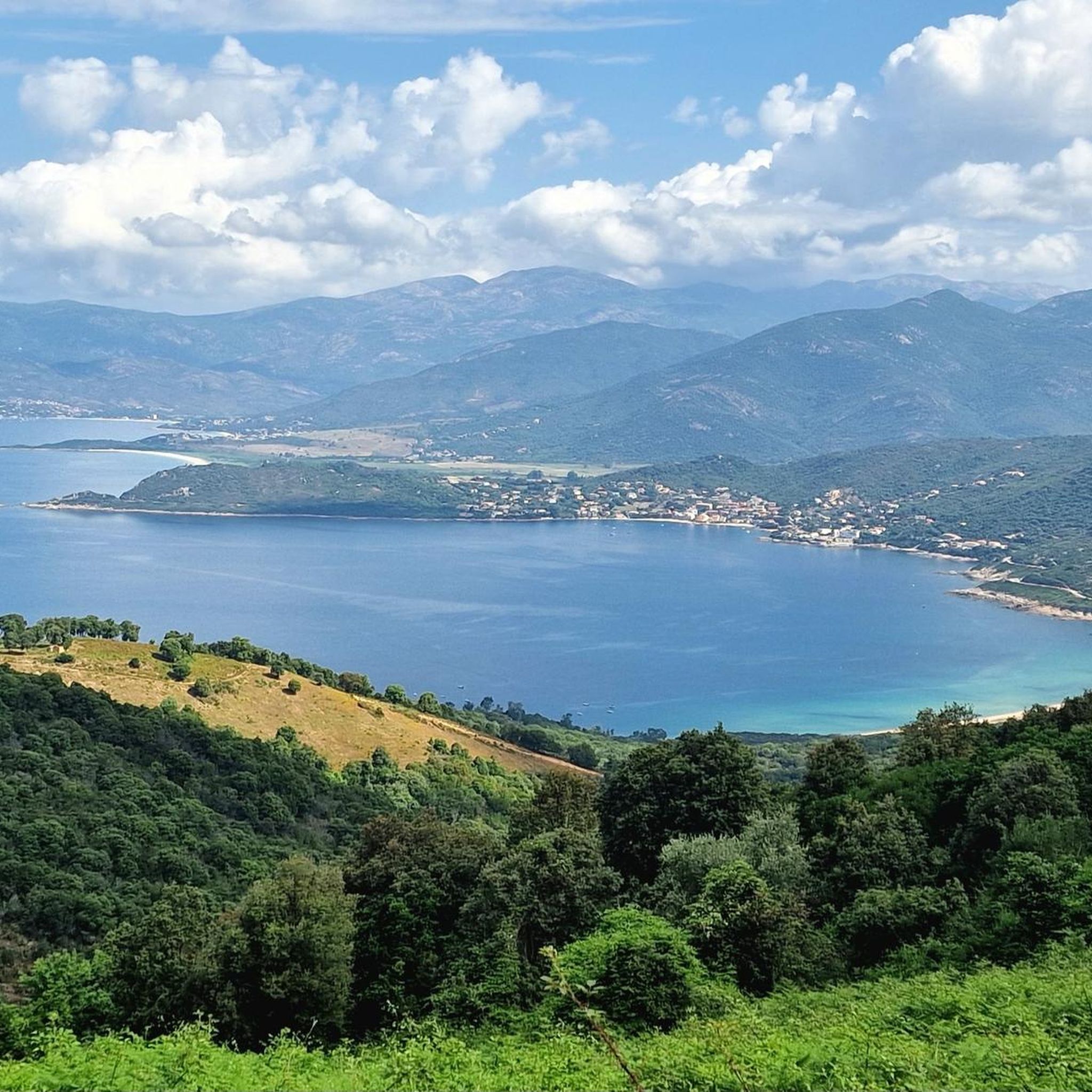
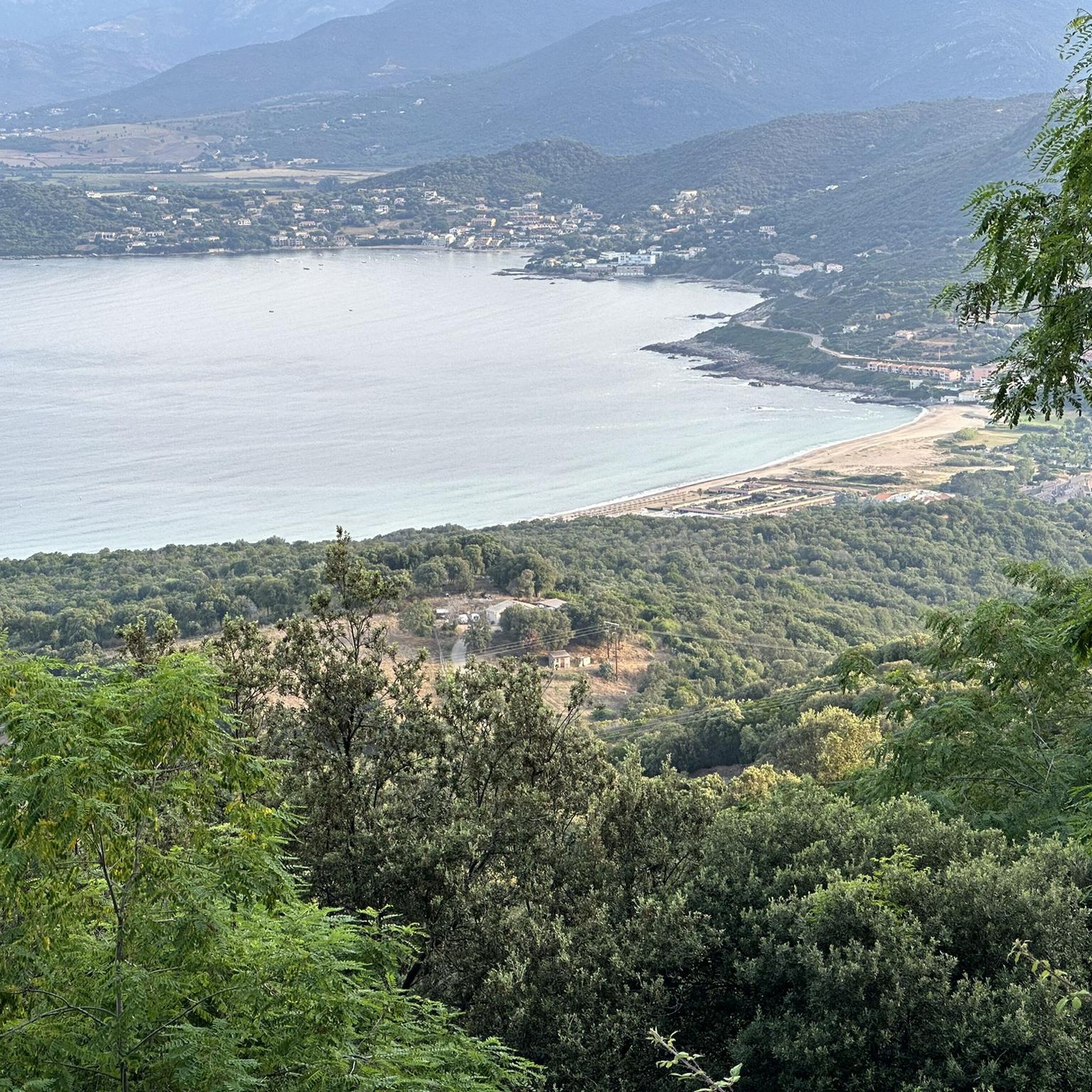
Hiking around Sarrola-Carcopino offers diverse landscapes, from sea level to over 1,100 meters, characterized by mountainous terrain and river valleys. The region features varied Corsican vegetation, including arboreal heaths, strawberry trees, and pine forests. Hikers can explore red granite cliffs like the Rocher des Gozzi, providing panoramic views of the Gulfs of Lava and Ajaccio. Trails often lead to summits such as Punta Sant'Eliseu, offering extensive vistas across the region.
Best hiking trails around Sarrola-Carcopino
- The most popular hiking route…
Last updated: June 28, 2026
4.6
(5)
18
hikers
4.51km
01:24
180m
180m
Easy hike. Great for any fitness level. Easily-accessible paths. Suitable for all skill levels.
1.40km
00:23
20m
20m
Easy hike. Great for any fitness level. Easily-accessible paths. Suitable for all skill levels.

Sign up for free
4.4
(10)
38
hikers
10.6km
03:29
490m
490m
Moderate hike. Good fitness required. Easily-accessible paths. Suitable for all skill levels.
4.5
(2)
14
hikers
13.9km
05:02
820m
820m
Hard hike. Very good fitness required. Sure-footedness, sturdy shoes and alpine experience required.
2.0
(2)
10
hikers
5.97km
01:42
130m
130m
Easy hike. Great for any fitness level. Easily-accessible paths. Suitable for all skill levels.
Get access to more routes and recommendations from other explorers.
Sign up for free
Already have an account?
Our route recommendations are based on thousands of hikes, rides, and runs completed by other people on komoot.
Start today with a free account
Your next adventure awaits.
Login or Signup
Other adventures around Sarrola-Carcopino

Tips from the Community

At this point, the Valle di Mezzana Heritage Trail splits in two. Going straight, you pass over the ridges after a steep climb. To the left, the flat terrain is much more accessible. Whichever you choose, just follow the signs.
0
0
This pretty natural path climbs a small hillock in the town of Afà. This place was at the heart of the village's old hydraulic network, with several mills powered by the waters of the stream.
0
0
This charming fountain is also a former washhouse. We can imagine the inhabitants of yesteryear cleaning their laundry there among its beautiful stones.
0
0
The Sant'Antò trail is intended to reveal the agropastoral history of the municipality of Afà. It leaves at this location, with parking available for motorists.
0
0
Starting from Valle di Mezzana, this old municipal path is today marked to offer a beautiful walk. It is bordered by walls which demarcated the paths of yesteryear.
0
0
This Tinturaggio passage is a pretty part of the Valle di Mezzana path, with its beautiful wooden bridge. In the past, the waters of the stream were also used to control the combustion of nearby coal mines.
0
0
Charcoal pits are old places of charcoal production that can be found on several Corsican trails. You can find an example here.
0
0

Reachable in about 10 minutes on foot
0
0
Frequently Asked Questions
How many hiking trails are available around Sarrola-Carcopino?
Sarrola-Carcopino offers a wide range of hiking opportunities, with over 160 trails recorded on komoot. These routes cater to various preferences, from easy strolls to challenging treks.
What types of terrain and landscapes can I expect on hikes in Sarrola-Carcopino?
The region features diverse landscapes, from sea level to over 1,100 meters. You'll encounter mountainous cirques, varied Corsican vegetation including arboreal heaths and pine forests, and river valleys like the Gravona. Many trails lead to impressive red granite cliffs and summits, offering stunning panoramic views.
What are the difficulty levels of the hiking trails in Sarrola-Carcopino?
The trails around Sarrola-Carcopino offer a good mix for all abilities. There are 74 easy routes, 60 moderate routes, and 28 difficult routes, ensuring options for casual walkers and experienced hikers alike.
Are there any easy, family-friendly hiking options in the area?
Yes, there are many easy trails suitable for families. A great option is the Valle di Mezzana Trail, which is 2.8 miles (4.5 km) long and follows the valley terrain, typically taking about 1 hour 24 minutes to complete. Another easy choice is the Afa Trail.
Where can I find the best panoramic views during a hike?
For breathtaking panoramic views, consider trails leading to summits like Punta Sant'Eliseu, which offers extensive vistas across the region, or the Rocher des Gozzi. The Rocher des Gozzi provides expansive views over the Gulfs of Lava and Ajaccio, as well as inland mountains like Monte Rotondo.
Are there any circular hiking routes available?
Yes, several circular routes are popular in the area. The Small chapel – Punta Sant'Eliseu loop from Sari-d'Orcino is a challenging 8.7-mile (13.9 km) trail, while the Biancamaria fountain loop from Pelave offers an easier 3.7-mile (5.9 km) option.
What do other hikers enjoy most about the trails in Sarrola-Carcopino?
The trails in Sarrola-Carcopino are highly rated by the komoot community, with an average score of 4.3 stars from nearly 900 reviews. Hikers often praise the diverse landscapes, the rewarding panoramic viewpoints, and the variety of routes suitable for different skill levels.
Are there any challenging hikes for experienced trekkers?
Experienced trekkers will find several challenging options. The Tinturaggio stream – Rocher des Gozzi loop from Valle-di-Mezzana is a difficult 6.7-mile (10.8 km) path leading to impressive red granite cliffs. Another demanding route is the Small chapel – Punta Sant'Eliseu loop from Sari-d'Orcino, which covers 8.7 miles (13.9 km) through mountainous terrain.
What historical or cultural landmarks can be found along the hiking trails?
The region is rich in history. You might encounter archaeological sites from the Neolithic period, Roman-era landmarks like the Caldaniccia spring, and medieval structures such as vernacular ovens and dry-stone walls. The ancient dolmen of Valle Bughja I Tempi Anziani also reveals traces of Roman presence.
What is the best time of year to go hiking in Sarrola-Carcopino?
Sarrola-Carcopino offers hiking opportunities throughout much of the year. Spring and autumn generally provide the most pleasant temperatures for hiking. Summer can be hot, especially at lower altitudes, so early morning or late afternoon hikes are recommended. Winter hiking is possible, but higher elevation trails may be subject to snow or colder conditions.
Are there any specific peaks or mountains I can hike to?
Yes, the area is known for its mountainous terrain. You can hike to peaks such as Punta Sant'Eliseu, which offers rewarding views, or the distinctive Rocher des Gozzi. Other notable summits in the vicinity include Mount Aragnascu and Cinaraggia.
Is Sarrola-Carcopino well-connected for hikers relying on public transport?
Sarrola-Carcopino is located approximately 10 kilometers northeast of Ajaccio, which serves as a regional hub. While specific public transport links directly to all trailheads might be limited, its proximity to Ajaccio provides a base for accessing the wider Corsican hiking network. It's advisable to check local transport schedules for connections to specific starting points.
Most popular routes around Sarrola-Carcopino
Most popular attractions around Sarrola-Carcopino

Get inspired with the komoot mobile app


Explore more
Browse the best Hikes in other regions.
