The best walks and hikes around Quemigny-Poisot
4.5
(963)
5,103
hikers
360
hikes
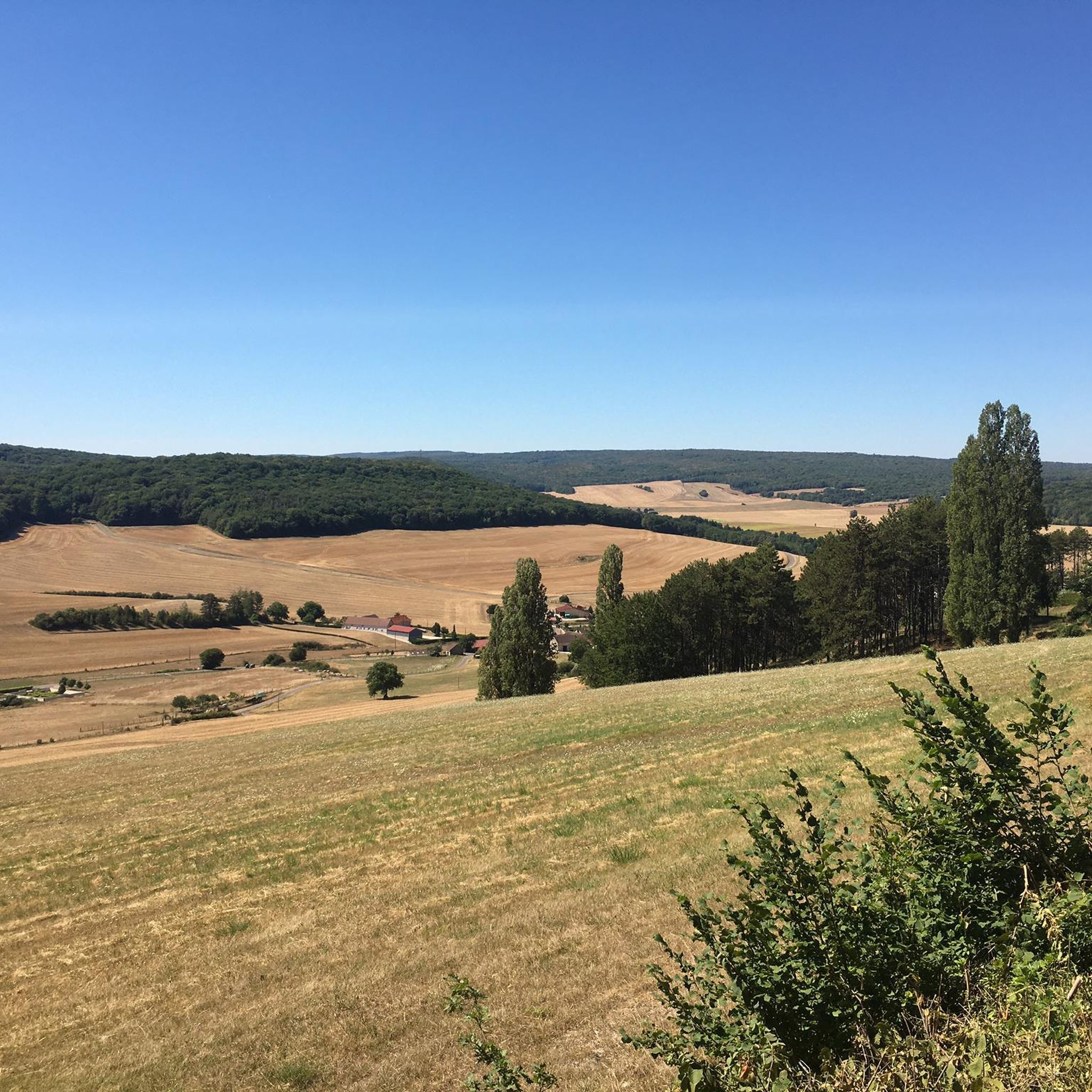
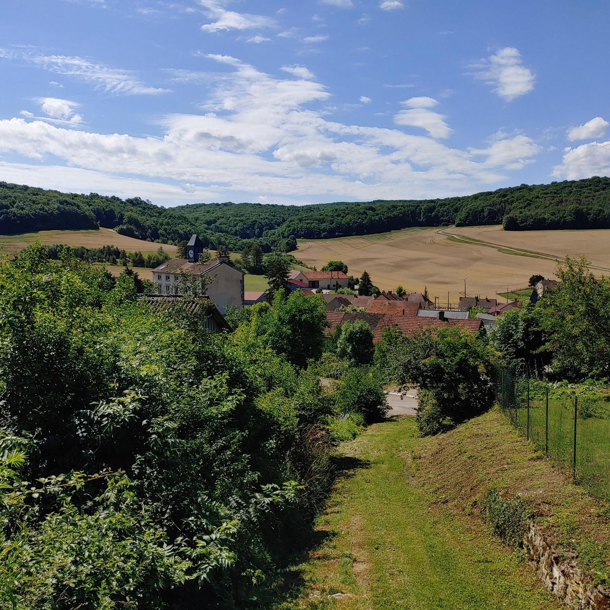
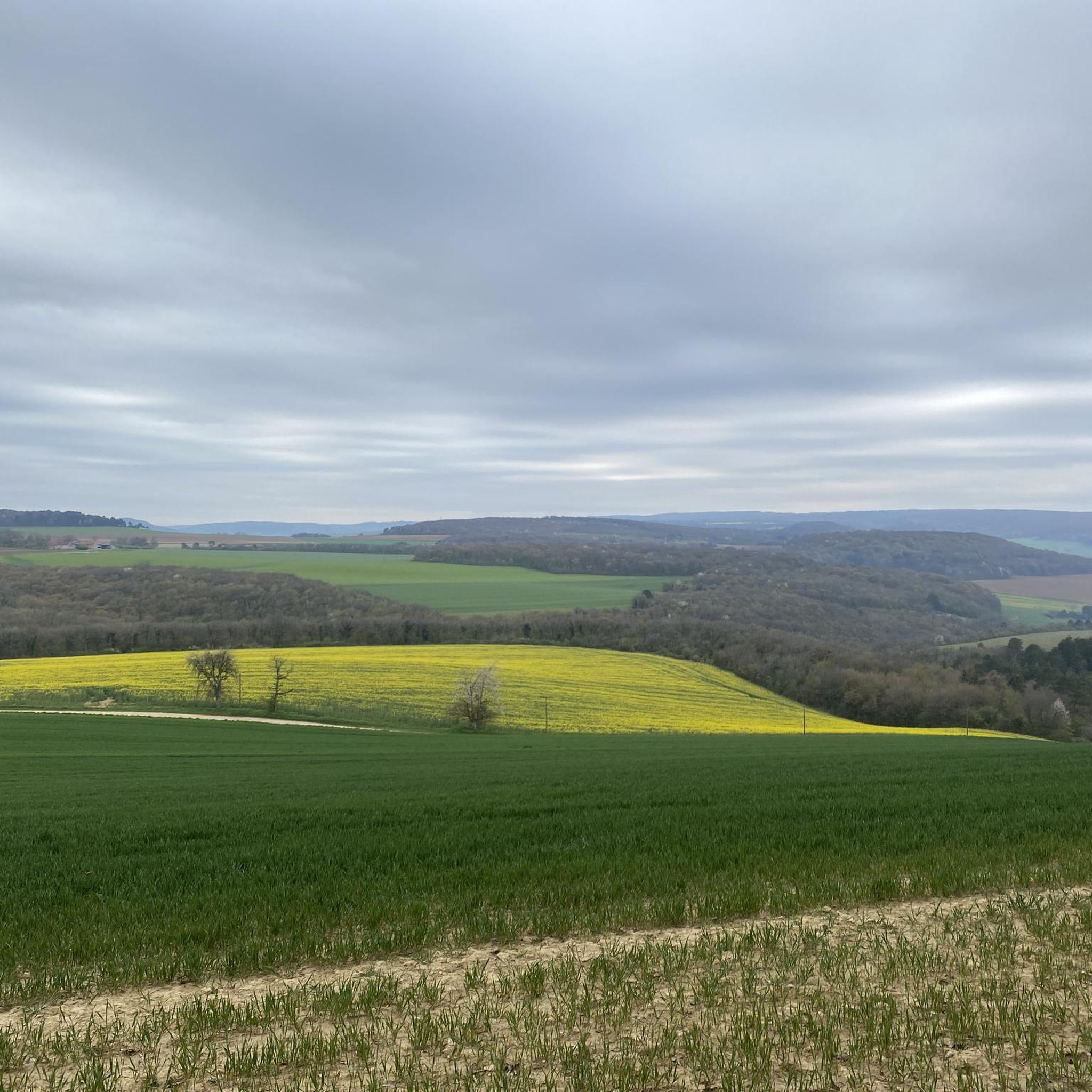
Hiking around Quemigny-Poisot is characterized by a varied topography, with elevations ranging from 400 to 530 meters. The landscape features several valleys, known as "combes," including Combe de l'Oise and Combe Roulée. Dense forests such as Bois de Boutière, Bois de Monchaloin, and Bois Monnerot envelop the area, providing extensive shaded routes. This region in the Côte-d'Or department offers a rural ambiance with well-developed walking routes.
Best hiking trails in Quemigny-Poisot
- The most popular hiking route is Notre-Dame d'Étang Chapel…
Last updated: July 6, 2026
3.5
(8)
24
hikers
7.28km
01:59
100m
100m
Easy hike. Great for any fitness level. Easily-accessible paths. Suitable for all skill levels.
5.0
(2)
7
hikers
5.04km
01:31
170m
170m
Easy hike. Great for any fitness level. Easily-accessible paths. Suitable for all skill levels.

Sign up for free
4.5
(2)
14
hikers
15.3km
04:32
440m
440m
Moderate hike. Good fitness required. Easily-accessible paths. Suitable for all skill levels.
4.0
(1)
8
hikers
12.9km
03:37
250m
250m
Moderate hike. Good fitness required. Easily-accessible paths. Suitable for all skill levels.
5.0
(1)
3
hikers
13.5km
03:59
380m
380m
Moderate hike. Good fitness required. Easily-accessible paths. Suitable for all skill levels.
Get access to more routes and recommendations from other explorers.
Sign up for free
Already have an account?
Our route recommendations are based on thousands of hikes, rides, and runs completed by other people on komoot.
Start today with a free account
Your next adventure awaits.
Login or Signup
Tips from the Community

Idyllic place, perfect place for a break
0
0

A beautiful site, managed and restored by an association. Hikers are welcome to use the picnic tables, for example. A lot of detailed information, including the long history of this site, can be found on the association's website: https://www.leuzeu.fr/index.html
3
0

Toilets on site but be careful it is very rustic
2
0
Old farm rehabilitated into a refuge, which can be reserved online. On the left looking at the entrance, you can take a very beautiful single track (doable on gravel) which connects Clémencey via the forest.
2
0

Magnificent view of the Combe Lavaux, which is worth the short detour.
3
0
There is an unusual arch. A visit is essential during your race.
2
0
There is an unusual arch. A visit is a must during your hike.
2
0

Frequently Asked Questions
How many hiking trails are available around Quemigny-Poisot?
There are over 350 hiking routes in the Quemigny-Poisot area, catering to various skill levels. This includes more than 90 easy trails, over 200 moderate options, and nearly 60 difficult routes for experienced hikers.
What kind of terrain can I expect on hikes in Quemigny-Poisot?
The terrain around Quemigny-Poisot is characterized by a varied topography, with elevations ranging from 400 to 530 meters. You'll find gentle valleys, known as 'combes,' such as Combe de l'Oise and Combe Roulée, alongside dense forests like Bois de Boutière and Bois Monnerot, which provide extensive shaded routes. The area offers a rural ambiance with well-developed walking paths.
Are there any family-friendly hiking options in Quemigny-Poisot?
Yes, Quemigny-Poisot offers several easy trails suitable for families. An excellent option is the Hiking loop from Chambœuf, an easy 7.3 km path that takes about 2 hours to complete, offering a pleasant walk through the local countryside.
Can I find circular hiking routes in the area?
Many of the trails around Quemigny-Poisot are circular, allowing you to start and end at the same point. For instance, the Roche d'Anse loop from Arcey is an easy 5 km trail that leads through varied terrain, including the notable Roche d'Anse feature.
What natural features or landmarks can I see while hiking?
While hiking, you can explore several natural monuments and historical sites. Highlights include the Sainte-Anne Fountain and Naizou Fountain. The region also features beautiful valleys like Combe Lavaux, known for its scenic views.
Are there any historical attractions or castles nearby?
Beyond the natural beauty, the region boasts several historical attractions. You can visit the Church of Our Lady in Quemigny-Poisot itself. Nearby, you'll find impressive castles such as Clos de Vougeot Castle, Gevrey Castle, and Barbirey Castle and Gardens, which are worth exploring.
What is the best time of year to go hiking in Quemigny-Poisot?
The Burgundy region, including Quemigny-Poisot, is pleasant for hiking from spring through autumn. Spring brings blooming flora, while autumn offers vibrant fall colors. The extensive forested areas provide shade, making summer hikes enjoyable as well. Winter hiking is possible, but some trails might be less accessible depending on conditions.
Are dogs allowed on the hiking trails?
Generally, dogs are welcome on many hiking trails in the region, especially in rural and forested areas. However, it's always advisable to keep them on a leash, particularly when passing through agricultural land or nature reserves, to protect local wildlife and livestock. Specific rules may apply in certain protected areas.
What do other hikers enjoy most about the trails in Quemigny-Poisot?
The hiking trails in Quemigny-Poisot are highly rated by the komoot community, with an average score of 4.5 stars from over 800 reviews. Hikers often praise the quiet woodlands, varied terrain, and the opportunity to discover historical sites and rural landscapes, such as those found on the Notre-Dame d'Étang Chapel – Leuzeu Farm loop from Flavignerot.
Are there any longer or more challenging hikes available?
Yes, for those seeking a greater challenge, there are more difficult and longer routes. The Leuzeu Manor Ruins – Leuzeu Farm loop from Urcy is a moderate 15.3 km trail with significant elevation gain, offering a more strenuous experience. Another challenging option is the View of Brochon – Combe Lavaux loop from Côte d’or, a difficult 10.9 km route.
Is public transport available to access hiking trailheads?
While Quemigny-Poisot itself is a smaller village, the broader Burgundy region has some public transport options. For specific trailheads, especially those in more remote areas, a car is often the most convenient way to access them. However, some trails, like those along the Saône River and Canal, are part of the 'Voie Bleue' and may be accessible via regional transport links to nearby towns.
Are there any themed hiking trails in the wider Burgundy region?
Yes, the broader Burgundy region offers several themed hiking trails. These include the Saône Pond Trail, which winds through forests and along the Saône River, and The Lock Trail, following the Saône River and the Canal between Champagne and Burgundy. These trails often highlight specific natural or historical aspects of the area. For more information on regional trails, you can visit Cap Val de Saône Tourisme.
Most popular routes around Quemigny-Poisot
Most popular attractions around Quemigny-Poisot

Get inspired with the komoot mobile app


Explore more
Browse the best Hikes in other regions.
