The best road cycling routes around Saint-Pal-De-Mons
4.2
(126)
3,155
riders
236
rides
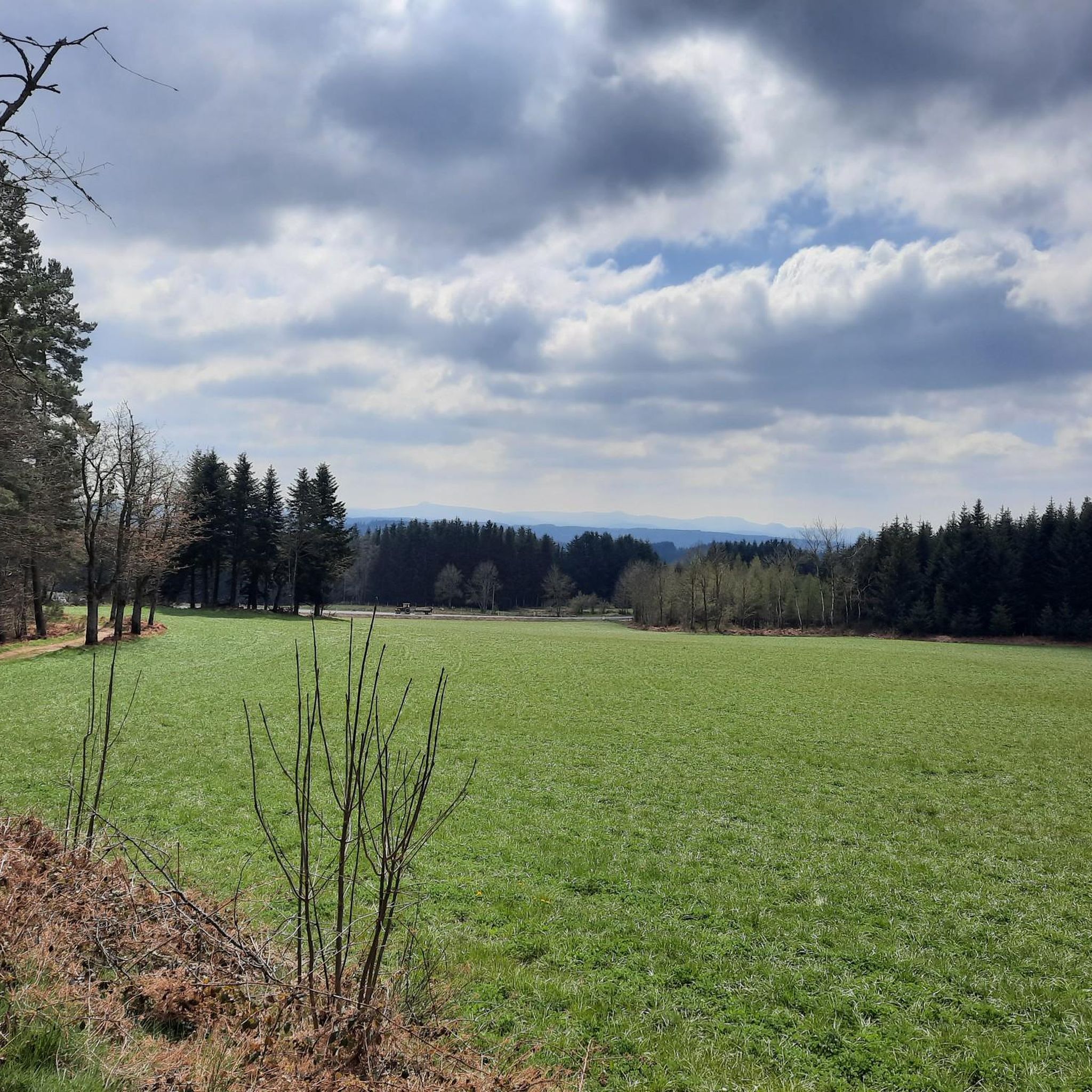
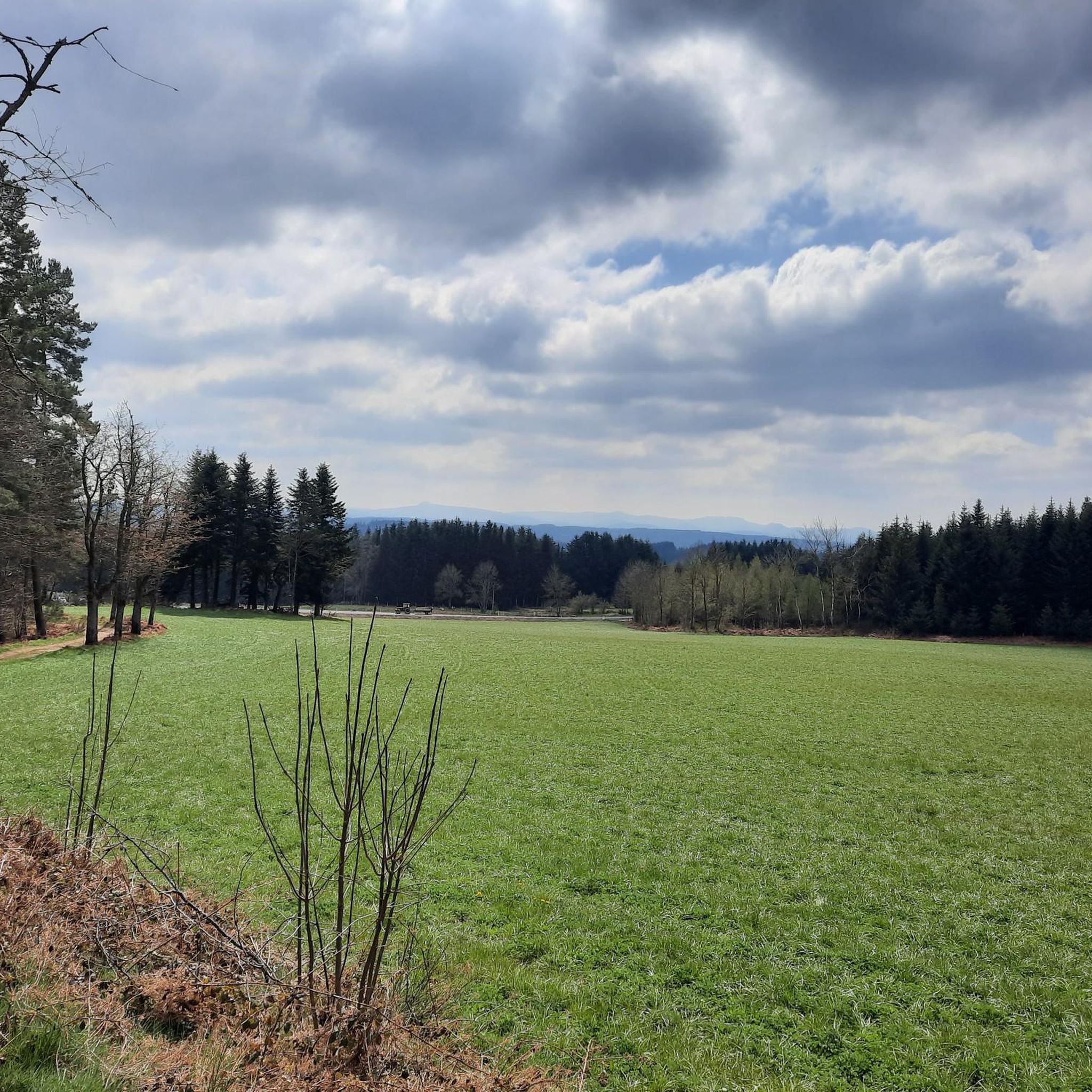
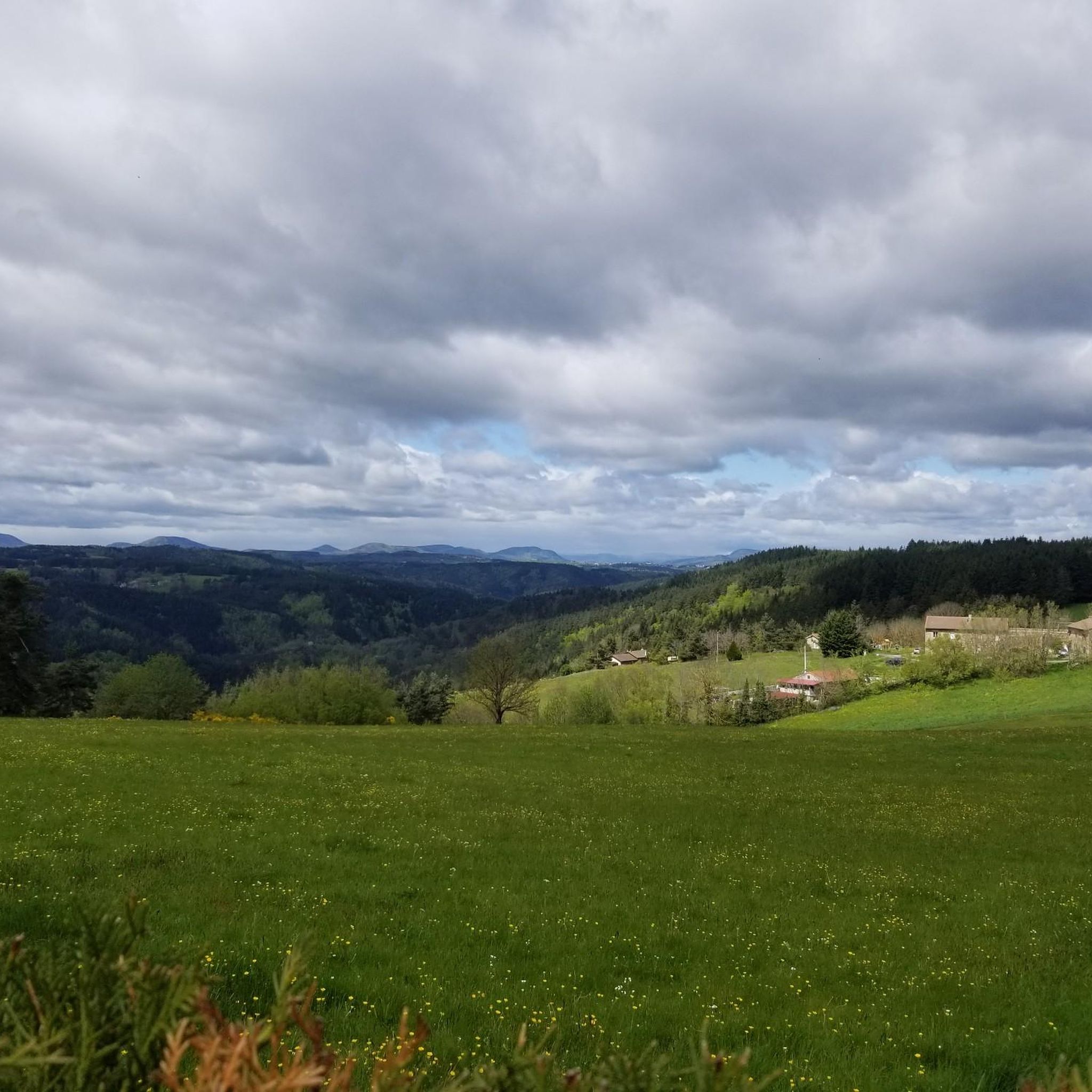
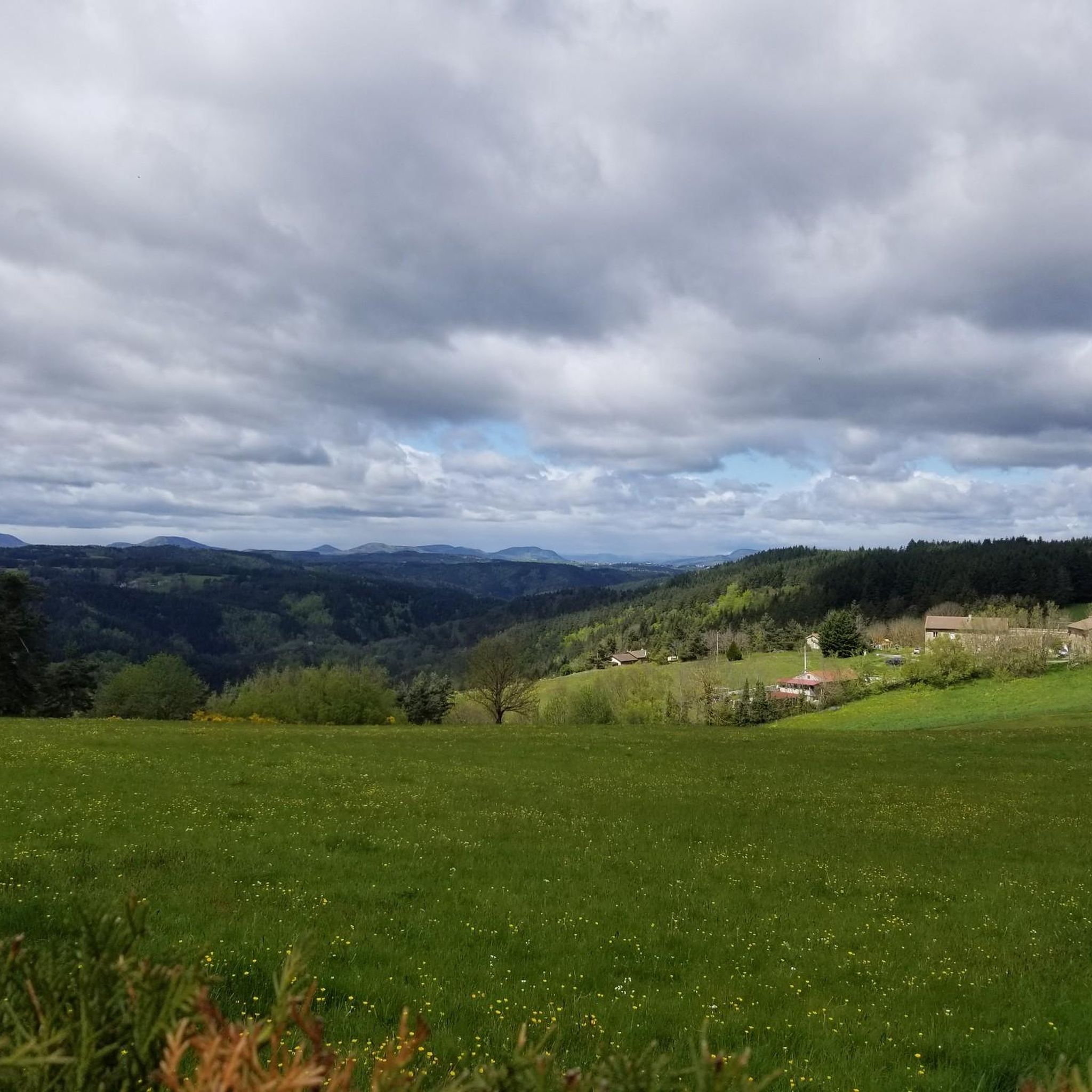
Road cycling around Saint-Pal-De-Mons, located in the Haute-Loire department of France, offers varied terrain with significant elevation changes. The region is characterized by a hilly to mountainous profile, reflecting its volcanic origins within the Auvergne. Cyclists can expect routes that traverse lush forests and pass through charming villages, providing a dynamic experience.
Best road cycling routes around Saint-Pal-De-Mons
- The most popular road cycling route is Sarcenas Viaduct loop from Lotissement Plein Sud, a 37.4 miles (60.2 km) trail that…
Last updated: July 1, 2026
4.5
(2)
38
riders
51.3km
02:34
680m
670m
Moderate road ride. Good fitness required. Some segments of this route may be unpaved and difficult to ride.
5.0
(1)
21
riders
60.2km
03:05
930m
920m
Hard road ride. Very good fitness required. Some segments of this route may be unpaved and difficult to ride.

Sign up for free
39
riders
43.7km
02:12
620m
620m
Moderate road ride. Good fitness required. Some segments of this route may be unpaved and difficult to ride.
13
riders
87.1km
04:36
1,500m
1,500m
Hard road ride. Very good fitness required. Some segments of this route may be unpaved and difficult to ride.
8
riders
89.5km
04:24
1,310m
1,310m
Hard road ride. Very good fitness required. Mostly well-paved surfaces and easy to ride.
Get access to more routes and recommendations from other explorers.
Sign up for free
Already have an account?
Our route recommendations are based on thousands of hikes, rides, and runs completed by other people on komoot.
Start today with a free account
Your next adventure awaits.
Login or Signup

Tips from the Community

very good route for the tour of the lake or even for training for a first triathlon 🚴♂️
0
0

Lively place, lots of shops.
0
0

Beautiful reservoir, the level is low currently because repairs are underway until 2026, but otherwise, it's a little Canada!
0
0

The Lavalette dam is 507 meters long and 60 meters high. This hydraulic dam was built in 1949 upstream of the Lignon river and retains the waters of Lake Lavalette, known for its water sports center.
0
0
Lake Lavalette is fed by the waters of the Lignon and covers 220 hectares at an altitude of 820 meters. The nautical leisure center offers plenty of activities such as catamaran rides, dinghy rides, windsurfing, and also equipment rental: kayaks, pedal boats, stand-up paddleboards, etc.
0
0
Le Riotord is a town full of assets located in the far east of Haute-Loire. It is at the crossroads of many well-marked and maintained hiking trails such as the GR 7 and the path to Saint-Jacques-de-Compostelle but also cycling routes such as the Via Fluvia and the Grande Traversée à VTT de la Haute-Loire. The town has a beautiful 11th century church or a pond ideal for a little nap by the water.
0
0

This dam lake is accessible for swimming and sailing. At the leisure base, you can also find a beach to get in the water but also some amenities such as toilets and something to fill your water bottles.
1
0
Place Jean Béal is located in the heart of the village of Saint-Bonnet-le-Froid. It overlooks the Saint-Bonnet church and is an ideal stop for a coffee or for lunch.
0
0
Frequently Asked Questions
How many road cycling routes are available around Saint-Pal-De-Mons?
There are over 230 road cycling routes around Saint-Pal-De-Mons, offering a wide variety of options for different skill levels and preferences.
What kind of terrain can I expect when road cycling in Saint-Pal-De-Mons?
Road cycling in Saint-Pal-De-Mons is characterized by its hilly to mountainous terrain, featuring significant elevation changes and continuous undulations. The region's volcanic origins contribute to a dynamic landscape with rewarding climbs, such as the notable Cote de Terrière.
Are there routes suitable for beginners or those looking for an easier ride?
Yes, while many routes offer a challenge, there are 13 easy road cycling routes available. Additionally, 113 moderate routes provide a balanced experience through the region's undulating landscape, such as the Jomare loop from Sainte-Sigolène.
What are some challenging road cycling routes for experienced riders?
For experienced riders seeking a challenge, Saint-Pal-De-Mons offers 109 difficult routes. Notable options include the Sarcenas Viaduct loop from Lotissement Plein Sud, which features substantial elevation gain, and the demanding Rochepaule Pass – Col des Baraques (1072 m) loop from Lotissement Plein Sud.
What natural features or attractions might I see along the road cycling routes?
As you cycle, you can expect to pass through lush forests and charming villages. The broader Haute-Loire region, where Saint-Pal-De-Mons is located, is known for its natural beauty. You might encounter landmarks like the Himalayan footbridge at Gorges du Lignon, the scenic Lake Lavalette, or sections of the Via Fluvia.
Are there any circular road cycling routes in the area?
Yes, many of the road cycling routes around Saint-Pal-De-Mons are designed as loops, allowing you to start and end in the same location. Examples include the Roadbike loop from Sainte-Sigolène and the View of the Croix de Peccata – Via Fluvia loop from Saint-Pal-de-Mons.
What do other road cyclists enjoy most about cycling in Saint-Pal-De-Mons?
The area is highly rated by the komoot community, with an average score of 4.2 stars from over 100 reviews. Cyclists often praise the varied terrain, the dynamic experience of the climbs and descents, and the picturesque landscapes that include lush forests and charming villages.
Are there any specific climbs or passes that are popular among road cyclists?
Yes, the local 'Cote de Terrière' is a notable Category 4 ascent, spanning 1.7 kilometers with an average gradient of 5.9%. More challenging routes like the Rochepaule Pass – Col des Baraques (1072 m) loop from Lotissement Plein Sud also feature significant passes.
What is the best time of year for road cycling in Saint-Pal-De-Mons?
Given the region's hilly and mountainous profile, spring through early autumn generally offers the most favorable conditions for road cycling, with milder temperatures and less chance of adverse weather. Always check local forecasts before heading out.
Can I find routes that offer scenic views?
Absolutely. The region's volcanic origins and continuous undulations provide numerous opportunities for scenic views. Routes often traverse through verdant areas, offering glimpses of the dramatic mountains and pristine countryside characteristic of the French Auvergne.
Are there any routes that pass by rivers or greenways?
Yes, some routes may offer views of rivers or incorporate sections of greenways. For instance, you might encounter the Greenway along the Siaulme river or parts of the Via Fluvia, which is also featured in the View of the Croix de Peccata – Via Fluvia loop from Saint-Pal-de-Mons.
Most popular routes around Saint-Pal-De-Mons
Most popular attractions around Saint-Pal-De-Mons

Get inspired with the komoot mobile app


Explore more
Browse the best Road cycling routes in other regions.
