The best walks and hikes around Montils
4.5
(76)
492
hikers
64
hikes
Hiking around Montils offers exploration of a tranquil countryside characterized by vineyards, woods, and agricultural fields within the Charente-Maritime department. The terrain features gentle, rolling hills, providing accessible paths for various abilities. Nearby forests like Forêt de Pons offer additional woodland walking opportunities, while rivers such as the Né and Charente influence the local landscape. This mosaic of natural features creates a diverse setting for outdoor activities.
Best hiking trails around Montils
- The most popular hiking route is Moulin de…
Last updated: October 28, 2026
4.0
(2)
8
hikers
13.5km
03:38
180m
180m
Moderate hike. Good fitness required. Easily walkable paths.
5.0
(6)
9
hikers
12.1km
03:03
10m
10m
Moderate hike. Good fitness required. Easily walkable paths.

4.5
(2)
2
hikers
11.4km
02:59
80m
80m
Moderate hike. Good fitness required. Easily walkable paths.
4
hikers
Moderate hike. Good fitness required. Easily walkable paths.
5.0
(1)
2
hikers
11.4km
02:57
70m
70m
Moderate hike. Good fitness required. Easily walkable paths.
Get access to more routes and recommendations from other explorers.
Already have an account?
Our route recommendations are based on thousands of hikes, rides, and runs completed by other people on komoot.
Start today with a free account
Your next adventure awaits.


Tips from the Community

The Chaniers ferry (Charente-Maritime) is one of the last traditional river ferries still in operation in France. It allows crossing the Charente River between Chaniers and Courcoury, a few kilometers downstream from Saintes. A crossing used for centuries History of the Chaniers ferry The ferry crossing at Chaniers is very old: it dates back to the Middle Ages. In the mid-17th century, it was already an important crossing point on the Charente. It was not only used to cross the river: it also allowed residents to access the meadows on the other side, particularly for agricultural activities. In the early 20th century, the Chaniers ferry was part of a much larger network of crossings on the Charente. In 1909, thirteen ferries were still recorded in Charente-Inférieure, including the one in Chaniers. Ferries were essential at the time before the proliferation of bridges. Why "chain ferry"? The principle consists of holding the ferry on a chain connecting the two banks. The ferryman uses this chain to move the boat forward and keep it on its course despite the current. In Chaniers, the current ferry is motorized, unlike the ferry in Dompierre-sur-Charente, which is operated manually. The Tourist Office, however, still describes it as a "chain ferry," and the municipality as the traditional crossing method connecting Chaniers to Courcoury. The ferry today The crossing takes place between Le Communal in Chaniers and the Courcoury bank. It is free and can transport pedestrians, cyclists, and motorized vehicles. Its operation depends in particular on the flow of the Charente River. The municipality of Chaniers officially presents "the port of Chaniers and its chain ferry" as an element of its local heritage. Important point: I am correcting my previous message: the Chaniers ferry is not simply a "19th-century ferry." The crossing has been attested since the Middle Ages; it is its mode of operation and its equipment that have evolved over the centuries.
0
0

In the heart of the singles of the forest of St Leger
0
0

I really enjoyed this ride. I’m 46, I did it on a 40 year old road bike, it’s more suited to a cyclocross bike!
1
0

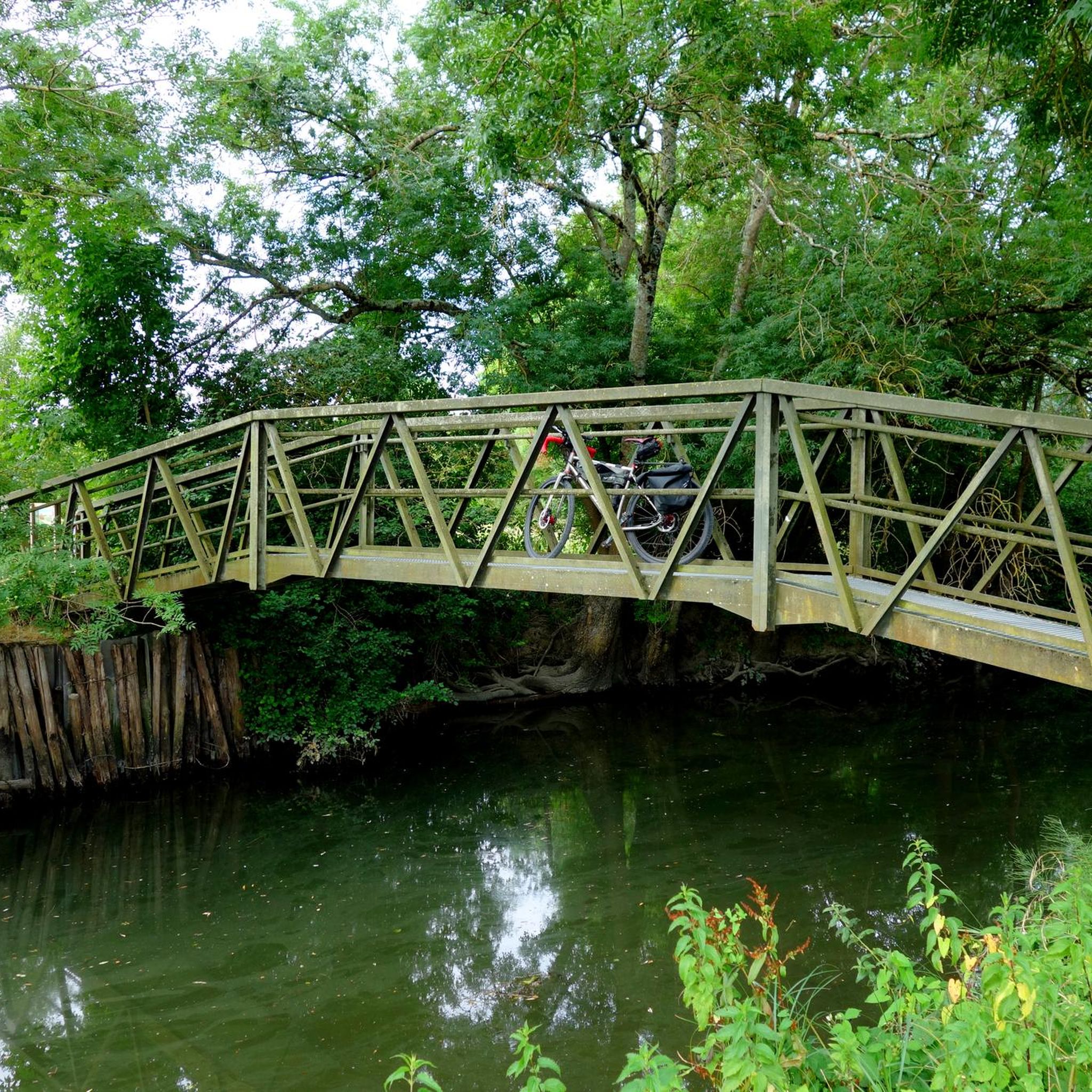
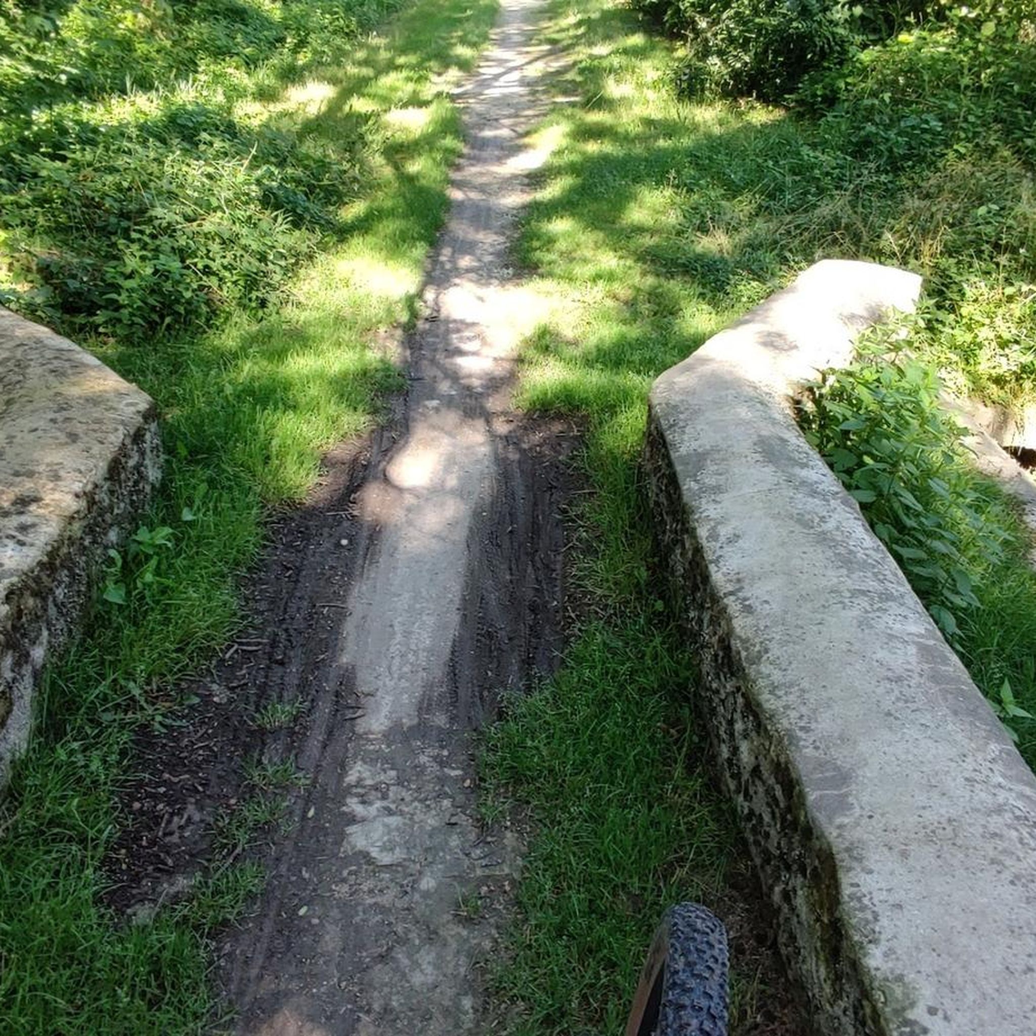
Take a closer look at the rocks to see the location of a Gallic medieval bridge.
2
0

There is also drinking water here.
0
0
Le lieu, sur un promontoire dominant le Ris-Bellot, un affluent de l'Antenne était proche de la voie romaine Saintes-Lyon dite Chemin des Romains ou Chemin chaussé. La paroisse "Saint-Andrea de Combis' est signalée dans les textes anciens. Un sanctuaire précéda l'église (fin 12e siècle) puis l'implantation d'un prieuré de l'ordre de Saint-Augustin cité au 14e siècle. L'église Saint-André faisait partie d'un important prieuré qui a existé jusqu'à la Révolution. Ce prieuré-cure dépendait de Saint-Vivien de Saintes. Les bâtiments jouxtaient l'église qui fut exhaussée pour créer un appartement au-dessus du choeur. Les religieux restèrent dans ces lieux jusqu'au 18e siècle. C'est une église romane à un vaisseau, à nef voûtée en berceau brisé et chœur voûté en plein-cintre. Le chevet est adjacent aux bâtiments de l'ancien prieuré, devenu un temps l'école. Le clocher de plan carré, accolé au sud de l'église, peut dater du 15e siècle. La cloche daterait du XIIe siècle. La sacristie qui suit à l'est porte la date de 1685. Restaurée en 1784 et au 19e siècle, l'église fut ensuite refaite à l'intérieur en 1910-1911 : parois, voûtes et plâtre. Une simple nef de plan allongé se terminait par une abside. Cette dernière garde quelques éléments romans occultés par les bâtiments de l'ancien prieuré. La nef est couverte d'un berceau brisé en briques. La travée sous clocher est sur croisée d'ogives. Le chœur se termine par un cul de four. Il est précédé de colonnes engagées au décor roman. Le retable en bois tourné mouluré date du XIXe siècle. Les tableaux sont de la même époque. Le portail ouest est à trois voussures, les deux dernières étant sculptées de losanges et de pointes de diamant. Un enfeu a été pratiqué à gauche du portail. Deux statues encadrent la baie de la façade. La façade occidentale, datant du XIIe siècle fait l’objet d’une inscription au titre des monuments historiques depuis le 5 décembre 1991. Elle comporte un portail, une fenêtre et une corniche avec des modillons sculptés. Lors de la rénovation de 2002 ce sont les visages du maire de Louzac et du maire adjoint de Saint-André qui ont servi de modèles. Un petit bijou d'histoire et de mutation historique dans la destination des lieux.
0
0

The place offers peace and quiet. A book to enter is out. Fresh floral decoration creates a very nice feeling. Lovingly done.
1
0
Frequently Asked Questions
What kind of terrain can I expect when hiking around Montils?
Hiking around Montils offers a tranquil countryside experience with gentle, rolling terrain. You'll find paths winding through vineyards, woods, and agricultural fields. The area is part of the 'Petite Champagne' region, known for its scenic views that change with the seasons.
Are there any easy hiking trails suitable for beginners or casual walkers?
Yes, Montils offers several easy routes. For example, the Pont des Gaulois loop from Chérac is an easy 3.7-mile (6 km) trail that takes approximately 1 hour 34 minutes to complete, perfect for a relaxed stroll through the countryside.
What are some notable natural features or landscapes to see on the trails?
The local landscape is a mosaic of vineyards, woods, and agricultural plains. While hiking, you'll experience serene rural French life. The area is also influenced by rivers like the Né, with some routes exploring its valleys and wetlands, offering glimpses of diverse flora and fauna. The nearby Forêt de Pons, about 8 kilometers away, provides opportunities for woodland walks.
Are there any historical landmarks or attractions I can visit while hiking?
Yes, Montils is close to several historical sites. You can explore the medieval town of Pons, just 8 kilometers away, which features the prominent Pons Donjon. Other nearby attractions include the Abbaye de Fontdouce and the Abbaye aux Dames de Saintes, offering insights into the region's rich heritage.
Are there any circular hiking routes available?
Many of the trails around Montils are designed as loops. A popular moderate circular route is the Moulin de Saint-Laurent – Pont des Gaulois loop from Chérac, which is 8.1 miles (13 km) long and takes about 3 hours 31 minutes to complete, leading through varied rural landscapes.
Is Montils a good destination for family-friendly hikes?
Yes, the gentle, rolling terrain and the presence of easy routes make Montils suitable for families. The trails often pass through pleasant woods and vineyards, providing an enjoyable outdoor experience for all ages. Consider the easier sections of local trails for younger children.
What is the best time of year to go hiking in Montils?
The region is beautiful throughout the year. Spring brings vibrant green landscapes, while autumn offers golden hues in the vineyards, making both seasons ideal for hiking. The moderate climate of Charente-Maritime generally allows for pleasant hiking conditions outside of the hottest summer months.
What do other hikers say about the trails in Montils?
The hiking routes in Montils are highly rated by the komoot community, with an average score of 4.4 stars from 48 reviews. Hikers often praise the tranquil atmosphere, the diverse scenery of vineyards and woodlands, and the well-maintained paths that offer an immersive experience in rural France.
Are there options for longer or more challenging hikes around Montils?
While Montils primarily offers easy to moderate trails, the broader Charente-Maritime region, where Montils is located, is crossed by sections of the historic Ways of Saint-Jacques-de-Compostelle. These pilgrimage routes offer opportunities for longer-distance hiking for those seeking more extensive challenges.
Can I find places to eat or stay near the hiking trails in Montils?
Montils itself is a charming commune, and its proximity to larger towns like Pons (8 km away) and Cognac (15 km away) means you can find various cafes, pubs, and accommodation options within a short drive. These towns offer a range of services to complement your hiking trip.
Are there any specific trails that offer views of the agricultural plains?
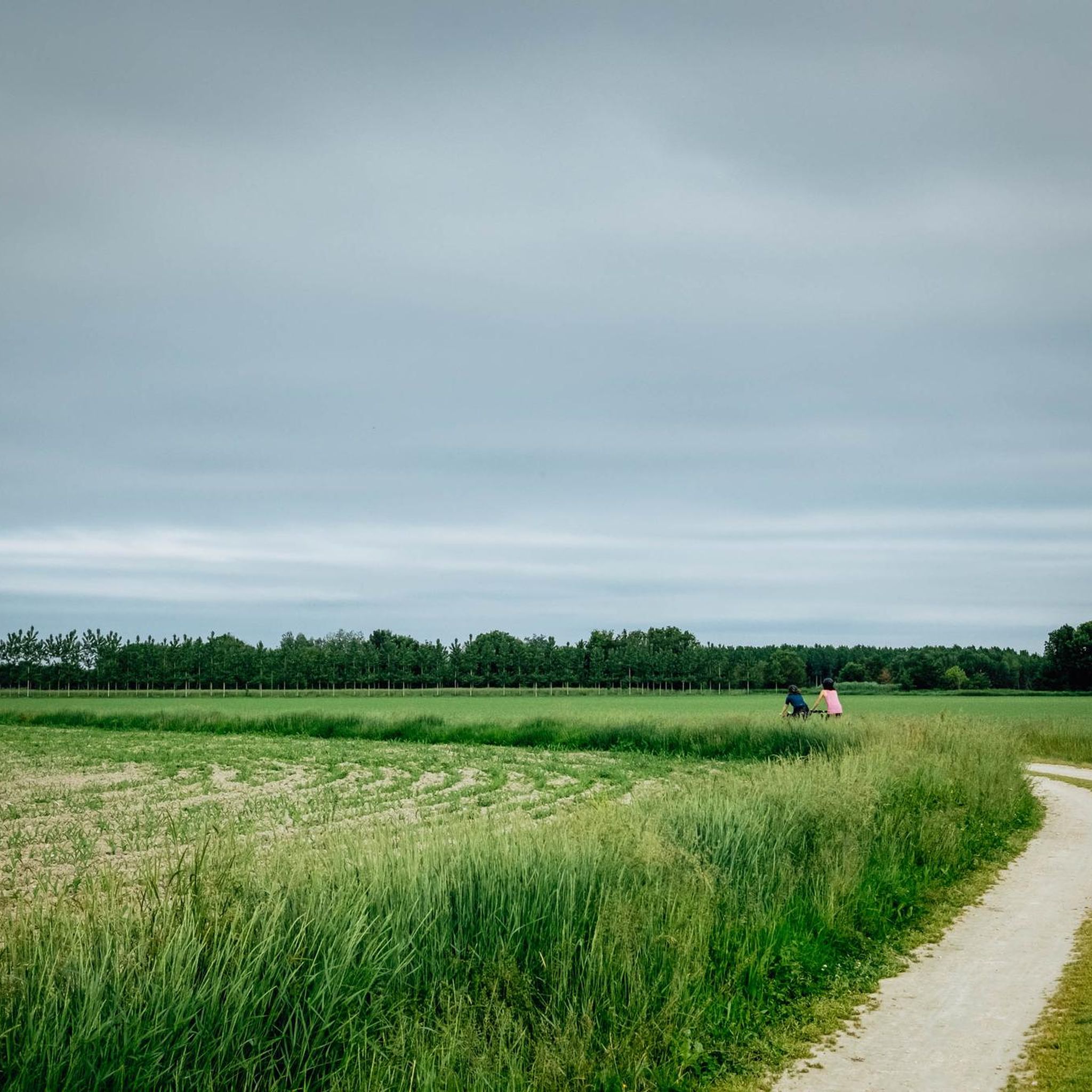
Yes, the agricultural plains are a defining feature of the Montils landscape. The Chaniers chain bin loop from Chaniers, a moderate 7.5-mile (12.1 km) path, offers excellent views of these plains alongside local woodlands, with minimal elevation changes.
How many hiking trails are available in total around Montils?
There are over 50 hiking trails available around Montils, catering to various difficulty levels. This extensive network ensures plenty of options for exploring the diverse landscapes of the region.
Most popular attractions around Montils

Get inspired with the komoot mobile app


Explore more
Browse the best Hikes in other regions.
