The best running trails around Saint-Amans-Soult
4.1
(20)
1,977
runners
19
runs
Jogging around Saint-Amans-Soult offers diverse terrain within the Haut-Languedoc Regional Natural Park, situated at the foot of the Montagne Noire. The region features extensive beech and chestnut forests, the tranquil Thoré Valley, and the challenging elevations of the Montagne Noire. Runners can explore a network of trails that wind through varied landscapes, from river valleys to mountain peaks and the accessible "Passa Païs" greenway.
Best jogging routes around Saint-Amans-Soult
- The most popular jogging route is Pic de Nore – Saint-Amans-Valtoret…
Last updated: July 4, 2026
5.0
(1)
658
runners
29.3km
04:26
1,590m
1,590m
Hard run. Very good fitness required. Mostly paved surfaces. Suitable for all skill levels.
4.5
(2)
479
runners
43.9km
06:40
2,330m
2,330m
Hard run. Very good fitness required. Mostly paved surfaces. Suitable for all skill levels.

Sign up for free
1.0
(1)
228
runners
17.2km
02:36
940m
940m
Hard run. Very good fitness required. Mostly accessible paths. Some sure footedness required.
43
runners
21.7km
03:16
1,120m
1,120m
Hard run. Very good fitness required. Mostly paved surfaces. Suitable for all skill levels.
20
runners
Hard run. Very good fitness required. Mostly accessible paths. Some sure footedness required.
Get access to more routes and recommendations from other explorers.
Sign up for free
Already have an account?
Our route recommendations are based on thousands of hikes, rides, and runs completed by other people on komoot.
Start today with a free account
Your next adventure awaits.
Login or Signup

Tips from the Community

Save your energy for the last 5km, be careful when it's windy.
0
0

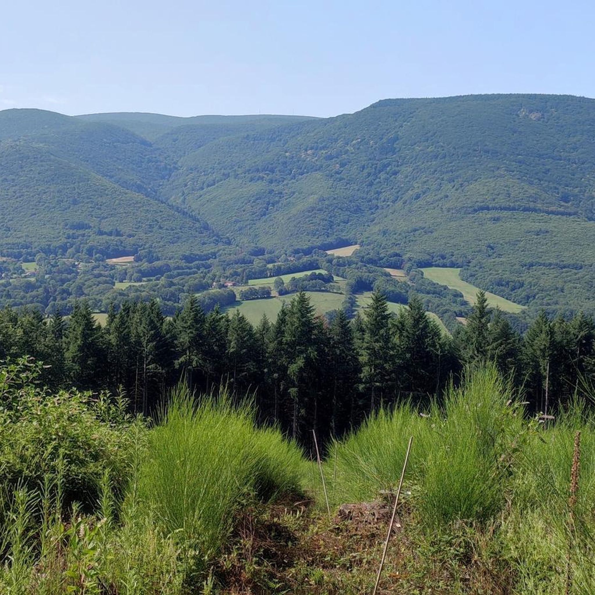
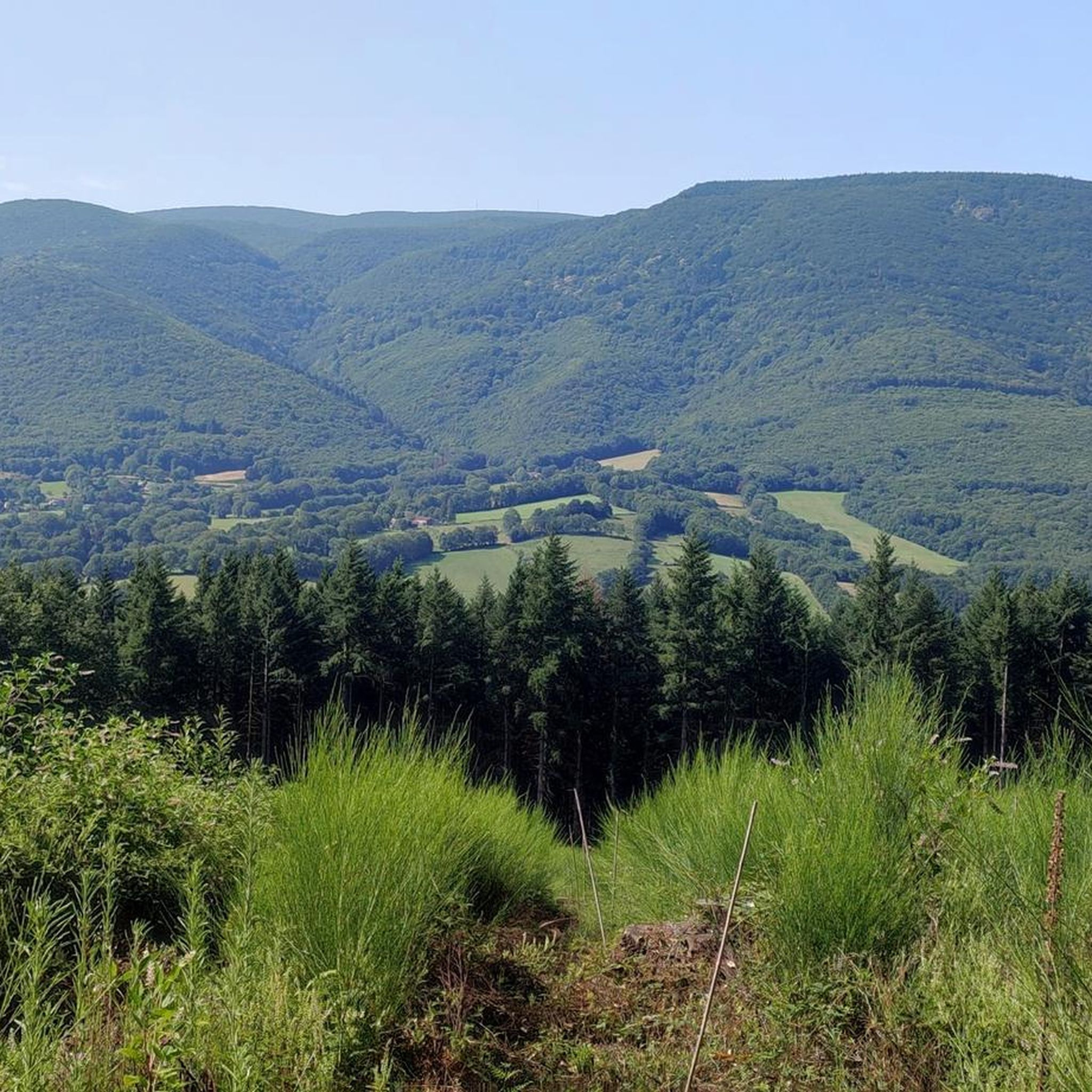
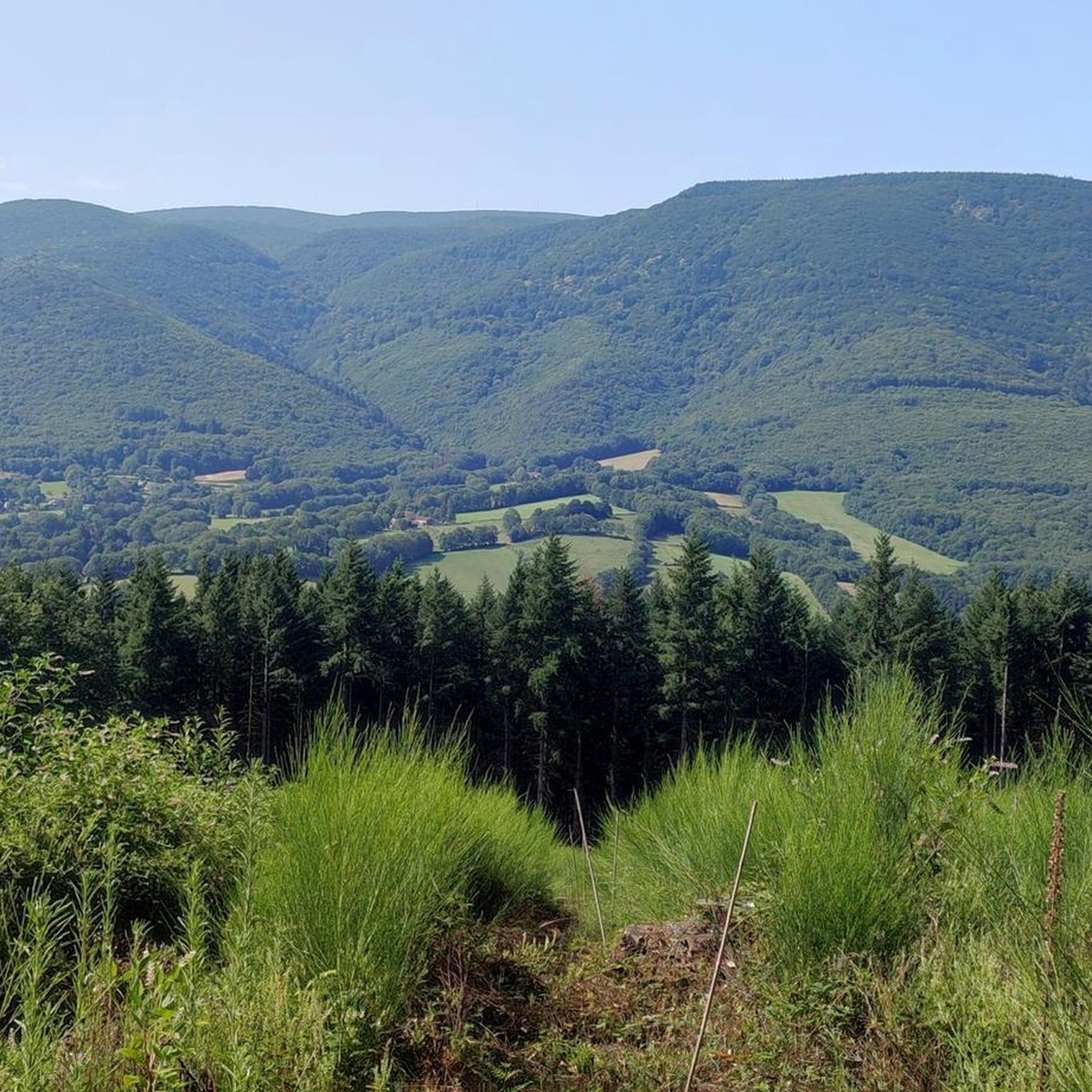
We like to compare, the Pic de Nore is a small Ventoux, its climbs from Mazamet or Villeneuve-Minervois are not as steep as that of the Ventoux from Bédoin but they still have to be earned. They are 17 and 22 km respectively, have an average gradient of 5.5% and 4.56%, with a maximum gradient of 11.8% and 10%. For my part, I chose to join Pradelles-Cabardès via the forests from Limousis, passing in particular the Soulanes de Nore, I was treated to some good slopes with a double-digit percentage ... Two legends would explain its name: in the first it is the fairy Nore who, annoyed by the damage caused to the crops by the Cers wind, would have planted her pike in the ground there, and as if by magic the rocks would have accumulated around to form the Pique de Nore. In the second, the wind of Cers is still blamed for its damage to human crops, not only there, and it is Nore, Bug and Arach who went to complain to Jupiter. Jupiter does not like to be disturbed, he transformed Nore into a mountain and Bug and Arach into the summit of Bugarach ...
3
0


Very nice walk, varied nature, beautiful view, very pretty heather ☺️ Partially shaded.
1
1

Despite its low altitude (only 1,211 meters), the Pic de Nore, located in the Aude department and the highest point of the Montagne Noire, can experience extremely harsh weather conditions. You can't miss its imposing red and white television antenna.
0
0

very beautiful 12th century castle. It is possible to access it from the Passa païs greenway via a small bridge over the Thoré. More information about the castle: https://fr.m.wikipedia.org/wiki/Ch%C3%A2teau_de_Sauveterre
0
0

Small lake created in 1973 as a reserve for fire fighting. It offers a pleasant site near the Pic de Nore.
1
0

This charming little town is part of the Montagne Noire. It is surrounded by remarkable nature made up of five natural areas of ecological, faunal and floristic interest. To rest, observe nature or swim in the lake located below the village, Pradelles-Cabardès is a very pleasant stop.
1
0
Frequently Asked Questions
How many running routes are available around Saint-Amans-Soult?
There are over 20 running routes around Saint-Amans-Soult, offering a variety of experiences for different skill levels. The komoot community has rated these routes with an average score of 4.2 stars.
What kind of terrain can I expect on the jogging routes in this region?
The terrain around Saint-Amans-Soult is quite varied, ranging from the challenging, forested slopes of the Montagne Noire to the more gentle paths of the Thoré Valley. You'll find routes with significant elevation changes, especially those leading towards Pic de Nore, as well as flatter sections, such as along the "Passa Païs" Greenway. The Haut-Languedoc Regional Natural Park provides a mix of beech and chestnut forests, wild heathlands, and trails along rivers like the Arn in the Banquet Gorge.
Are there running routes suitable for beginners or those looking for an easy jog?
While many routes in the area are rated as moderate to difficult due to the Montagne Noire's elevation, there are options for easier jogs. The "Passa Païs" Greenway, for instance, offers a dedicated, relatively flat path suitable for a relaxed run. For a moderate challenge, consider routes that stick to the lower valleys or shorter loops through the forests.
What are the most challenging running trails in the Saint-Amans-Soult area?
For experienced runners seeking a challenge, the routes ascending to Pic de Nore are highly recommended. For example, the Pic de Nore – Saint-Amans-Valtoret loop from Saint-Amans-Soult is a difficult 18.2-mile (29.4 km) trail with significant elevation gain. Another demanding option is the Pic de Nore Summit – Pic de Nore loop from Saint-Amans-Soult, which covers 10.7 miles (17.2 km) and also features substantial climbing to the highest point of the Montagne Noire.
What natural features or landmarks can I see while running in Saint-Amans-Soult?
The region is rich in natural beauty. You can explore the dramatic Banquet Gorge formed by the River Arn, or run through the extensive forests of the Haut-Languedoc Regional Natural Park. For stunning panoramic views, routes leading to Pic de Nore are ideal. Additionally, you might encounter various mountain passes such as Col de la Croix de Sous (893 m) or serene lakes like Lac de Birotos and Lac des Montagnès.
Are there any circular running routes available?
Yes, many of the running routes around Saint-Amans-Soult are designed as loops, allowing you to start and finish at the same point. Examples include the Pic de Nore Summit – Pic de Nore loop from Les Estrabauts Hauts, which is a difficult 13.7-mile (22.1 km) trail, or the Saint-Amans-Valtoret – Fox Mural on the Voie Verte loop from Saint-Amans-Soult, a moderate 10.2-mile (16.5 km) option.
When is the best time of year to go running in Saint-Amans-Soult?
The region is enjoyable for running throughout much of the year. Spring and autumn offer pleasant temperatures and beautiful scenery with changing foliage. Summer can be warm, but the forested trails of the Montagne Noire provide welcome shade. Winter running is possible, especially on lower elevation trails, though higher mountain paths may require appropriate gear due to colder conditions or potential snow.
Are there any family-friendly running options?
For families, the "Passa Païs" Greenway is an excellent choice as it's generally flat and well-maintained, providing a safe environment away from traffic. Shorter, less strenuous loops through the local forests or around the bastide of Saint-Amans-Soult also offer enjoyable options for families to jog together.
Can I bring my dog on the running trails?
Many trails within the Haut-Languedoc Regional Natural Park are dog-friendly, but it's always advisable to keep your dog on a leash, especially in areas with wildlife or livestock. Please ensure you respect local regulations and clean up after your pet to preserve the natural environment for everyone.
Is parking readily available near the trailheads?
Parking is generally available in and around Saint-Amans-Soult, particularly at popular starting points for trails. For specific routes, it's often possible to find parking in nearby villages or designated areas close to the trailheads, especially for routes that start directly from the town or well-known natural sites.
What do other runners enjoy the most about jogging in Saint-Amans-Soult?
The area is highly rated by the komoot community, with an average score of 4.2 stars from over 20 reviews. Reviewers often praise the diverse landscapes, from the challenging ascents of the Montagne Noire to the peaceful forest paths and scenic views. The well-maintained trails and the opportunity to connect with nature are frequently highlighted as key attractions.
Most popular routes around Saint-Amans-Soult
Most popular attractions around Saint-Amans-Soult

Get inspired with the komoot mobile app


Explore more
Browse the best Running Trails & Routes in other regions.
