The best running trails around Charmauvillers
4.3
(35)
1,277
runners
126
runs
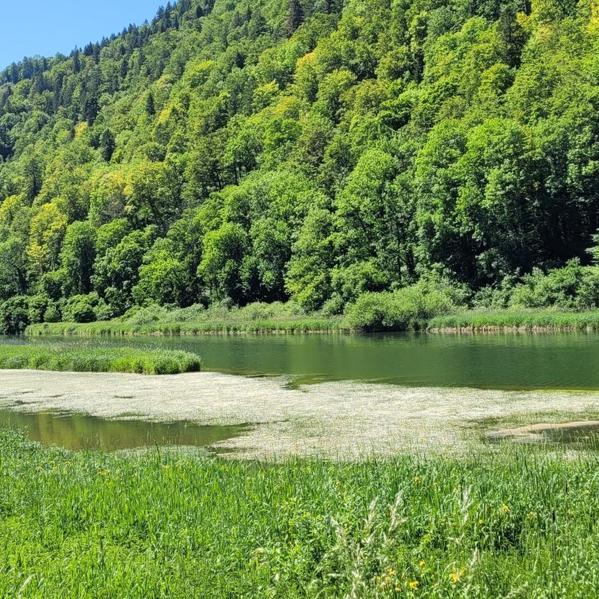
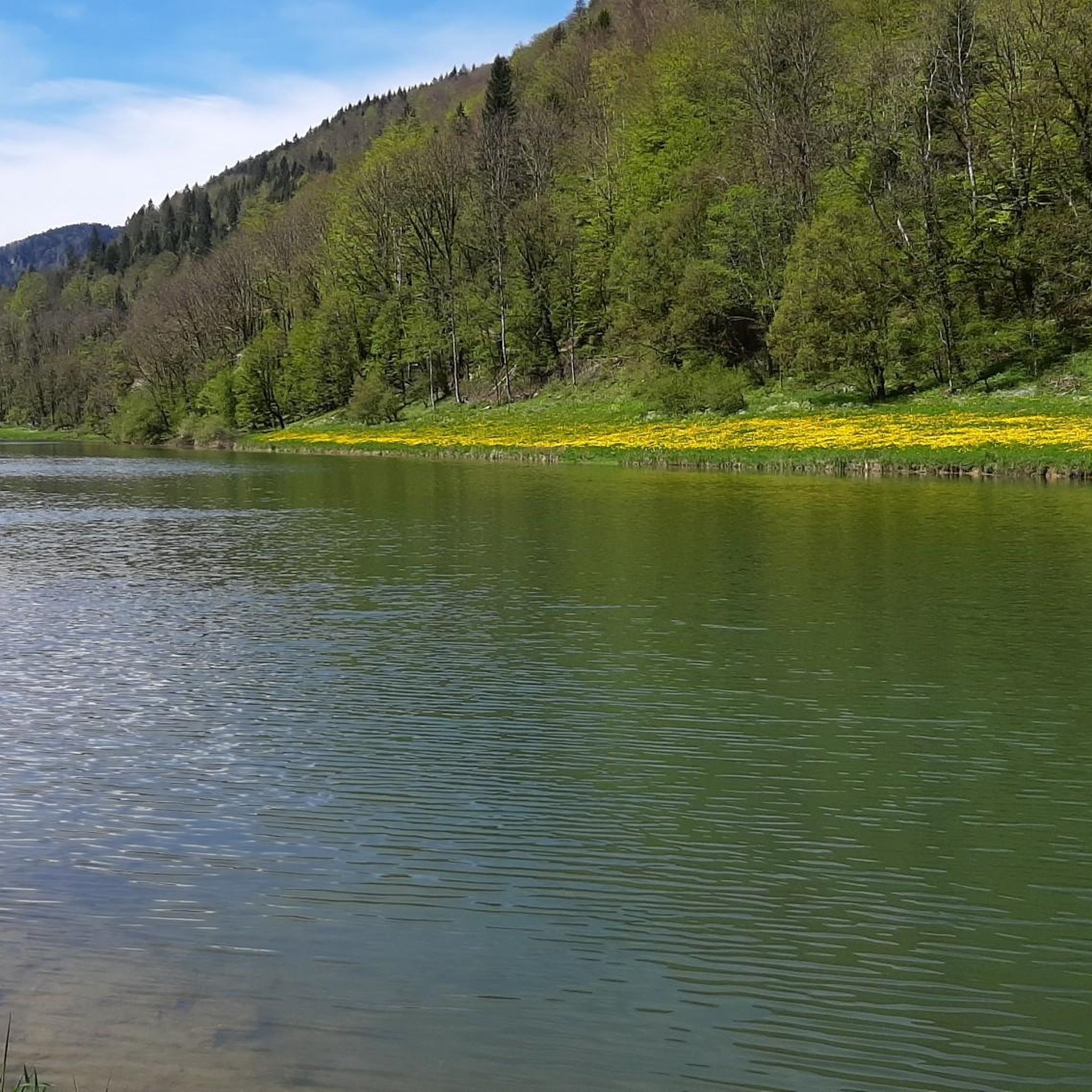
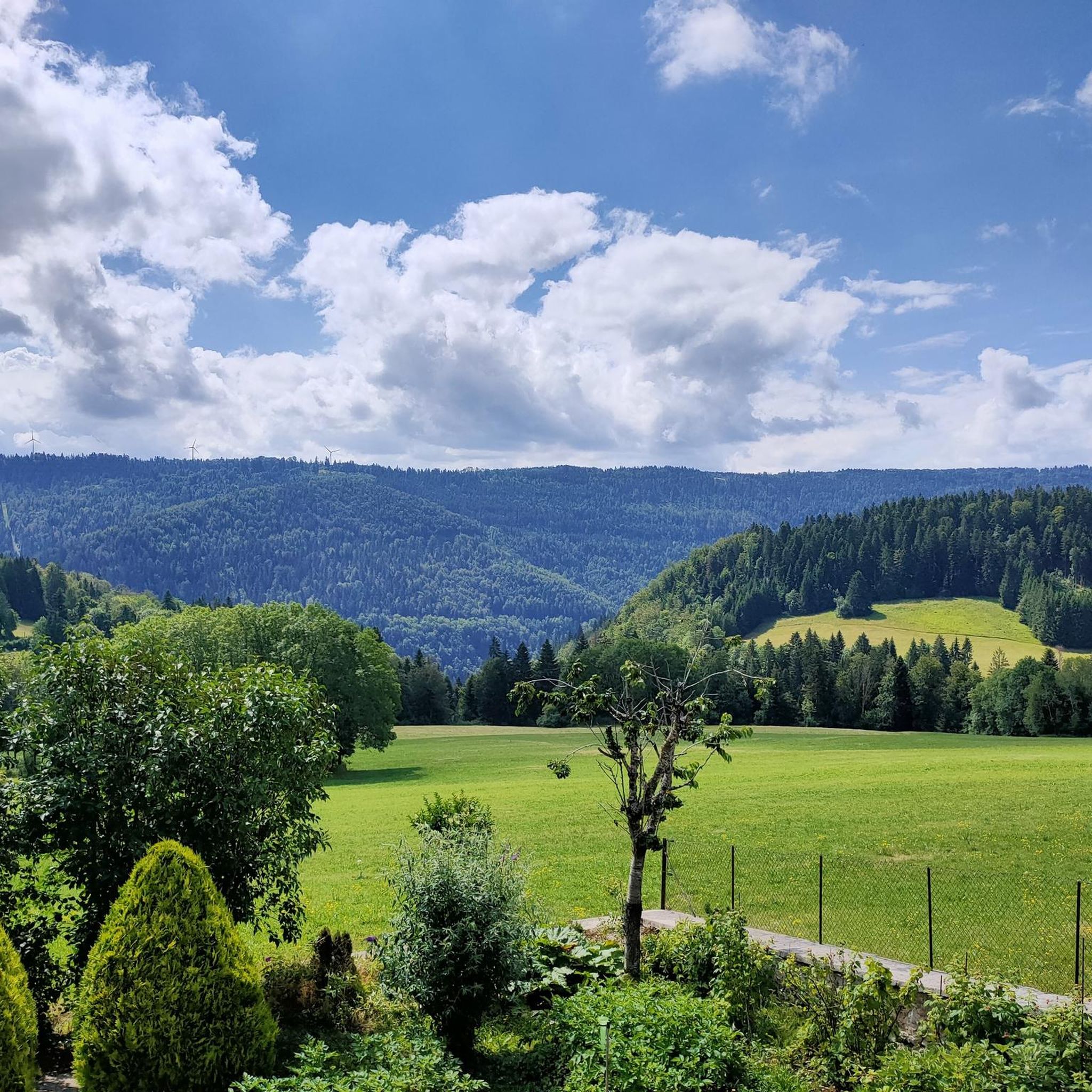
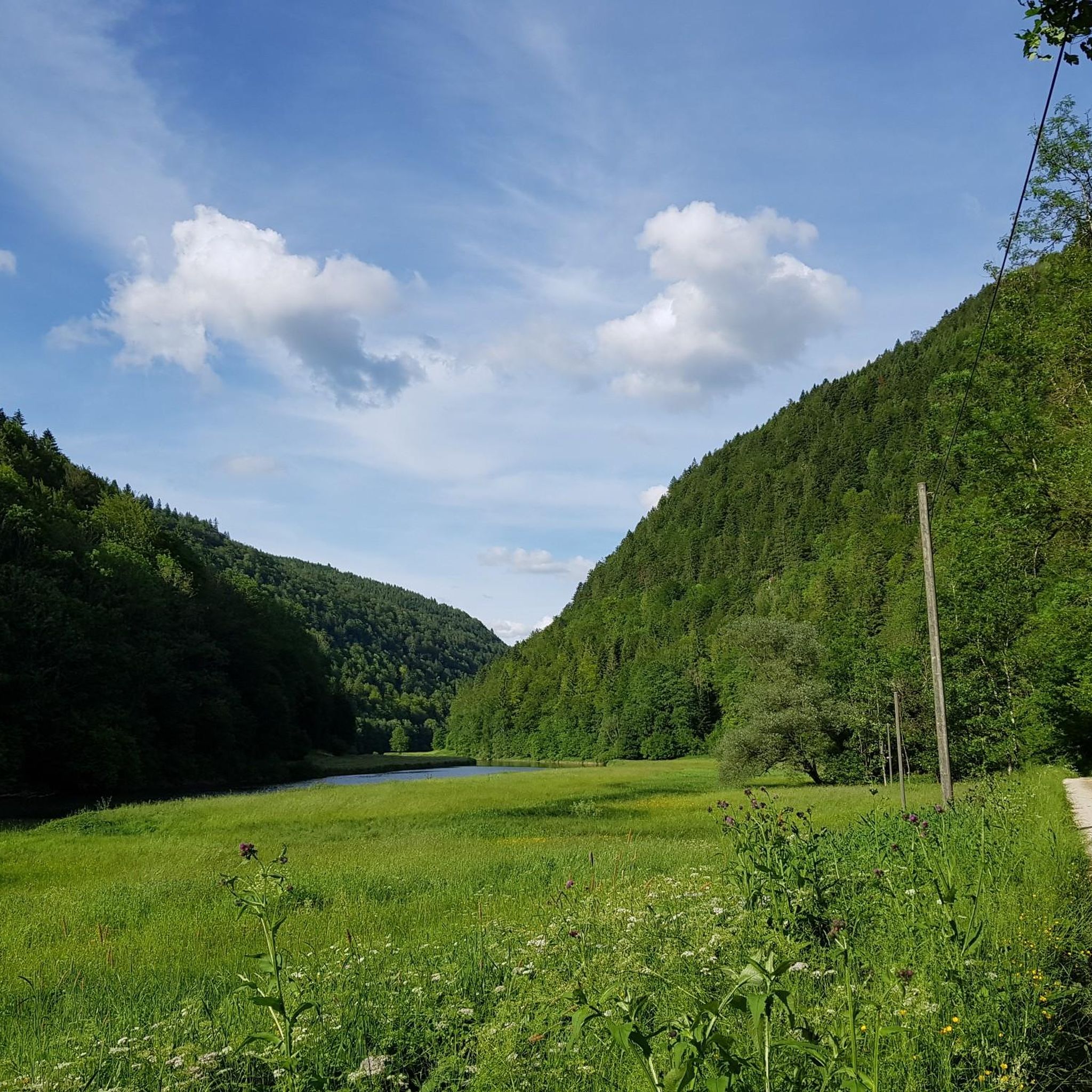
Jogging routes around Charmauvillers offer a diverse natural landscape for runners. The region is characterized by the Doubs River, which carves out impressive gorges and provides picturesque riverside paths. Situated within the Jura mountain range, the area features varied elevations, including wooded hills, cliffs, and plateaus. Extensive forests and green valleys provide shaded and refreshing running routes.
Best jogging routes around Charmauvillers
- The most popular jogging route is Arête des Sommêtres and Doubs River Loop, an 8.6 miles (13.9…
Last updated: May 27, 2026
25
runners
13.9km
02:10
600m
600m
Hard run. Very good fitness required. Sure-footedness, sturdy shoes and alpine experience required.
93
runners
11.0km
01:13
120m
120m
Moderate run. Good fitness required. Mostly paved surfaces. Suitable for all skill levels.

Sign up for free
64
runners
23.6km
03:17
920m
920m
Hard run. Very good fitness required. Mostly paved surfaces. Suitable for all skill levels.
16
runners
9.27km
00:58
80m
80m
Moderate run. Good fitness required. Mostly paved surfaces. Suitable for all skill levels.
14
runners
7.03km
00:44
60m
60m
Moderate run. Good fitness required. Mostly paved surfaces. Suitable for all skill levels.
Get access to more routes and recommendations from other explorers.
Sign up for free
Already have an account?
Our route recommendations are based on thousands of hikes, rides, and runs completed by other people on komoot.
Start today with a free account
Your next adventure awaits.
Login or Signup
Tips from the Community

Please note that most of the photos associated with the route are photos of the via ferrata and the names of the ladders themselves, which are very solid stairs and not rope bridges! It is perfectly feasible for hiking, even if the height can be disconcerting.
4
0

Everything is in good working order. A beautiful experience, thank you to whomever keeps this maintained and safe!
1
0

Take a short break here to enjoy the extraordinary views of the Doubs valley, France and part of the Franches-Montagnes.
0
0
Superb setting between river and mountain. The Doubs represents the border between Switzerland and France.
0
0
Beautiful forest path with magnificent views of the Doubs valley.
0
0

This 500 meters long via ferrata with a 100 meters positive difference in altitude takes place on the French-Swiss border, in the grandiose and vertiginous setting of the Doubs gorges which for a long time sheltered the smuggling activities between these two countries. Very playful and vertiginous with ladders, footbridges, a zip line, cable and Nepalese bridges, it is certainly one of the most beautiful and impressive via ferrata of the region. After a few minutes of walking on a path, the course begins in the beautiful vertical limestone cliff by a first ladder soon followed by a Nepalese bridge, a beam and a slightly overhanging dihedral. This is the most physical part of the route, and it precedes the first escape route that leads to the Cendrée lookout. The next section offers a short, slightly overhanging passage, then a Tibetan bridge made of logs and a 42-meter-long "3-strand" cable bridge, both of which test your balance. The itinerary continues across a ledge (second possible escape route), takes a descending ladder, crosses a new cable bridge ("2 strands" this time), then goes up vertically by exploiting the weaknesses of the wall. The ladder and the beam that follow announce the long 60 meter zip line that can be avoided via the third escape route (but that would be a shame!). A last beam and a steep and original rope ladder bring you to the end of the via ferrata. A safe path follows the cliff, passes by the belvedere where you can still admire the superb landscapes, then follows the route of the smugglers of yesteryear before bringing you back to the parking lot. (https://www.directmountain.com/en/activities/807-via-ferrata-charquemont/)
4
0

The damaged ladder was replaced with a new one and is accessible again.
3
0
Frequently Asked Questions
How many running routes are available in Charmauvillers?
Charmauvillers offers a wide selection of over 130 running routes. These routes cater to various preferences, from tranquil riverside paths to challenging mountainous trails, ensuring there's something for every runner.
Are there running routes suitable for beginners in Charmauvillers?
Yes, Charmauvillers has options for all skill levels. While many routes are moderate or difficult, there are at least 5 easy running routes available. These often follow flatter sections along the Doubs River or through gentle forest paths, providing a great starting point for new runners.
Can I find circular running routes in Charmauvillers?
Absolutely. Many of the running routes in Charmauvillers are designed as loops, allowing you to start and finish at the same point. For example, the Arête des Sommêtres and Doubs River Loop is a popular circular option, offering diverse scenery.
What natural attractions can I see while jogging in Charmauvillers?
The region is rich in natural beauty. While running, you might encounter impressive features like the Doubs River gorges, extensive forests, and various waterfalls. Notable attractions include the Bief Waterfall and the dramatic The Ladders of Death gorge. You can also find serene lakes such as Étang de la Gruère.
Are there any dog-friendly running trails in Charmauvillers?
Many of the natural trails and forest paths in Charmauvillers are suitable for running with dogs, provided they are kept under control. The extensive network of hiking trails, which double as running routes, generally welcomes well-behaved dogs. Always check local regulations for specific areas, especially within protected natural parks.
What do other runners say about the trails in Charmauvillers?
The running routes in Charmauvillers are highly rated by the komoot community, with an average score of 4.3 stars from over 30 reviews. Runners often praise the diverse natural landscape, the scenic riverside paths along the Doubs, and the varied terrain of the Jura mountains.
Are there any running routes that offer panoramic views?
Yes, several routes provide stunning panoramic views. The Arête des Sommêtres and Doubs River Loop is particularly noted for its breathtaking vistas over the Jura mountain range, the Doubs valley, the Vosges, and even the Black Forest. You can also find viewpoints like Viewpoint of La Ronde and the Doubs.
What kind of terrain can I expect on Charmauvillers' running routes?
Charmauvillers offers a highly varied terrain, characteristic of the Jura mountain range. You can expect a mix of riverside paths, wooded hills, cliffs, and plateaus. Routes range from relatively flat and serene experiences along the Doubs River to more challenging ascents and descents through forests and mountainous sections.
Are there family-friendly running options in Charmauvillers?
While many routes offer varied terrain, there are easier paths that families can enjoy together. Look for routes described as 'easy' or those that stick to the flatter riverside sections. These provide a great way for families to experience the natural beauty of Charmauvillers at a comfortable pace.
What are some longer, more challenging running routes in the area?
For those seeking a challenge, Charmauvillers offers several difficult routes. The Echelles del la mort – La Charbonnière du Haut loop from Damprichard is a demanding 14.8-mile trail through dramatic landscapes. Another option is the Moulin Jeannottat loop from Goumois, which covers over 12 miles with significant elevation changes.
What makes Charmauvillers a unique place for jogging?
Charmauvillers stands out due to its unique combination of the Doubs River's impressive gorges, the varied terrain of the Jura mountains, and extensive forests. This creates a diverse natural playground for runners, offering everything from tranquil riverside jogs to challenging mountain runs with stunning panoramic views and rich natural features like waterfalls and lakes.
Are there running routes along the Doubs River?
Yes, the Doubs River is a central feature of the region, and many running routes follow its picturesque banks. These riverside paths, such as sections of the Arête des Sommêtres and Doubs River Loop, offer a relatively flat and serene experience, often passing through the Doubs Regional National Park.
Most popular routes around Charmauvillers
Most popular attractions around Charmauvillers

Get inspired with the komoot mobile app


Explore more
Browse the best Running Trails & Routes in other regions.
