The best walks and hikes around Montlay-En-Auxois
4.5
(218)
1,064
hikers
73
hikes
Hiking around Montlay-En-Auxois offers diverse landscapes within the wooded hills of the Auxois region in Burgundy-Franche-Comté, France. The area is characterized by extensive forests, serene lakes like the Étang de Sainte-Isabelle, and varied terrain including valleys. Hikers can explore trails that wind through natural features and connect to nearby historical sites and charming villages.
Best hiking trails around Montlay-En-Auxois
- The most popular hiking route is Le château de Thil — loop from Précy-sous-Thil in the parc naturel régional du Morvan…
Last updated: July 6, 2026
4.6
(9)
21
hikers
Moderate hike. Good fitness required. Easily-accessible paths. Suitable for all skill levels.
4.8
(4)
34
hikers
12.7km
03:23
140m
140m
Moderate hike. Good fitness required. Easily-accessible paths. Suitable for all skill levels.

Sign up for free
4.9
(8)
31
hikers
6.02km
01:38
90m
90m
Easy hike. Great for any fitness level. Easily-accessible paths. Suitable for all skill levels.
3.2
(5)
10
hikers
7.14km
02:01
160m
160m
Moderate hike. Good fitness required. Easily-accessible paths. Suitable for all skill levels.
4.8
(5)
14
hikers
8.90km
02:24
120m
120m
Moderate hike. Good fitness required. Easily-accessible paths. Suitable for all skill levels.
Get access to more routes and recommendations from other explorers.
Sign up for free
Already have an account?
Our route recommendations are based on thousands of hikes, rides, and runs completed by other people on komoot.
Start today with a free account
Your next adventure awaits.
Login or Signup


Tips from the Community

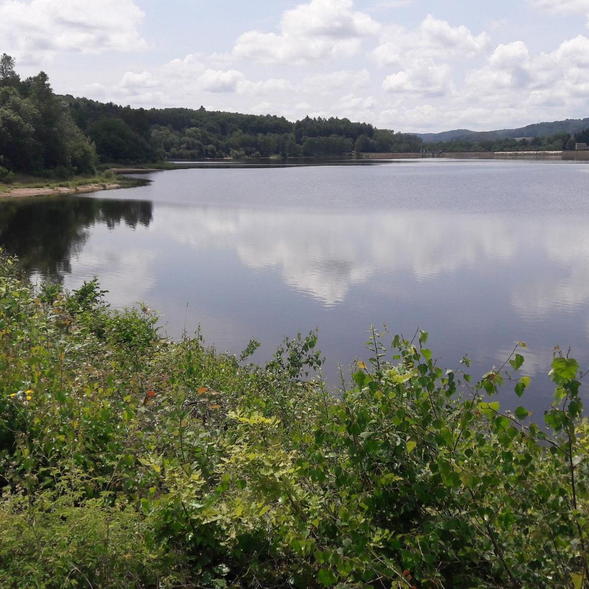
Picnic table, nice place to rest, eat a snack and have a drink with a view.
0
0
A nice easy walk around la Motte-Ternant. Not heavy.
0
0

Unfortunately the chateau is closed. Lt. Signage throughout 2023
0
0

Thil Castle is not open at the moment, but it is still a sight to enjoy while strolling around. Although in ruins, it remains impressive.
2
0

Frequently Asked Questions
How many hiking trails are available around Montlay-En-Auxois?
Montlay-En-Auxois offers a wide selection of outdoor adventures, with over 70 hiking trails to explore. These routes cater to various skill levels, from easy strolls to more challenging excursions through the region's diverse landscapes.
What kind of landscapes and natural features can I expect to see while hiking in this region?
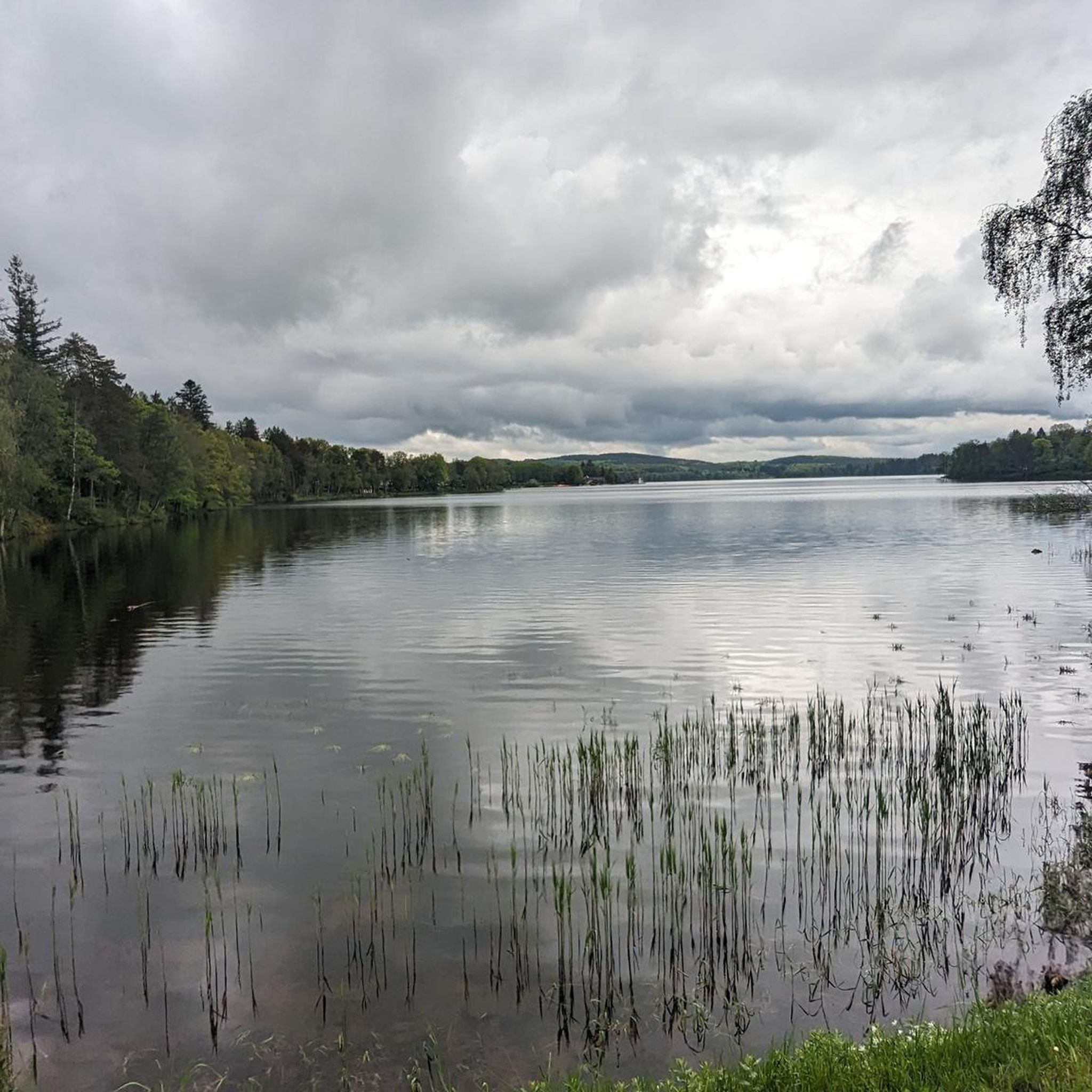
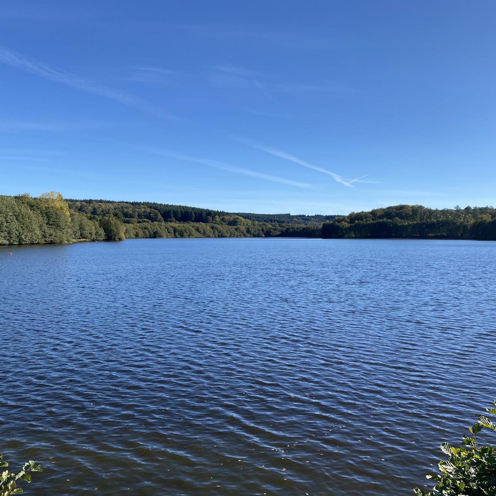
The area around Montlay-En-Auxois is characterized by its picturesque and varied landscapes. You'll hike through extensive wooded hills and forests, discover serene lakes such as the Étang de Sainte-Isabelle and the Grand Étang, and traverse charming valleys. The broader Auxois region also features vineyards, adding to the scenic diversity.
Are there any easy hiking trails suitable for families or beginners?
Yes, Montlay-En-Auxois is very welcoming for families and beginners, with 35 easy hiking trails available. One excellent option is the Picnic plaats loop from Étang de l'Argentalet, a 3.7-mile (6.0 km) trail that winds through wooded areas around the lake, typically completed in about 1 hour 40 minutes.
What are some notable landmarks or attractions I can visit near the hiking trails?
Beyond the natural beauty, the region offers several points of interest. You can explore historical remains in the woods of Eguilly or see the moats of an old castle at Bussière. Charming villages like Semur-en-Auxois, Flavigny, and Châteauneuf-en-Auxois are also nearby. For natural attractions, consider visiting Chamboux Lake or the Wooden boardwalk on Lake Saint-Agnan.
Are there any circular hiking routes in the Montlay-En-Auxois area?
Yes, many of the trails in Montlay-En-Auxois are circular, offering convenient starting and ending points. A popular circular route is Le château de Thil — loop from Précy-sous-Thil, an 8.5-mile (13.6 km) trail that provides views of the Château de Thil within the Morvan Regional Natural Park.
What do other hikers enjoy most about the trails in Montlay-En-Auxois?
The trails in Montlay-En-Auxois are highly regarded by the komoot community, with an average rating of 4.6 stars from over 190 reviews. Hikers frequently praise the quiet woodlands, the varied terrain, and the well-maintained paths that lead through both natural beauty and historical sites.
Is it possible to access hiking trails using public transport?
While Montlay-En-Auxois itself is a small village, public transport options in rural Burgundy can be limited. It is generally recommended to use a car to reach trailheads in the surrounding area, especially for routes further afield. However, some larger nearby towns may offer bus services that could connect you closer to certain starting points.
Are there any specific apps or resources to help plan hikes in the Terres d'Auxois region?
Yes, the Terres d'Auxois region is well-equipped for hikers. An excellent resource is the free "Balades en Bourgogne" application, which lists 153 walks across the Côte-d'Or department, including top trails in Terres d'Auxois. This app can be very helpful for planning and navigation.
What is the best time of year to go hiking around Montlay-En-Auxois?
The best time to hike in Montlay-En-Auxois is typically during spring (April to June) and autumn (September to October). During these seasons, the weather is mild, the landscapes are vibrant with spring blooms or autumn colors, and the trails are generally less crowded. Summer can also be pleasant, especially in the shaded wooded areas, but can be warmer.
Are there any trails that pass through agricultural landscapes or unique natural features?
Yes, the region's diverse terrain includes agricultural areas. The Blue Flax Fields loop from La Motte-Ternant is a moderate 7.9-mile (12.7 km) path that specifically leads through scenic agricultural landscapes, including beautiful blue flax fields, offering a unique visual experience.
Where can I find parking when starting a hike in Montlay-En-Auxois?
Parking availability varies depending on the specific trailhead. For many routes originating from villages or popular natural sites, you will typically find designated parking areas. It's advisable to check the route details on komoot or local signage for specific parking information at your chosen starting point.
Are there any longer, more challenging hikes for experienced hikers?
While the majority of trails are easy to moderate, there are a few more challenging options. The region offers 4 difficult trails for those seeking a greater challenge. These routes often feature more significant elevation changes and cover longer distances, providing a rewarding experience for seasoned hikers.
Most popular routes around Montlay-En-Auxois
Most popular attractions around Montlay-En-Auxois

Get inspired with the komoot mobile app


Explore more
Browse the best Hikes in other regions.
