The best walks and hikes around Versonnex
4.4
(1347)
11,298
hikers
439
hikes
Hiking around Versonnex offers a network of trails primarily characterized by its proximity to the Versoix River and surrounding woodlands. The terrain generally features gentle elevation changes, making many routes accessible. The region's landscape is composed of riverine paths and forested areas, providing varied natural settings for outdoor activities.
Best hiking trails around Versonnex
- The most popular hiking route is De Sauverny to Versoix — loop along the river and the woods, a 10.2 miles (16.5 km) trail that takes 4 hours 21 minutes to complete. This moderate route follows the river and passes through scenic wooded areas.
- Another top favourite among local hikers is Versoix River – Trail Along the Versoix River loop from Bois des Douves, an easy 4.3 miles (7.0 km) path. This trail offers pleasant views along the Versoix River.
- Local hikers also love the Versoix River – Trail Along the Versoix River loop from Versonnex, a 6.3 miles (10.1 km) trail leading through riverine landscapes, often completed in about 2 hours 37 minutes.
- Hiking around Versonnex is defined by river paths and dense woodlands. The network offers options for easy, moderate, and more challenging routes, catering to various ability levels.
- The routes in Versonnex are highly rated by the komoot community with an average score of 4.4 stars from over 1,200 reviews. More than 10,000 hikers have used komoot to explore Versonnex's varied terrain.
Last updated: July 5, 2026
4.5
(20)
58
hikers
16.5km
04:21
150m
150m
Moderate hike. Good fitness required. Mostly accessible paths. Sure-footedness required.
4.5
(11)
60
hikers
Easy hike. Great for any fitness level. Easily-accessible paths. Suitable for all skill levels.

Sign up for free
4.4
(7)
27
hikers
10.0km
02:36
60m
60m
Moderate hike. Good fitness required. Easily-accessible paths. Suitable for all skill levels.
4.4
(7)
24
hikers
9.61km
02:31
80m
80m
Moderate hike. Good fitness required. Easily-accessible paths. Suitable for all skill levels.
4.5
(6)
21
hikers
Easy hike. Great for any fitness level. Easily-accessible paths. Suitable for all skill levels.
Get access to more routes and recommendations from other explorers.
Sign up for free
Already have an account?
Our route recommendations are based on thousands of hikes, rides, and runs completed by other people on komoot.
Start today with a free account
Your next adventure awaits.
Login or Signup

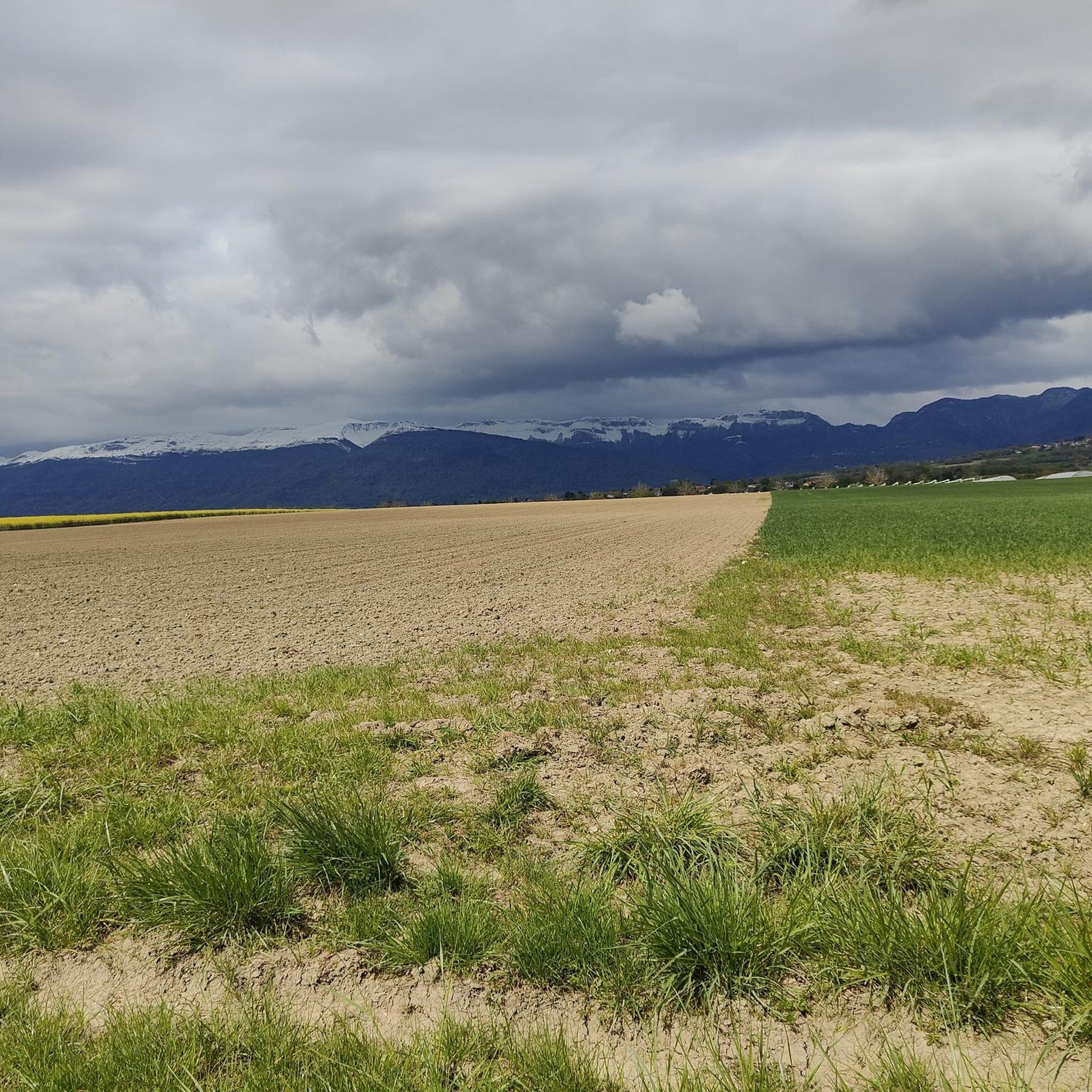
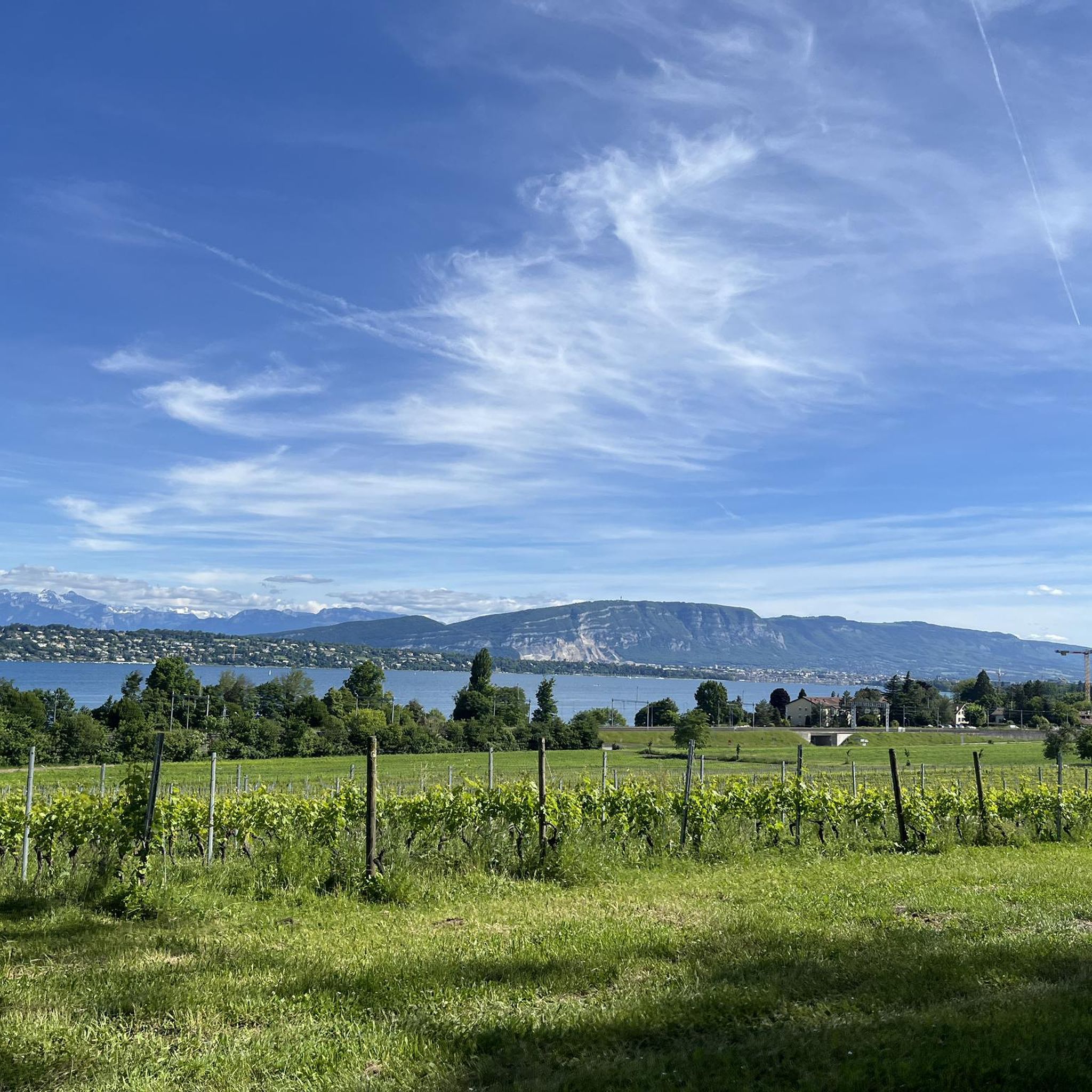

Other adventures around Versonnex

Tips from the Community

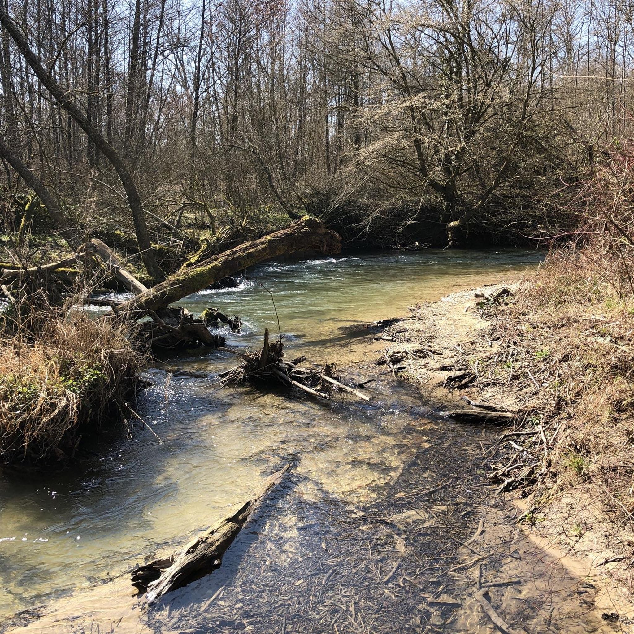
It's rare to find such beautiful, unspoiled rivers. There are alternating small waterfalls, wild spots, and quiet areas where the water accumulates. Fallen trees are welcome to stay. The path always follows the banks. Suitable footwear and a little surefootedness won't hurt.
0
0
A very beautiful path along the natural river. You can hear the rippling water. Quiet areas alternate with rapids and small waterfalls.
1
0

Enchanting single track trail along the Versoix. Expect to have to push the bike in places, the path is sometimes narrow or with roots.
0
0
Be careful in this area because there are tree roots directly on the path. You may have to get off the bike and push it, but not for long.
0
0
Along the magnificent meanders of the La Versoix river. Walk surrounded by green trees and a quiet environment. At this point you will find a garlic field (it is good to harvest it in spring or early summer).
0
0

Incredibly beautiful, clean and so natural stream landscape in the forest. A MUST for every connoisseur and nature freak. Please take care of this jewel...
0
0
The Versoix meanders through the woods in a romantic and playful way. A real gem, this area!
1
0

Findings of a prehistoric burial mound
0
0
Frequently Asked Questions
How many hiking trails are available around Versonnex?
Versonnex offers a wide selection of hiking opportunities, with over 430 routes available. These range from easy strolls along the river to more challenging paths through the woodlands, catering to various fitness levels.
Are there easy hiking trails suitable for beginners in Versonnex?
Yes, Versonnex has numerous easy trails perfect for beginners. For instance, the Versoix River – Trail Along the Versoix River loop from Bois des Douves is an easy 4.3-mile (7.0 km) path offering pleasant views along the river with minimal elevation changes.
What are the typical durations for hikes around Versonnex?
Hikes around Versonnex vary in duration. Shorter, easy routes like the Trail Along the Versoix River – Versoix River loop from La Bâtie Beauregard can be completed in under 2 hours. Longer, moderate trails such as the De Sauverny to Versoix — loop along the river and the woods might take around 4 hours 20 minutes.
Are hiking trailheads in Versonnex accessible by public transport?
Many trailheads in the Versonnex area, particularly those along the Versoix River, are often accessible via local bus services or are within walking distance from village centers. It's advisable to check local transport schedules for specific starting points.
Are there family-friendly hiking options in Versonnex?
Absolutely. The region's gentle terrain and riverine paths make it ideal for families. Many easy routes, often under 5 miles, provide a relaxed experience suitable for children. These trails typically feature flat sections and shaded areas, perfect for a family outing.
Can I bring my dog on the hiking trails in Versonnex?
Yes, dogs are generally welcome on the hiking trails around Versonnex. It's always recommended to keep your dog on a leash, especially in nature reserves or areas with livestock, and to clean up after them. The river paths are particularly popular for walks with canine companions.
What is the best time of year for hiking in Versonnex?
The best time for hiking in Versonnex is typically from spring through autumn (April to October). During these months, the weather is mild, and the natural scenery, from lush greenery to autumn colors, is at its most vibrant. Winter hiking is possible, but some paths may be muddy or icy.
Are there circular walks available around Versonnex?
Yes, circular walks are a prominent feature of the Versonnex hiking network. Many routes, like the Versoix River – Trail Along the Versoix River loop from Versonnex, are designed as loops, allowing hikers to start and finish at the same point without retracing their steps.
What can I see along the hiking trails around Versonnex?
Beyond the scenic Versoix River and dense woodlands, you can explore various natural landmarks. Highlights include views towards the Jura Mountains and nearby peaks such as Grand Montrond or Colomby de Gex Summit. Some trails also pass through charming local villages.
What do other hikers enjoy the most about hiking in Versonnex?
The area is highly rated by the komoot community, with an average score of 4.4 stars from over 1,200 reviews. Hikers often praise the tranquil riverine paths, the well-maintained trails through the woods, and the accessibility of routes for various skill levels.
Are there any mountain passes or higher viewpoints accessible from Versonnex?
While Versonnex itself is in a lower-lying area, trails in the broader region can lead to notable mountain passes and viewpoints. For example, the Col de la Faucille (1323 m) is a significant mountain pass in the nearby Jura Mountains, offering expansive views and more challenging hiking opportunities.
What kind of terrain can I expect on Versonnex hiking trails?
The terrain around Versonnex is primarily characterized by gentle elevation changes, making many routes accessible. You can expect well-trodden paths along the Versoix River, through shaded woodlands, and occasionally across open fields. The surfaces are generally natural, ranging from dirt paths to gravel tracks.
Most popular routes around Versonnex
Most popular attractions around Versonnex

Get inspired with the komoot mobile app


Explore more
Browse the best Hikes in other regions.
