The best walks and hikes around Corcelle-Mieslot
4.2
(185)
850
hikers
97
hikes
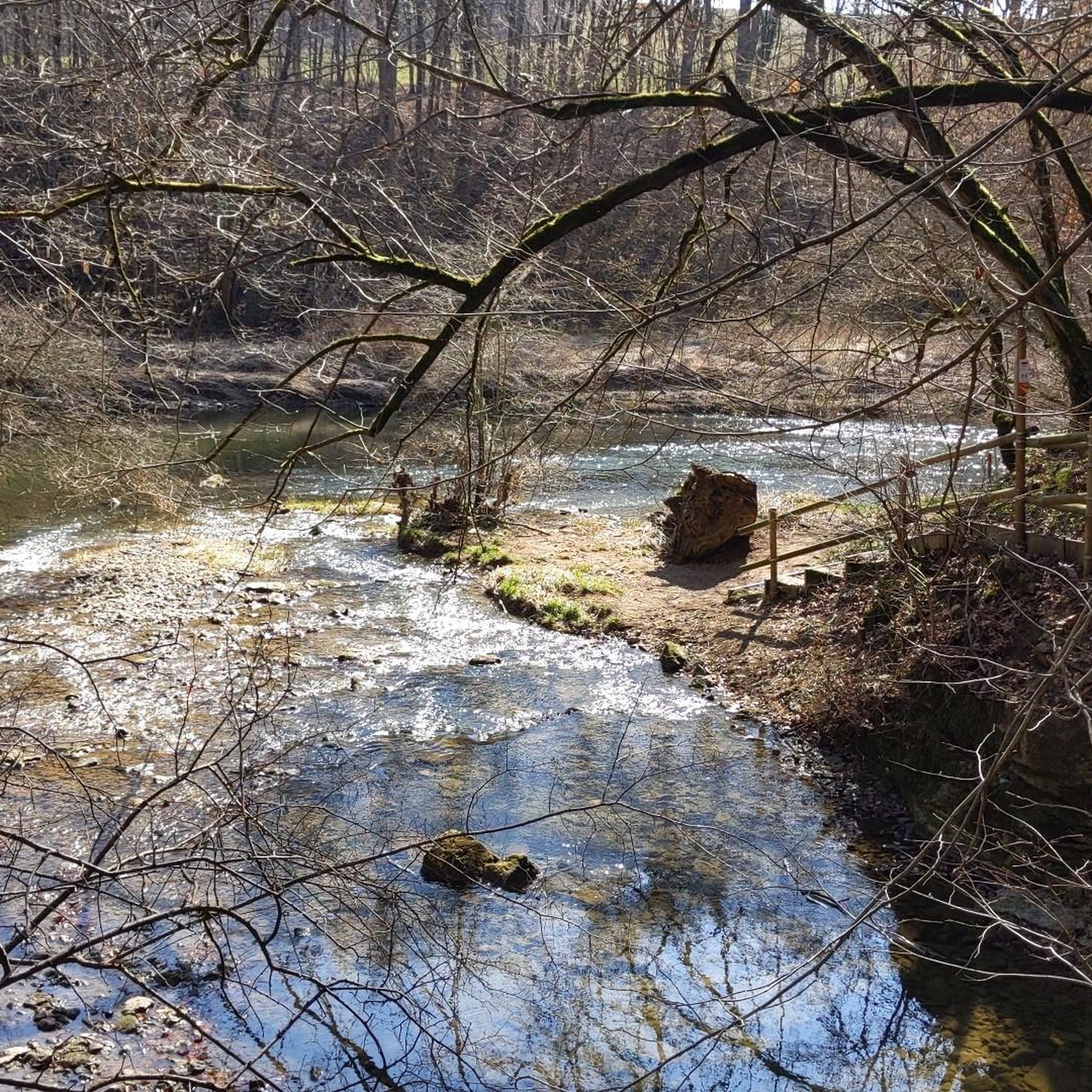
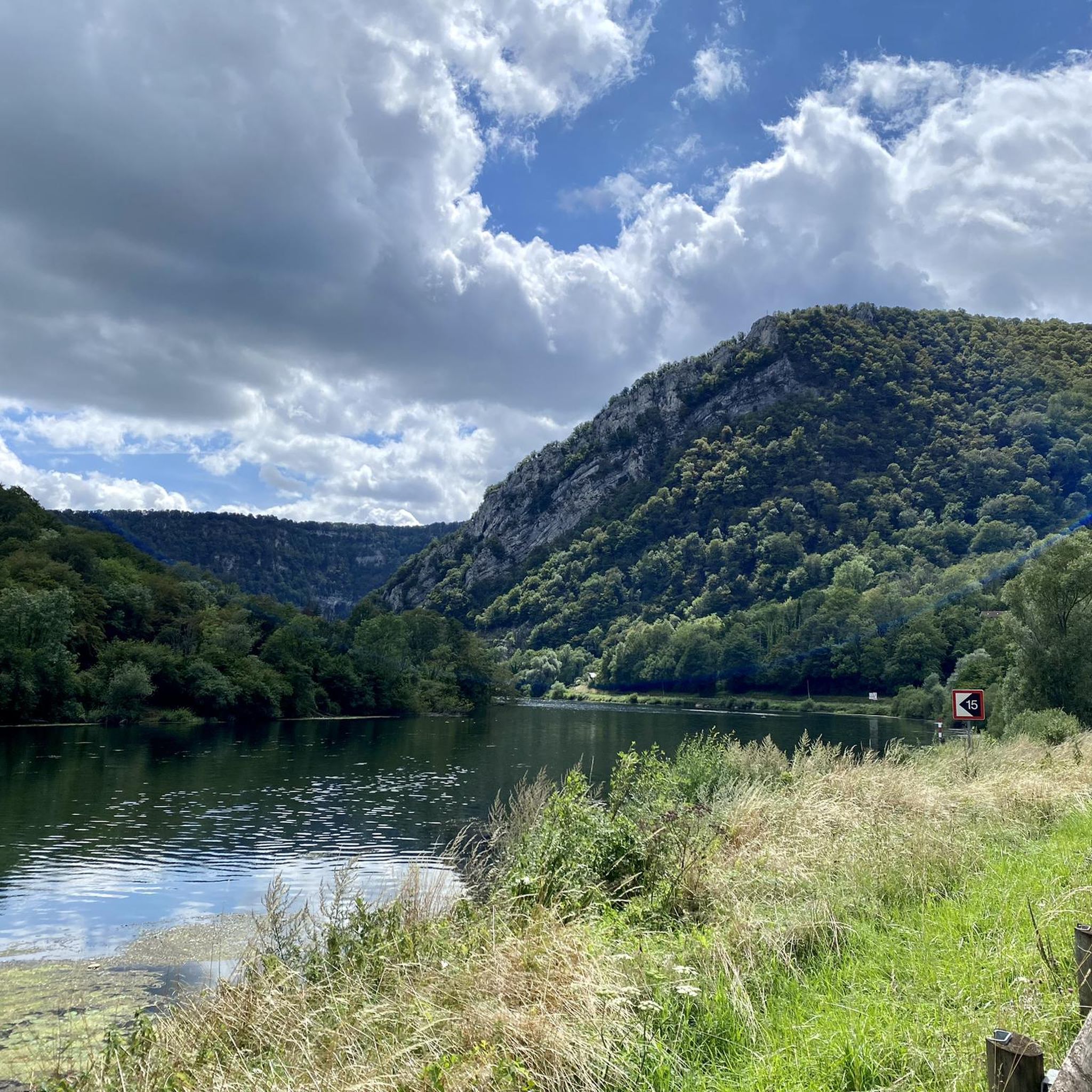
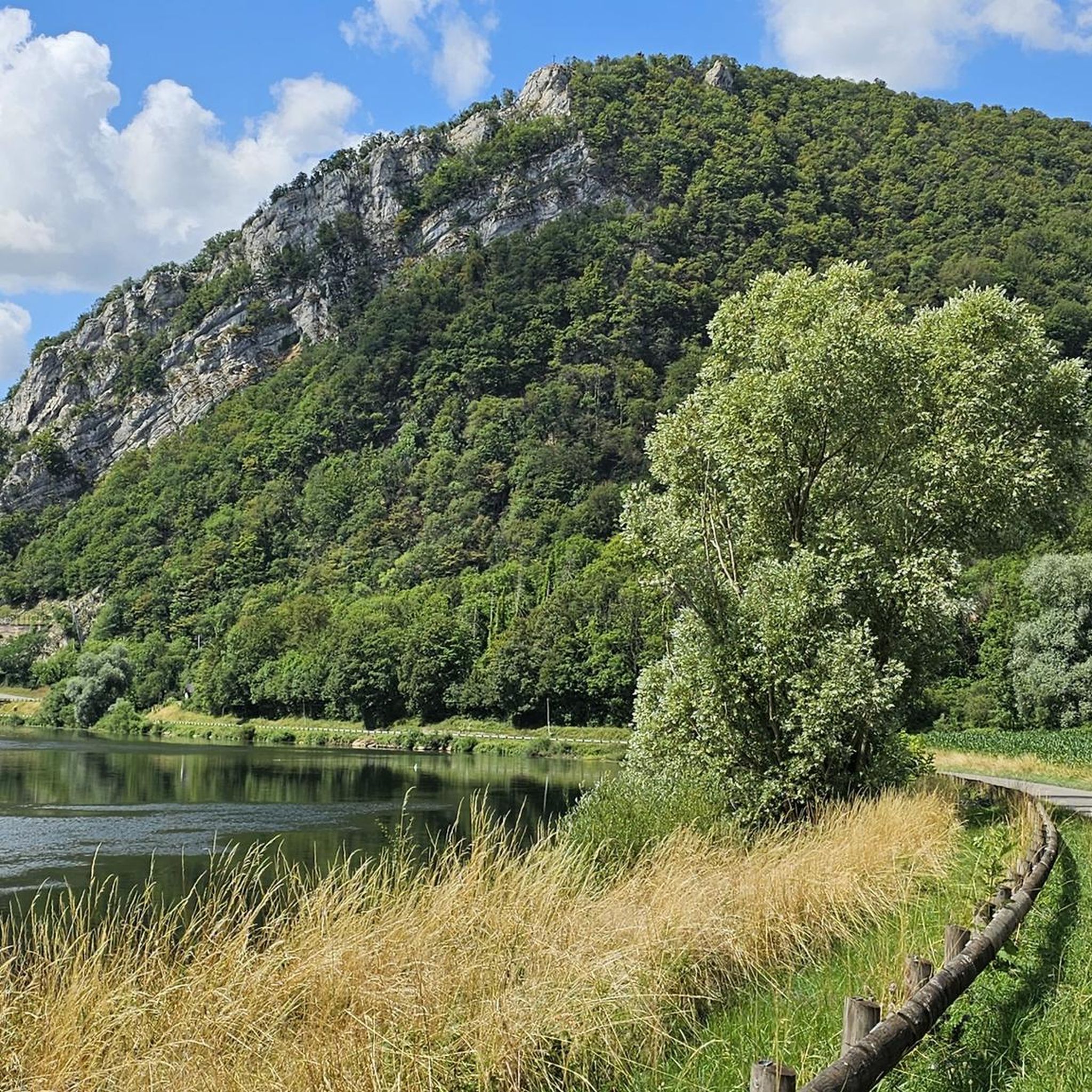
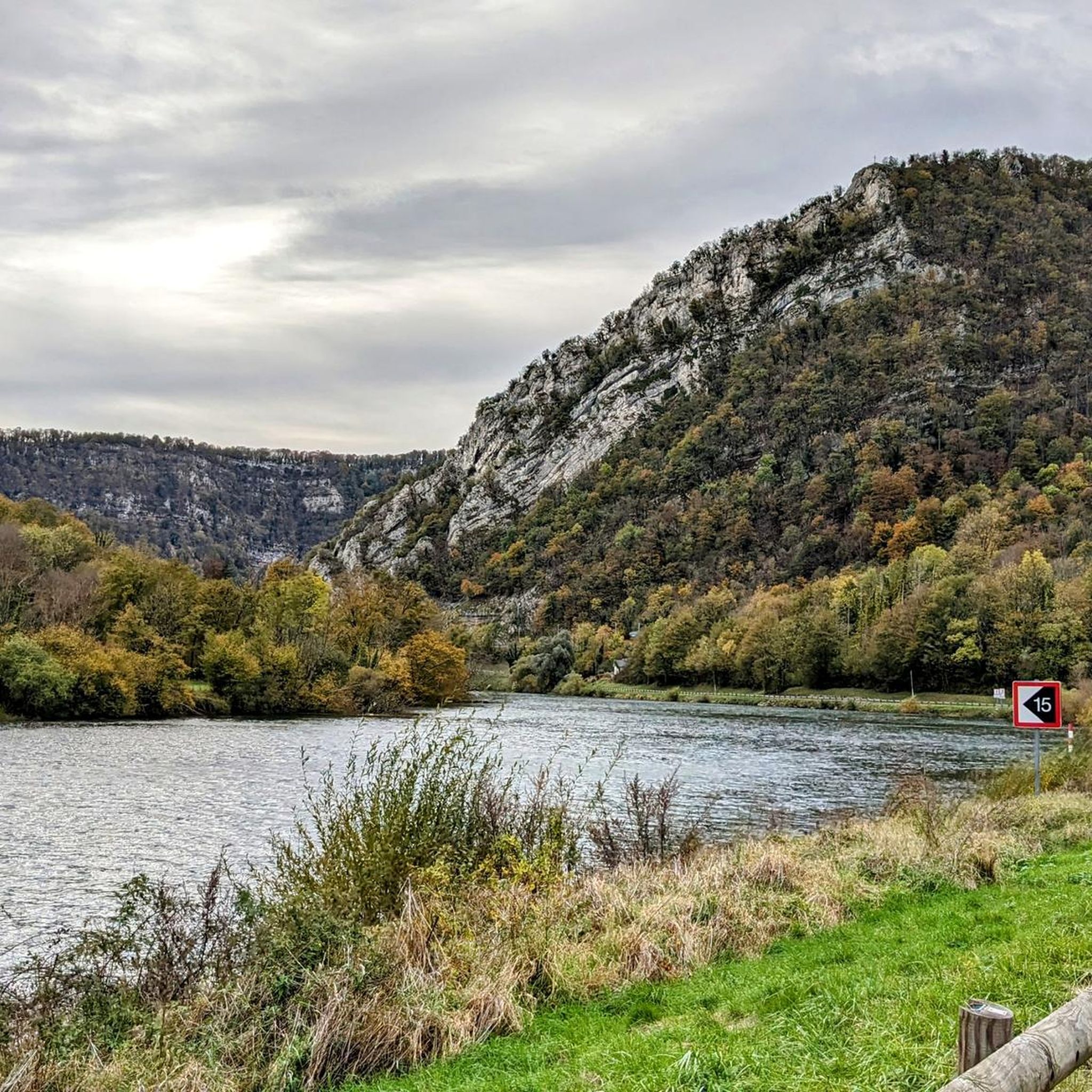
Hiking around Corcelle-Mieslot offers access to a network of trails through a landscape characterized by woodlands, open fields, and gentle hills. The region features varied terrain suitable for different activity levels, with elevations generally under 300 meters. Many routes incorporate historical points of interest and natural springs, providing diverse scenery for hikers.
Best hiking trails around Corcelle-Mieslot
- The most popular hiking route is The three fountains, an 8.3 miles (13.3 km) trail that takes 3 hours 30 minutes to…
Last updated: July 6, 2026
4.0
(3)
9
hikers
13.3km
03:30
130m
130m
Moderate hike. Good fitness required. Easily-accessible paths. Suitable for all skill levels.
3.6
(11)
22
hikers
11.8km
03:05
90m
90m
Moderate hike. Good fitness required. Easily-accessible paths. Suitable for all skill levels.

Sign up for free
5.0
(1)
8
hikers
9.60km
02:52
290m
280m
Moderate hike. Good fitness required. Easily-accessible paths. Suitable for all skill levels.
5.0
(1)
14
hikers
2.58km
00:54
160m
160m
Easy hike. Great for any fitness level. Easily-accessible paths. Suitable for all skill levels.
3.0
(2)
9
hikers
10.2km
02:48
170m
170m
Moderate hike. Good fitness required. Easily-accessible paths. Suitable for all skill levels.
Get access to more routes and recommendations from other explorers.
Sign up for free
Already have an account?
Our route recommendations are based on thousands of hikes, rides, and runs completed by other people on komoot.
Start today with a free account
Your next adventure awaits.
Login or Signup

Tips from the Community

In Valleroy, in the Doubs department, the Rosemont fountain is an old watering hole located on the edge of the forest. It once supplied water to the village and served both livestock and residents. Surrounded by carved stones and a watering trough, it remains visible on the trails.
0
0
Thurey-le-Mont is nestled in the wooded hills north of Besançon. Its washhouse, built in the 19th century, is fed by a spring and served the village's domestic needs. It still has its stone walls and slate roof.
1
0

Neoclassical, it was built in 1839 and contrasts with the Franche-Comté style with its atypical four-sided roof.
1
0
Built in the 18th century, it belonged to Marshal of the Empire Bon-Adrien Jeannot de Moncey.
0
0

Once you have climbed to the top of the tower in the woods, you will have a panoramic view of the village of La Tour de Scay and its surroundings.
0
0
Frequently Asked Questions
How many hiking trails are available around Corcelle-Mieslot?
There are over 70 hiking routes available around Corcelle-Mieslot, offering a wide range of options for different skill levels. You'll find 23 easy routes, 44 moderate routes, and 12 more challenging trails.
What kind of terrain can I expect on hikes in Corcelle-Mieslot?
The terrain around Corcelle-Mieslot is characterized by woodlands, open fields, and gentle hills. Elevations are generally under 300 meters, making for accessible and varied scenery.
Are there any easy hiking options suitable for beginners in Corcelle-Mieslot?
Yes, Corcelle-Mieslot offers 23 easy hiking routes. A good option for beginners is The Tower of the Woods loop from Rignosot, which is 2.5 km long and features gentle ascents.
Are there any circular hiking routes in Corcelle-Mieslot?
Many routes in the area are circular. For example, the popular Moncey Castle loop from Thurey-le-Mont is a moderate 11.8 km circular path that includes historical landmarks.
What are some interesting natural features to see while hiking in Corcelle-Mieslot?
Many routes incorporate natural springs, such as The three fountains trail. The region's landscape also features diverse woodlands and open countryside.
What historical sites can be explored on hikes around Corcelle-Mieslot?
Several trails lead past historical points of interest. The Moncey Castle loop from Thurey-le-Mont offers views of historical landmarks. You can also explore highlights like the Deluz Lock or the Fort de la Dame Blanche.
What do other hikers say about the trails in Corcelle-Mieslot?
The routes in Corcelle-Mieslot are highly rated by the komoot community, with an average score of 4.2 stars from over 160 reviews. Hikers often praise the varied scenery, including quiet woodlands and historical sites.
Are there any viewpoints or scenic spots along the trails?
Yes, the region offers scenic spots. For panoramic views, consider visiting the Saut de Gamache Viewpoint, which can be incorporated into longer hikes.
What is the typical duration for a moderate hike in Corcelle-Mieslot?
Moderate hikes in Corcelle-Mieslot typically range from 2 hours 45 minutes to 3 hours 30 minutes. For instance, the La Tour des Bois loop from Rignosot takes about 2 hours 45 minutes to complete.
Can I find trails that follow waterways in Corcelle-Mieslot?
Yes, you can find trails that follow waterways. The Doubs River and the Towpath of the Rhine-Rhône Canal offer pleasant routes alongside water.
Are there any longer, more challenging hikes available?
While the region is known for gentle hills, there are 12 difficult routes for those seeking more of a challenge. These routes often feature more significant elevation changes within the overall under 300-meter elevation profile.
Most popular routes around Corcelle-Mieslot
Most popular attractions around Corcelle-Mieslot

Get inspired with the komoot mobile app


Explore more
Browse the best Hikes in other regions.
