The best walks and hikes around Vic-Sous-Thil
4.5
(159)
938
hikers
79
hikes
Hiking around Vic-Sous-Thil offers diverse landscapes at the gateway to the Auxois region and the Morvan Regional Natural Park. The area features the elevated Butte de Thil, reaching 480 meters, providing panoramic views. Terrain includes a mix of prairies, forests, and arable land, with the River Serein flowing through the village. The elevation ranges from 318 to 493 meters, indicating varied terrain for different hiking levels.
Best hiking trails around Vic-Sous-Thil
- The most popular hiking route is Le château de…
Last updated: May 21, 2026
4.6
(9)
21
hikers
Moderate hike. Good fitness required. Easily-accessible paths. Suitable for all skill levels.
4.8
(10)
38
hikers
7.56km
02:01
80m
80m
Moderate hike. Good fitness required. Easily-accessible paths. Suitable for all skill levels.

Sign up for free
4.8
(4)
34
hikers
12.7km
03:23
140m
140m
Moderate hike. Good fitness required. Easily-accessible paths. Suitable for all skill levels.
4.5
(4)
10
hikers
11.6km
03:04
120m
120m
Moderate hike. Good fitness required. Easily-accessible paths. Suitable for all skill levels.
4
hikers
6.33km
01:48
140m
140m
Easy hike. Great for any fitness level. Easily-accessible paths. Suitable for all skill levels.
Get access to more routes and recommendations from other explorers.
Sign up for free
Already have an account?
Our route recommendations are based on thousands of hikes, rides, and runs completed by other people on komoot.
Start today with a free account
Your next adventure awaits.
Login or Signup

Tips from the Community

A nice easy walk around la Motte-Ternant. Not heavy.
0
0

Unfortunately the chateau is closed. Lt. Signage throughout 2023
0
0

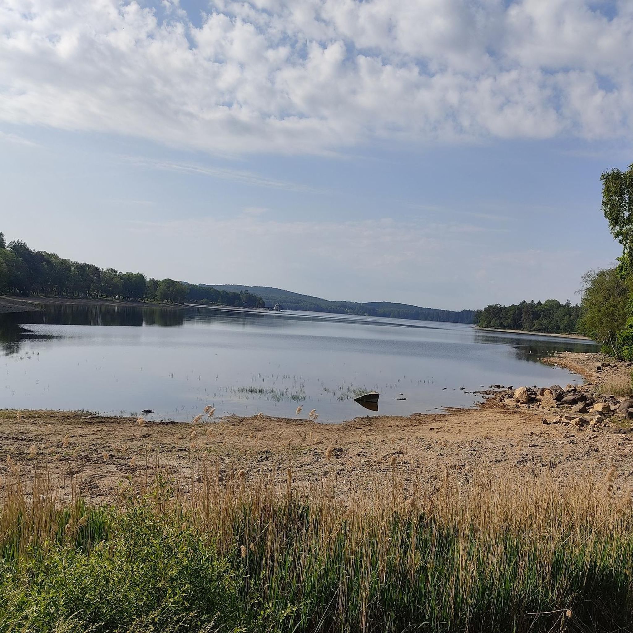
Thil Castle is not open at the moment, but it is still a sight to enjoy while strolling around. Although in ruins, it remains impressive.
2
0

Frequently Asked Questions
How many hiking trails are available around Vic-Sous-Thil?
There are over 80 hiking routes available around Vic-Sous-Thil. These trails offer a variety of experiences, from easy strolls to more challenging hikes, exploring the diverse landscapes of the Auxois region and the Morvan Regional Natural Park.
What kind of terrain can I expect on hikes near Vic-Sous-Thil?
The terrain around Vic-Sous-Thil is quite varied. You'll find a mix of prairies, forests, and arable land. The area is characterized by the rolling Auxois hills and the more rugged, forested landscapes of the Morvan Regional Natural Park. The elevation ranges from 318 to 493 meters, with the prominent Butte de Thil offering significant climbs and descents.
Are there easy hiking routes suitable for beginners in Vic-Sous-Thil?
Yes, Vic-Sous-Thil offers a good selection of easy routes. There are 34 trails classified as easy, perfect for beginners or those looking for a relaxed walk. An example is the View of Butte de Thil – Thil Castle loop from Nan-sous-Thil, which is 3.9 miles (6.3 km) and considered easy.
What historical landmarks can I discover while hiking near Vic-Sous-Thil?
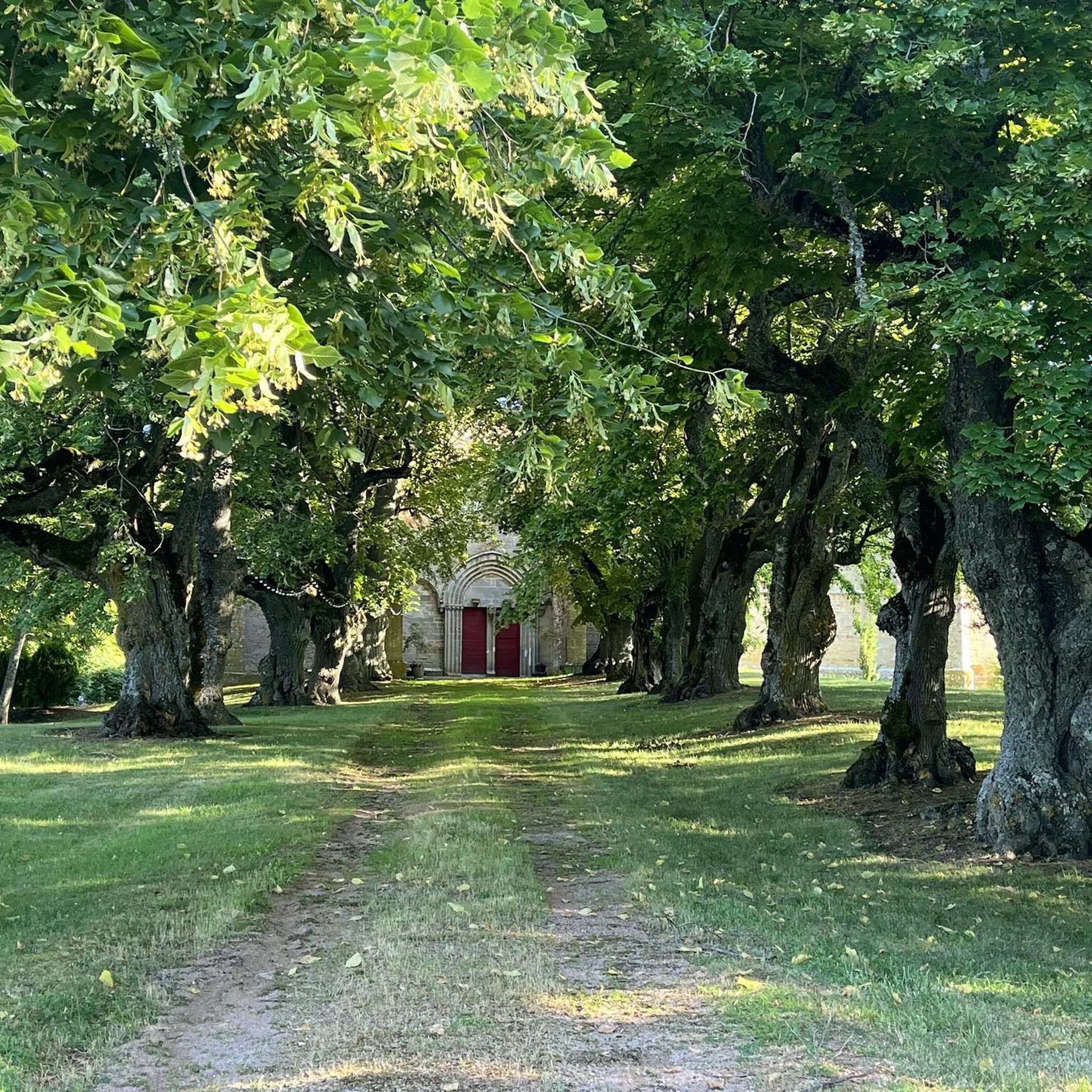
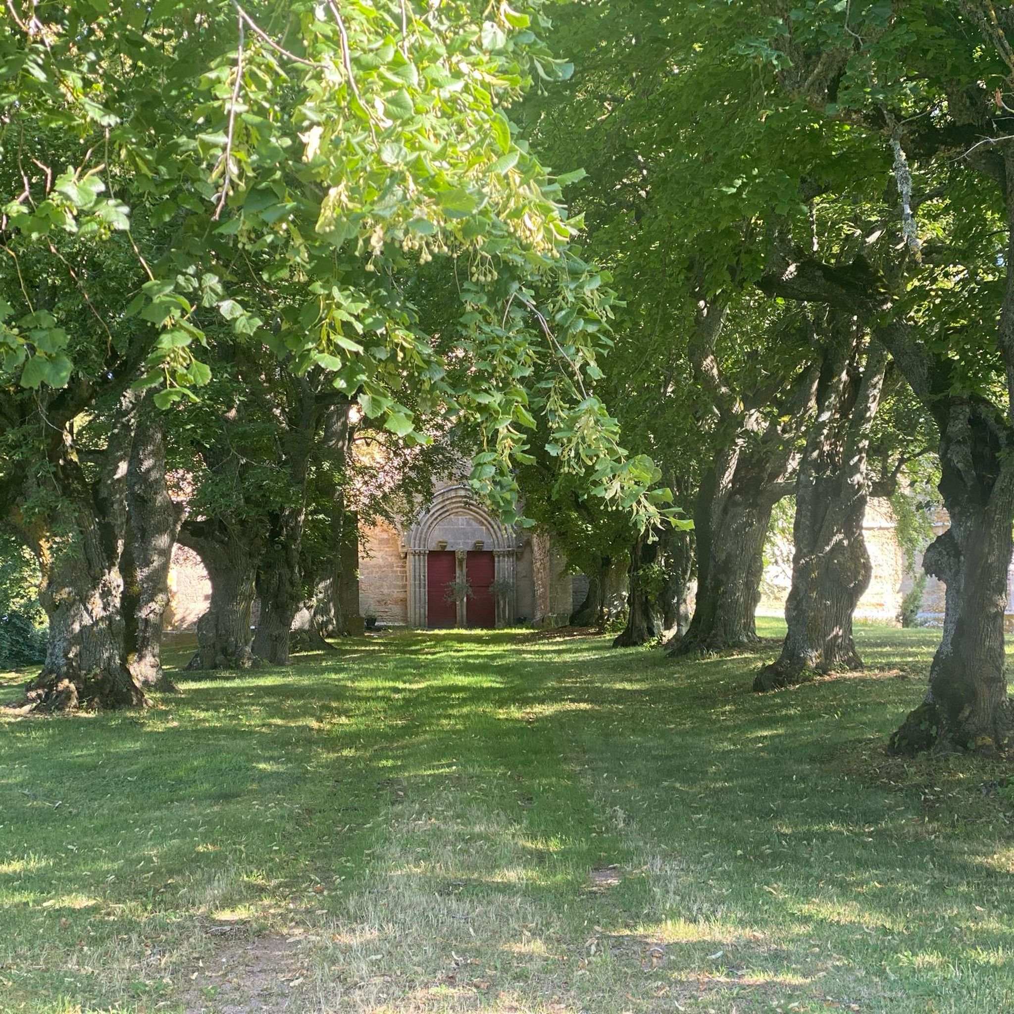
Many trails lead to or pass by significant historical sites. The most notable is the Butte de Thil, where you can explore the ruins of the medieval Château de Thil and the 14th-century Collegiate Church. These are connected by an alley of ancient lime trees. Further afield, you might consider visiting the Maison du Canal de Bourgogne or the Basilica of Saint Andoche in Saulieu.
Are there any trails that offer panoramic views?
Absolutely. The most prominent viewpoint is from the summit of the Butte de Thil, which reaches 480 meters. From here, you can enjoy expansive panoramic views of the surrounding Auxois territory, including the valleys of the Armançon and the Serein. The View of Butte de Thil – Thil Castle loop from Nan-sous-Thil is a great option to experience these vistas.
Are dogs allowed on the hiking trails around Vic-Sous-Thil?
Generally, dogs are welcome on trails in the Vic-Sous-Thil area, especially in the natural landscapes of the Auxois and Morvan. However, it's always recommended to keep them on a leash, particularly when passing through agricultural areas, near livestock, or in protected natural zones to ensure the safety of your pet and local wildlife.
Are there circular hiking routes around Vic-Sous-Thil?
Yes, many of the trails around Vic-Sous-Thil are designed as circular routes, allowing you to start and end at the same point. For instance, the Le château de Thil — loop from Précy-sous-Thil is a popular circular option, as is the Washhouse – Old Forges of the Serein loop from Précy-sous-Thil.
What is the best time of year to go hiking in Vic-Sous-Thil?
The best time for hiking in Vic-Sous-Thil is typically during spring (April to June) and autumn (September to October). During these seasons, the weather is generally mild and pleasant, and the landscapes are particularly beautiful with blooming flowers or vibrant fall foliage. Summer can also be enjoyable, but it's advisable to start early to avoid the midday heat.
Is there parking available at the trailheads in Vic-Sous-Thil?
Parking is generally available in or near the villages that serve as starting points for hikes, such as Vic-Sous-Thil, Précy-sous-Thil, or Nan-sous-Thil. Specific parking information for individual trailheads can often be found in the route descriptions on komoot.
What do other hikers say about the trails in Vic-Sous-Thil?
The hiking experience in Vic-Sous-Thil is highly rated by the komoot community, with an average score of 4.6 stars from over 170 reviews. Hikers often praise the diverse landscapes, the historical sites like the Château de Thil, and the well-maintained network of trails that cater to various fitness levels.
Are there any family-friendly hiking options in the area?
Yes, Vic-Sous-Thil offers several family-friendly hiking options. Many of the 34 easy routes are suitable for families with children, providing gentle terrain and shorter distances. These trails often pass through charming villages or offer interesting natural features to keep younger hikers engaged.
Can I find accommodation or places to eat near the hiking trails?
Yes, the villages around Vic-Sous-Thil, such as Précy-sous-Thil and Nan-sous-Thil, offer options for accommodation and dining. For a wider selection, the nearby town of Saulieu provides more choices for cafes, pubs, and restaurants, as well as various types of lodging.
Are there any challenging hikes for experienced trekkers?
While the majority of trails are easy to moderate, there are a few more challenging options for experienced trekkers. The guide lists 2 difficult routes. These trails typically feature greater elevation changes and longer distances, often venturing deeper into the more rugged parts of the Morvan Regional Natural Park.
Most popular attractions around Vic-Sous-Thil

Get inspired with the komoot mobile app


Explore more
Browse the best Hikes in other regions.
