The best walks and hikes around Montfort-Sur-Meu
4.5
(582)
3,972
hikers
37
hikes
Hiking around Montfort-Sur-Meu offers diverse natural landscapes, characterized by the confluence of the Meu and Garun rivers and extensive woodlands. The region serves as a gateway to the legendary Brocéliande Forest, providing a blend of natural beauty and historical intrigue. The terrain features gentle river valleys, protected natural sites like the Canut Valley, and the Montfort Forest, which includes the communal Saint-Lazare woods. These sites naturels Montfort-sur-Meu provide varied relief for hikers.
Best hiking trails around Montfort-Sur-Meu
- The most popular…
Last updated: September 1, 2026
4.4
(7)
34
hikers
10.9km
02:55
120m
120m
Moderate hike. Good fitness required. Easily-accessible paths. Suitable for all skill levels.
4.8
(9)
42
hikers
Easy hike. Great for any fitness level. Easily-accessible paths. Suitable for all skill levels.

Sign up for free
4.3
(3)
16
hikers
4.39km
01:11
50m
50m
Easy hike. Great for any fitness level. Easily-accessible paths. Suitable for all skill levels.
5.0
(1)
12
hikers
2.30km
00:36
20m
20m
Easy hike. Great for any fitness level. Easily-accessible paths. Suitable for all skill levels.
4.0
(1)
11
hikers
11.1km
03:00
150m
150m
Moderate hike. Good fitness required. Easily-accessible paths. Suitable for all skill levels.
Get access to more routes and recommendations from other explorers.
Sign up for free
Already have an account?
Our route recommendations are based on thousands of hikes, rides, and runs completed by other people on komoot.
Start today with a free account
Your next adventure awaits.
Login or Signup
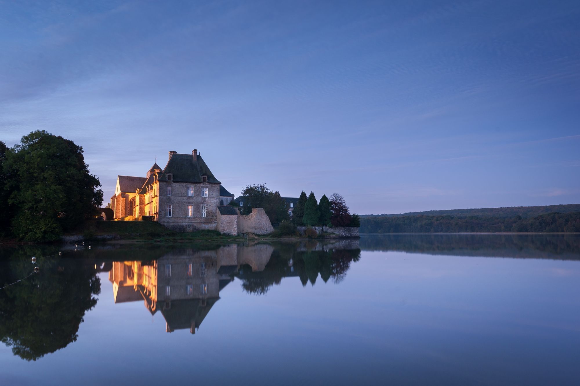
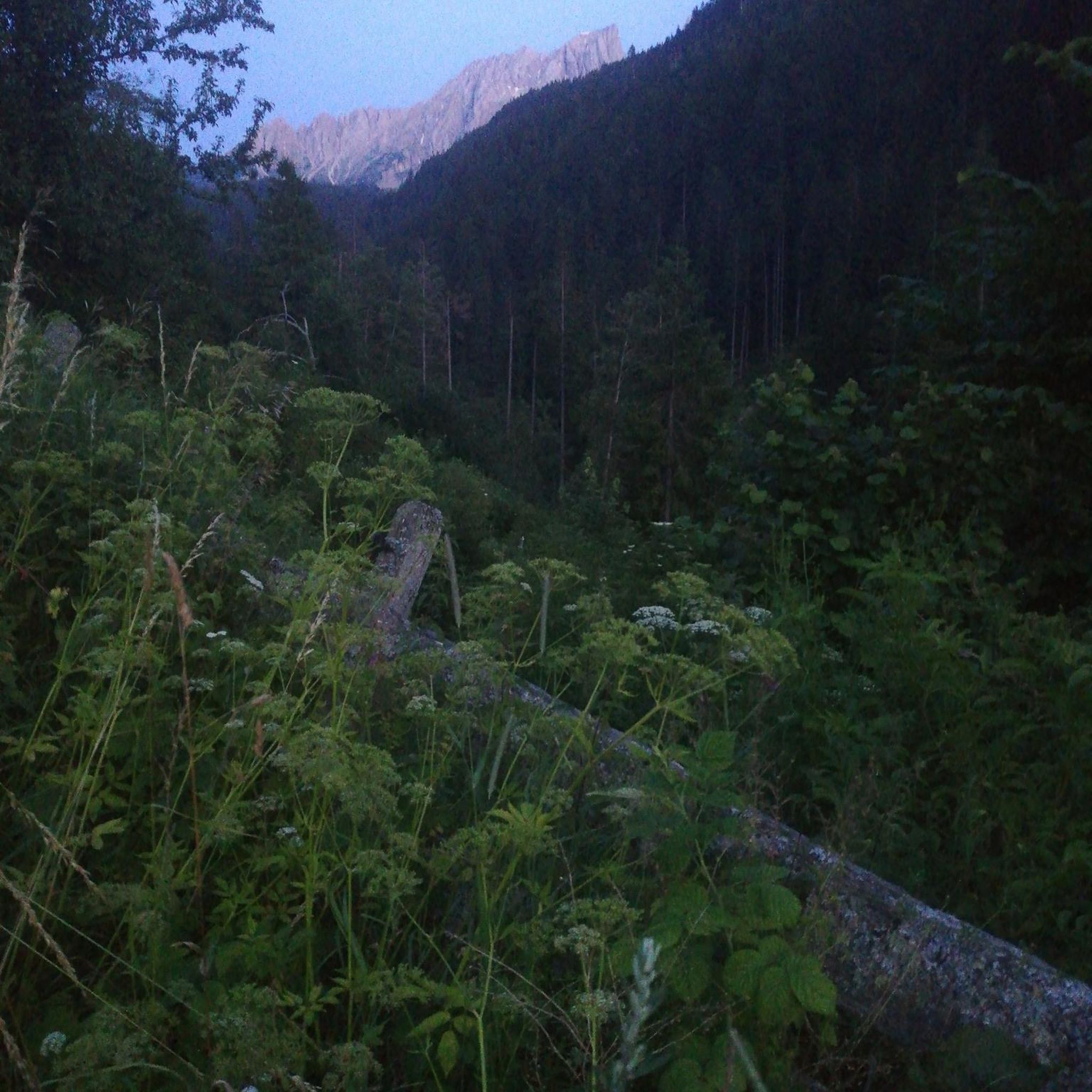
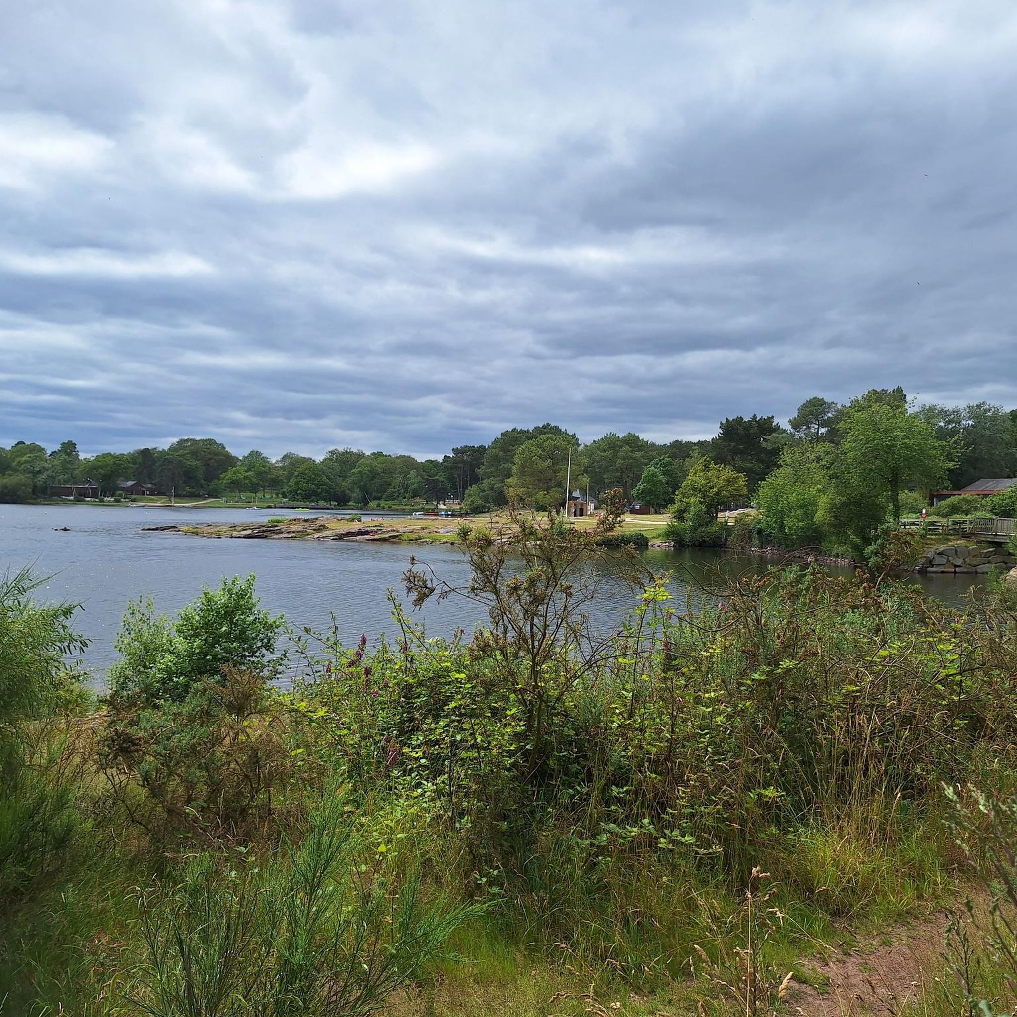

Other adventures around Montfort-Sur-Meu

Tips from the Community

The Papegault tower, from the end of the 14th century, is the best preserved and most representative element of the ancient medieval town of Montfort-sur-Meu.
0
0

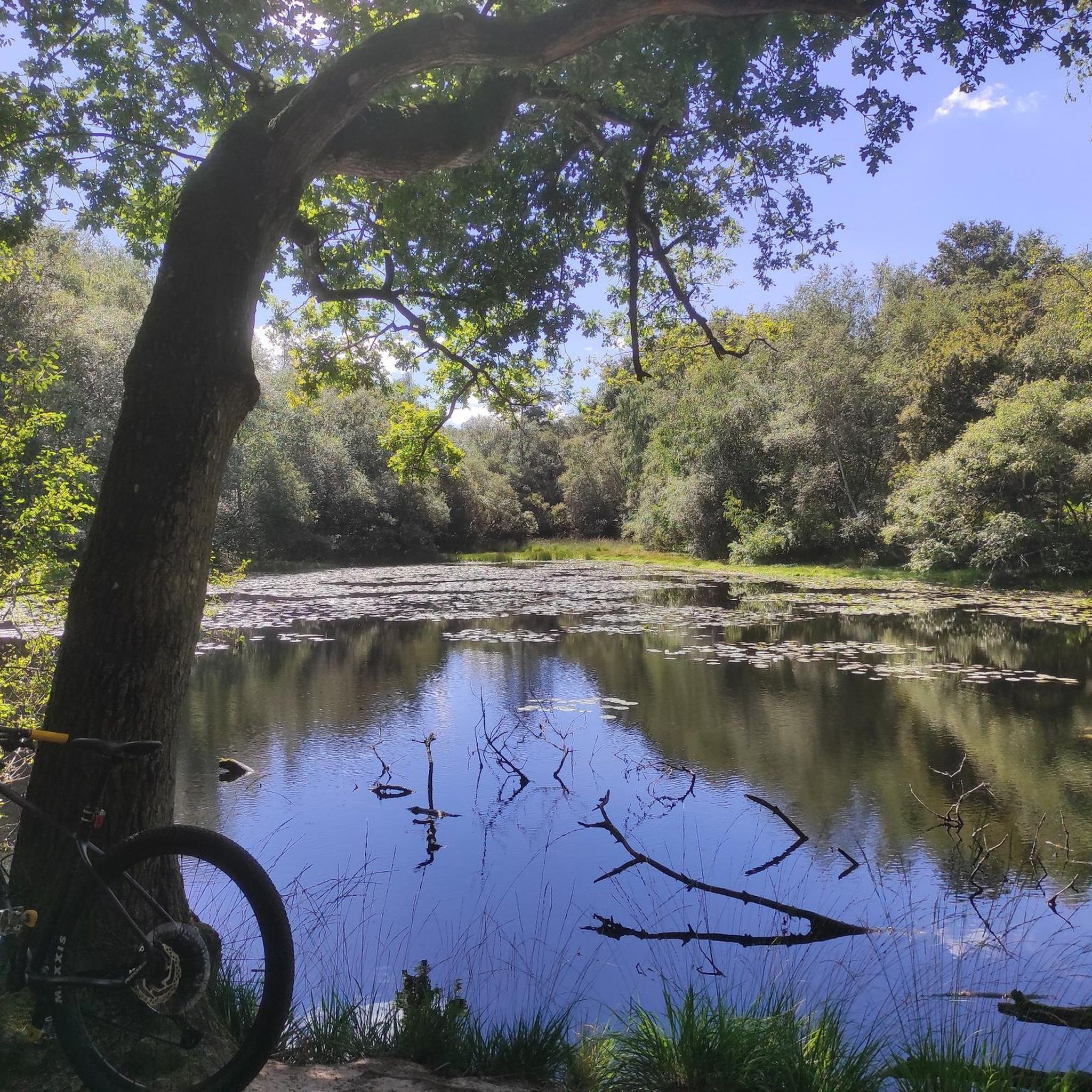
Pond (a priori private) along the path.
0
0

On the banks of the Meu, this mural recalls the essential role played by nature in the region.
0
0

A veritable green lung at the gates of the old medieval town of Montfort-sur-Meu
0
0
Frequently Asked Questions
What is the general difficulty level of hiking trails around Montfort-Sur-Meu?
The hiking trails around Montfort-Sur-Meu cater to a range of abilities. You'll find a good mix of easy and moderate routes, with a few more challenging options. Out of 31 available trails, 16 are classified as easy, 12 as moderate, and 3 as difficult, ensuring there's something for every fitness level.
Are there any family-friendly hiking routes in Montfort-Sur-Meu?
Yes, Montfort-Sur-Meu offers several family-friendly options. The Montfort Forest loop from Forêt communale de Montfort Sur Meu is an easy 5.6 km trail, perfect for a leisurely family outing. The protected Canut Valley also features a discovery trail that is mostly shaded and ideal for families, with educational panels about local flora and fauna.
Can I bring my dog on the hiking trails in Montfort-Sur-Meu?
Many trails in the Montfort-Sur-Meu area are dog-friendly, especially those through the Montfort Forest and along the riverbanks. It's always recommended to keep your dog on a leash, particularly in protected natural areas or near wildlife. For example, the Montfort Forest loop from Forêt communale de Montfort Sur Meu is a pleasant, easy option for you and your canine companion.
Are there circular hiking routes available in Montfort-Sur-Meu?
Yes, circular routes are very common and popular in Montfort-Sur-Meu. Many trails are designed as loops, allowing you to start and end at the same point. A great example is the Hiking loop from Domaine de la Rivière, which is a moderate 7.7 km route through varied landscapes.
What natural attractions or landmarks can I see while hiking in the region?
Montfort-Sur-Meu's trails offer access to diverse natural and historical attractions. You can explore the extensive Montfort Forest, walk along the Meu and Garun rivers, and discover the protected Canut Valley. Notable natural highlights include the picturesque Lake Trémelin viewpoint and the stunning Chambre au Loup Valley. The region is also considered a gateway to the legendary Brocéliande Forest.
What is the best time of year to go hiking in Montfort-Sur-Meu?
The best time for hiking in Montfort-Sur-Meu is generally from spring to autumn (April to October). During these months, the weather is milder and the natural landscapes are at their most vibrant. Spring brings blooming flora, while autumn offers beautiful foliage. Summer is also pleasant, especially for shaded forest walks.
Are there any historical sites or cultural points of interest along the trails?
Absolutely. Montfort-Sur-Meu is rich in history. Many trails pass through or near the historic town center with its cobbled streets and half-timbered houses. You can see medieval remnants like the majestic Tour du Papegaut and the Châtelet. The 'La Porte de Brocéliande' circuit, for instance, blends heritage and nature, passing historical landmarks and offering panoramic views from the town's higher elevations.
How long do hikes typically take in Montfort-Sur-Meu?
Hiking durations vary depending on the route's length and your pace. Many easy trails, like the 4.3 km Montfort Forest loop, can be completed in under 1.5 hours. Moderate routes, such as the 7.7 km Hiking loop from Domaine de la Rivière, typically take around 2 hours. Longer routes, like the 14.7 km 'Along the River Meu loop', can take up to 4 hours or more.
Is parking available at the trailheads in Montfort-Sur-Meu?
Yes, parking is generally available near popular trailheads and within Montfort-Sur-Meu itself. Many routes, especially those starting from the town or communal forests, have designated parking areas. It's advisable to check specific route details for the most convenient parking spots.
What do other hikers enjoy most about hiking in Montfort-Sur-Meu?
The hiking experience in Montfort-Sur-Meu is highly rated by the komoot community, with an average score of 4.6 stars from over 470 reviews. Hikers often praise the diverse landscapes, the peaceful atmosphere of the Montfort Forest, and the scenic walks along the Meu River. The blend of natural beauty and historical charm is frequently highlighted as a key appeal.
Are there any long-distance hiking paths that pass through Montfort-Sur-Meu?
Yes, Montfort-Sur-Meu is traversed by significant long-distance hiking routes. The GR37 and the GR39 (Manche-Océan) both pass through the region. The GR39, in particular, connects Mont-Saint-Michel to the Vilaine estuary, offering 350 km of dedicated trails for those looking for a more extensive hiking adventure.
Can I access hiking trails using public transport in Montfort-Sur-Meu?
Montfort-Sur-Meu has public transport connections that can help you reach the town center, from where many trails are accessible. The town is served by regional transport options. For specific trailheads further afield, local bus services might be available, but it's best to check local schedules for routes that align with your chosen hike.
Most popular routes around Montfort-Sur-Meu
Most popular attractions around Montfort-Sur-Meu

Get inspired with the komoot mobile app


Explore more
Browse the best Hikes in other regions.
