The best walks and hikes around Médréac
4.5
(215)
921
hikers
57
hikes
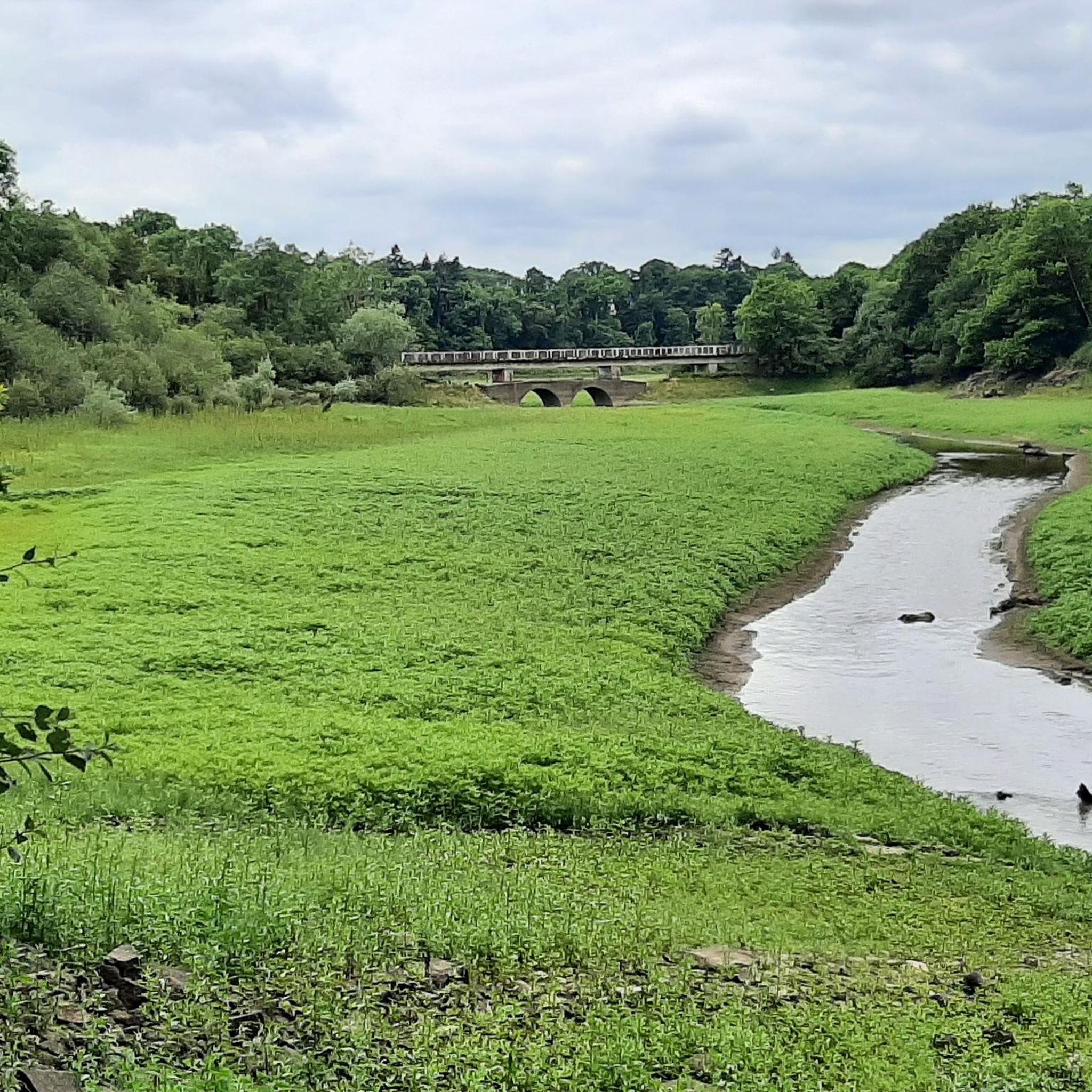
Hiking around Médréac offers exploration through a diverse landscape characterized by typical Breton bocage, featuring prairies, groves, and hedges. The region includes significant natural features such as the Buttes de la Hautière hills and the Vallée de la Vaunoise. Numerous streams, ponds, and the Néal river contribute to varied ecosystems and provide picturesque routes.
Best hiking trails around Médréac
- The most popular hiking route is La retenue de Rophemel — loop from Guitté, a 6.5 miles (10.5 km) trail…
Last updated: May 12, 2026
4.5
(26)
79
hikers
10.5km
02:50
130m
130m
Moderate hike. Good fitness required. Easily-accessible paths. Suitable for all skill levels.
4.6
(23)
75
hikers
10.4km
02:47
120m
120m
Moderate hike. Good fitness required. Easily-accessible paths. Suitable for all skill levels.

Sign up for free
4.3
(3)
35
hikers
15.0km
04:02
190m
190m
Moderate hike. Good fitness required. Easily-accessible paths. Suitable for all skill levels.
4.6
(5)
18
hikers
Easy hike. Great for any fitness level. Easily-accessible paths. Suitable for all skill levels.
13
hikers
19.9km
05:23
270m
270m
Hard hike. Very good fitness required. Easily-accessible paths. Suitable for all skill levels.
Get access to more routes and recommendations from other explorers.
Sign up for free
Already have an account?
Our route recommendations are based on thousands of hikes, rides, and runs completed by other people on komoot.
Start today with a free account
Your next adventure awaits.
Login or Signup
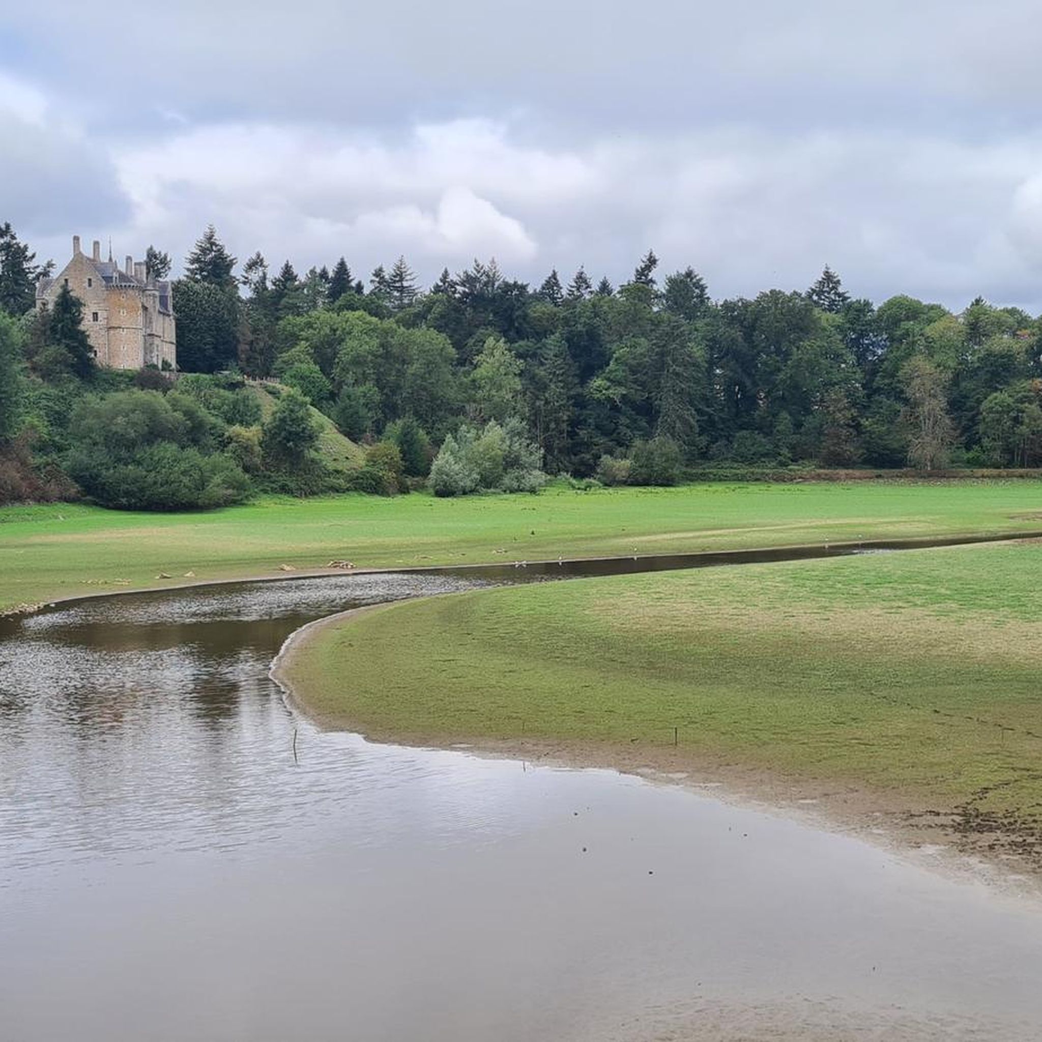

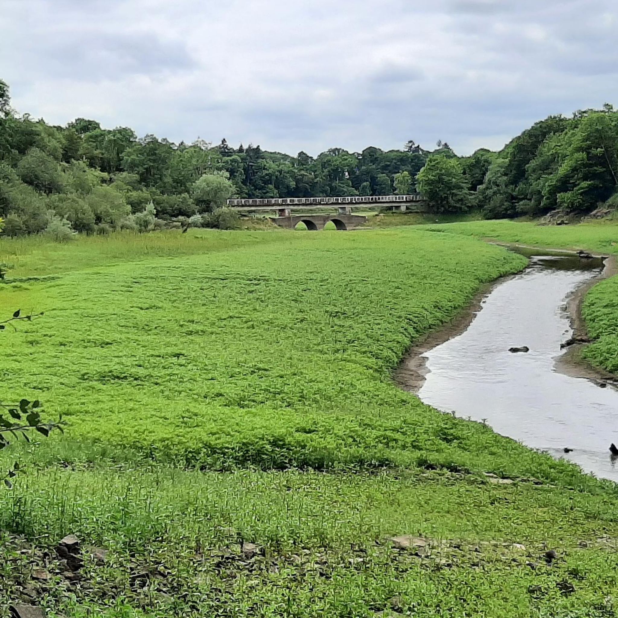
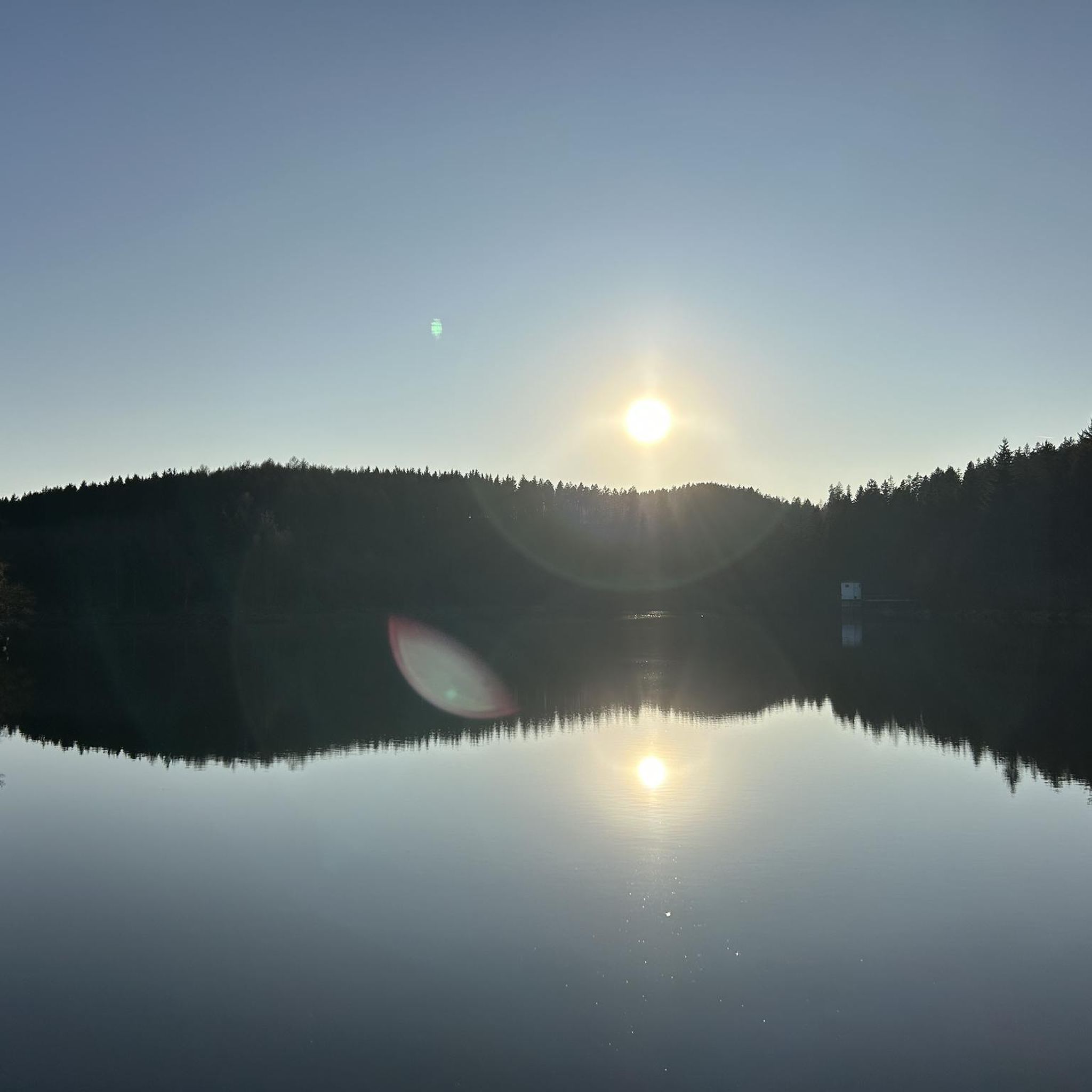
Tips from the Community

The Lampouy alignments are a set of five megalithic alignments.
0
0

megalith which dominates the countryside. excellent downhill single suitable for gravel
0
0

Opposite the standing stone, large field of aligned stones. Be careful in rainy weather, delicate surroundings of the water reservoir
0
0

The Lampouy alignments are a set of five megalithic alignments located in the commune of Médréac
0
0
The menhir is made of quartzite. Its height is 4.28 m, width 2.20 m and thickness 1.18 m. Its elongated and pointed shape would have earned it its name of Pierre Longue. Toppled in 1963, the menhir was erected in 1979. (Wikipedia)
0
0
Very pretty historic building.
0
0

Made of stone, with pictures, for orientation and with information
0
0

Frequently Asked Questions
What kind of terrain and landscapes can I expect on hikes around Médréac?
Hikes around Médréac primarily feature the typical Breton bocage landscape, characterized by prairies, groves, and hedges. You'll also find diverse natural features such as the Buttes de la Hautière hills, the tranquil Vallée de la Vaunoise, and numerous streams, ponds, and the Néal river, all contributing to picturesque routes. The area is part of the Loire-Bretagne basin, offering varied ecosystems.
Are there easy hiking options suitable for beginners or families in Médréac?
Yes, Médréac offers a good selection of easy hiking trails. Out of over 60 routes, 24 are classified as easy, making them suitable for beginners or families with children. An example of an easy route is the Rophemel Reservoir – Menhir de la Pierre Longue loop from Guitté, which is about 6.2 km long.
What natural landmarks or historical sites can I see while hiking in Médréac?
Médréac's hiking trails offer access to both natural and historical landmarks. You can explore significant megalithic sites like the Menhir de la Pierre Longue and the Megalithic Alignments of Lampouy. Natural highlights include the Buttes de la Hautière and the Vallée de la Vaunoise. The Vescomitile Roman Road – Menhir de la Pierre Longue loop from Médréac is a great option to combine history with nature.
Are there any waterfalls or significant water features to discover?
Yes, the region is rich in water features. You can find the Néal Waterfall and View of the Pond, as well as several ponds and lakes like Lac de Rophemel. The Canal d'Ille-et-Rance also provides a pleasant environment for walks along the waterways. The La retenue de Rophemel — loop from Guitté trail explores the area around the Rophemel reservoir.
Can I bring my dog on the hiking trails in Médréac?
While many trails in France are dog-friendly, it's always best to keep your dog on a leash, especially in natural sensitive areas like the Buttes de la Hautière or Bois Gesbert, to protect local wildlife and ensure a pleasant experience for all hikers. Specific regulations can vary, so always observe local signage.
Are there circular hiking routes available in Médréac?
Yes, many of the popular hiking routes around Médréac are circular, allowing you to start and end at the same point. Examples include La Rance and La Roche Longue – loop and the Vescomitile Roman Road – Menhir de la Pierre Longue loop from Médréac.
What is the best time of year to go hiking in Médréac?
Médréac offers enjoyable hiking experiences throughout much of the year. Spring and autumn are particularly pleasant, with mild temperatures and beautiful scenery as the bocage landscape changes colors. Summer is also suitable, but it's advisable to hike earlier in the morning or later in the afternoon to avoid the midday heat. Winter can be charming for crisp walks, though some paths might be muddy.
What do other hikers enjoy most about hiking in Médréac?
The komoot community highly rates the hiking experience in Médréac, with an average score of 4.5 stars from over 200 reviews. Hikers often praise the diverse bocage landscape, the tranquility of the river valleys, and the presence of ancient megalithic sites. The well-maintained network of trails caters to various ability levels, making it accessible for many.
How many hiking trails are there in Médréac, and what are their difficulty levels?
There are over 60 hiking trails around Médréac. These routes cater to various fitness levels: approximately 24 are easy, 30 are moderate, and 6 are considered difficult, offering options for everyone from casual walkers to experienced hikers.
Are there places to eat or stay near the hiking trails in Médréac?
Médréac and its surrounding villages offer amenities for hikers. While specific cafes or accommodations directly on every trailhead might vary, you can find options in the main village of Médréac. For example, the nearby town of Bécherel, known as a 'Book Town', also offers charm and potential services.
Is public transport available to reach trailheads in Médréac?
Public transport options to specific trailheads in Médréac may be limited. It is generally recommended to use a car to access the starting points of many hikes, especially those in more rural areas. Parking is typically available near popular trailheads or in the villages.
Most popular attractions around Médréac

Get inspired with the komoot mobile app


Explore more
Browse the best Hikes in other regions.
