The best walks and hikes around Montreuil-Sur-Ille
4.3
(211)
1,835
hikers
86
hikes
Hiking around Montreuil-Sur-Ille offers routes through a landscape characterized by water bodies, including ponds and canal locks, with generally low elevation changes. The terrain is suitable for varied activity levels, featuring paths that often follow waterways and open countryside. The region provides opportunities for both short walking routes and longer excursions.
Best hiking trails around Montreuil-Sur-Ille
- The most popular hiking route is Boulet Pond loop from Feins, a 5.0 miles (8.1 km) trail that takes 2 hours 5 minutes…
Last updated: July 9, 2026
3.0
(1)
18
hikers
12.3km
03:14
110m
110m
Moderate hike. Good fitness required. Easily-accessible paths. Suitable for all skill levels.
4.7
(7)
23
hikers
9.07km
02:19
30m
30m
Moderate hike. Good fitness required. Easily-accessible paths. Suitable for all skill levels.

Sign up for free
4.7
(6)
20
hikers
7.67km
01:56
10m
10m
Easy hike. Great for any fitness level. Easily-accessible paths. Suitable for all skill levels.
4.7
(3)
14
hikers
10.2km
02:39
70m
70m
Moderate hike. Good fitness required. Easily-accessible paths. Suitable for all skill levels.
3.0
(1)
11
hikers
6.89km
01:45
20m
20m
Easy hike. Great for any fitness level. Easily-accessible paths. Suitable for all skill levels.
Get access to more routes and recommendations from other explorers.
Sign up for free
Already have an account?
Our route recommendations are based on thousands of hikes, rides, and runs completed by other people on komoot.
Start today with a free account
Your next adventure awaits.
Login or Signup

Tips from the Community

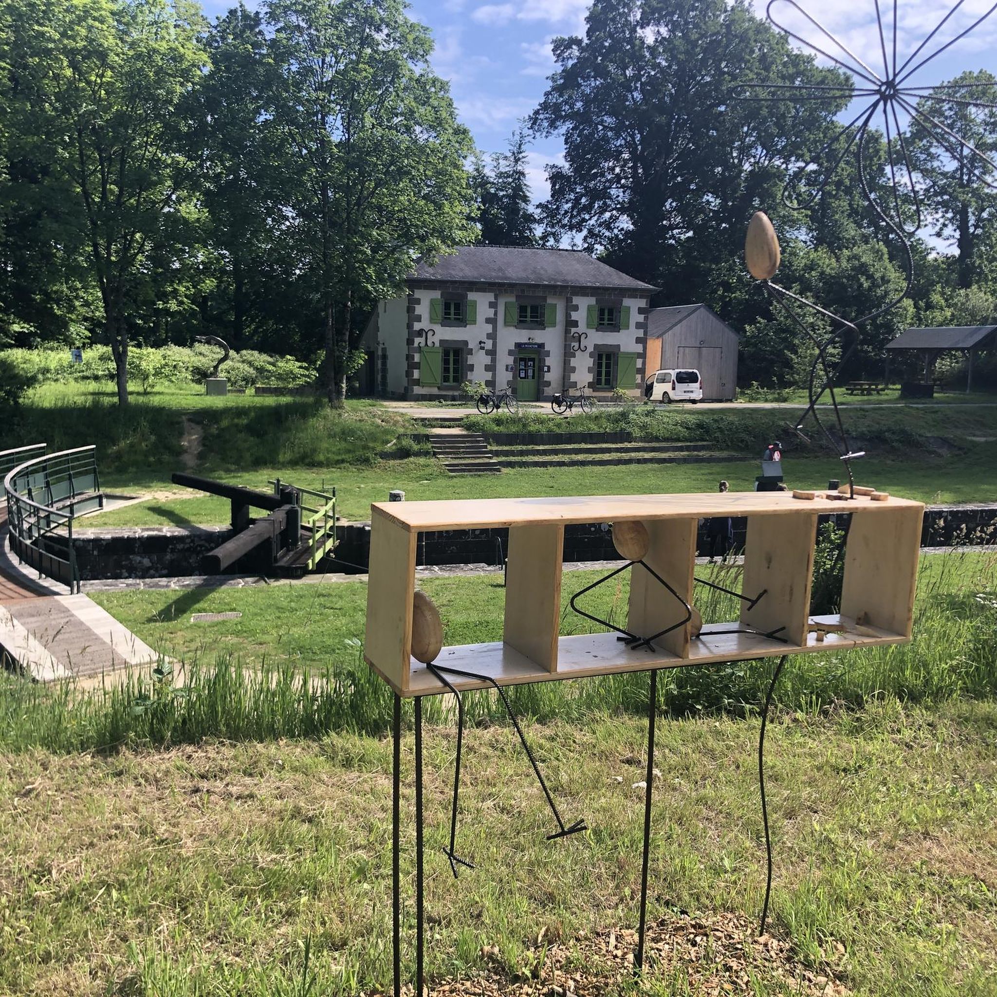
Cool and nice place to take a drink break🍻☕️ or snack🍽️ by the canal
0
0

Always a good spot for a walk on the Rance!
0
0

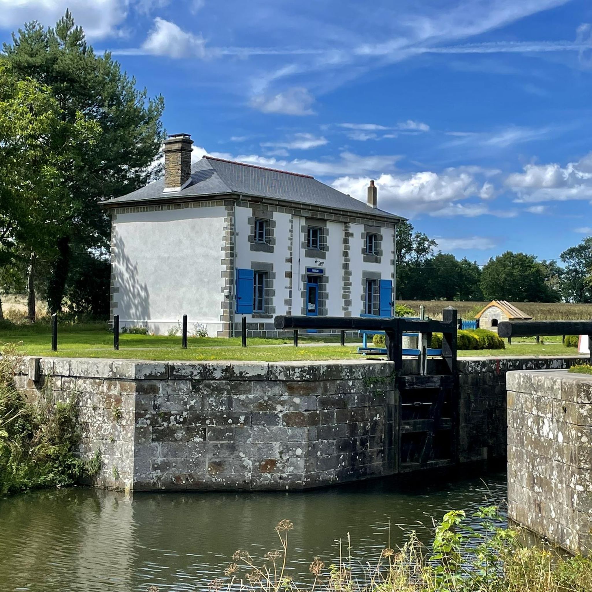
Beautiful view of the canal. There is a path along it, but it might not be suitable for a road bike with thin tires. Great place for a picnic. A little history : Construction of the Ille-et-Rance canal began in 1804, under Napoleon I, and ended in 1832. The bulk of the work focused on the 11 Hédé-Bazouges locks which connect the two rivers. A real aquatic ladder, they allow you to overcome a 27 m difference in height. Until the beginning of the 20th century, the canal's vocation was essentially commercial between Rennes and Saint-Malo, but little by little the railways and then the road took over, announcing the decline of this economic vocation. Today, the transport of goods has given way to river tourism.
0
0

Along the canal, we find this repainted barn with a pleasant view.
1
0

Creperie, but mostly a snack stand about 30km out from Rennes is a good stopping point for refreshments and a little rest on the terrasse.
0
0

Only bar in Saint-Medard-sur-Ille. Serves as bread drop-off point Mondays and Wednesdays.
0
0
Frequently Asked Questions
What kind of hiking trails can I expect around Montreuil-Sur-Ille?
The trails around Montreuil-Sur-Ille are characterized by routes through landscapes with numerous water bodies, including ponds and canal locks. The elevation changes are generally low, making the terrain suitable for various activity levels. Many paths follow waterways and open countryside, offering a mix of short walks and longer excursions.
How many hiking routes are available in Montreuil-Sur-Ille?
There are over 70 hiking routes available around Montreuil-Sur-Ille, catering to different preferences. This includes more than 30 easy trails, over 40 moderate options, and a few more challenging routes for experienced hikers.
Are there easy or beginner-friendly hiking trails in the area?
Yes, Montreuil-Sur-Ille offers many easy and beginner-friendly hiking trails. Over 30 routes are classified as easy. A good option is the Villemorin Lock – Plousière Pond loop from Guipel, which is an easy 7.7 km (4.8 miles) path with minimal elevation gain.
What do other hikers say about the trails in Montreuil-Sur-Ille?
The hiking trails in Montreuil-Sur-Ille are highly regarded by the komoot community, holding an average rating of 4.3 stars from over 200 reviews. Hikers often praise the scenic routes along the canals and ponds, as well as the well-maintained paths suitable for various skill levels.
Are there any circular walks around Montreuil-Sur-Ille?
Many of the trails in Montreuil-Sur-Ille are circular, allowing you to start and end at the same point. For example, the Creperie de Ille loop from Montreuil-sur-Ille is a moderate 8.5 km (5.3 miles) circular route that offers a pleasant walk through the local landscape.
What are some interesting landmarks or attractions to see while hiking?
The region is known for its canal infrastructure. Along your hikes, you can explore several locks, such as the impressive Site des Onze écluses (Eleven Locks Site) or the Hédé lock scale. The Lock on the Ille-et-Rance Canal is another notable point of interest.
Is Montreuil-Sur-Ille suitable for family hikes?
Yes, the generally low elevation changes and numerous easy routes make Montreuil-Sur-Ille very suitable for family hikes. Many trails follow flat paths along the canal or around ponds, providing safe and enjoyable options for all ages. Consider shorter, easy loops for younger children.
Can I bring my dog on the hiking trails?
Most hiking trails in the Montreuil-Sur-Ille region are dog-friendly. It is generally expected that dogs are kept on a leash, especially when passing through agricultural areas or near wildlife habitats. Always ensure you carry water for your pet and clean up after them.
What is the best season for hiking in Montreuil-Sur-Ille?
The best seasons for hiking in Montreuil-Sur-Ille are spring and autumn. During these times, the weather is typically mild, and the natural scenery is vibrant with blooming flowers or colorful foliage. Summer can also be pleasant, but it's advisable to start early to avoid the midday heat.
Are there options for less crowded hiking trails?
While popular routes can see more visitors, Montreuil-Sur-Ille has a wide network of trails, and it's often possible to find quieter paths, especially away from the main canal sections. Exploring some of the less-trafficked loops through the countryside or around smaller ponds can offer a more secluded experience.
Are there any cafes or places to eat along the trails?
While not directly on every trail, Montreuil-Sur-Ille and nearby villages offer places to eat. For example, the Ille Flottante is a restaurant highlight in the area. It's always a good idea to check opening hours and locations beforehand, especially in smaller communities.
Is public transport available to access hiking trailheads?
Montreuil-Sur-Ille has a train station, making it accessible by regional rail services. From the town center, many trailheads are within walking distance. For trails further afield, local bus services might be available, but checking specific routes and schedules in advance is recommended.
Most popular routes around Montreuil-Sur-Ille
Most popular attractions around Montreuil-Sur-Ille

Get inspired with the komoot mobile app


Explore more
Browse the best Hikes in other regions.
