The best walks and hikes around Tupin-Et-Semons
4.5
(613)
3,881
hikers
11
hikes
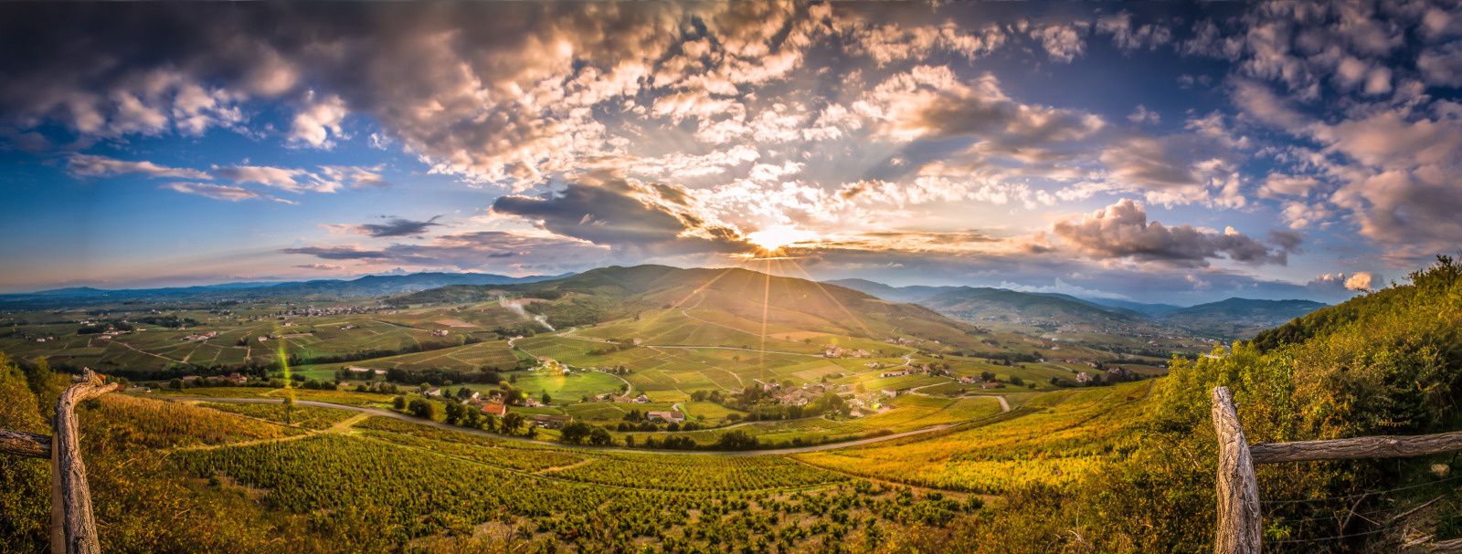
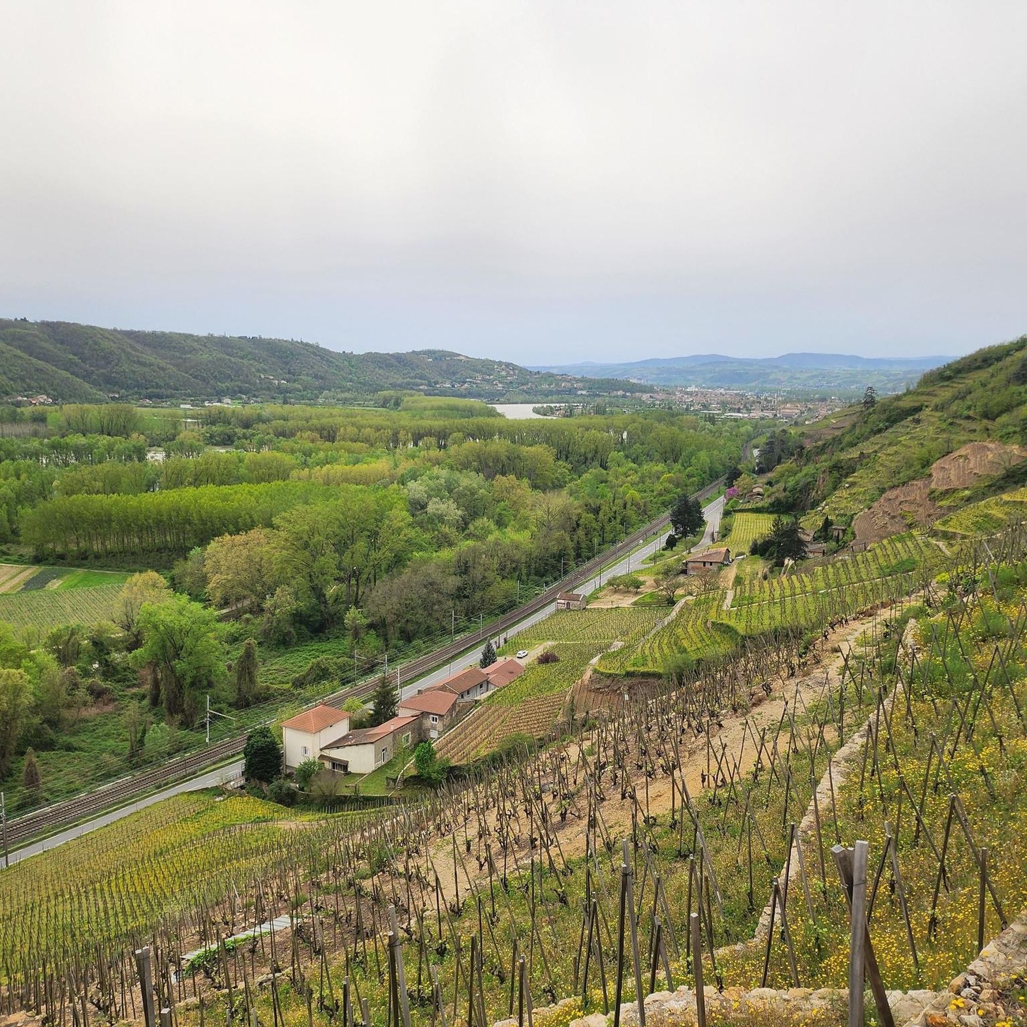
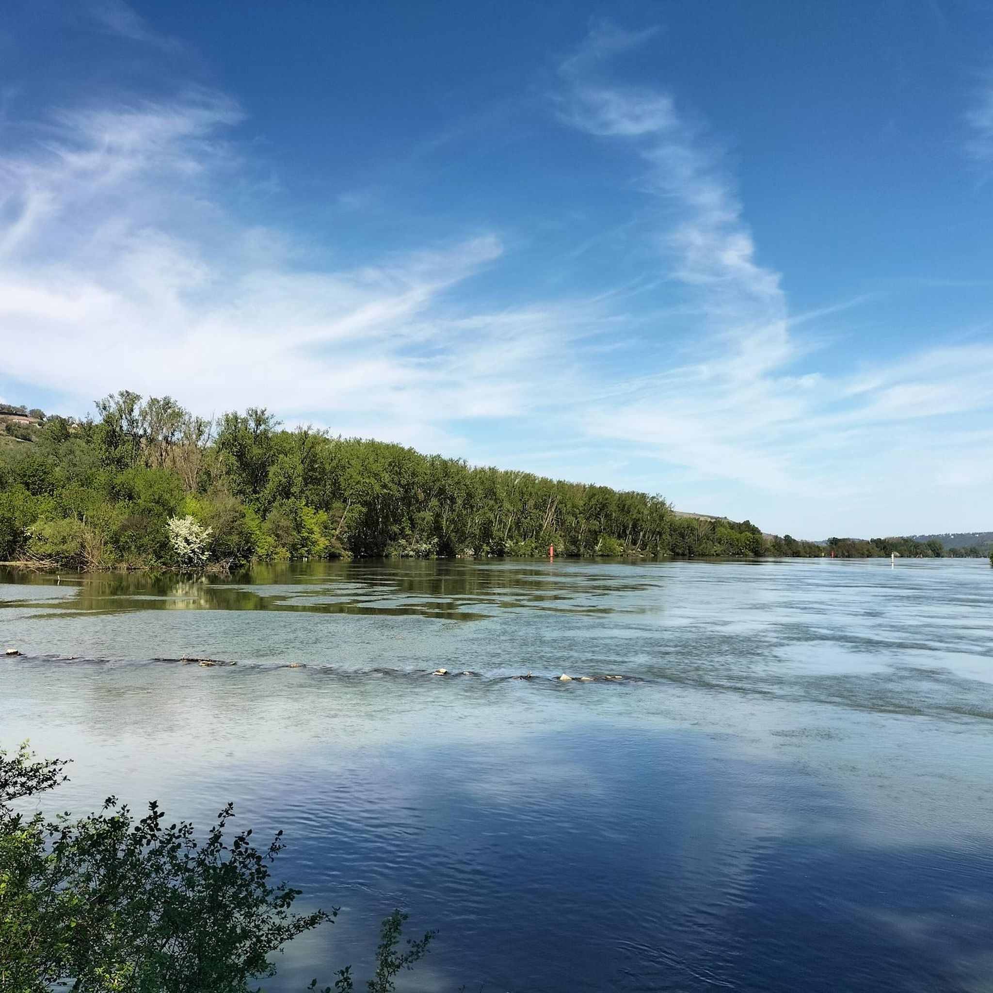
Hiking around Tupin-Et-Semons offers varied terrain within the Rhône department of France. The region is characterized by the Rhône River and its scenic banks, terraced vineyards of the Côte-Rôtie appellation, and the foothills of the Pilat Regional Natural Park. This landscape provides a mix of riverside paths, vineyard trails, and elevated viewpoints.
Best hiking trails around Tupin-Et-Semons
- The most popular hiking route is Church of Saint-Pierre-de-Bœuf loop from Condrieu, a 2.1 miles (3.4 km) trail that takes 1 hour…
Last updated: July 9, 2026
4.7
(7)
68
hikers
3.71km
01:10
140m
140m
Easy hike. Great for any fitness level. Easily-accessible paths. Suitable for all skill levels.
5.0
(6)
49
hikers
10.3km
02:52
170m
170m
Moderate hike. Good fitness required. Easily-accessible paths. Suitable for all skill levels.

Sign up for free
4.3
(6)
24
hikers
7.99km
02:13
150m
150m
Moderate hike. Good fitness required. Easily-accessible paths. Suitable for all skill levels.
3.5
(2)
10
hikers
9.37km
02:46
260m
260m
Moderate hike. Good fitness required. Easily-accessible paths. Suitable for all skill levels.
4.3
(3)
6
hikers
12.0km
03:22
250m
250m
Moderate hike. Good fitness required. Easily-accessible paths. Suitable for all skill levels.
Get access to more routes and recommendations from other explorers.
Sign up for free
Already have an account?
Our route recommendations are based on thousands of hikes, rides, and runs completed by other people on komoot.
Start today with a free account
Your next adventure awaits.
Login or Signup

Other adventures around Tupin-Et-Semons

Tips from the Community

beautiful bridge with great views
0
0

A wonderful stretch of route! The stunning scenery and excellent cycle paths make the Via Rhôna cycle tour a truly memorable experience!
0
0

The Condrieu suspension bridge spans the Rhône between the towns of Condrieu in the Rhône department and Les Roches-de-Condrieu in the Isère department. The suspension bridge consists of two spans separated by a central concrete pylon forming an arch, in which the metal suspension cables are anchored. The entrance to the bridge is marked by two concrete pylons that receive the cables on the banks. These are connected to the deck by hangers. The deck, with its metal frame and reinforced concrete cover slab, carries a two-lane, two-way roadway, bordered by sidewalks lined with guardrails. The current Condrieu bridge is the second bridge to be built at this location; it replaces an earlier structure constructed in 1832 and declared to be in very poor condition in 1929. The 1934 work was barely completed when the bridge was closed in June 1940 due to an act of war. A cable ferry was put back into service to restore the river crossing. In spring 2025, due to structural weaknesses, the bridge was closed to traffic for several months while new cables were installed and reinforcement work was carried out.
1
0

View from the bridge between Roches de Condrieu and Condrieu.
0
0

Cycling along the banks of the Rhone on the Quai Frédéric Mistral in Condrieu is a pleasant experience with panoramic views of the river and the impressive bridge connecting Condrieu to Les-Roches-de-Condrieu.
1
0
From the cycle path along the Rhône.
0
0

sheltered stopping spot above the Rhône
2
1
sheltered contemplative break in the shade
1
1
Frequently Asked Questions
What kind of terrain can I expect on hikes around Tupin-Et-Semons?
Hiking around Tupin-Et-Semons offers a diverse landscape. You'll find paths along the Rhône River, trails winding through the steep, terraced vineyards of Côte-Rôtie, and routes within the varied foothills of the Pilat Regional Natural Park. The terrain can range from gentle riverside walks to more challenging vineyard climbs.
Are there any easy hiking trails suitable for beginners or families?
Yes, there are several easy options. For instance, the Church of Saint-Pierre-de-Bœuf loop from Condrieu is an easy 2.1-mile (3.4 km) route offering pleasant views of the river landscape. Another accessible choice is the Auberge de la source loop from Tupin-et-Semons, which is also an easy 2.1-mile (3.4 km) trail through local terrain.
What are the best viewpoints or scenic spots along the trails?
The region is known for its stunning vistas. The Belvedere of Tupin-et-Semons offers breathtaking panoramic views of the Rhône Valley, the Côte-Rôtie vineyards, and even the Vercors mountains and Alps on clear days. Many vineyard trails, such as sections of the "Sentier des Grand(e)s Cru(e)s," also provide elevated perspectives of the surrounding landscape and the market gardening plain of Ampuis.
Can I bring my dog on the hiking trails?
While specific restrictions can vary by trail, many natural areas and paths around Tupin-Et-Semons are generally dog-friendly, especially if your dog is kept on a leash. The "Île du Beurre" is a protected natural area and bird sanctuary, so it's important to check specific rules for pets there to protect local wildlife.
Are there any circular hiking routes available?
Yes, many routes in the area are circular. Examples include the Butter Island – Auberge de la source loop from Ampuis, a moderate 6.3-mile (10.1 km) path, and the Hiking loop from Le Grand Bois, a moderate 5-mile (8 km) trail. These loops allow you to start and end at the same point, making planning easier.
What natural attractions or landmarks can I explore while hiking?
You can explore several notable features. The "Île du Beurre" (Butter Island) is a protected bird sanctuary and nature observation center along the Rhône. The historic Côte-Rôtie vineyards themselves are a significant landmark, with some dating back over 2000 years. You can also visit the Chapel Notre Dame de Semons, a historical monument, or enjoy the views from the Butter Island.
What is the best time of year to go hiking in Tupin-Et-Semons?
The region is enjoyable for hiking across multiple seasons. Spring and autumn offer pleasant temperatures and beautiful scenery, with vineyards changing colors. Summer can be warm, making riverside paths or early morning hikes ideal. Winter hikes are also possible, offering a different perspective of the landscape, though some vineyard paths might be slippery.
How many hiking trails are there in Tupin-Et-Semons?
There are over 10 hiking routes around Tupin-Et-Semons, offering a variety of distances and difficulty levels to suit different preferences.
What do other hikers enjoy most about the trails in Tupin-Et-Semons?
The area is highly rated by the komoot community, with an average score of 4.5 stars from over 500 reviews. Hikers often praise the diverse scenery, which includes picturesque riverbanks and stunning vineyard landscapes, as well as the well-maintained paths that cater to various abilities.
Are there options for public transport or parking near the trailheads?
While specific public transport options directly to all trailheads might be limited, the area is accessible by car, and parking is generally available in or near the villages like Tupin-Et-Semons, Condrieu, and Ampuis. It's advisable to check local parking regulations and availability, especially during peak seasons.
Are there any longer, more challenging routes for experienced hikers?
While there are no routes classified as 'difficult' in the immediate vicinity, several moderate trails offer longer distances and more elevation gain. For example, the Butter Island – Auberge de la source loop from Ampuis is a moderate 6.3-mile (10.1 km) route, and the Auberge de la source loop from Condrieu covers 5.8 miles (9.3 km) with significant elevation changes, providing a good workout.
Can I find places to eat or stay near the hiking trails?
Yes, villages like Tupin-Et-Semons, Condrieu, and Ampuis offer various amenities. You can find local restaurants, cafes, and accommodations, including the Auberge de la source mentioned in some route names, providing convenient options for refreshments or overnight stays after your hike.
Most popular routes around Tupin-Et-Semons
Most popular attractions around Tupin-Et-Semons

Get inspired with the komoot mobile app


Explore more
Browse the best Hikes in other regions.
