The best road cycling routes around Garnerans
4.5
(175)
4,972
riders
376
rides
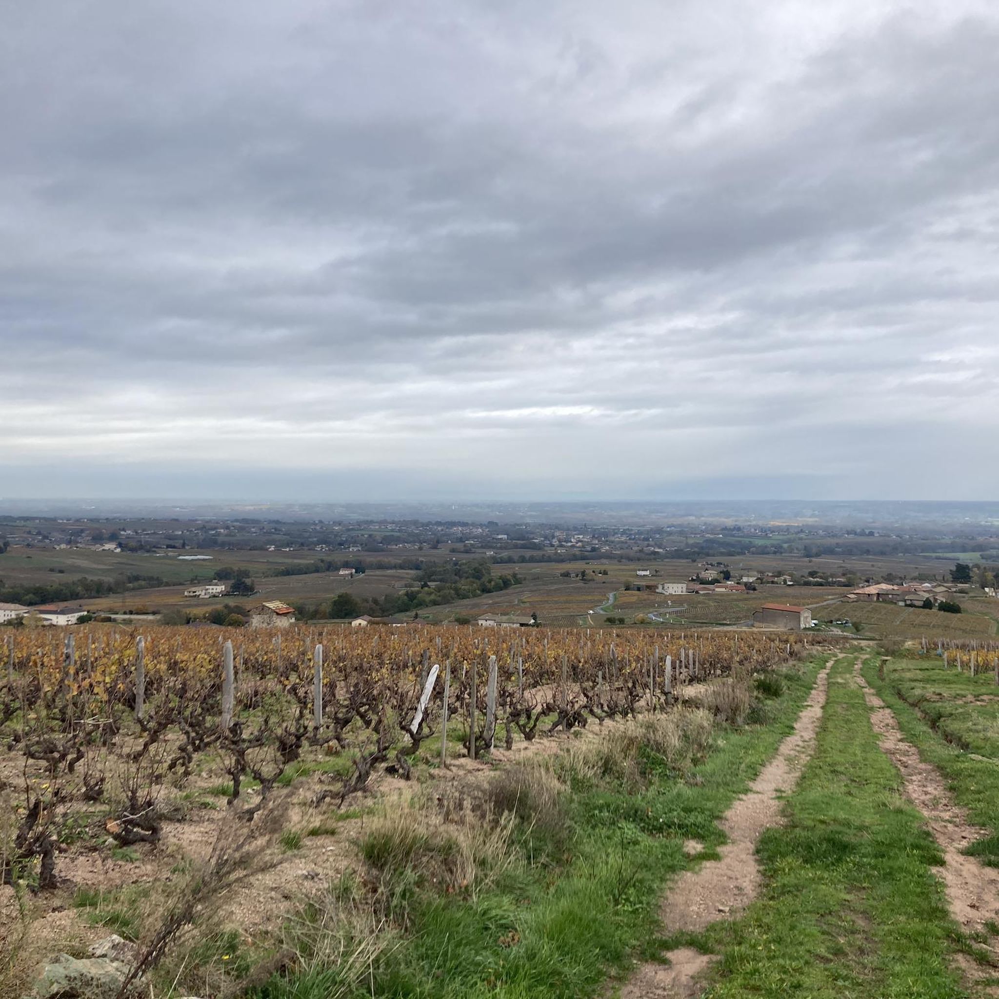
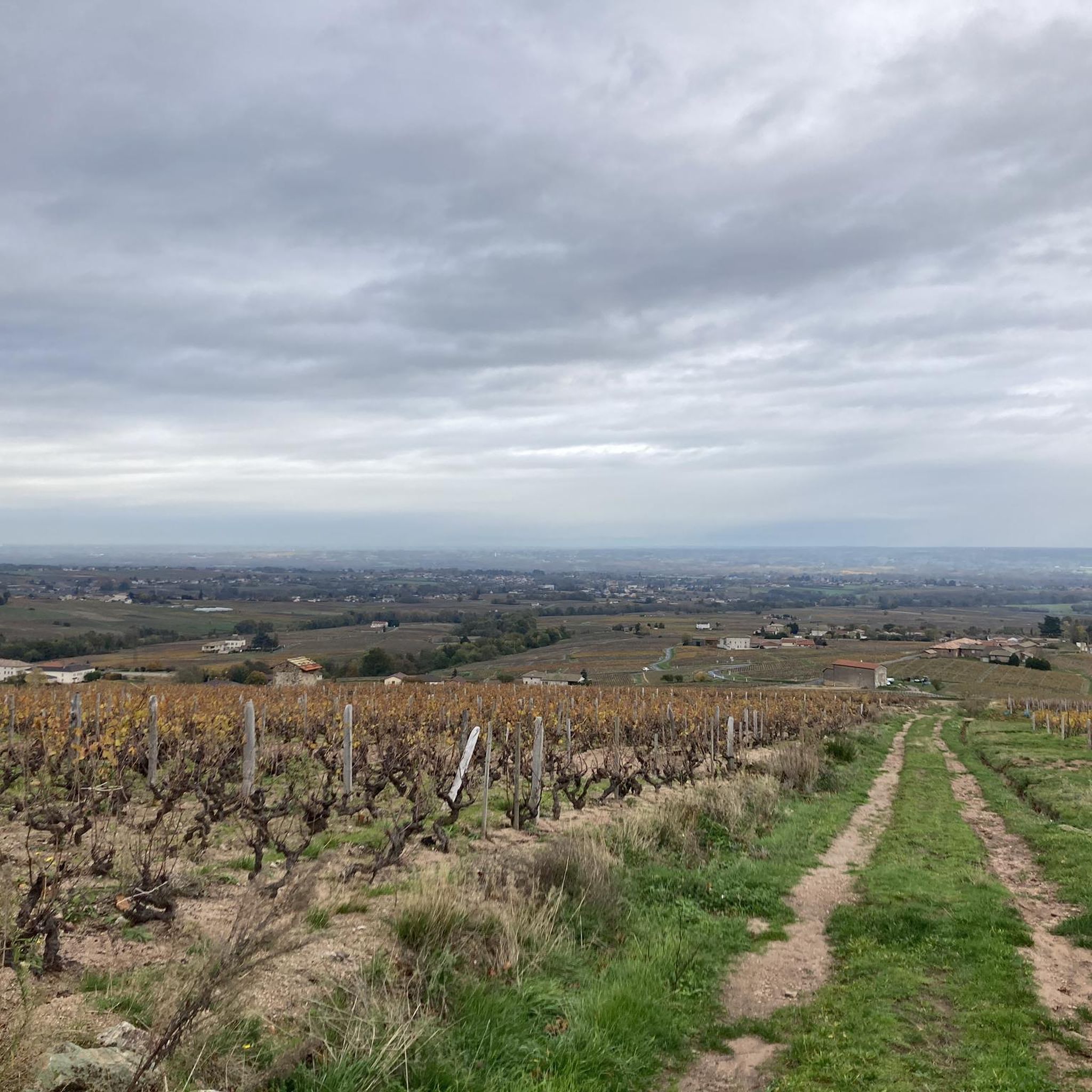
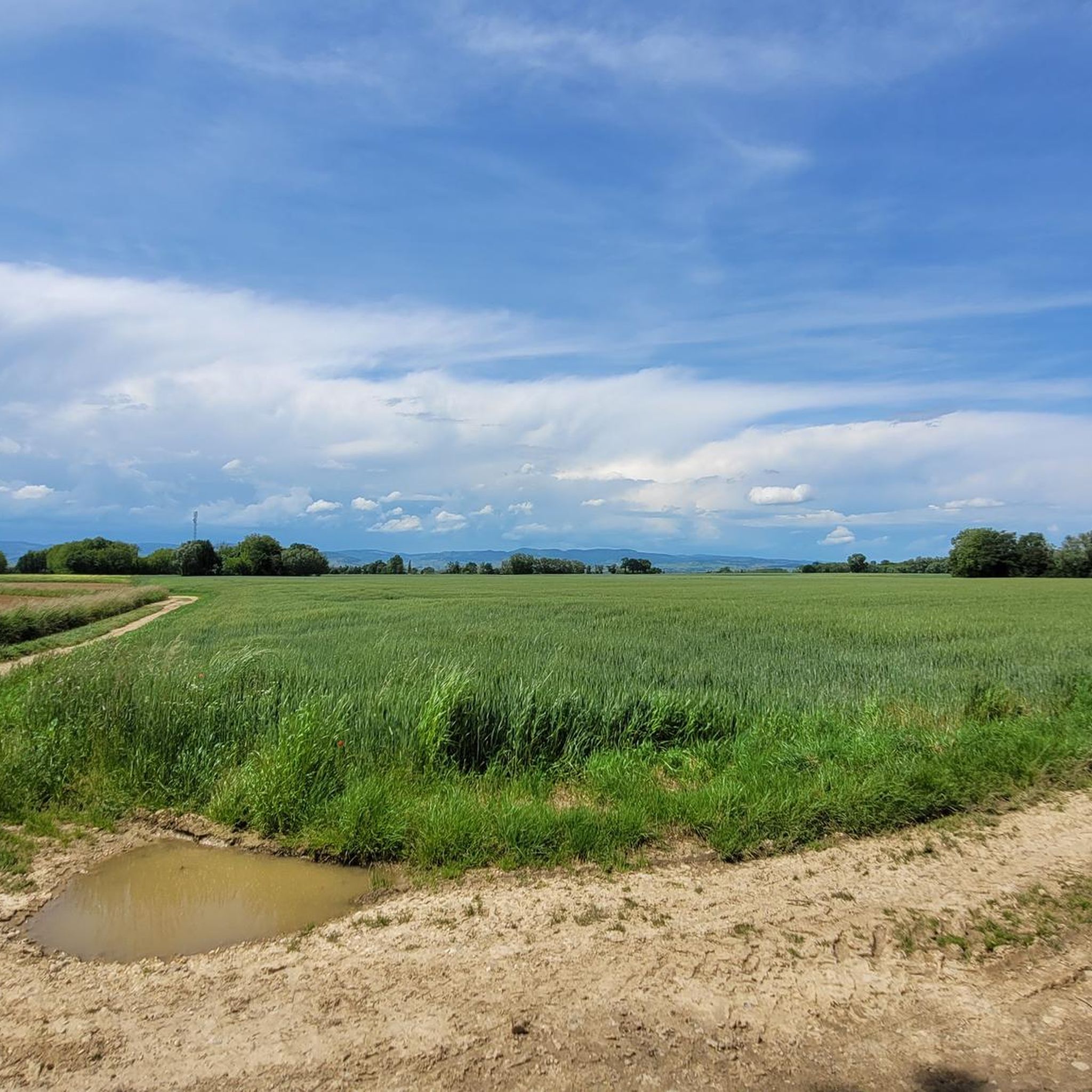
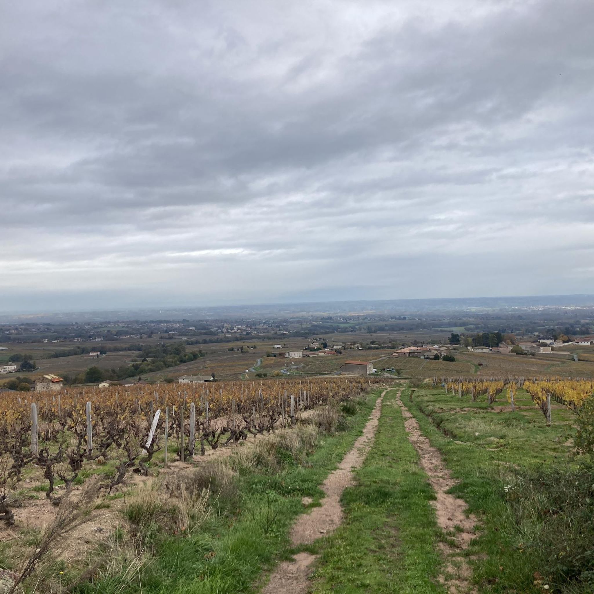
Road cycling routes around Garnerans traverse a landscape characterized by varied terrain, including river valleys, rolling hills, and agricultural plains. The region features routes along the Saône riverbanks and ascents to several cols, offering diverse elevation profiles. Road cyclists can expect a mix of flat sections and significant climbs, with elevations reaching over 1300 meters on some routes.
Best road cycling routes around Garnerans
- The most popular road cycling route is Touroparc – Illiat church loop from Pontanevaux-La-Chapelle, a…
Last updated: July 5, 2026
3.0
(1)
19
riders
51.4km
02:18
220m
220m
Moderate road ride. Good fitness required. Mostly well-paved surfaces and easy to ride.
4.5
(2)
21
riders
Moderate road ride. Good fitness required. Mostly well-paved surfaces and easy to ride.

Sign up for free
14
riders
48.9km
02:03
290m
290m
Moderate road ride. Good fitness required. Mostly well-paved surfaces and easy to ride.
13
riders
87.1km
04:22
1,330m
1,330m
Hard road ride. Very good fitness required. Mostly well-paved surfaces and easy to ride.
11
riders
49.4km
02:04
260m
260m
Moderate road ride. Good fitness required. Mostly well-paved surfaces and easy to ride.
Get access to more routes and recommendations from other explorers.
Sign up for free
Already have an account?
Our route recommendations are based on thousands of hikes, rides, and runs completed by other people on komoot.
Start today with a free account
Your next adventure awaits.
Login or Signup

Tips from the Community

Although the pass is located in France and is not extremely high, its name translates to "Siberia Pass". The name goes back to the often very cold, snow-rich winds and the harsh weather conditions in winter.
1
0
Among anglers, the Saône near Mâcon enjoys a legendary reputation. The river is known for its gigantic European catfish (Waller). In this area, capital fish regularly get caught, which are well over 2 meters long and weigh over 100 kilograms.
0
0
The Berges de la Saône (the riverbank promenade of the Saône River) is a modernized riverbank section in the Burgundy region of France, near the road du Pont Vert. This paved riverside path is a popular section of the well-known La Voie Bleue cycle route (Moselle-Saône cycle route) and serves as a recreational and event area for both pedestrians and cyclists.
1
0
The Saint-Laurent Bridge (Pont Saint-Laurent) is a historic stone bridge that spans the Saône River. It connects the town of Mâcon in the Saône-et-Loire department with the municipality of Saint-Laurent-sur-Saône in the Ain department. Initial wooden structures were already built by the Romans. The current stone bridge dates back to the 11th century in its core and is considered the oldest bridge over the Saône. The structure consists of twelve stone arches. On one of the pillars, there is a statue of Saint Nicholas, the patron saint of boatmen. It is one of the few historic structures in the region that survived the demolitions of World War II unscathed.
1
0
The Col de Durbize is a mountain pass at 550 meters above sea level in the municipality of Chiroubles, in the heart of the Beaujolais wine region. The pass is located in the Massif Central and, as an important road junction (intersection of roads D26, D86, and D18E1), connects surrounding wine villages such as Villié-Morgon and Beaujeu. It is particularly popular with road cyclists and hikers for its panoramic views.
0
0
The Col de Gerbet (612 m) is an idyllic mountain pass in the French wine-growing region of Beaujolais. Depending on the starting point, various roads with little traffic lead up to the pass via the D137. From Juliénas (south-east approach): This route is 7.3 kilometers long. It overcomes 342 meters of altitude with a steady, moderate gradient of 4.7% on average. The road winds through shady forest sections. From La Croix Blanche (west approach): A tougher variant 4.5 kilometers long. Here you conquer 270 meters of altitude with an average gradient of 6% and ramps of up to 11%.
1
0

Great welcome, even just for a coffee, filling up with water and disposing of our waste. Looking at the menu, the dishes seem delicious.
0
0

Frequently Asked Questions
How many road cycling routes are available in Garnerans?
Garnerans offers a wide variety of road cycling routes, with over 380 different tours available. These routes cater to all skill levels, from easy riverside paths to challenging climbs.
Are there easy road cycling routes suitable for beginners in Garnerans?
Yes, Garnerans has approximately 74 easy road cycling routes. An excellent option for beginners is the Berges de la Saône – Saint-Laurent Bridge loop from Cormoranche-sur-Saône, which is 29.7 miles (47.7 km) long and features gentle terrain along the river.
What are some challenging road cycling routes in Garnerans?
For experienced cyclists seeking a challenge, Garnerans offers over 100 difficult routes. A notable challenging route is the Col du Fût d'Avenas – Viewpoint of Fût d'Avenas loop from Pontanevaux-La-Chapelle, which spans 54.1 miles (87.1 km) and includes a substantial 4361 feet (1329 meters) of elevation gain.
Are there road cycling routes around 50km in length in Garnerans?
Yes, many road cycling routes in Garnerans are around the 50km mark. For example, the Touroparc – Illiat church loop from Pontanevaux-La-Chapelle is 32.9 miles (52.9 km) long, offering a moderate ride through varied terrain.
What kind of scenery can I expect on road cycling routes in Garnerans?
Road cycling in Garnerans offers diverse scenery, including picturesque river valleys along the Saône, rolling hills, and expansive agricultural plains. You'll encounter a mix of natural landscapes and charming rural settings.
What do other road cyclists enjoy most about road cycling in Garnerans?
The road cycling routes in Garnerans are highly rated by the komoot community, with an average score of 4.5 stars from over 175 reviews. Cyclists often praise the varied terrain, from flat riverside paths to challenging climbs, and the well-maintained routes that showcase the region's natural beauty.
Are there any interesting landmarks or viewpoints along the road cycling routes in Garnerans?
Yes, the region offers several points of interest. You might encounter the View of Mâcon and the Saône from the François Mitterand bridge, or the Windmill. The Cormoranche Lake Leisure Center also provides a pleasant stop.
Where can I find parking for road cycling routes in Garnerans?
Many routes in Garnerans start from towns like Pontanevaux-La-Chapelle or Cormoranche-sur-Saône, where public parking is generally available. It's advisable to check specific starting points for detailed parking information, but these towns serve as common access points.
Are there circular road cycling routes in Garnerans?
Yes, most of the road cycling routes in Garnerans are designed as circular loops, allowing you to start and finish at the same point. Examples include the Col de Gerbet – Col de la Grange du Bois loop from Pontanevaux-La-Chapelle and the Georges Blanc – Georges Blanc Village, Vonnas loop from Bey.
What is the best time of year for road cycling in Garnerans?
The spring and autumn months generally offer the most pleasant conditions for road cycling in Garnerans, with milder temperatures and beautiful scenery. Summer can also be enjoyable, though it's best to start early to avoid the midday heat.
Are there any historical sites or cultural attractions near the road cycling routes?
Yes, you can explore cultural sites such as the Maison de Bois of Mâcon or the Hotel de Senecé, Mâcon Musée Lamartine, which are accessible from various routes and offer a glimpse into the region's heritage.
Most popular attractions around Garnerans

Get inspired with the komoot mobile app


Explore more
Browse the best Road cycling routes in other regions.
