The best running trails around Graye-Et-Charnay
4.2
(18)
707
runners
102
runs
Jogging around Graye-Et-Charnay offers routes through a rural commune in the Jura department, characterized by its herbaceous landscape and focus on cattle breeding in the Suran Valley. The terrain features varied elevations, ranging from 367 to 604 meters, providing options from gentle slopes to more challenging ascents. Runners can explore numerous country roads and paths winding through agricultural land and wooded areas, with natural water sources like the La Doye spring. This setting provides a natural backdrop for outdoor activities.
…Last updated: June 27, 2026
78
runners
23.1km
03:08
850m
850m
Hard run. Very good fitness required. Sure-footedness, sturdy shoes and alpine experience required.
5.0
(1)
33
runners
28.0km
03:34
890m
890m
Hard run. Very good fitness required. Mostly paved surfaces. Suitable for all skill levels.

Sign up for free
20
runners
11.0km
01:27
370m
370m
Hard run. Very good fitness required. Mostly accessible paths. Some sure footedness required.
20
runners
32.2km
04:16
1,110m
1,110m
Hard run. Very good fitness required. Sure-footedness, sturdy shoes and alpine experience required.
11
runners
17.5km
02:14
550m
550m
Hard run. Very good fitness required. Sure-footedness, sturdy shoes and alpine experience required.
Get access to more routes and recommendations from other explorers.
Sign up for free
Already have an account?
Our route recommendations are based on thousands of hikes, rides, and runs completed by other people on komoot.
Start today with a free account
Your next adventure awaits.
Login or Signup
Tips from the Community


Beautiful little old town. There is an excellent gas-fired pizza place in town that we like to visit when we pass through. Everything is fresh and prepared on site. 🍕🍕🍕
2
0

This small, remote village hosted a large religious community, including the Benedictines of Gigny from 974 to 1359.
1
0
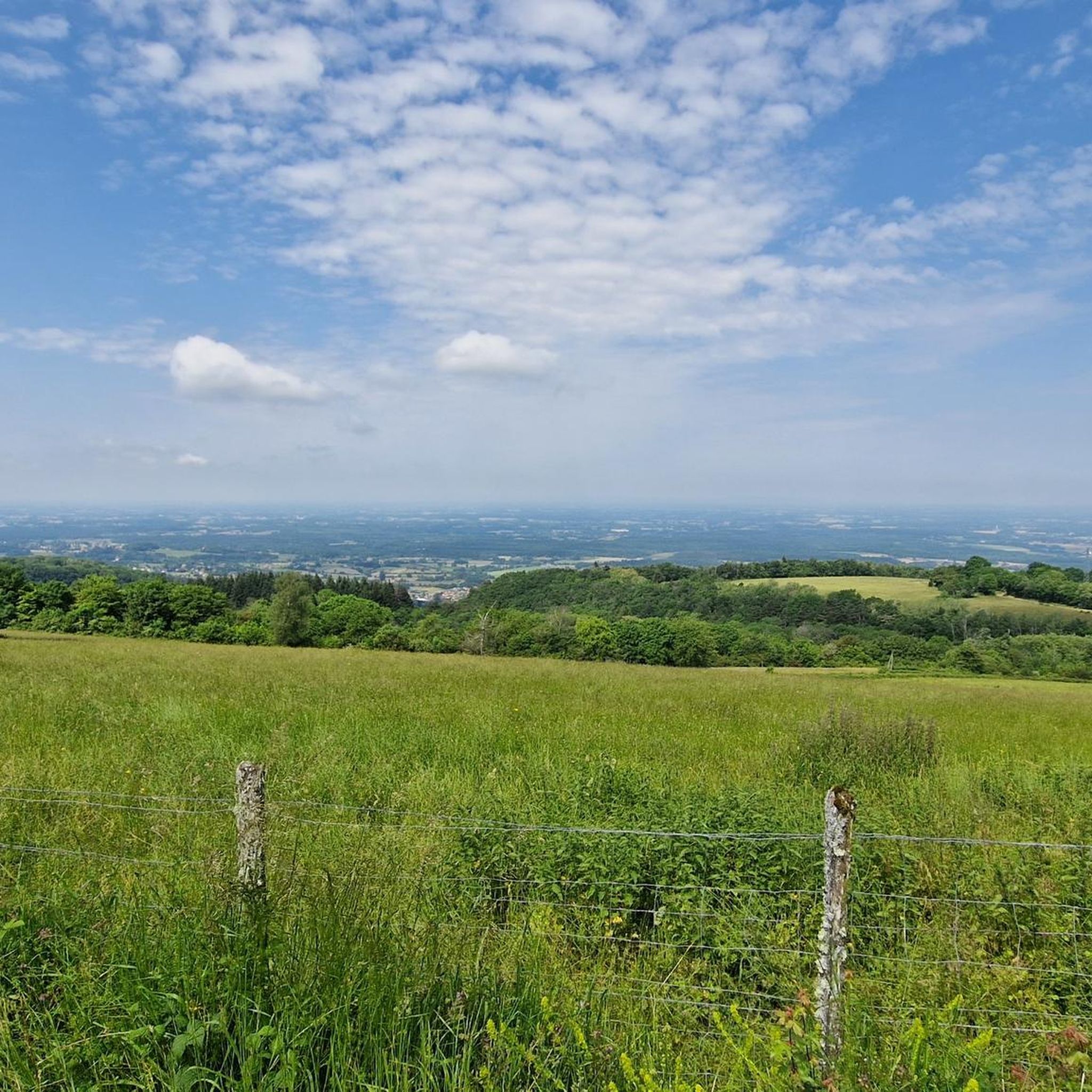
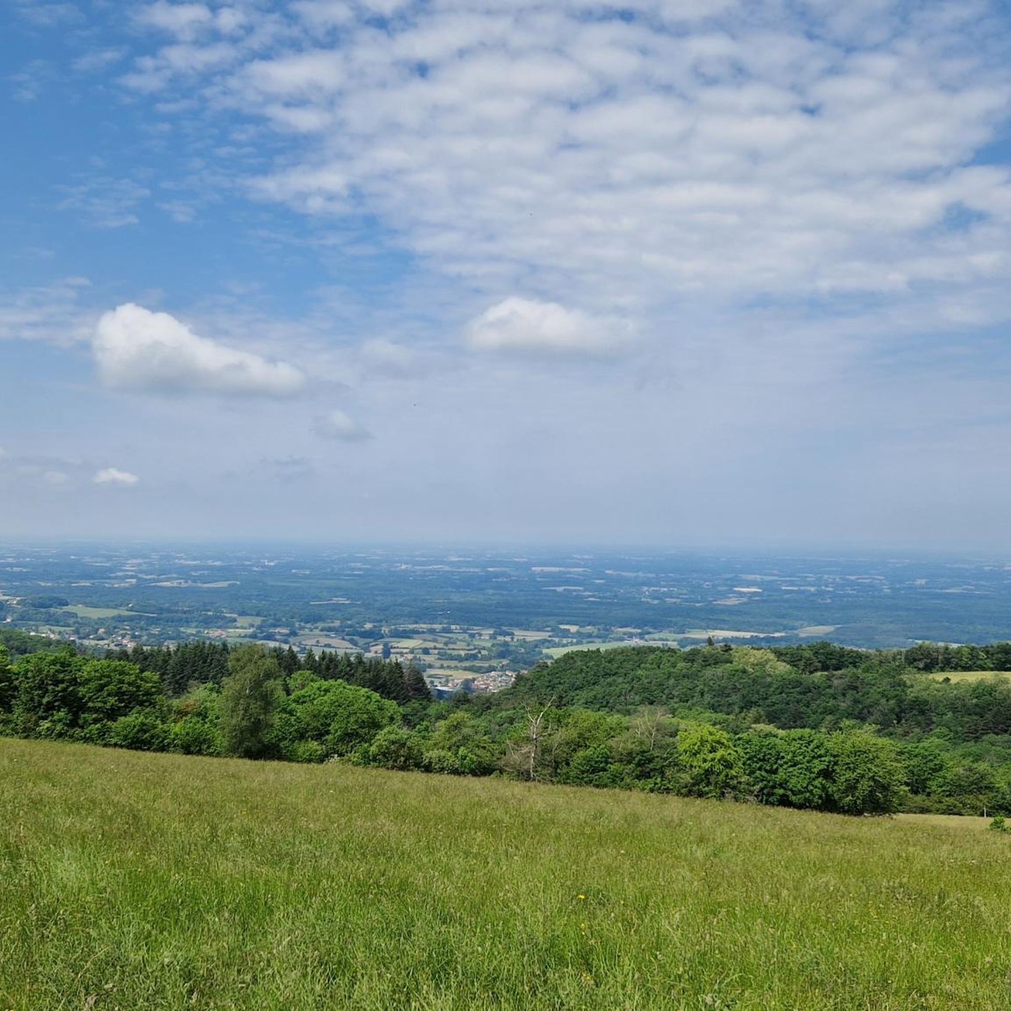
The Chanelet belvedere or Gizia cross belvedere offers superb views of the valley, the Bresse plain, and even the Côte-d'Or on a clear day.
0
0
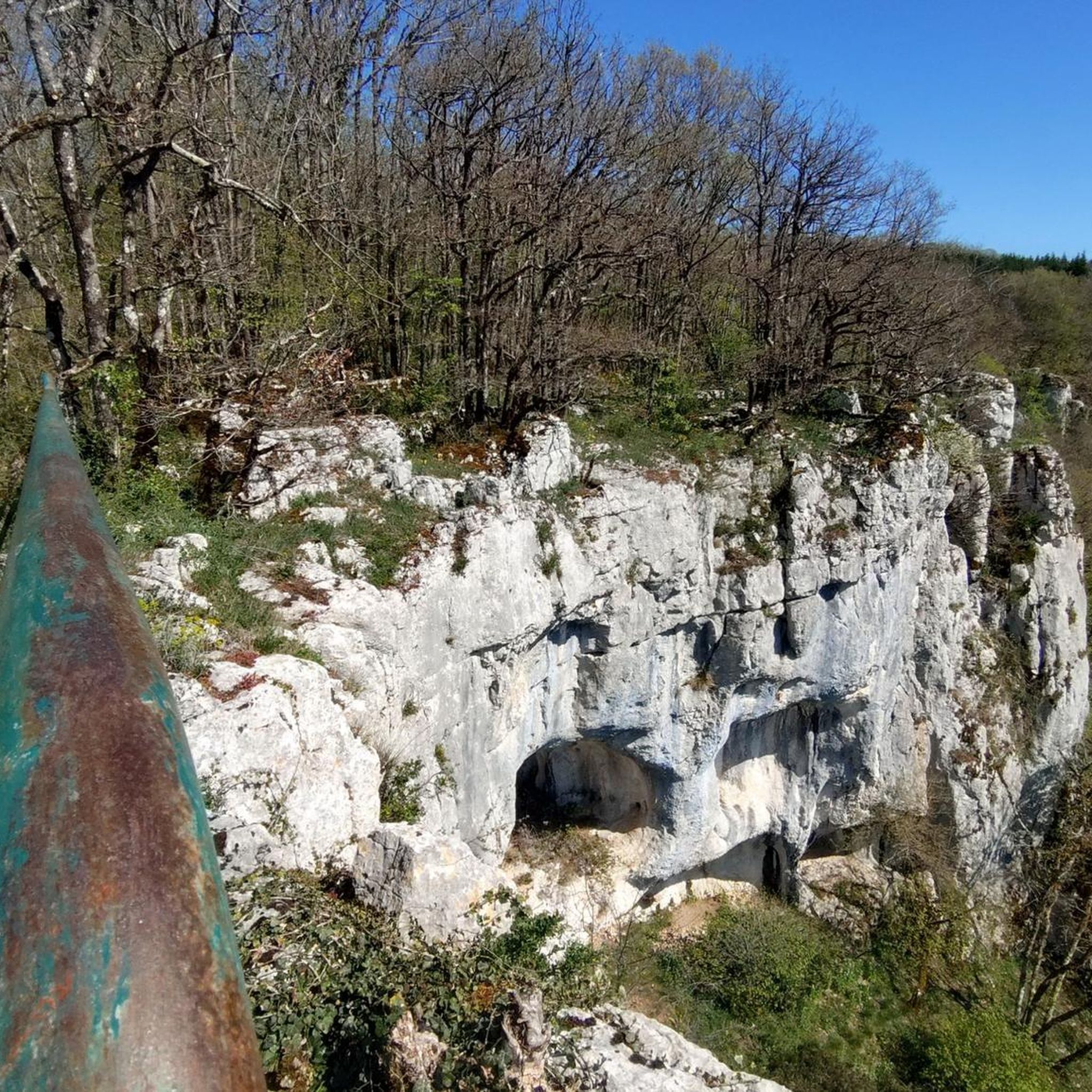
Perched between Bresse and Revermont, this small village is home to the eponymous castle. Dating from the 12th century, the building dominates the Bresse plain from its rocky promontory located at an altitude of 470 meters. Largely in ruins, it can be visited free of charge all year round.
0
0

Châtel is intimately linked to the history of the Via Cluny paths. This quiet little village has housed a large religious community. Marked by the presence of the Benedictines of Gigny from 974 to 1359, Manassès III de Coligny made Châtel a Benedictine priory linked to the abbey of Gigny. The abbey of Cluny then named "the prior of Châtel", while the church of Saint-Etienne de Châtel became the seat of a vast parish.
1
0
Charming Romanesque style church.
0
0
This church houses the painting of “Christ in Outrage” by the famous painter Puvis de Chavannes. From the forecourt of the church you enjoy a magnificent view of the Bresse.
0
0
Frequently Asked Questions
How many running routes are available around Graye-Et-Charnay?
There are over 90 running routes around Graye-Et-Charnay. This includes a variety of options, from easy paths to more challenging ascents, catering to different fitness levels.
What kind of terrain can I expect on the jogging trails in Graye-Et-Charnay?
The terrain around Graye-Et-Charnay is diverse, with elevations ranging from 367 to 604 meters. You'll find a mix of gentle slopes and more challenging ascents, winding through rural pathways, agricultural land, and wooded areas. The region is characterized by its 'herbaceous landscape' in the Suran Valley, offering open, green spaces.
Are there any easy running routes for beginners in Graye-Et-Charnay?
Yes, while many routes are moderate to difficult, there is at least one easy running route available. The varied elevation means you can find paths suitable for a leisurely run, especially along the rural pathways and open green spaces of the Suran Valley.
What are some notable landmarks or viewpoints I can see while running?
You can enjoy scenic views from places like the Belvédère de Chanelet. The Saint Saturnin church, perched on Le Métiou, also offers 'unbeatable views' over the Suran plain. Some routes, like the Belvédère de Chanelet – Chevreaux Castle loop from Cuiseaux, specifically highlight these points of interest. You might also pass by historical sites such as Chevreaux Castle or the Ancient Roman Road of Montagna.
Are there any running routes that pass by waterfalls?
Yes, you can find routes that lead to natural water features. For example, the Quinquenouille Waterfall is a nearby attraction that some running paths might incorporate or pass close to, offering a refreshing sight during your run.
What do other runners say about the trails in Graye-Et-Charnay?
The running routes in Graye-Et-Charnay are highly rated by the komoot community, with an average score of 4.2 stars from 20 reviews. Runners often praise the varied terrain, the natural setting, and the peaceful rural pathways that make for an enjoyable outdoor experience.
Are there any long-distance running trails for experienced runners?
Absolutely. For those looking for a longer challenge, routes like the Cuiseaux – Chanelet Viewpoint loop from Cuiseaux span over 32 km (20.1 miles) and involve significant elevation gain, making them suitable for experienced runners seeking a demanding workout.
Can I find circular running routes in the area?
Yes, many of the running routes around Graye-Et-Charnay are circular, allowing you to start and finish at the same point. Examples include the Belvédère de Chanelet – Chevreaux Castle loop from Cuiseaux and the Roman Road – Nice view loop from Cuiseaux.
Is Graye-Et-Charnay a good place for trail running?
Yes, Graye-Et-Charnay is situated in the broader Jura Mountains region, which is renowned for trail running. The area's mid-mountain contours, unspoilt nature, and numerous trails make it an excellent destination for trail runners, offering a natural and varied environment for your runs.
What is the best time of year to go jogging in Graye-Et-Charnay?
Given its rural setting and varied terrain, spring and autumn generally offer the most pleasant conditions for jogging, with milder temperatures and beautiful natural scenery. Summer can also be enjoyable, especially in the mornings or evenings, while winter might present more challenging conditions depending on snow and ice.
Are there any running routes that are particularly scenic?
Many routes offer scenic views due to the region's natural beauty. The 'herbaceous landscape' of the Suran Valley provides open, green vistas. Routes that include viewpoints like Belvédère de Chanelet or pass through wooded areas are particularly scenic, offering breathtaking scenery and natural beauty.
What is the average difficulty of running routes in Graye-Et-Charnay?
The routes in Graye-Et-Charnay offer a mix of difficulties. Out of 95 routes, 56 are classified as moderate and 38 as difficult, with only one easy route. This indicates that many trails involve significant elevation changes and are best suited for runners with some experience or those looking for a challenge.
Most popular attractions around Graye-Et-Charnay

Get inspired with the komoot mobile app


Explore more
Browse the best Running Trails & Routes in other regions.
