The best walks and hikes around Villereversure
4.4
(786)
3,887
hikers
242
hikes
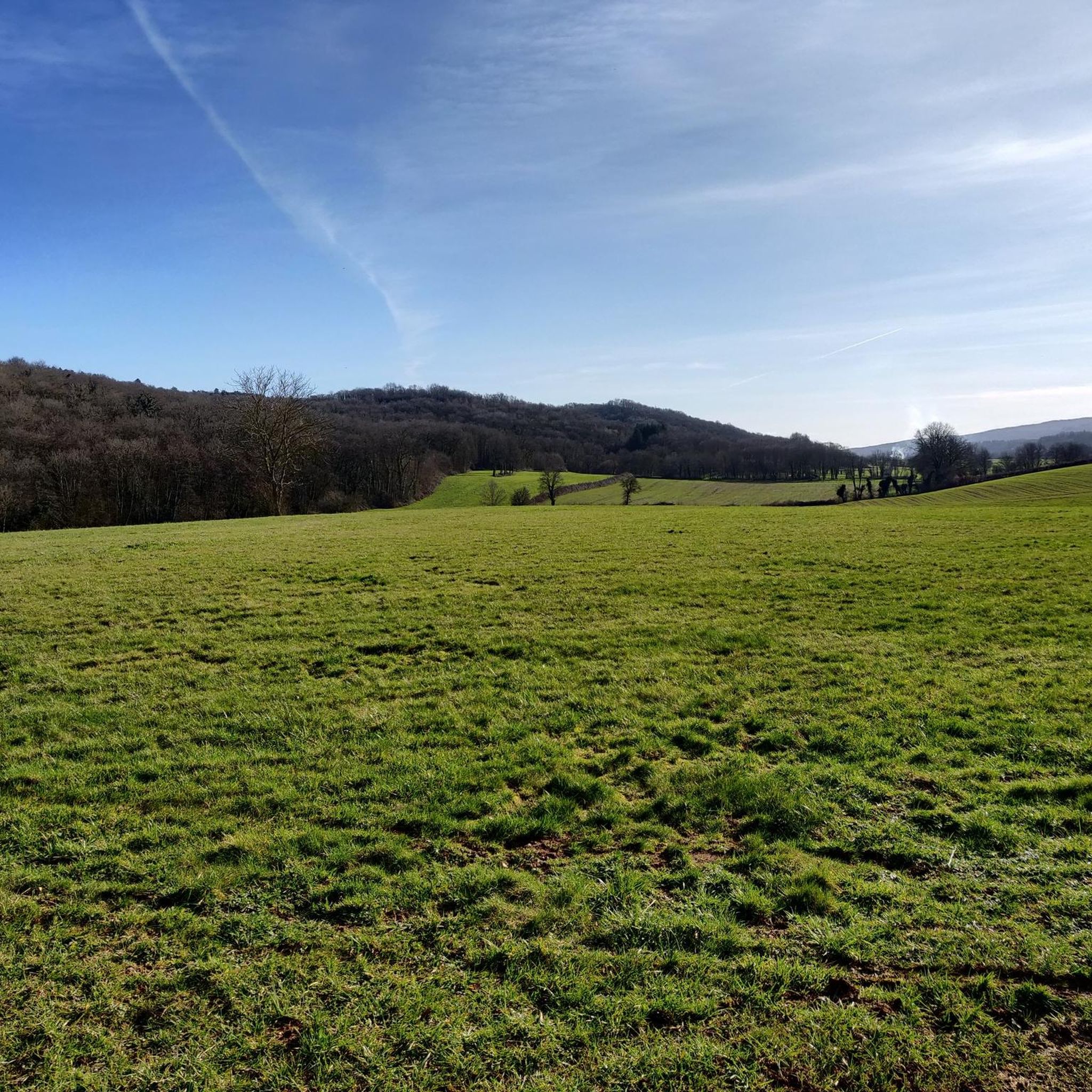
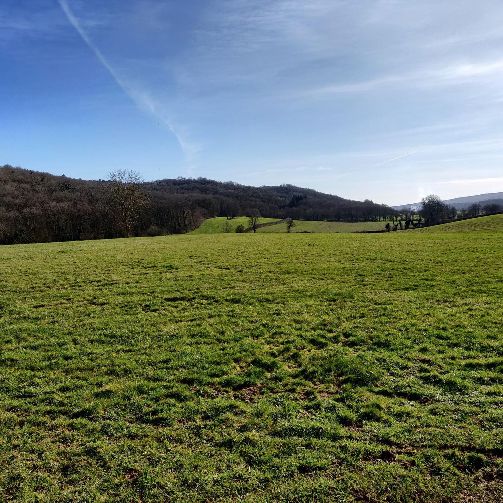
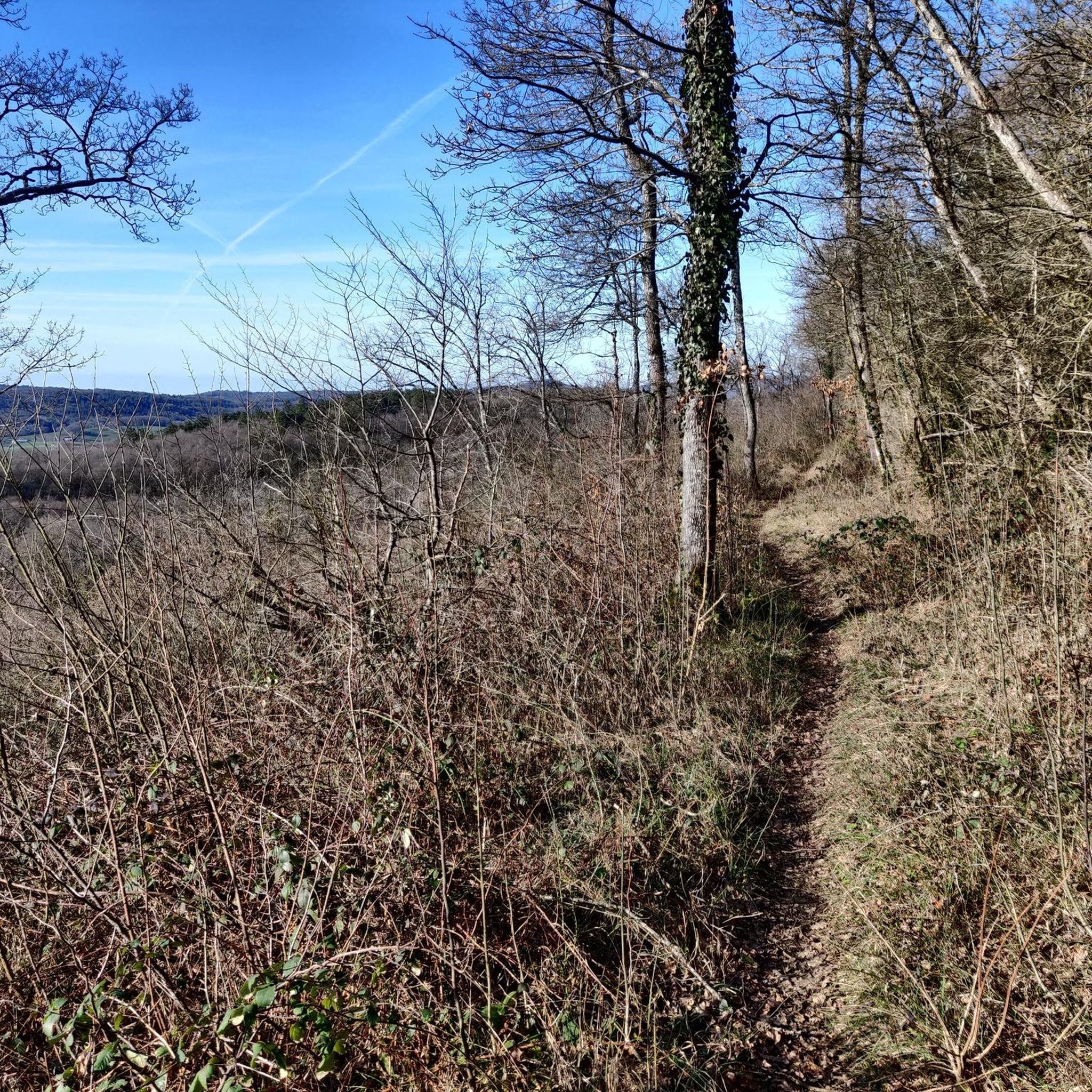
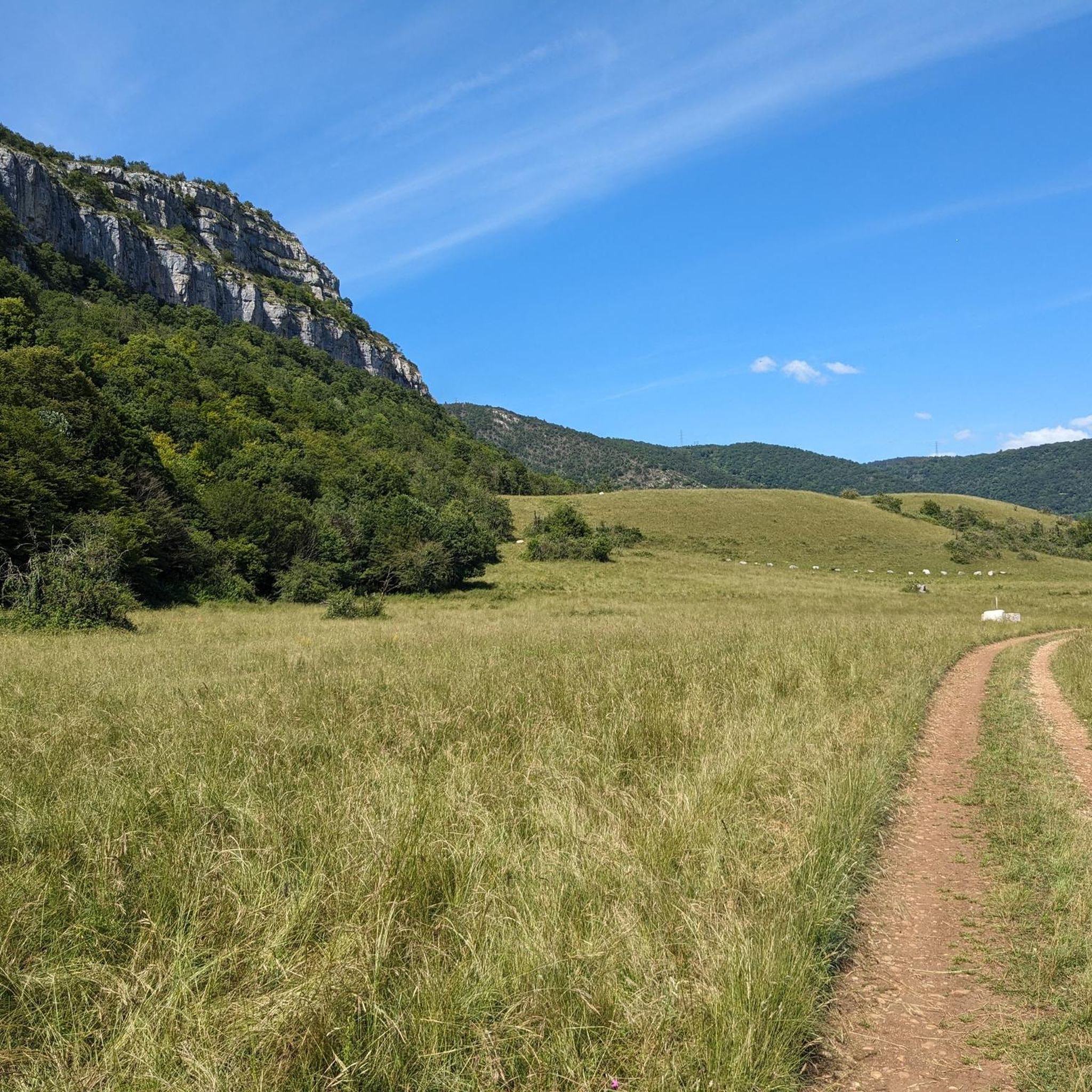
Hiking around Villereversure offers diverse landscapes in the Ain department of eastern France. The region is characterized by mountainous terrain, providing views over the Suran valley and the Revermont mountains. The Suran River flows through Villereversure, shaping the valley, while notable geological features include the Jarbonnet Rocks. These elements combine to create varied hiking opportunities.
Best hiking trails around Villereversure
- The most popular hiking route is The rocks of Jarbonnet - loop, a 5.5 miles (8.8 km) trail that…
Last updated: May 15, 2026
4.8
(64)
215
hikers
10.0km
03:05
370m
370m
Moderate hike. Good fitness required. Easily-accessible paths. Suitable for all skill levels.
4.5
(2)
22
hikers
20.7km
05:50
430m
430m
Hard hike. Very good fitness required. Easily-accessible paths. Suitable for all skill levels.

Sign up for free
5.0
(1)
14
hikers
16.3km
04:42
410m
410m
Moderate hike. Good fitness required. Easily-accessible paths. Suitable for all skill levels.
4.3
(4)
21
hikers
8.54km
02:33
270m
270m
Moderate hike. Good fitness required. Easily-accessible paths. Suitable for all skill levels.
3.7
(3)
8
hikers
26.5km
07:48
740m
740m
Hard hike. Very good fitness required. Easily-accessible paths. Suitable for all skill levels.
Get access to more routes and recommendations from other explorers.
Sign up for free
Already have an account?
Our route recommendations are based on thousands of hikes, rides, and runs completed by other people on komoot.
Start today with a free account
Your next adventure awaits.
Login or Signup

Tips from the Community

good shoes, lots of stone paths
0
0


beautiful unobstructed view towards Bourg-en-Bresse
0
0

Spectacular view overlooking the Ain Gorges. The Jarbonnet rocks form beautiful cliffs above the valley.
0
0


Nestled at the bottom of a valley, on the side of the road which goes from Bourg en Bresse to Oyonnax, this building is only clearly revealed nearby, on the GR, which runs alongside the enclosure. Drainages cut the path in several places, to a greater or lesser extent depending on the rainfall, but are designed to be passable. Access is easy, provided you are properly shod and covered depending on the season.
0
0

The rocks are a fascinating configuration of cliffs that also offer stunning views of the Ain River.
2
0

Superb panorama on the Ain
0
0
Frequently Asked Questions
How many hiking trails are available around Villereversure?
There are over 230 hiking routes around Villereversure, offering a wide range of options for different skill levels and preferences. This includes 71 easy routes, 144 moderate routes, and 15 more challenging trails.
What kind of terrain can I expect on hikes in Villereversure?
The region around Villereversure is characterized by mountainous terrain, offering picturesque views over the Suran valley and the Revermont mountains. You'll find trails that wind along the tranquil Suran River, through unique geological formations like the Jarbonnet Rocks, and up steep ascents for panoramic vistas.
Are there any easy hikes suitable for beginners or families in Villereversure?
Yes, Villereversure offers a good selection of easy trails. For example, the 'Evosges Memorial Trail' is an easy 3.5-hour hike mentioned in the region research. Overall, there are 71 easy routes available, making it suitable for beginners or families looking for a relaxed outdoor experience.
Are there any circular hiking routes around Villereversure?
Yes, many routes in the area are circular. A popular option is The rocks of Jarbonnet - loop, which is a moderate 5.5-mile (8.8 km) trail. Another is the 'Tour of the hamlets of Villereversure,' a loop exploring historical settlements within the commune.
What are some notable natural features or landmarks to see while hiking?
Hikers can explore several unique natural features. The Jarbonnet Rocks offer a magical path with magnificent experiences. The Suran River is a prominent feature, and the region is also known for wild orchids in its elevated areas. Additionally, the Cize-Bolozon Viaduct, an impressive railway bridge, is a notable landmark within the natural scenery.
Are there any waterfalls or caves to visit near Villereversure?
Yes, the area boasts natural attractions like caves and waterfalls. You can visit the Cerdon Caves, a significant nearby attraction. There's also the Cascade de la Pisse Vache, a beautiful waterfall to discover.
What do other hikers enjoy most about hiking in Villereversure?
The area is highly rated by the komoot community, with an average score of 4.4 stars from over 700 reviews. Hikers often praise the diverse landscapes, the unique geological formations like the Jarbonnet Rocks, and the variety of trails suitable for different ability levels.
Is Villereversure a good destination for more challenging hikes?
Absolutely. For those seeking a challenge, there are 15 difficult routes available. A notable difficult trail is Val de Buenc and the Ain Gorges, a 12.5-mile (20.1 km) path that explores dramatic landscapes. Another challenging option is the Grand-Corrent Climb – Steep Ascent to Grand Corent loop from Grand-Corent.
What is the best time of year to go hiking in Villereversure?
The region's diverse landscapes make it enjoyable across seasons. Spring and autumn are generally ideal for hiking, offering pleasant temperatures and vibrant scenery. Spring also brings the blooming of wild orchids in the elevated areas. While winter conditions can vary, some trails may still be accessible.
Are there any historical sites or cultural points of interest along the trails?
Yes, many trails blend natural exploration with cultural discovery. The 'Tour of the hamlets of Villereversure' loop, for instance, leads past historical elements like ancient crosses, fountains, wash houses, and former mills. You can also find the Ruins of Jasseron Castle nearby.
Are there options for accommodation or places to eat in Villereversure?
Villereversure and its surrounding communes offer various amenities for visitors. While specific establishments are not detailed here, the region research indicates that gîtes and other accommodation options are available, along with cafes and restaurants to refresh after your hikes.
Is public transport available to reach hiking trailheads in Villereversure?
While specific public transport routes to individual trailheads are not detailed, Villereversure is accessible within the Ain department. It's advisable to check local public transport schedules for connections to the village, and then plan your route to the desired trailhead, as some may require a short walk or local taxi.
Do I need any permits to hike in the Ain department around Villereversure?
Generally, permits are not required for hiking on established trails in the Ain department. However, it's always good practice to respect private property, stay on marked paths, and be aware of any local regulations, especially if venturing into protected natural areas.
Most popular routes around Villereversure
Most popular attractions around Villereversure

Get inspired with the komoot mobile app


Explore more
Browse the best Hikes in other regions.
