The best walks and hikes around Béard-Géovreissiat
4.5
(796)
4,745
hikers
141
hikes
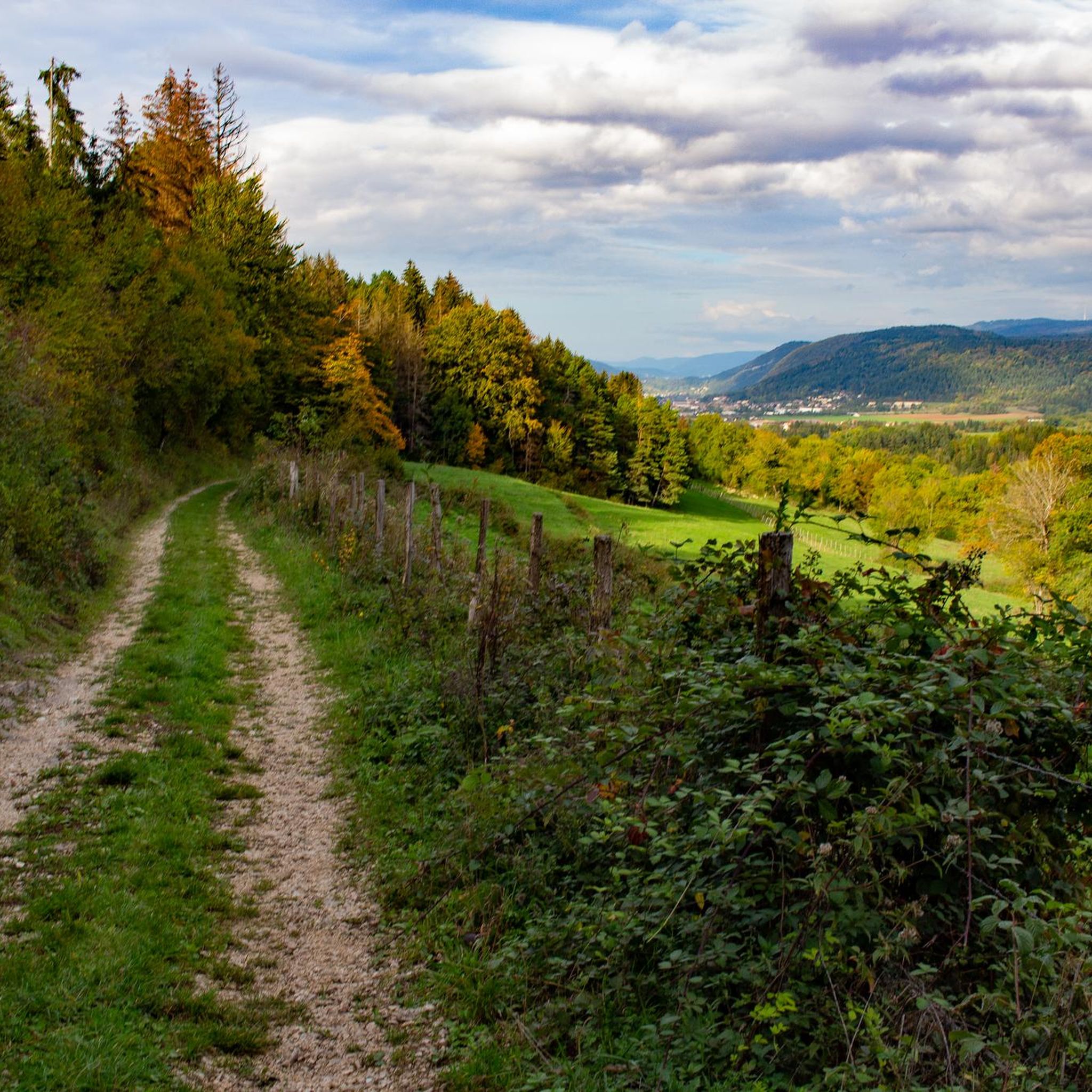
Hiking around Béard-Géovreissiat offers diverse landscapes within the Ain department of France. The region features a mix of lush forests, the Ain mountains, and significant natural features like the Gorges of the Ain and Valouse. Hikers can explore varied terrains, including plateaus such as the Plateau de la Belloire, providing expansive views of the Plaine de l'Ain and Monts du Bugey. The area is characterized by its natural environment, suitable for outdoor exploration.
Best hiking trails around Béard-Géovreissiat
- The most…
Last updated: June 27, 2026
4.2
(6)
15
hikers
6.63km
02:03
250m
240m
Moderate hike. Good fitness required. Easily-accessible paths. Suitable for all skill levels.
4.6
(54)
406
hikers
6.93km
01:50
70m
70m
Easy hike. Great for any fitness level. Easily-accessible paths. Suitable for all skill levels.

Sign up for free
4.5
(15)
127
hikers
Moderate hike. Good fitness required. Mostly accessible paths. Sure-footedness required.
4.4
(10)
82
hikers
22.6km
07:01
740m
740m
Hard hike. Very good fitness required. Mostly accessible paths. Sure-footedness required.
4.7
(15)
77
hikers
7.17km
02:29
310m
310m
Moderate hike. Good fitness required. Mostly accessible paths. Sure-footedness required.
Get access to more routes and recommendations from other explorers.
Sign up for free
Already have an account?
Our route recommendations are based on thousands of hikes, rides, and runs completed by other people on komoot.
Start today with a free account
Your next adventure awaits.
Login or Signup

Tips from the Community

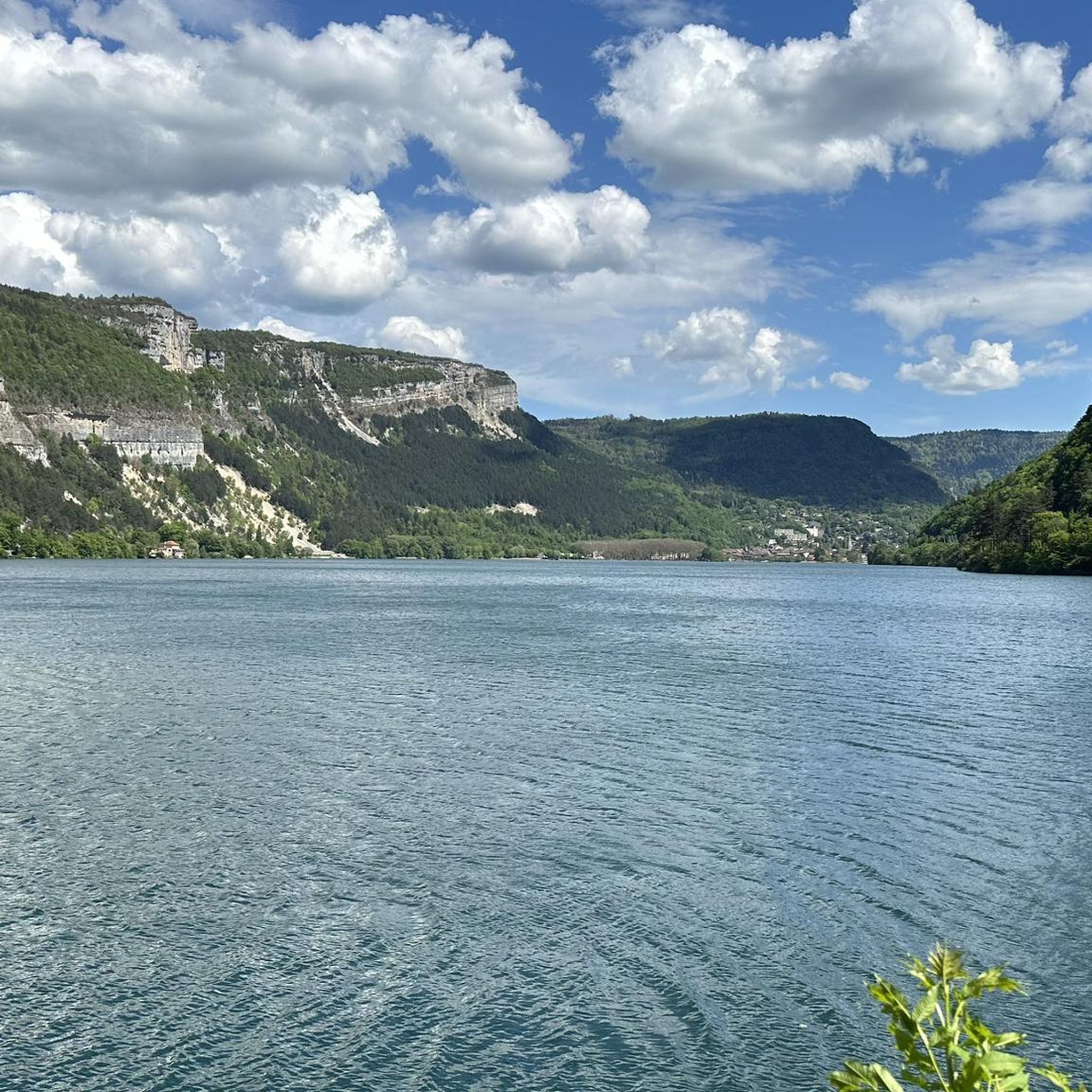
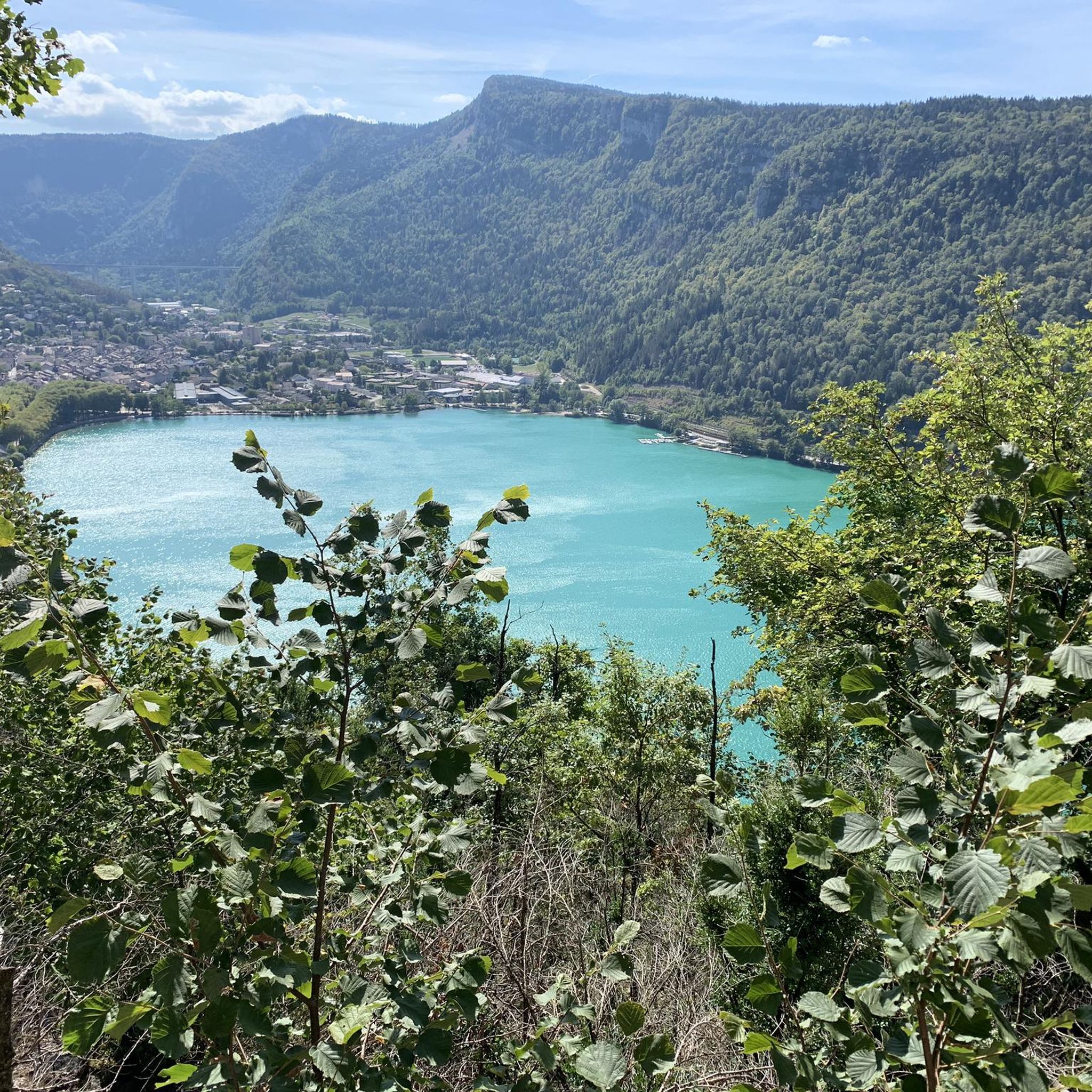
The Lac de Nantua is a superb body of water of 141 hectares. In the heart of the Jura, it offers an ideal setting for practicing a multitude of sports. It is even possible to swim in its waters.
1
0

Beautiful varied hike, with 4 viewpoints from different directions.
0
0

Beautiful, simple, easy walk; lots of traffic noise on the "road" section, a bit of a shame, but the color of the water is magical
1
0

Still tracks but very nice route with a nice climb
1
0


The Chemin des Fècles offers a superb route. As you follow this path which passes from deep woods to steep cliffs, be extremely careful not to go too far to the edge of the void. Above all, respect the safety instructions.
1
0

Impressive rock above Mantua
0
0
Frequently Asked Questions
How many hiking trails are available around Béard-Géovreissiat?
There are nearly 140 hiking routes in the Béard-Géovreissiat area, catering to various skill levels. You'll find 47 easy trails, 80 moderate routes, and 12 more challenging options.
What kind of natural features can I expect to see on hikes in Béard-Géovreissiat?
The region is rich in natural beauty, featuring lush forests, the Ain mountains, and significant natural features like the Gorges of the Ain and Valouse. You can also discover the beautiful Cascade de la Pisse Vache, the serene Lake Nantua, and unique geological formations like the Ondulated Rock Formation.
Are there any family-friendly hiking options in Béard-Géovreissiat?
Yes, Béard-Géovreissiat offers several easy trails suitable for families. For a relaxed walk with scenic views, consider the Lake Nantua – Lake Nantua loop from Port, which is 6.8 km long and relatively flat. The 'Voiles du Landeyron' is also described as an accessible forest walk with beautiful viewpoints, perfect for a family outing.
What are the best times of year to go hiking in Béard-Géovreissiat?
The Ain mountains, where Béard-Géovreissiat is located, offer diverse terrains suitable for all seasons. Spring and autumn provide pleasant temperatures and vibrant scenery, while summer is ideal for enjoying the lakes and forests. Winter can offer opportunities for snowshoeing on higher trails, though some routes might be less accessible.
Are there any circular walks around Béard-Géovreissiat?
Many trails in the area are designed as circular routes, allowing you to start and end at the same point. A popular moderate option is the Chapel of Mornay Loop, which covers 6.6 km. For an easy lakeside experience, try the Lake Nantua – Lake Nantua loop from Port.
What do other hikers say about the trails in Béard-Géovreissiat?
The hiking routes in Béard-Géovreissiat are highly rated by the komoot community, with an average score of 4.5 stars from over 760 reviews. Hikers often praise the diverse landscapes, well-maintained paths, and the stunning views of natural features like Lake Nantua and the surrounding mountains.
Are there any trails with significant viewpoints or panoramic vistas?
Yes, the region offers several trails with expansive views. The Panoramic view of the lake – View over Lake Nantua loop from Montréal-la-Cluse is a great option for stunning lake vistas. Additionally, the Plateau de la Belloire offers expansive views of the Plaine de l'Ain and Monts du Bugey, and the Jarbonnet Rocks are a notable viewpoint.
Can I find any historical or architectural landmarks along the hiking routes?
Beyond natural beauty, you can encounter interesting landmarks. The impressive Cize-Bolozon Viaduct is a significant architectural feature visible from some trails, and the Chartreuse de Sélignac is a notable religious building in the vicinity.
Are there any challenging hikes for experienced trekkers?
For experienced hikers seeking a challenge, there are 12 difficult routes in the area. One such option is the Lake Nantua – View of Lake Nantua loop from Brion - Montréal-la-Cluse, which spans 22.6 km and involves significant elevation changes.
Is public transport available to access hiking trailheads in Béard-Géovreissiat?
While specific public transport details for individual trailheads are not readily available, the Ain department generally has regional bus services. It's advisable to check local transport schedules for routes connecting to villages near popular hiking areas. For broader information on activities in the Ain, you can visit ain-tourisme.com.
Are there any specific trails that feature waterfalls?
Yes, the region is home to the beautiful Cascade de la Pisse Vache, which can be visited as part of a walk. This natural feature provides a refreshing highlight to your hiking experience.
Most popular routes around Béard-Géovreissiat
Most popular attractions around Béard-Géovreissiat

Get inspired with the komoot mobile app


Explore more
Browse the best Hikes in other regions.
